Discover an expansive global adventure with our complete collection of 195 countries of the world coloring pages ready to print and explore.
Take an inspiring artistic voyage across all seven continents as you fill in sovereign borders, iconic cultural landmarks, and national symbols from across the globe. Grab an assortment of vivid markers and colored pencils, from deep ocean blues and lush rainforest greens to vibrant flag primaries, to bring every nation to life on the page.
💡 Tip: Click any image to print, save, download, or color online for free!
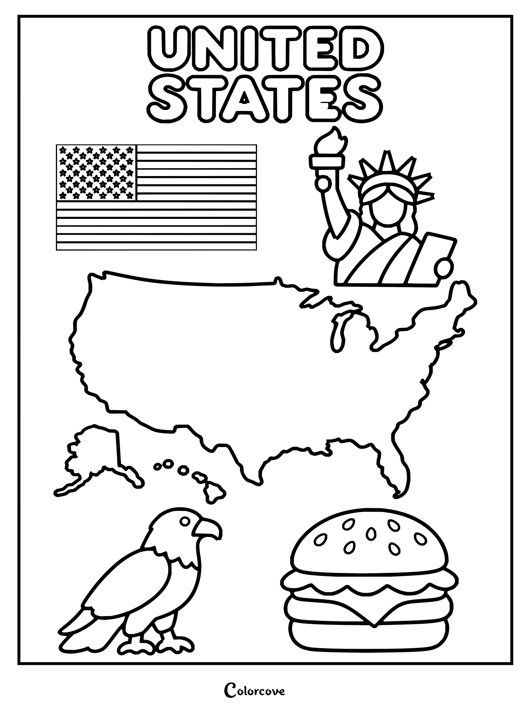
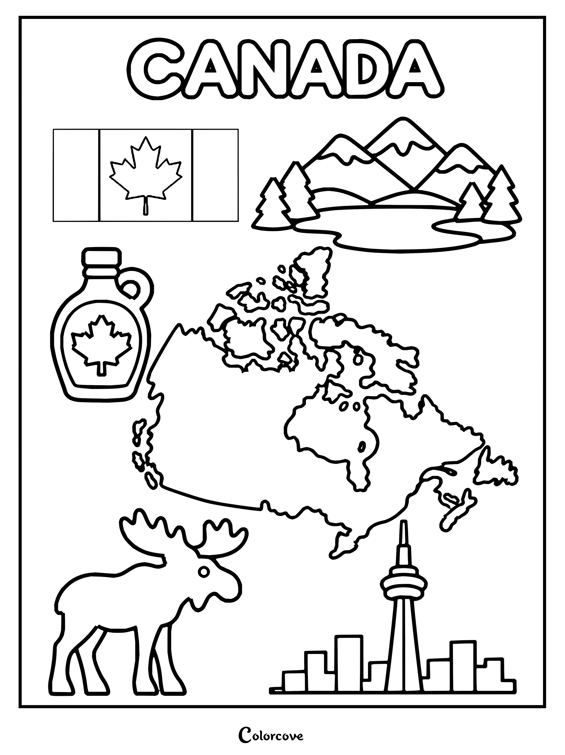
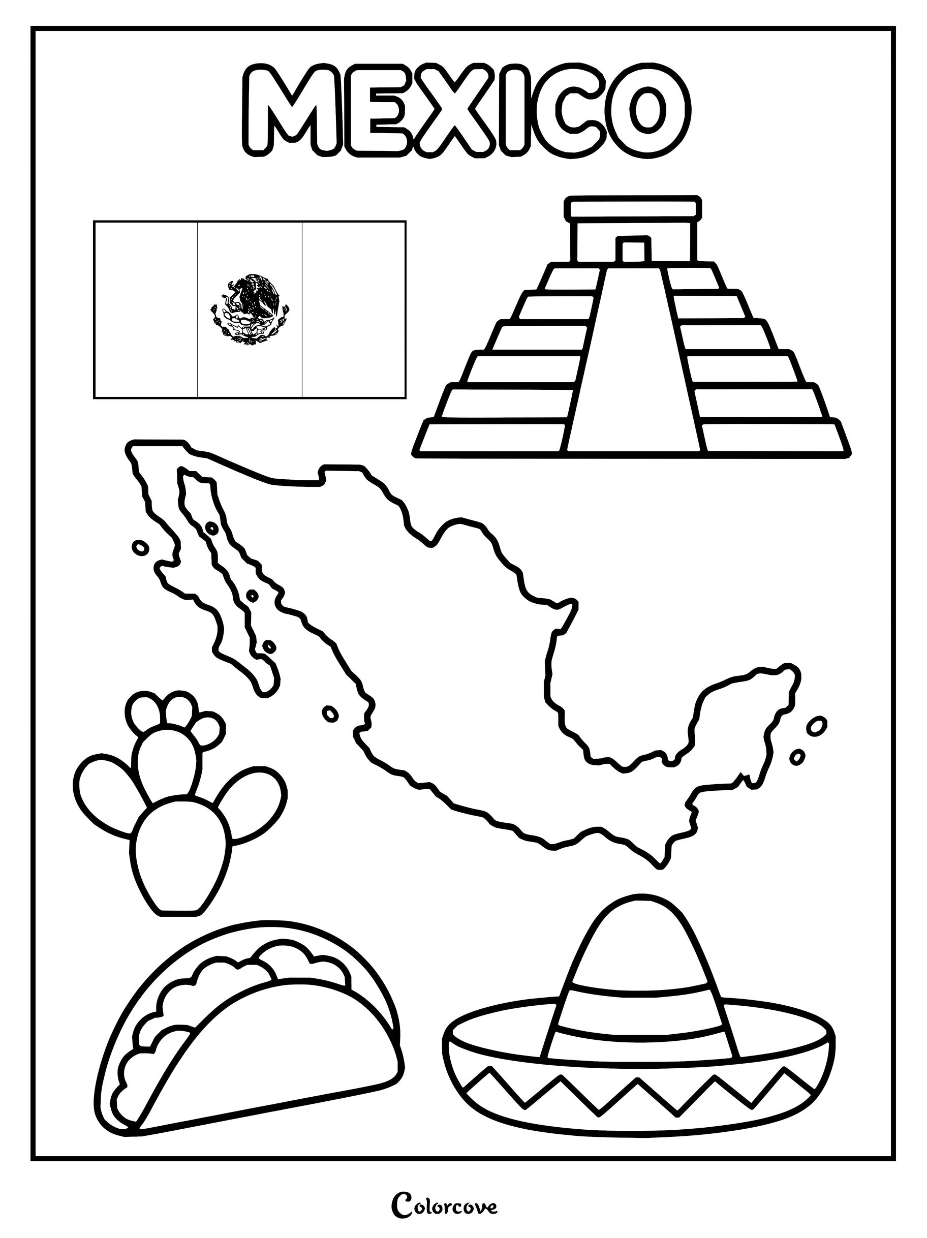
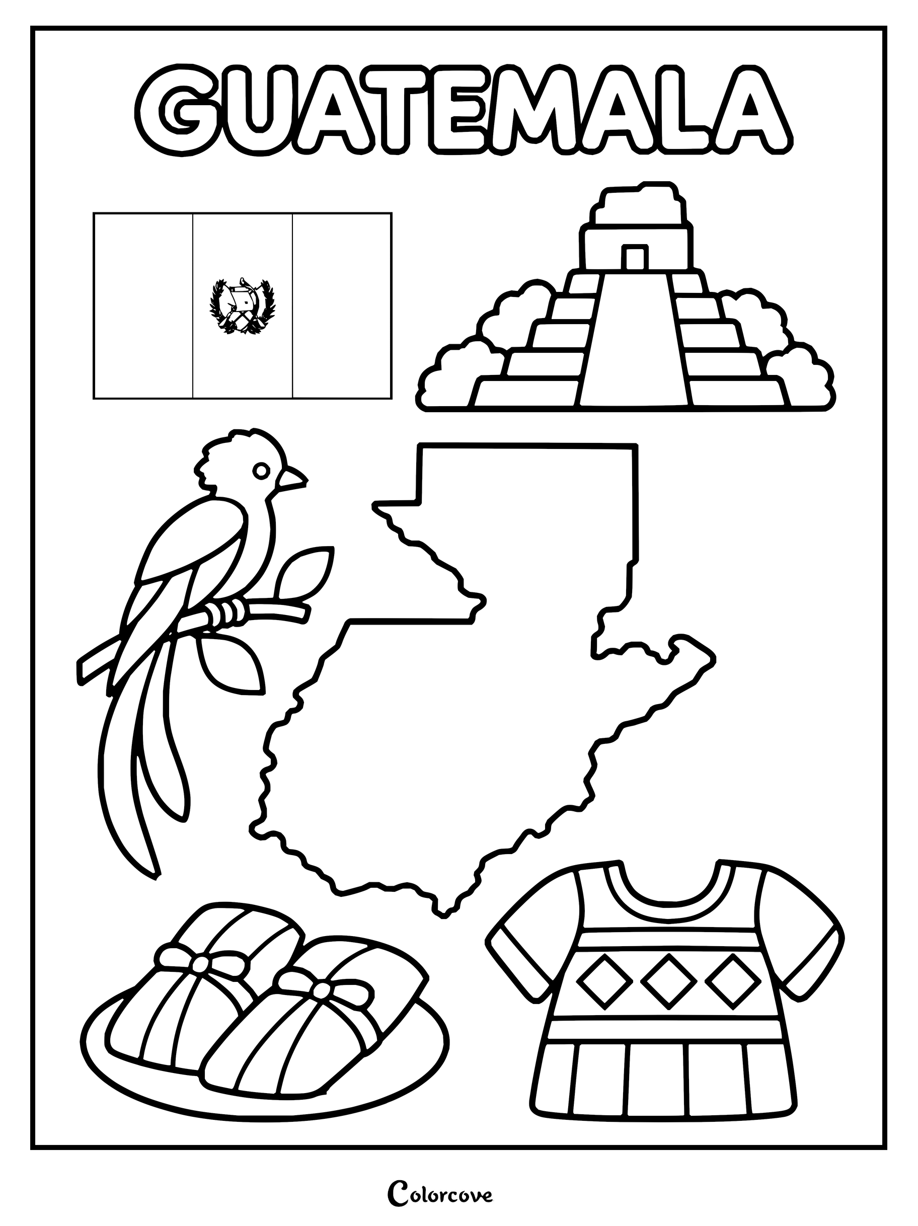
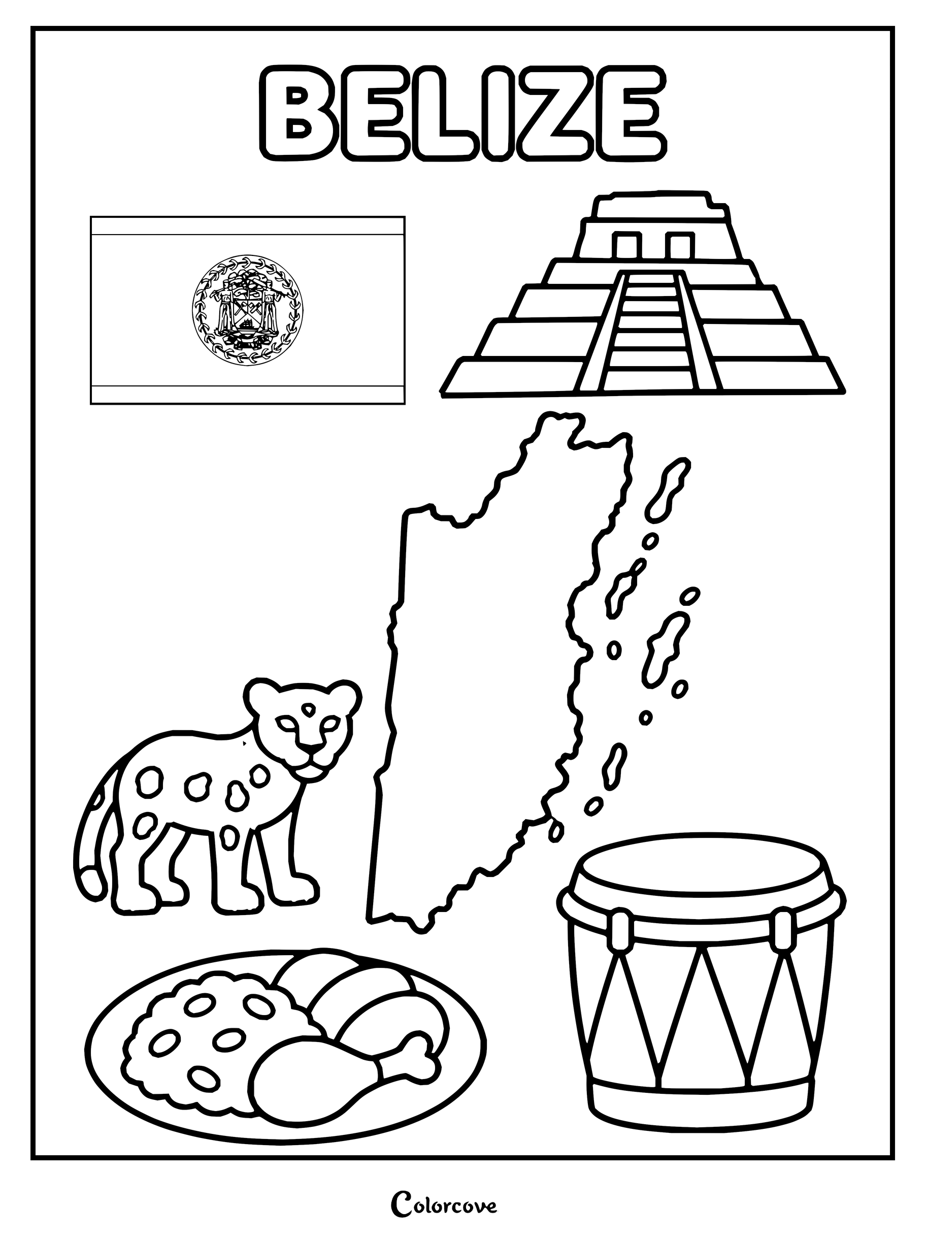
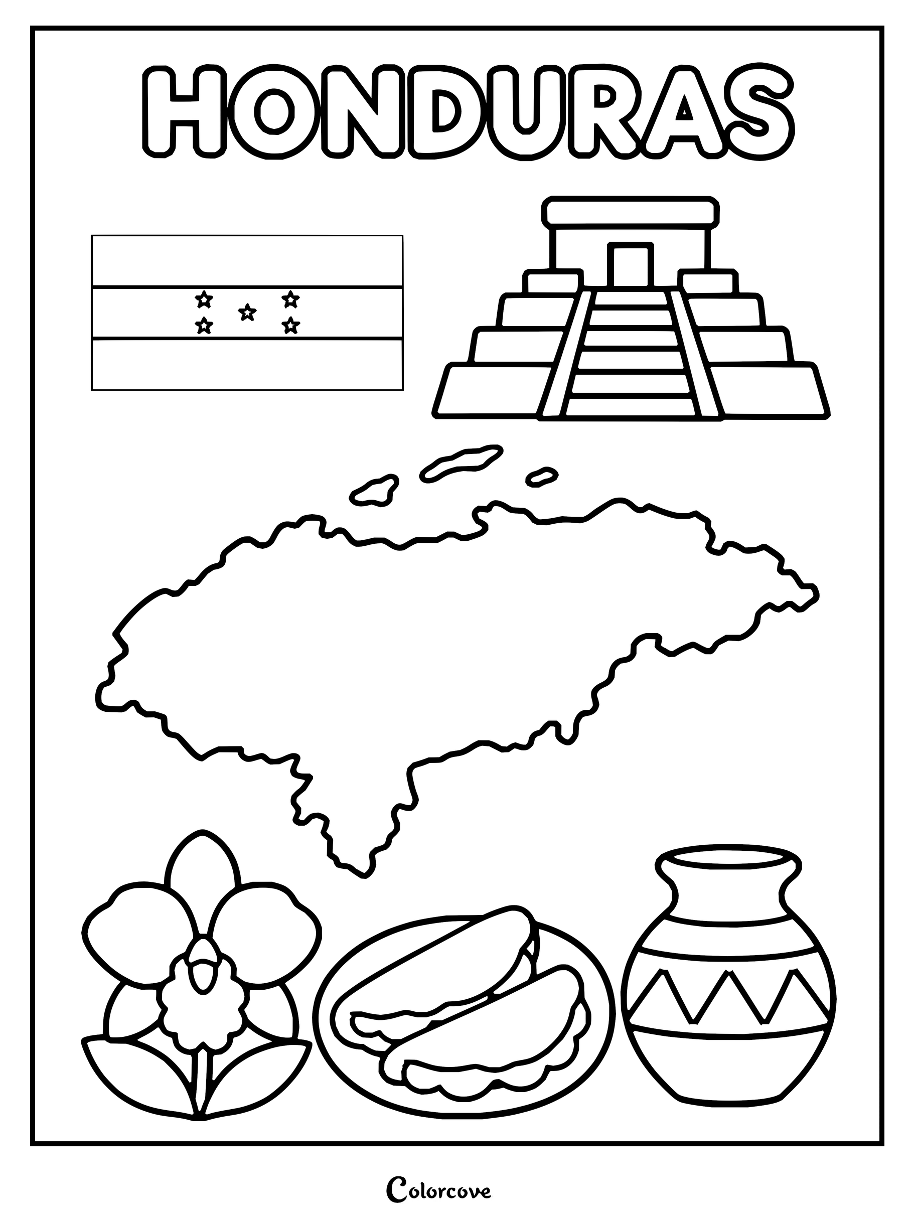
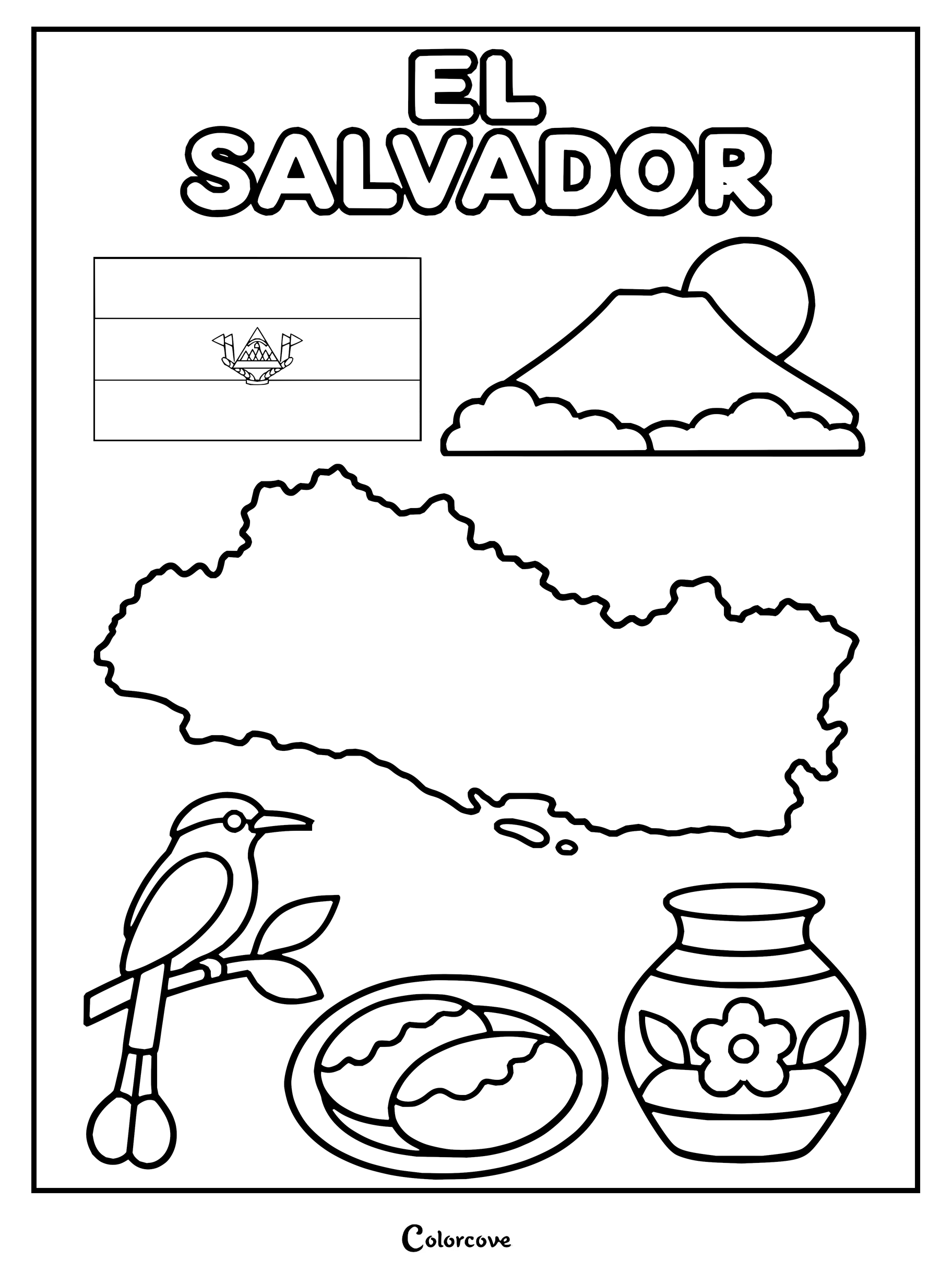
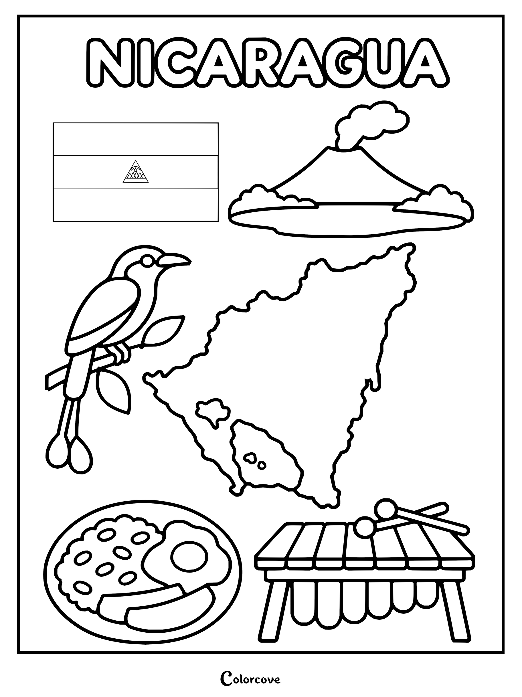
Embark on an overland journey highlighting sovereign territories from Canada down through the Central American isthmus. Colorists navigate towering mountain ranges, biodiverse jungles, and famous cityscapes across each regional coloring page.
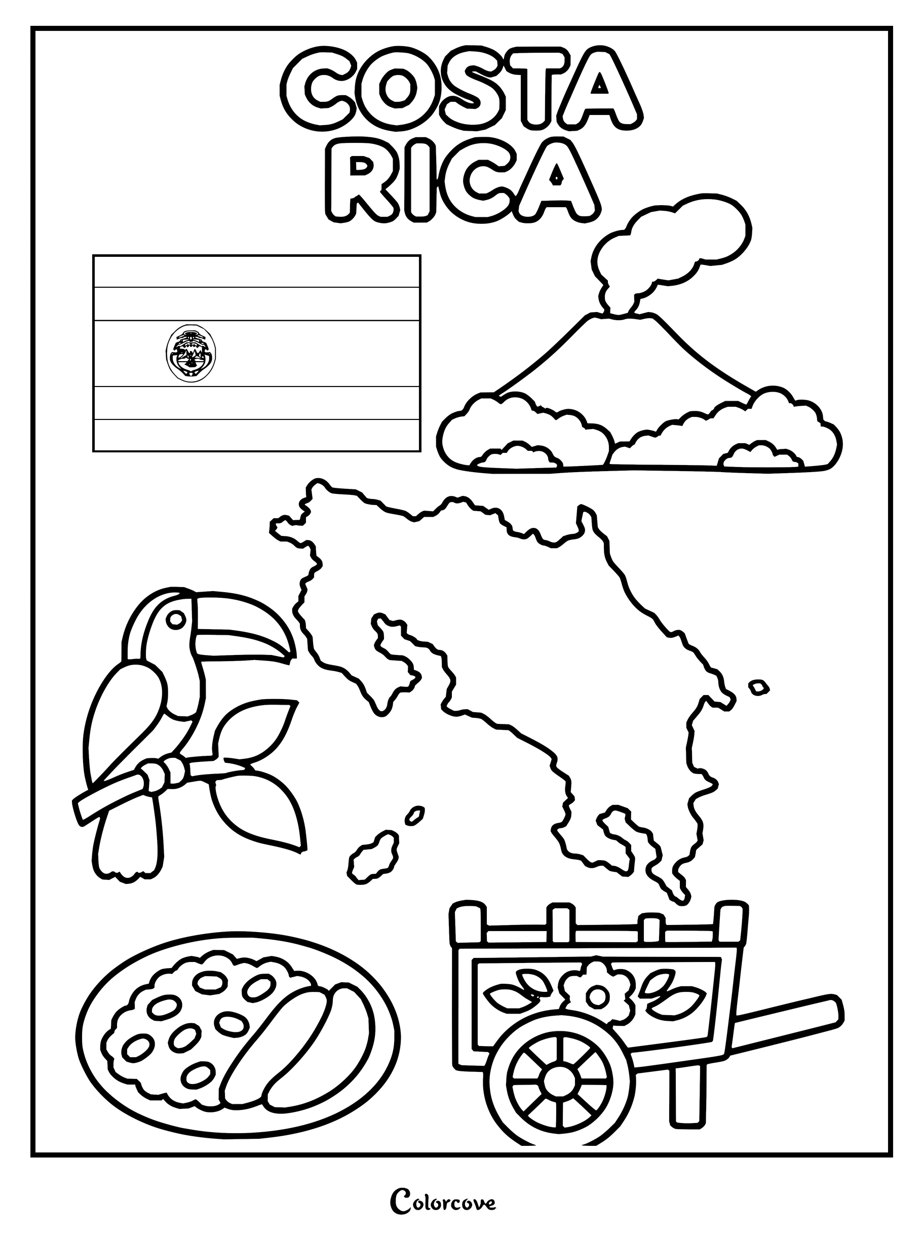
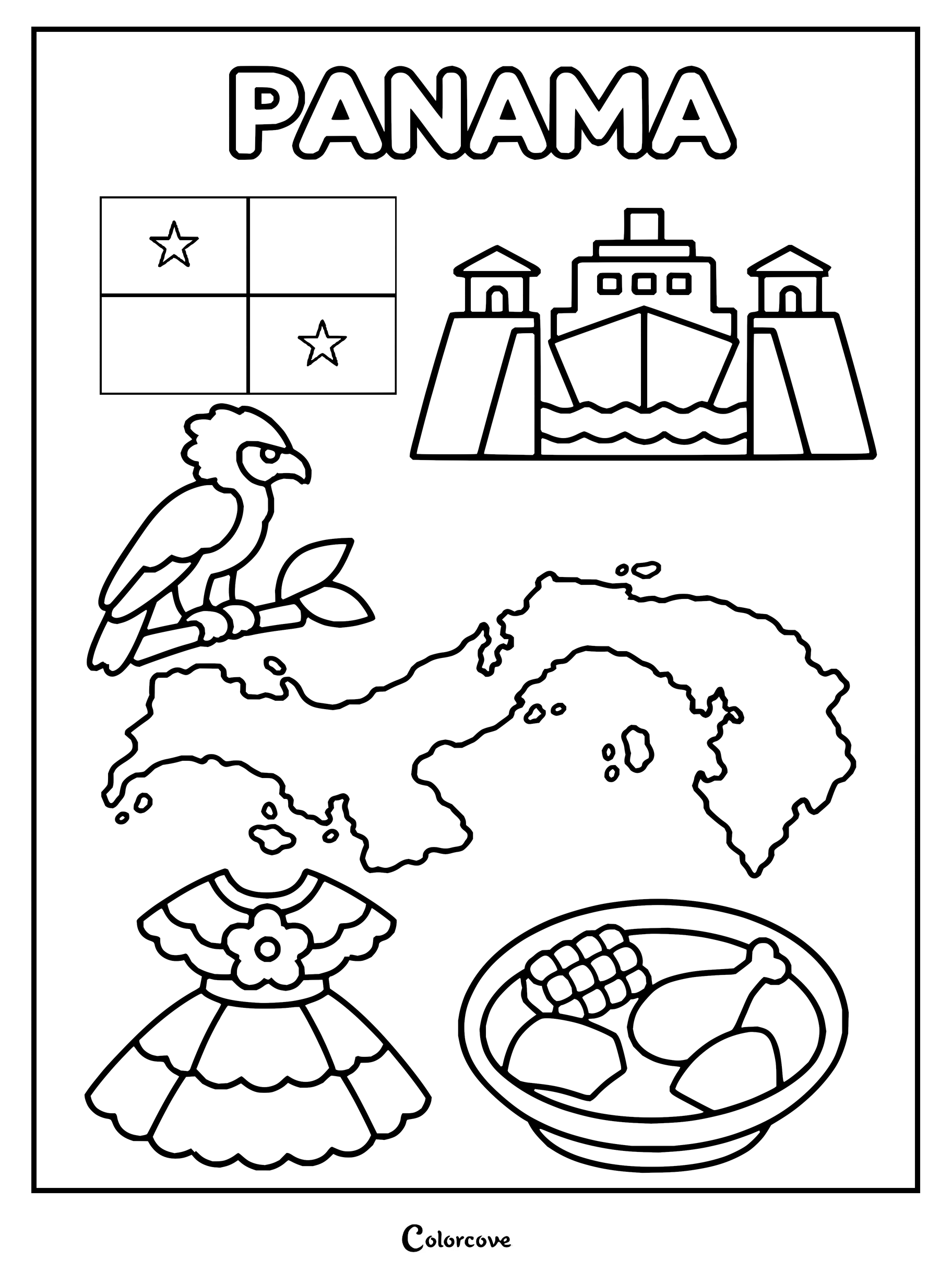
Color the map, flag, and iconic symbols of the United States.Coloring page highlighting Canadian symbols, map, moose, and skyline.Mexico cultural elements including the flag, a pyramid, a map, and traditional items.Explore Guatemalan culture with this fun educational coloring sheet.Educational coloring page featuring Belize symbols including map, flag, and jaguar.Educational coloring page featuring symbols and landmarks of Honduras.Explore El Salvador with cultural symbols like its flag, map, and national bird.Explore Nicaragua with national symbols including its map, flag, bird, and volcano.Discover Costa Rica with national symbols, a map, and cultural icons.Explore Panama’s national symbols, map, traditional dress, and local cuisine.
South American Countries
Venture through the Amazon river basin, the soaring Andes mountains, and vibrant coastal cities spanning the southern continent. Every South American coloring sheet provides intricate outlines celebrating unique territorial borders and storied heritage.
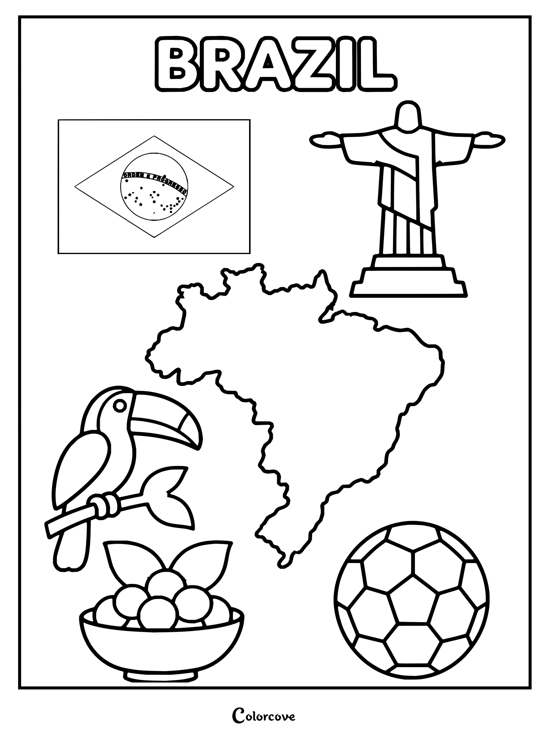
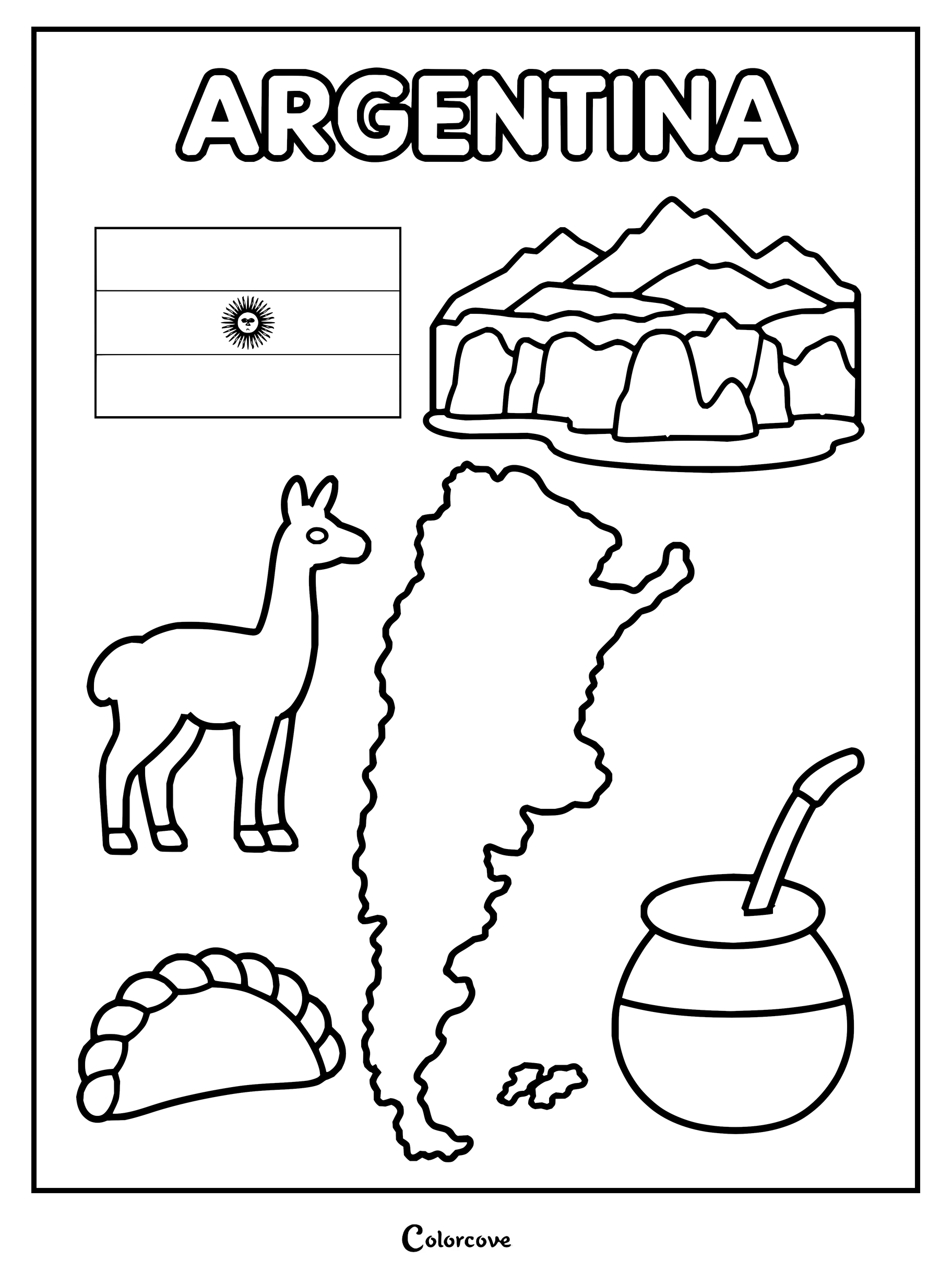
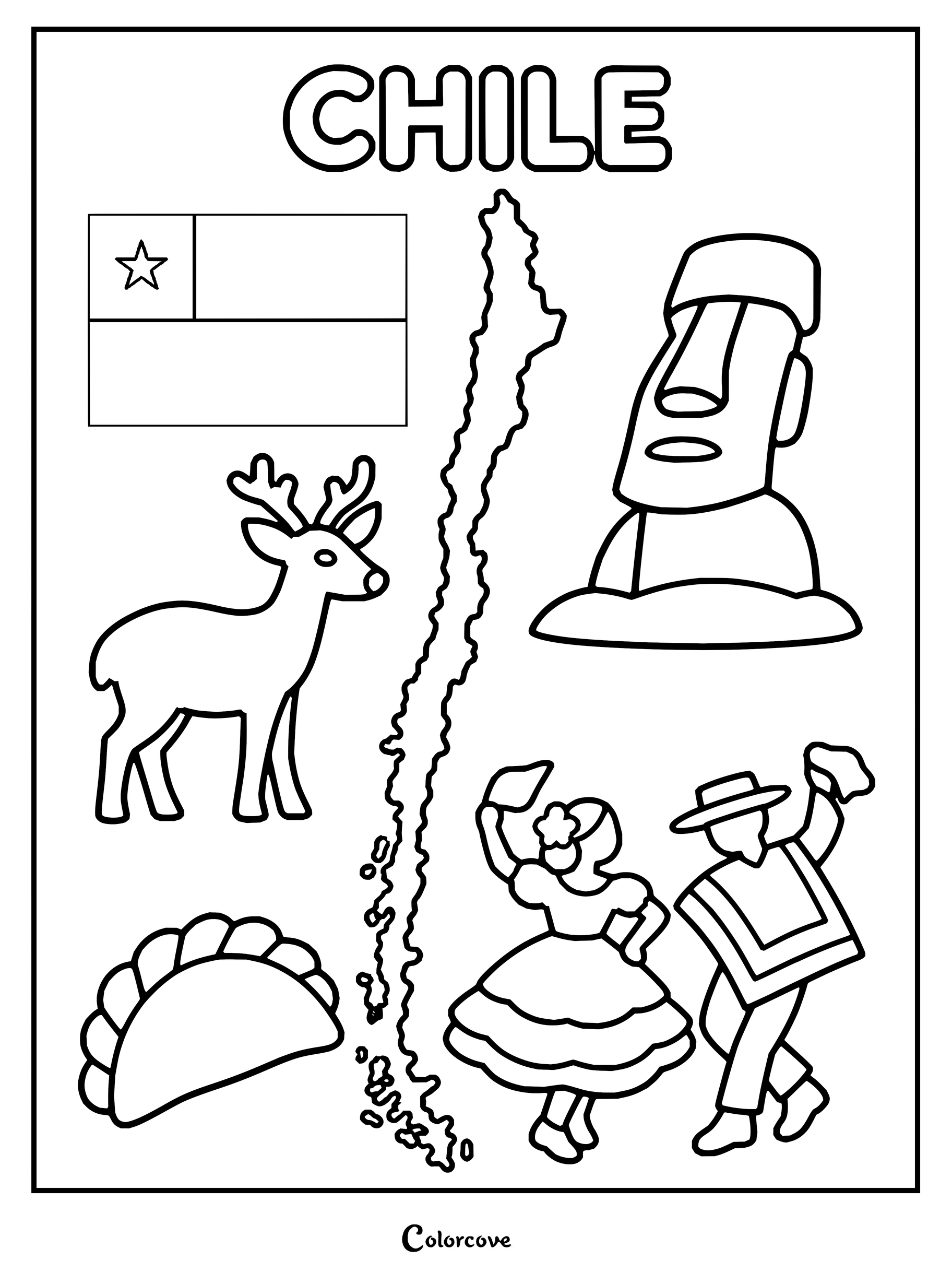
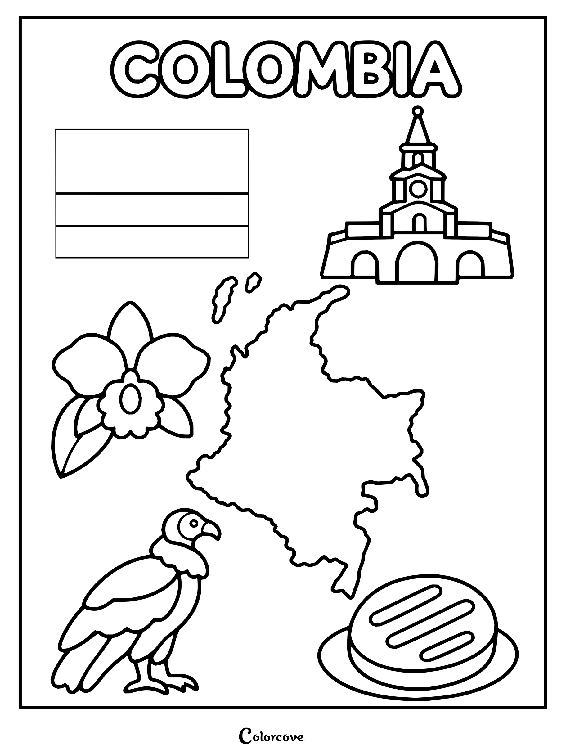
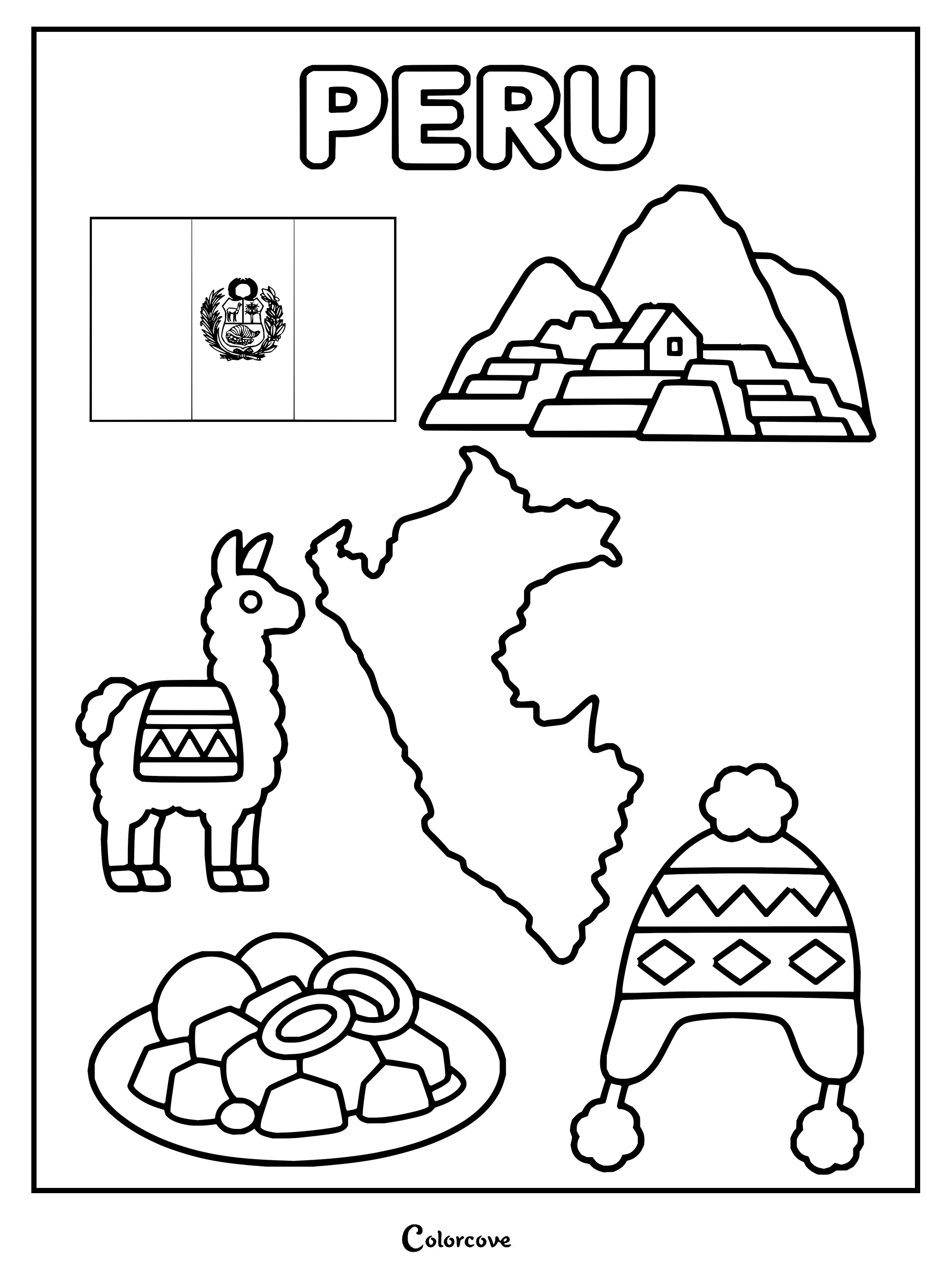
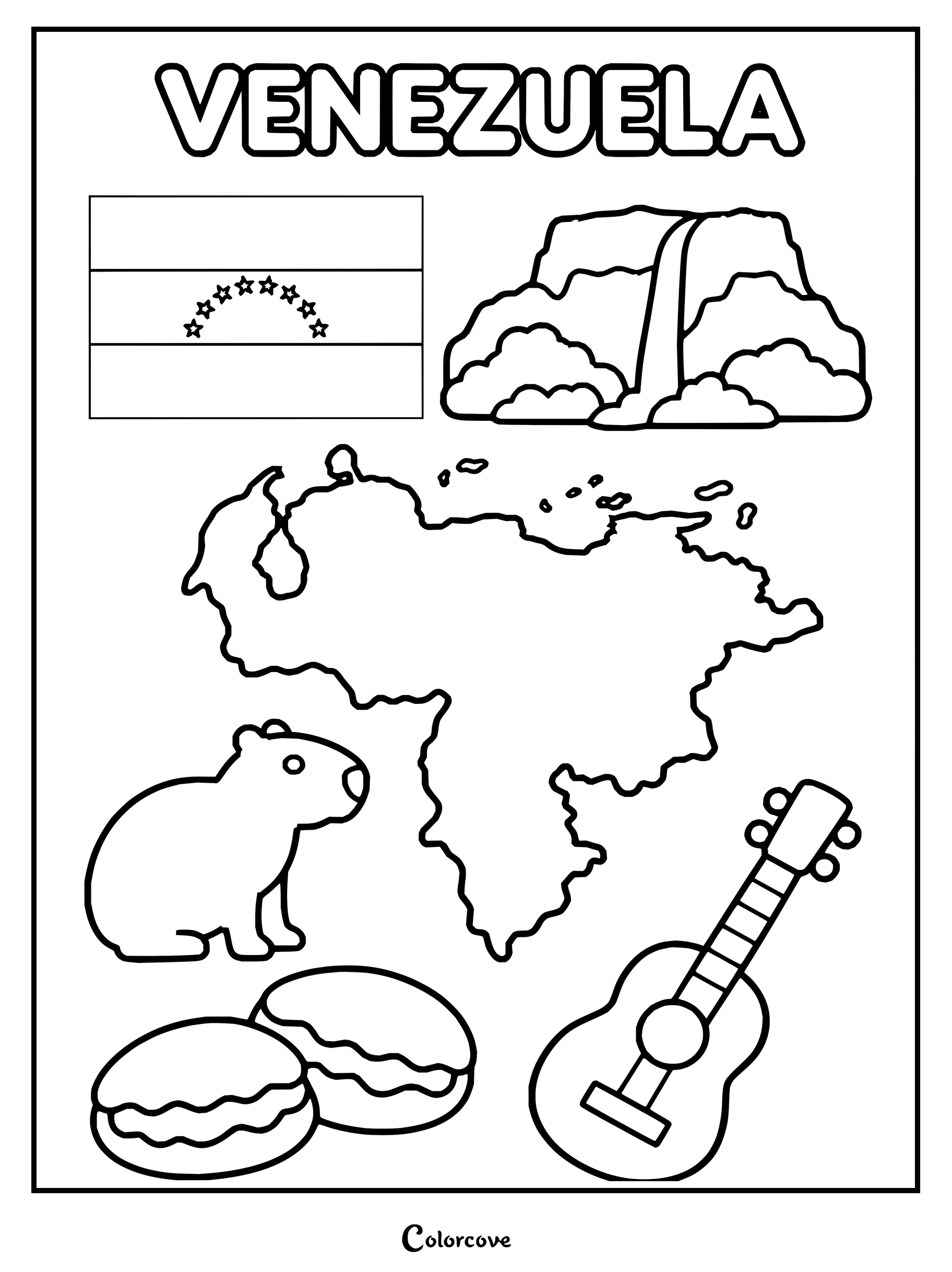
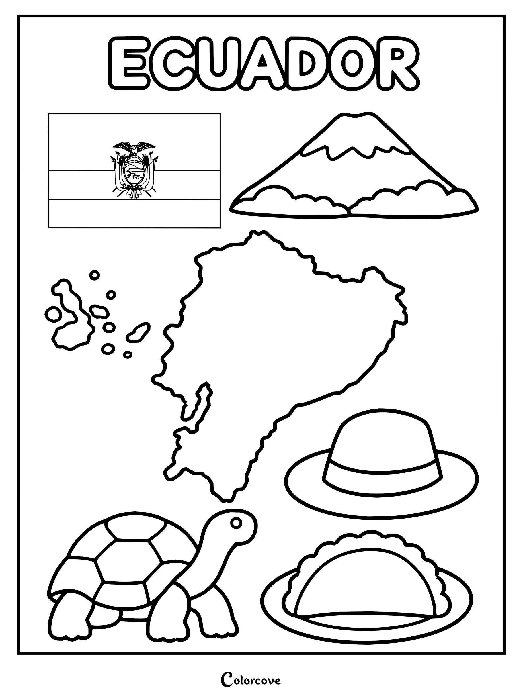
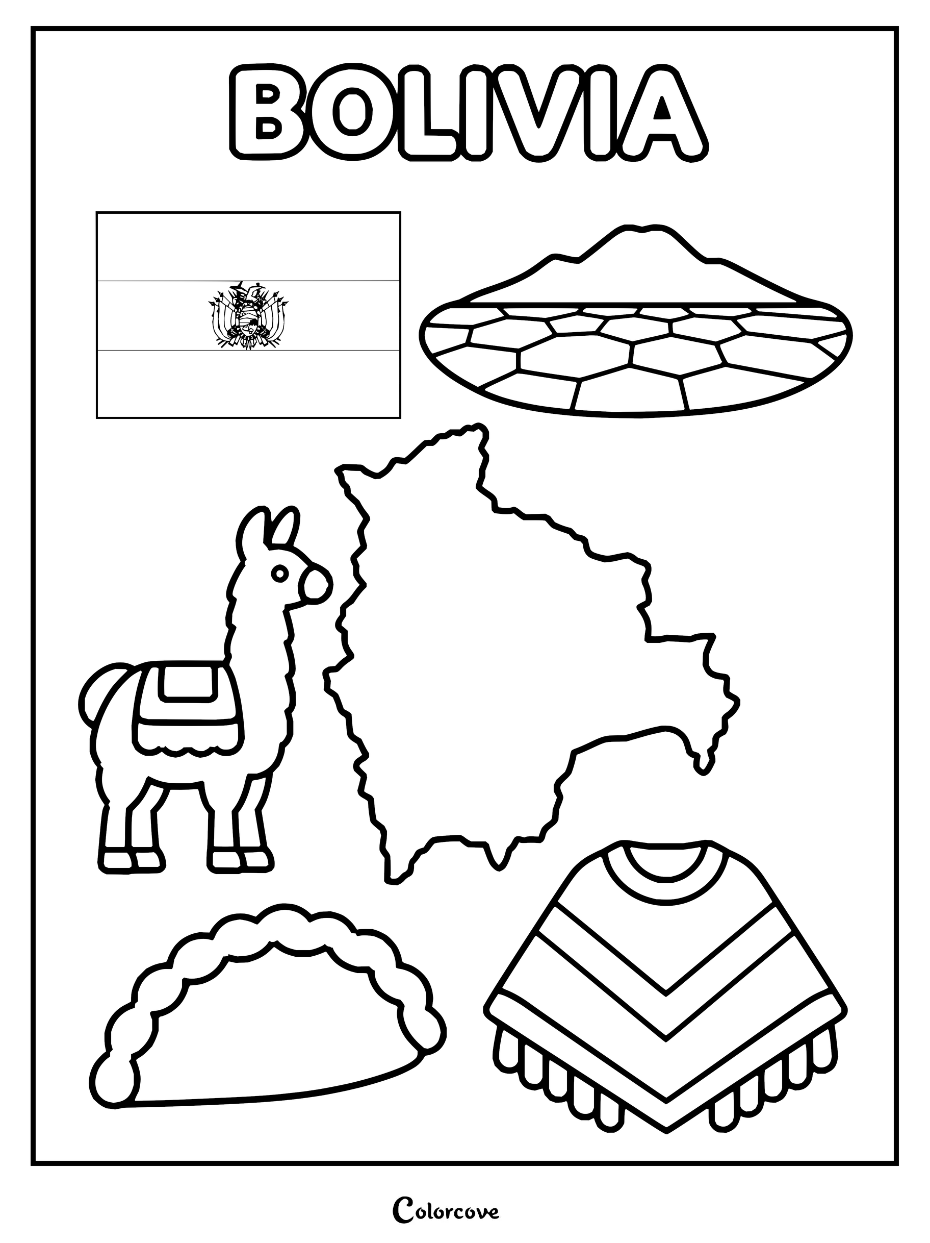
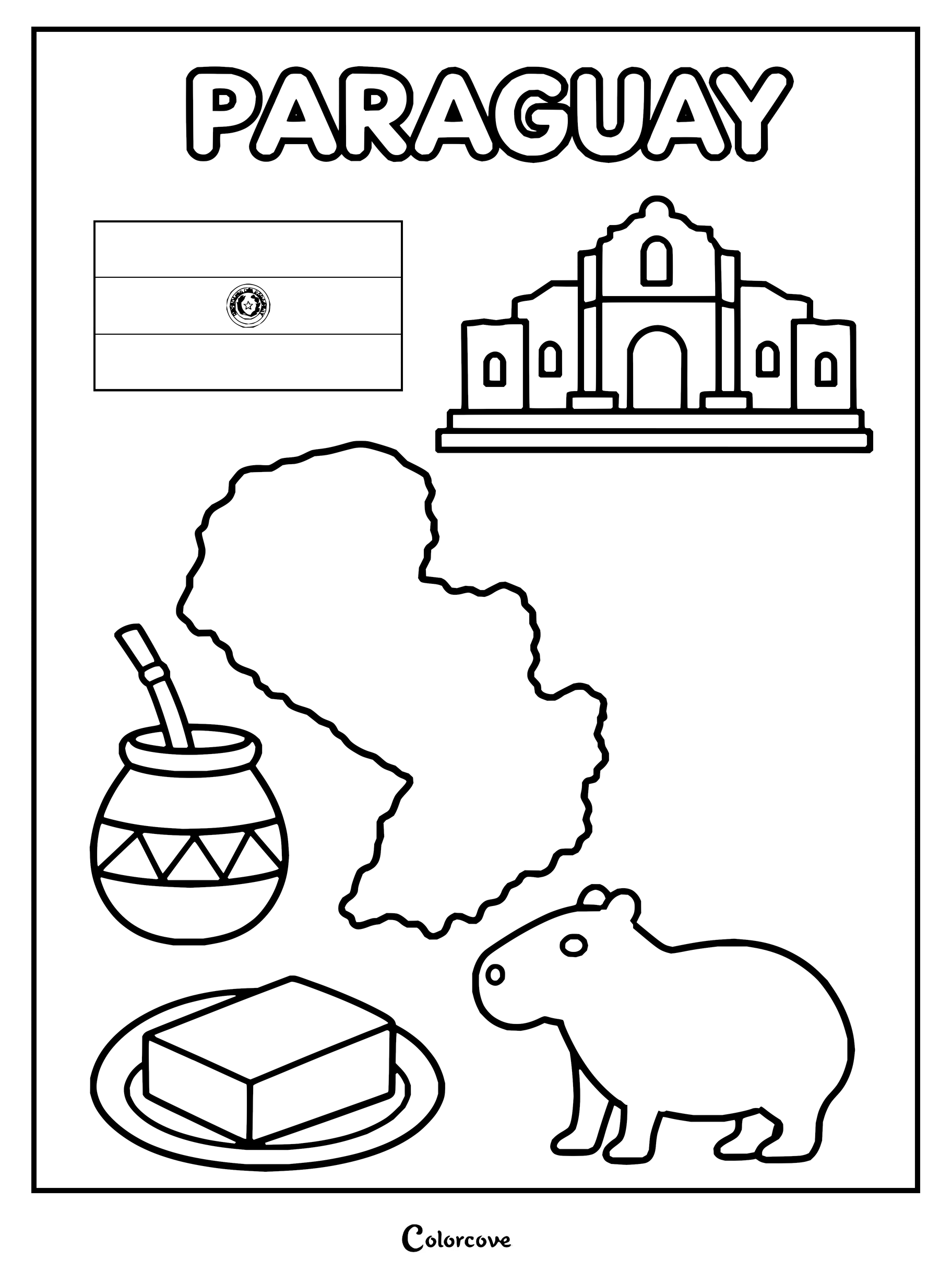
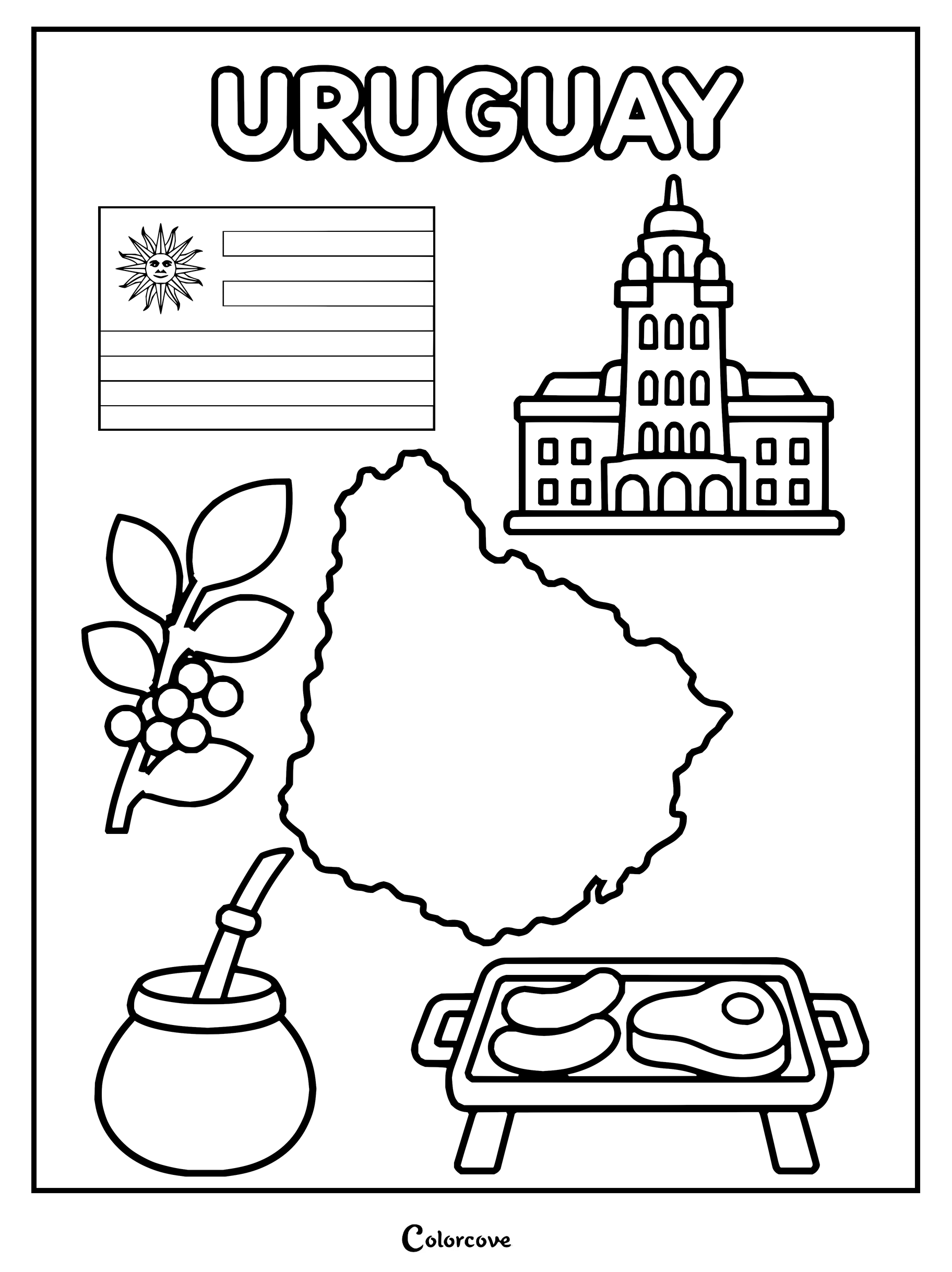
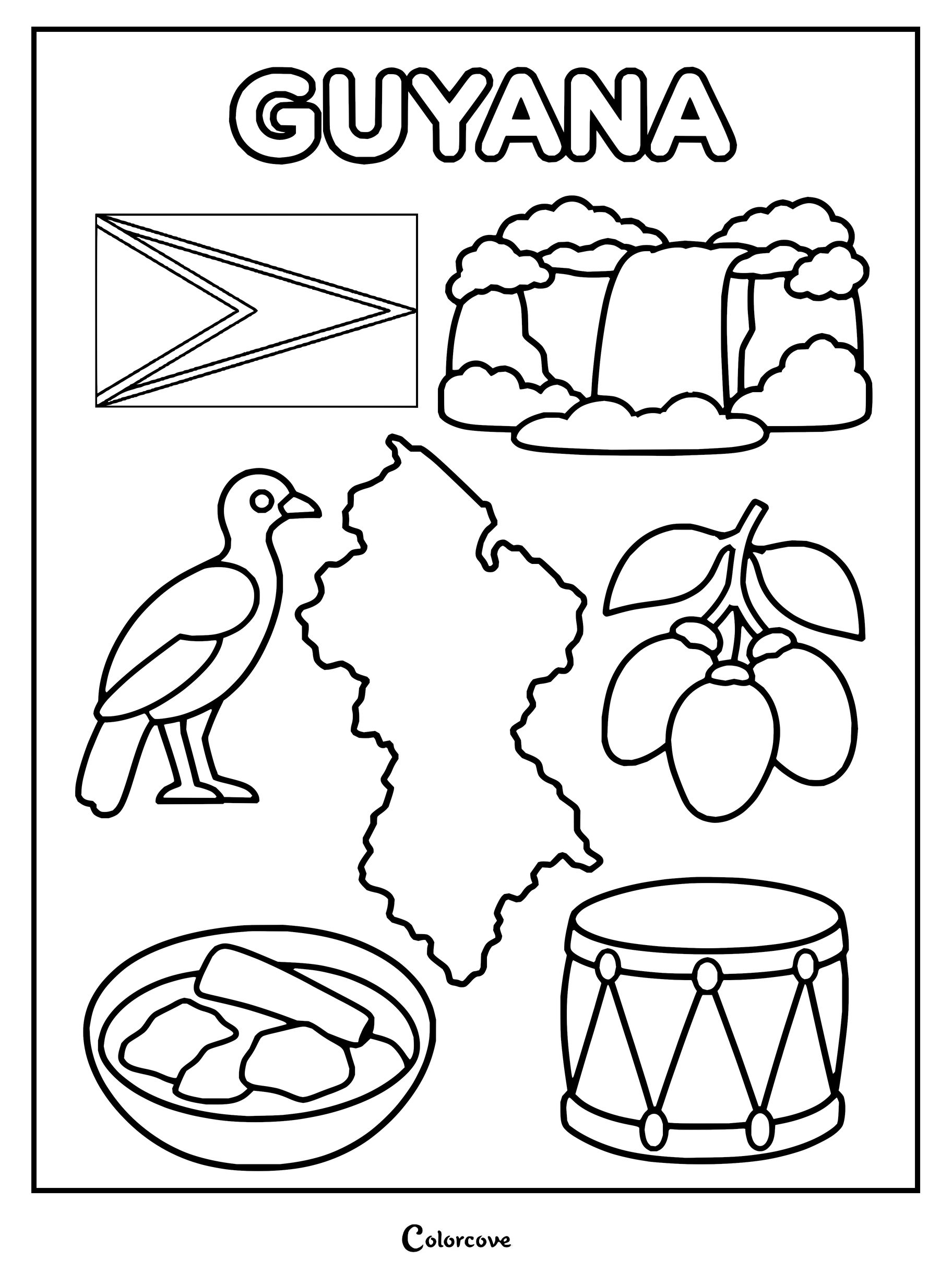
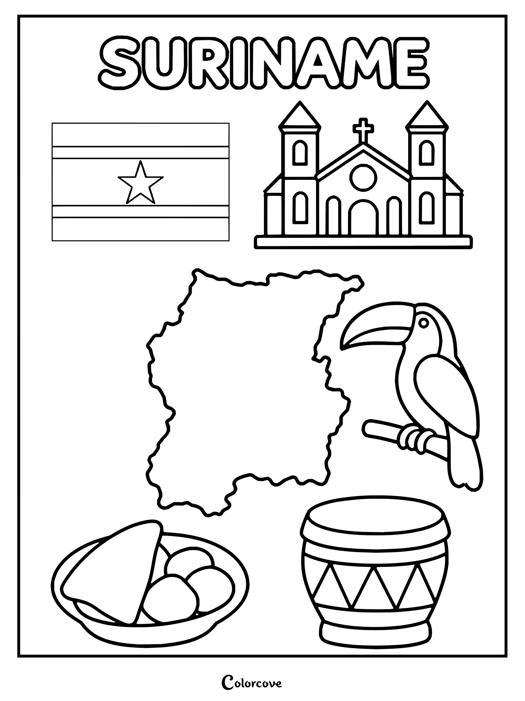
Educational coloring sheet highlighting famous Brazilian cultural symbols and landmarks.Discover Argentina with this fun coloring page featuring its iconic symbols.Chilean culture features the national flag, map, Moai statue, huaso dancers, huemul, and empanada.Colombia geography and cultural symbols coloring activity sheet.Explore Peru with landmarks, wildlife, and cultural symbols.Explore Venezuela with this fun educational coloring page featuring national symbols and landmarks.Educational coloring page featuring symbols, map, and flag of Ecuador.Explore Bolivia with this educational coloring sheet.Coloring page featuring symbols of Paraguay like the map and national flag.Learn about Uruguay with national symbols and map.Explore Guyana with national symbols including its map, flag, and bird.Coloring page showing Suriname map, flag, cathedral, toucan bird, and traditional food.
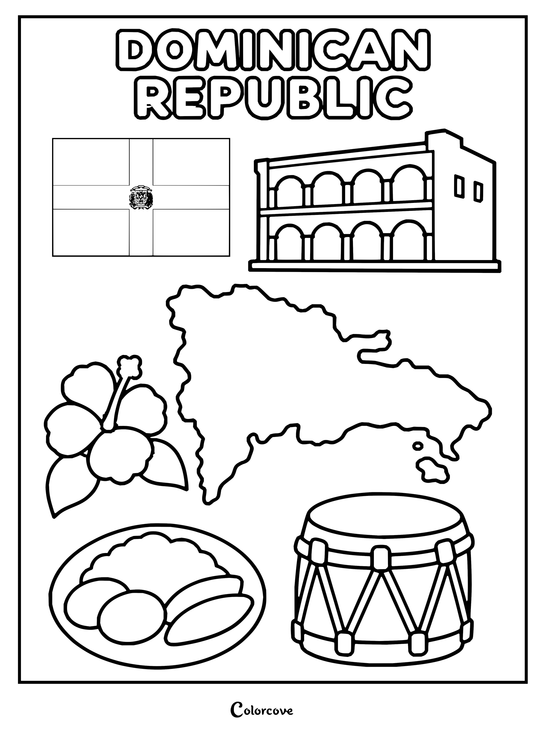
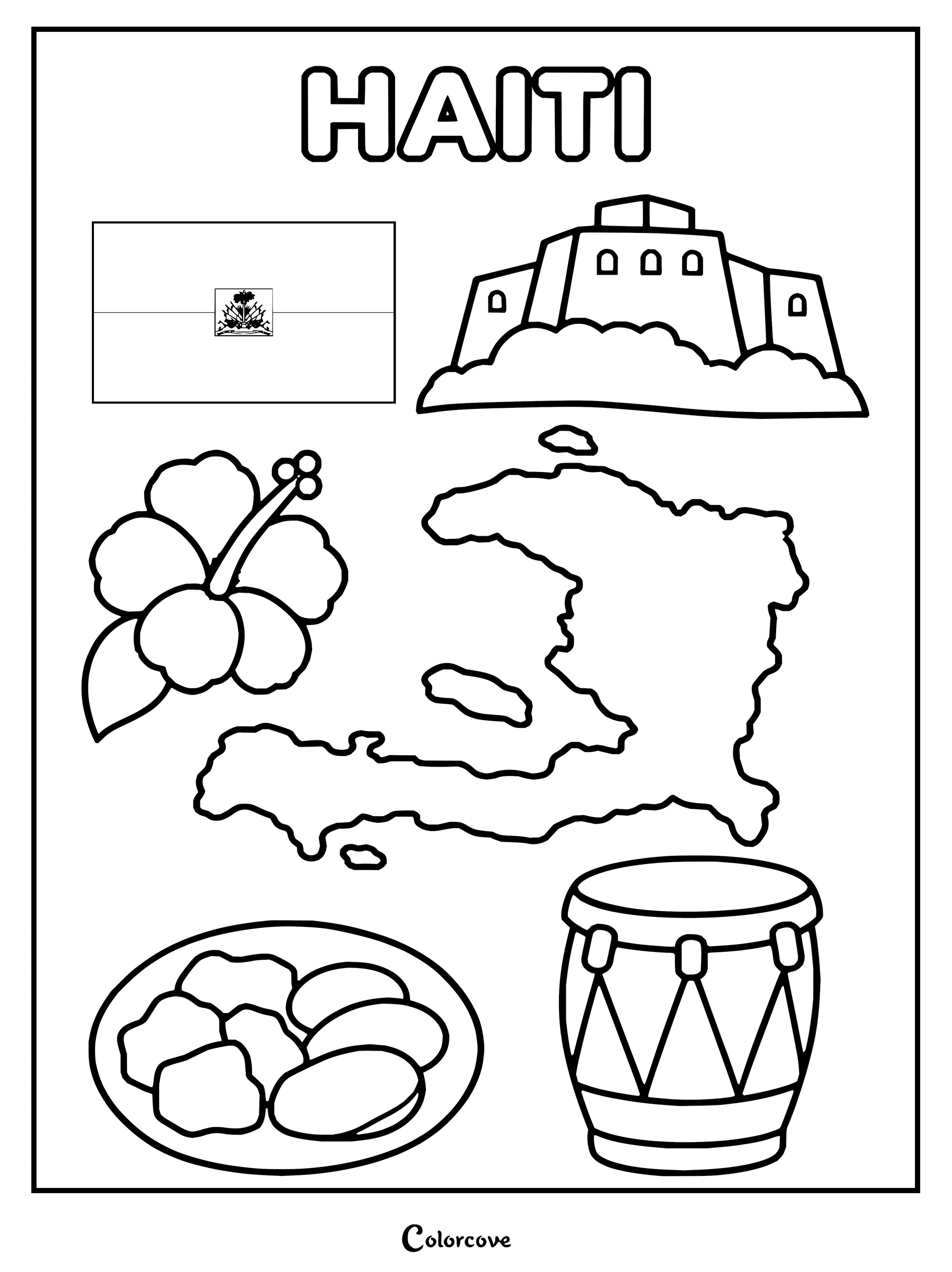
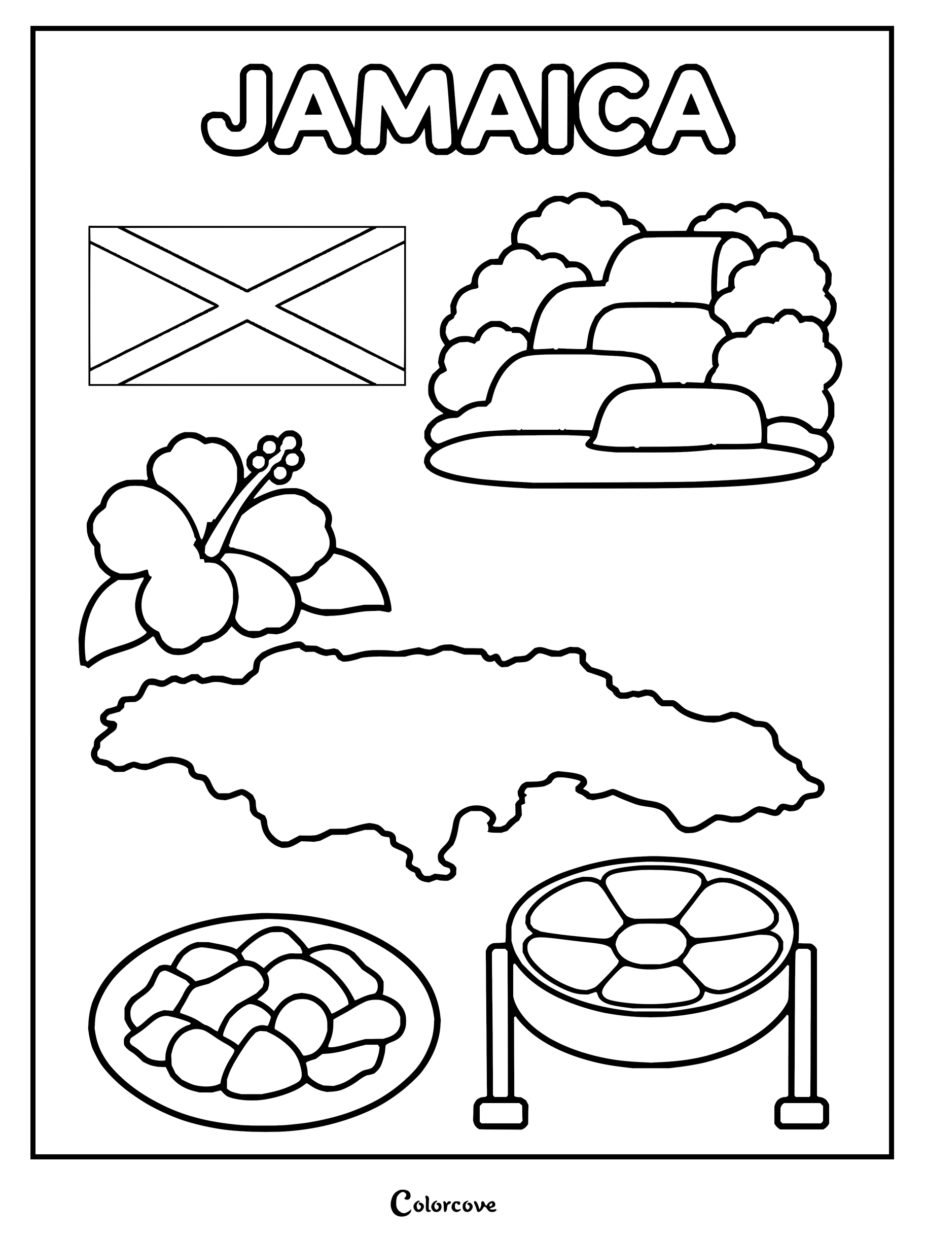
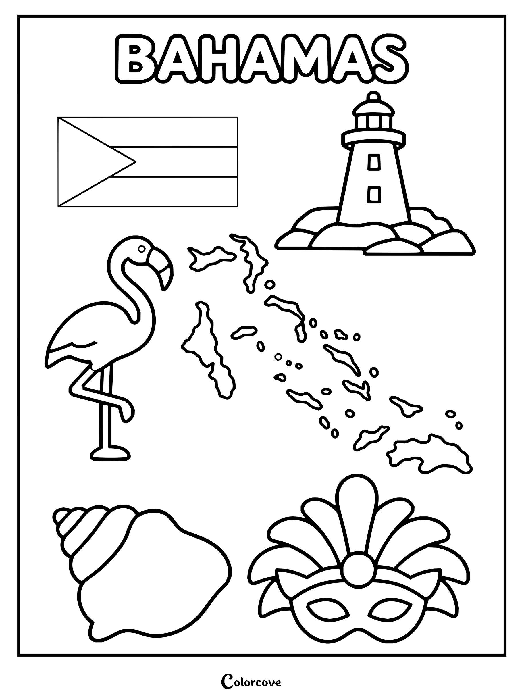
Celebrate the sun-drenched archipelagos and tropical heritage found across the turquoise Caribbean Sea. Pair these island designs with our Free Printable Flag Coloring Pages to master each sovereign territory while enjoying your creative coloring session.
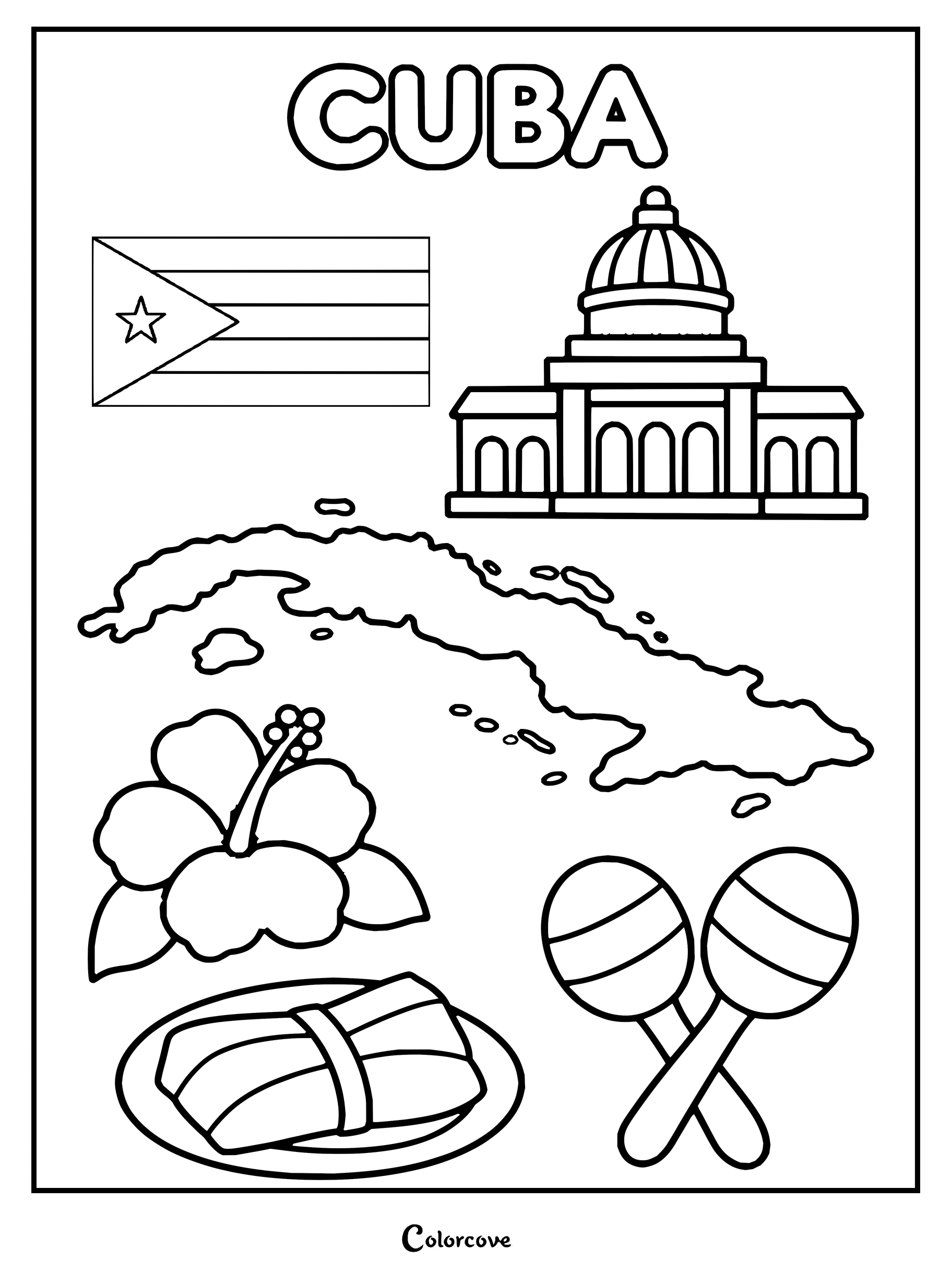
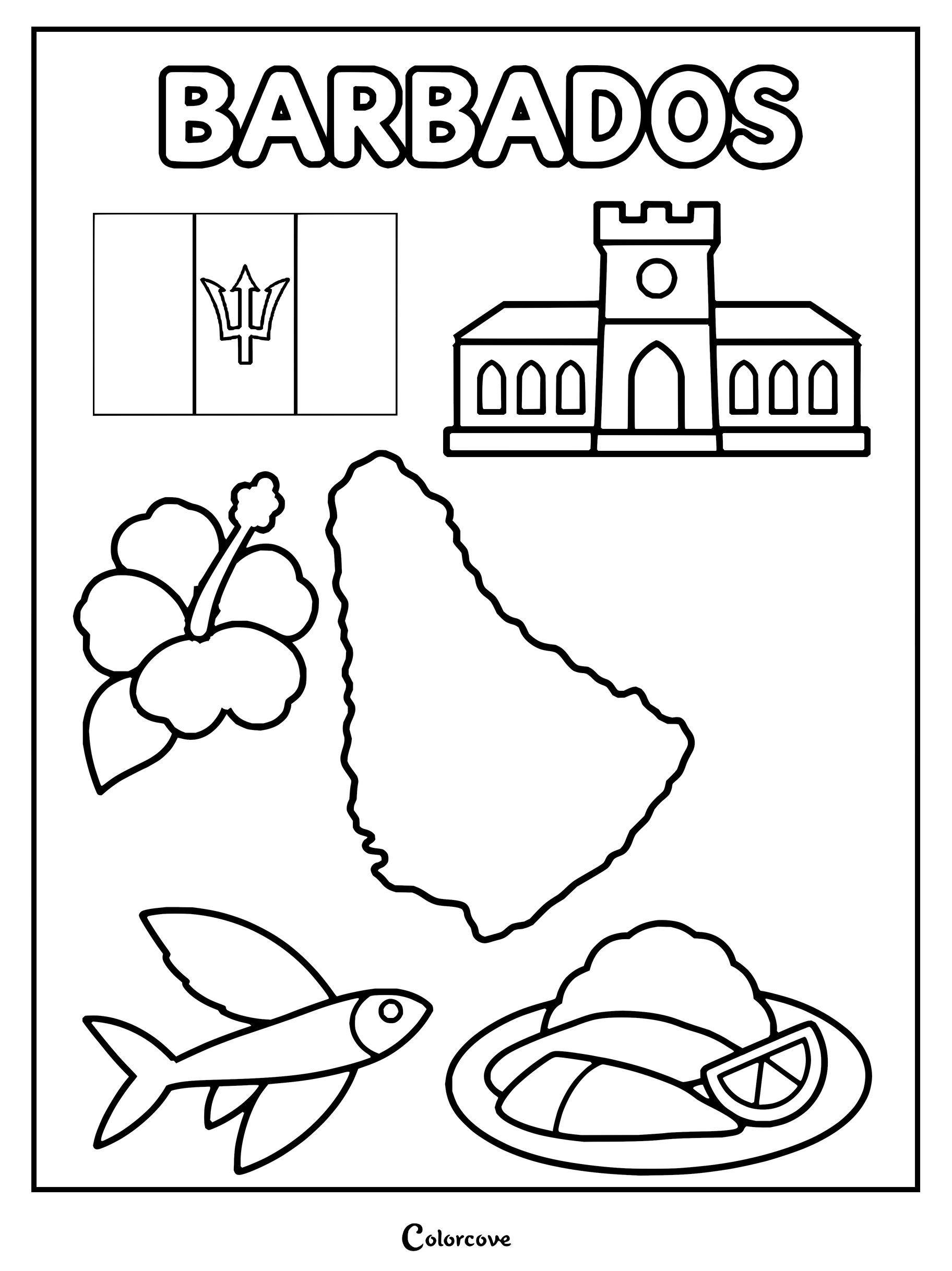
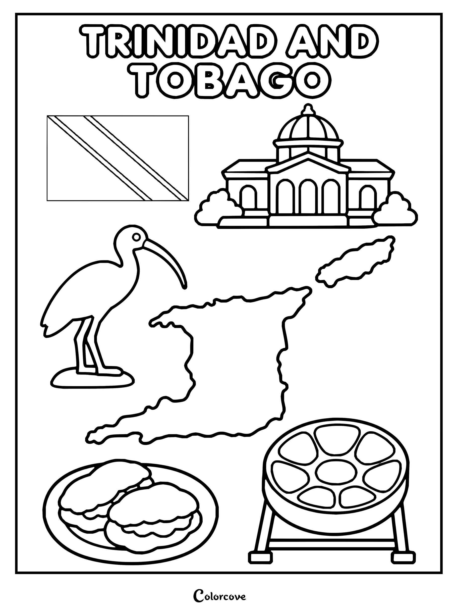
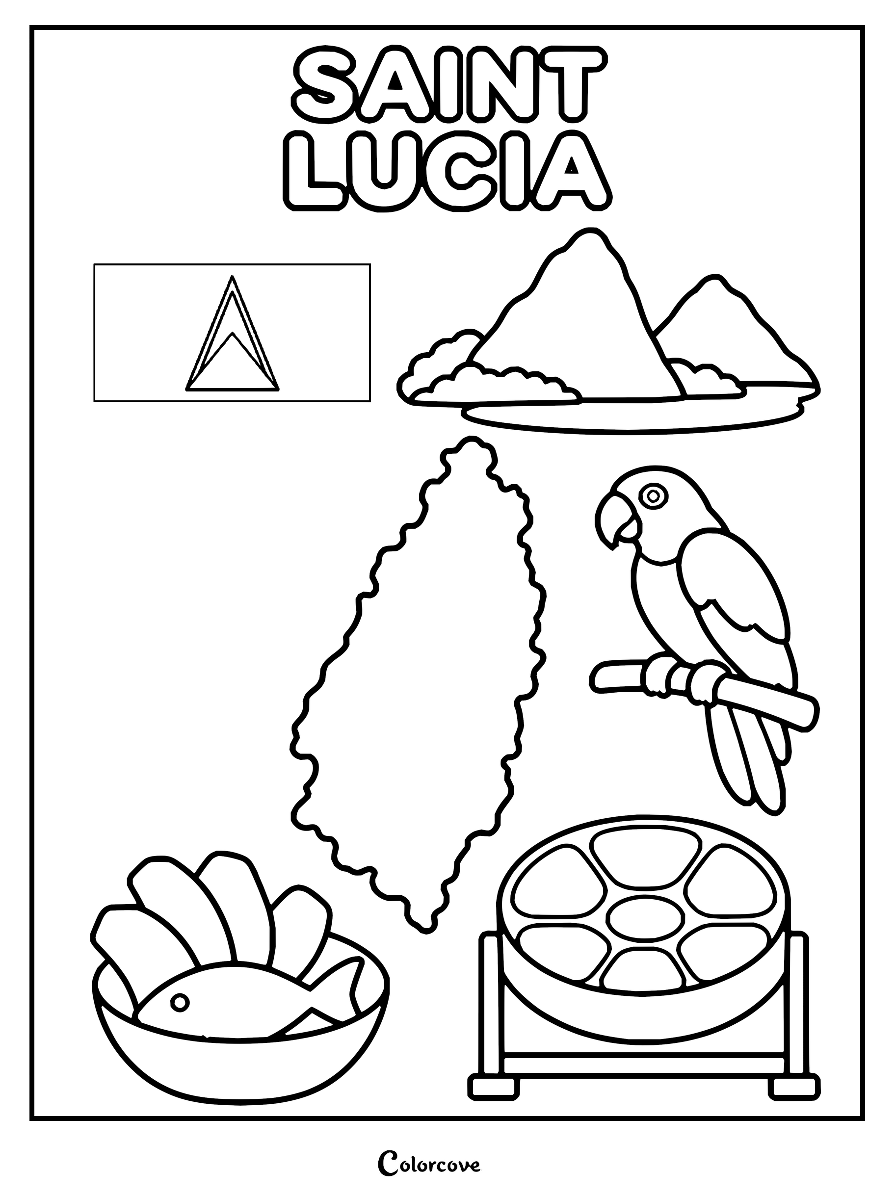
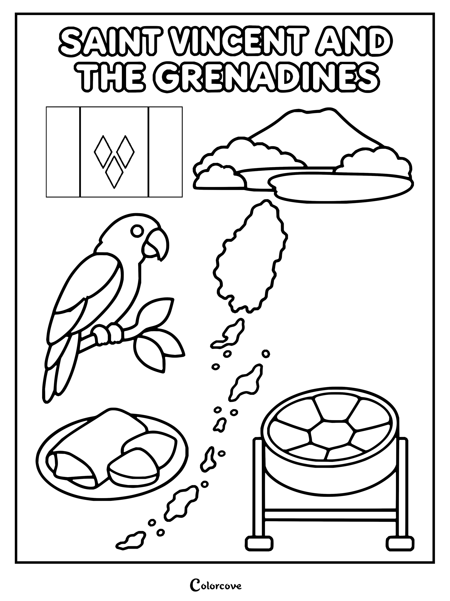
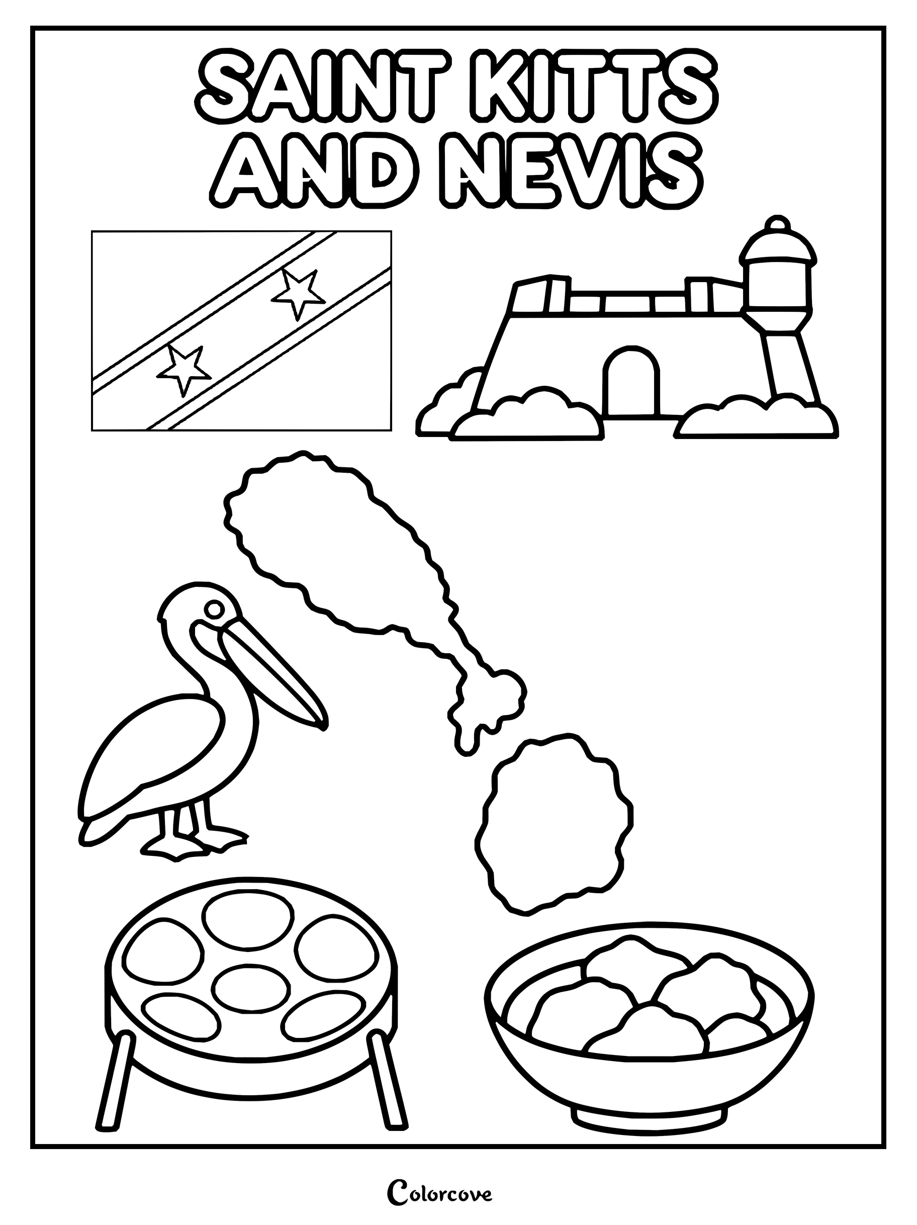
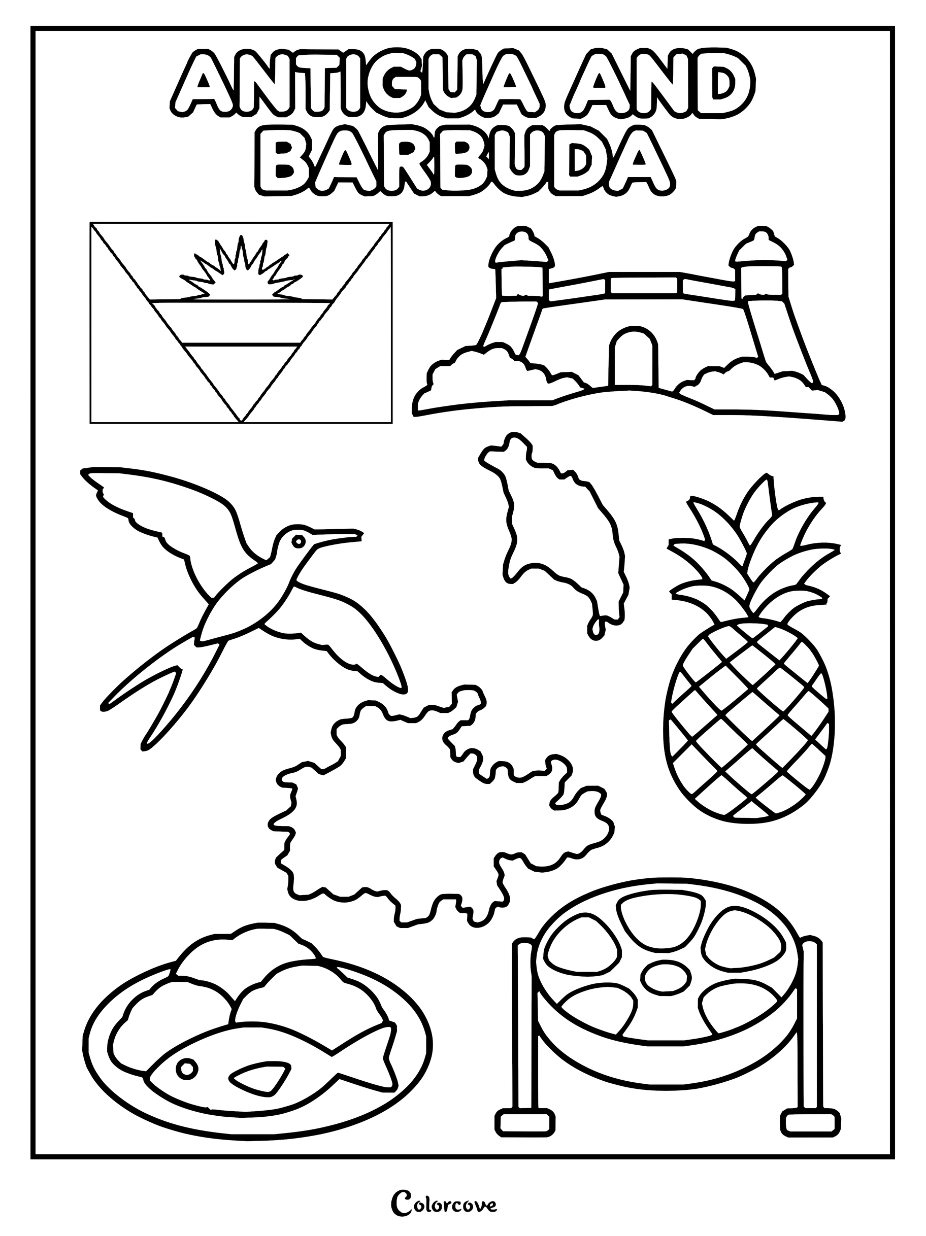
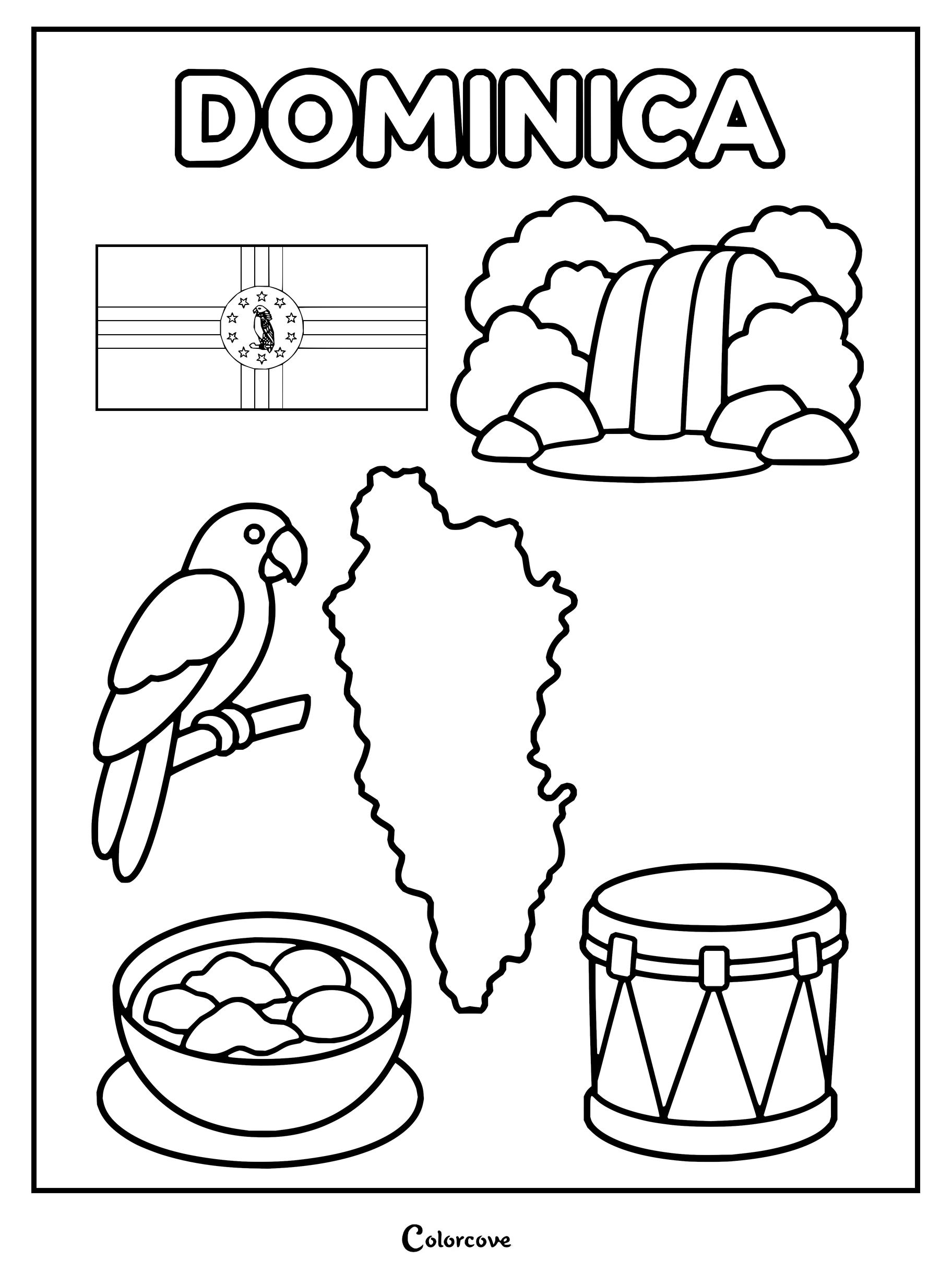
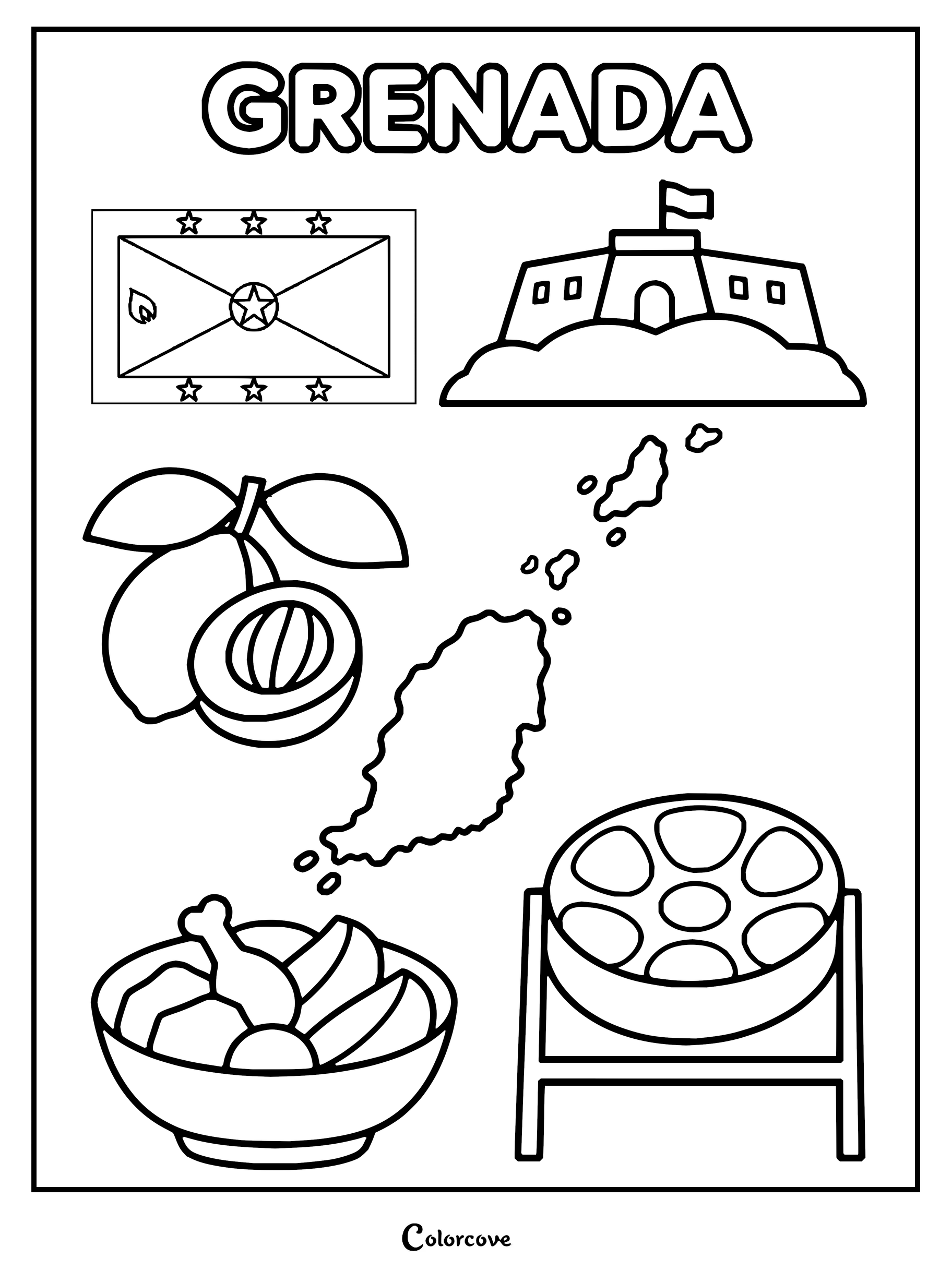
Explore Cuban culture with this detailed coloring page of national symbols.Explore Dominican Republic culture with national symbols.Coloring page featuring the map, flag, and national symbols of Haiti.Discover Jamaican culture with this iconic country symbols coloring page.Explore the islands of the Bahamas with this fun coloring page.Explore the culture of Barbados with its flag, map, and national symbols.Explore the culture of Trinidad and Tobago with this detailed patriotic coloring page.Explore the culture of Saint Lucia with this detailed coloring page.Coloring page showing symbols of Saint Vincent and the Grenadines.Explore the culture of Saint Kitts and Nevis with this educational printable coloring page.Discover Antigua and Barbuda with this educational cultural coloring page.Explore Dominica with this fun coloring page featuring its national symbols.Explore Grenada with its flag, map, and cultural symbols.
Western Europe
Explore grand architectural legacies, rolling countryside, and celebrated river valleys that shape iconic European nations. Each detailed coloring page captures historic borders and national landmarks waiting for soft graphite shading and vibrant ink.
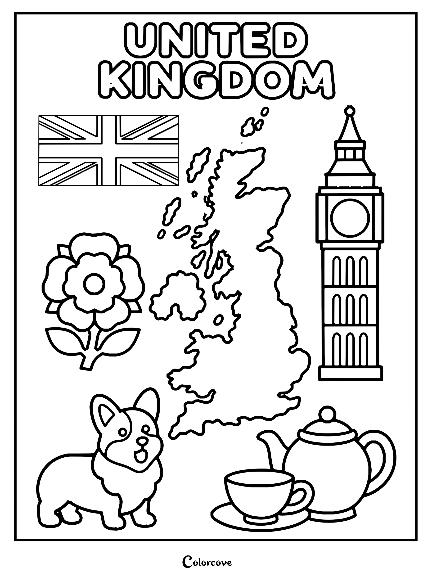
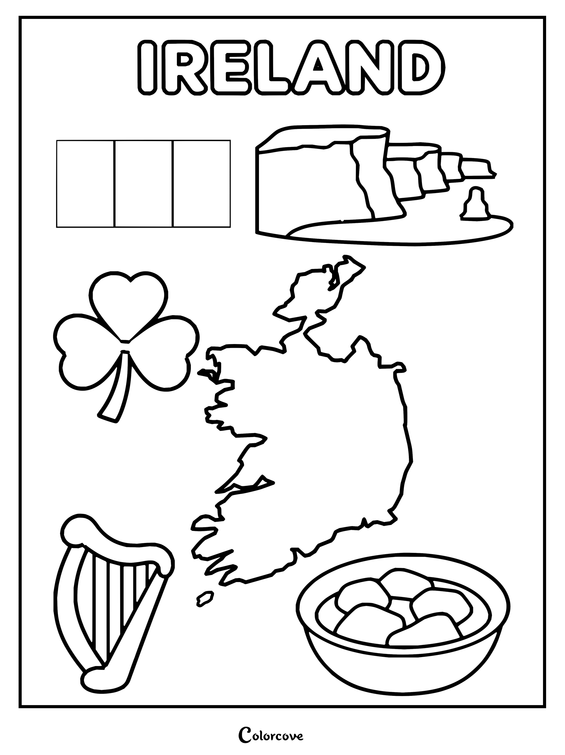
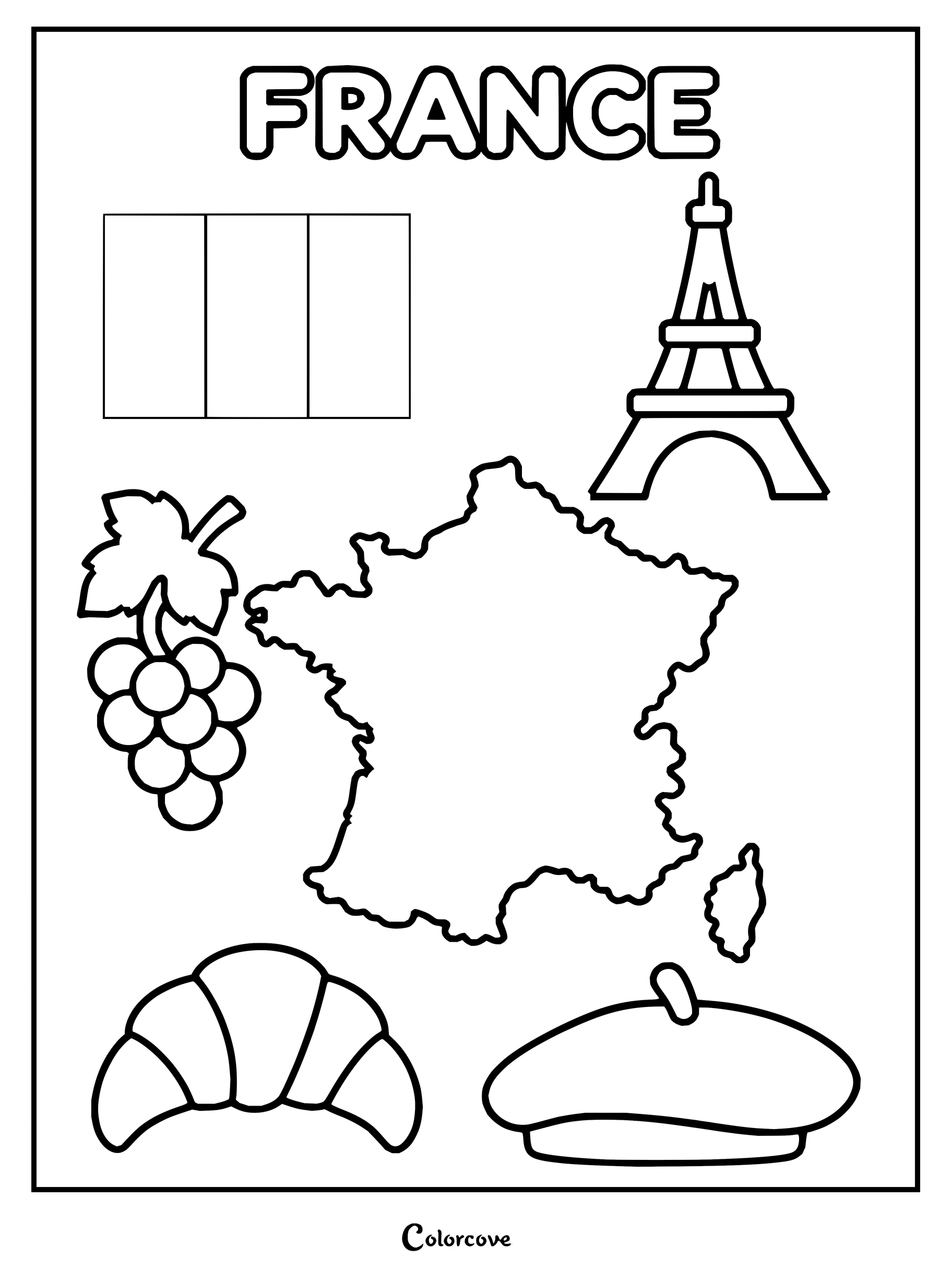
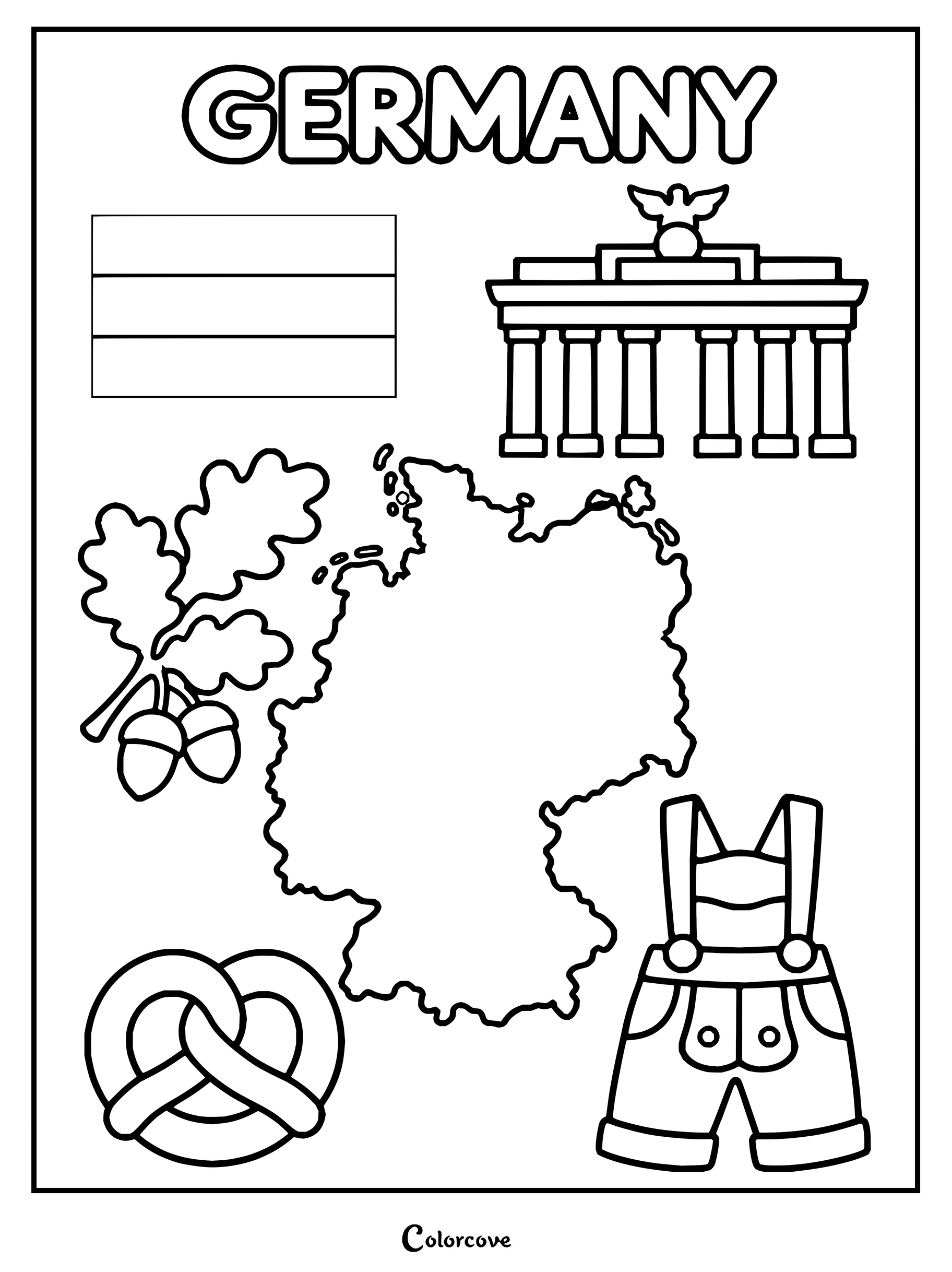
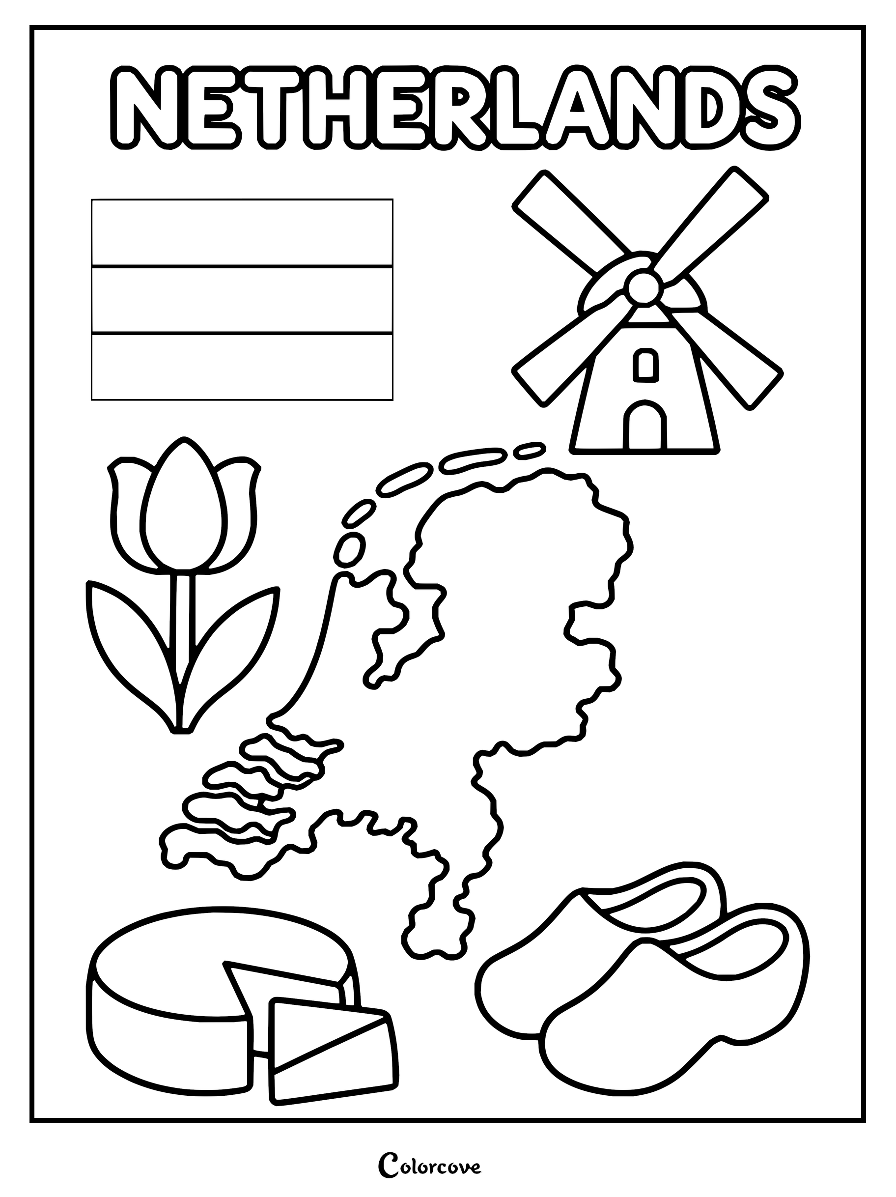
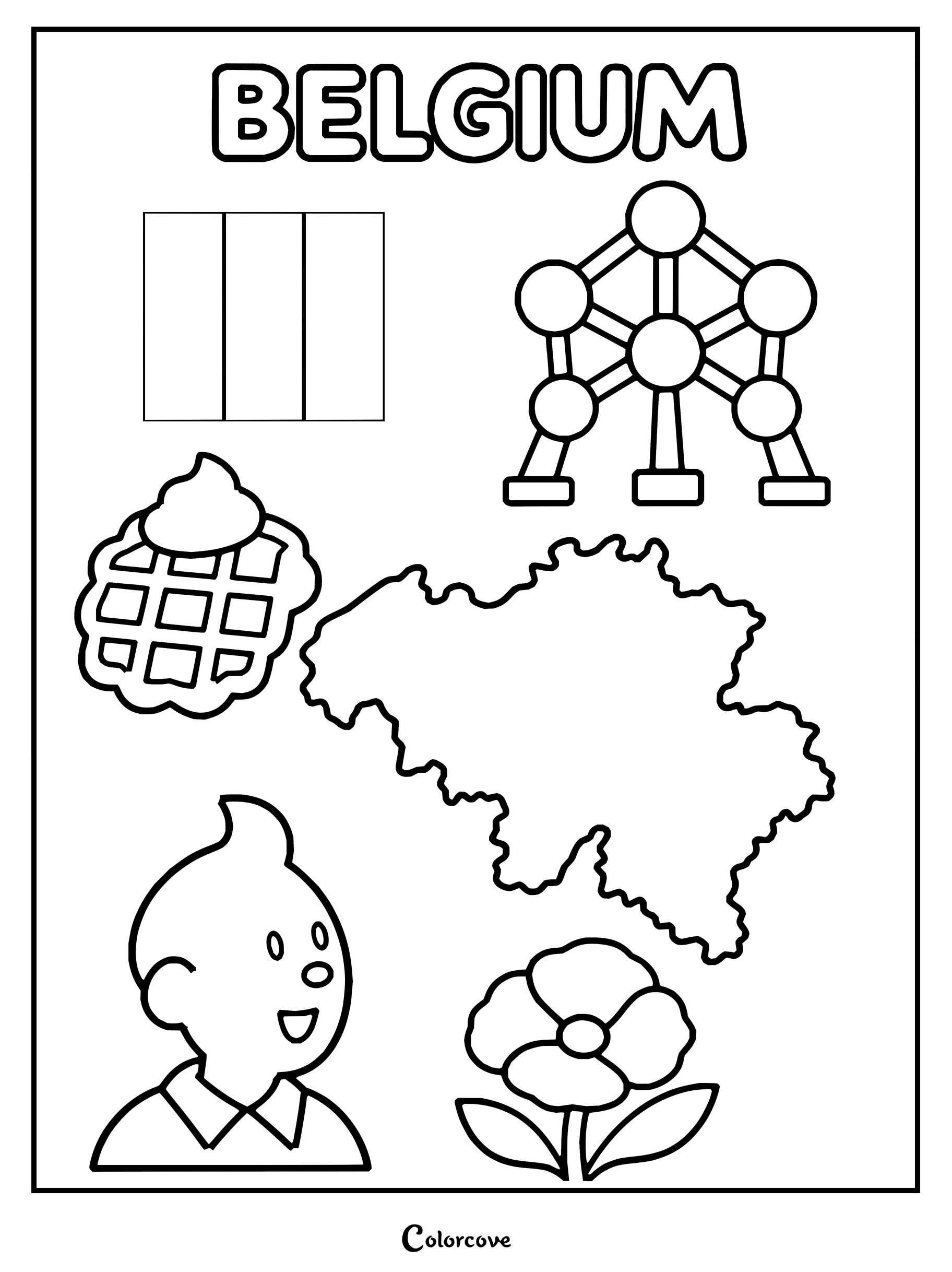
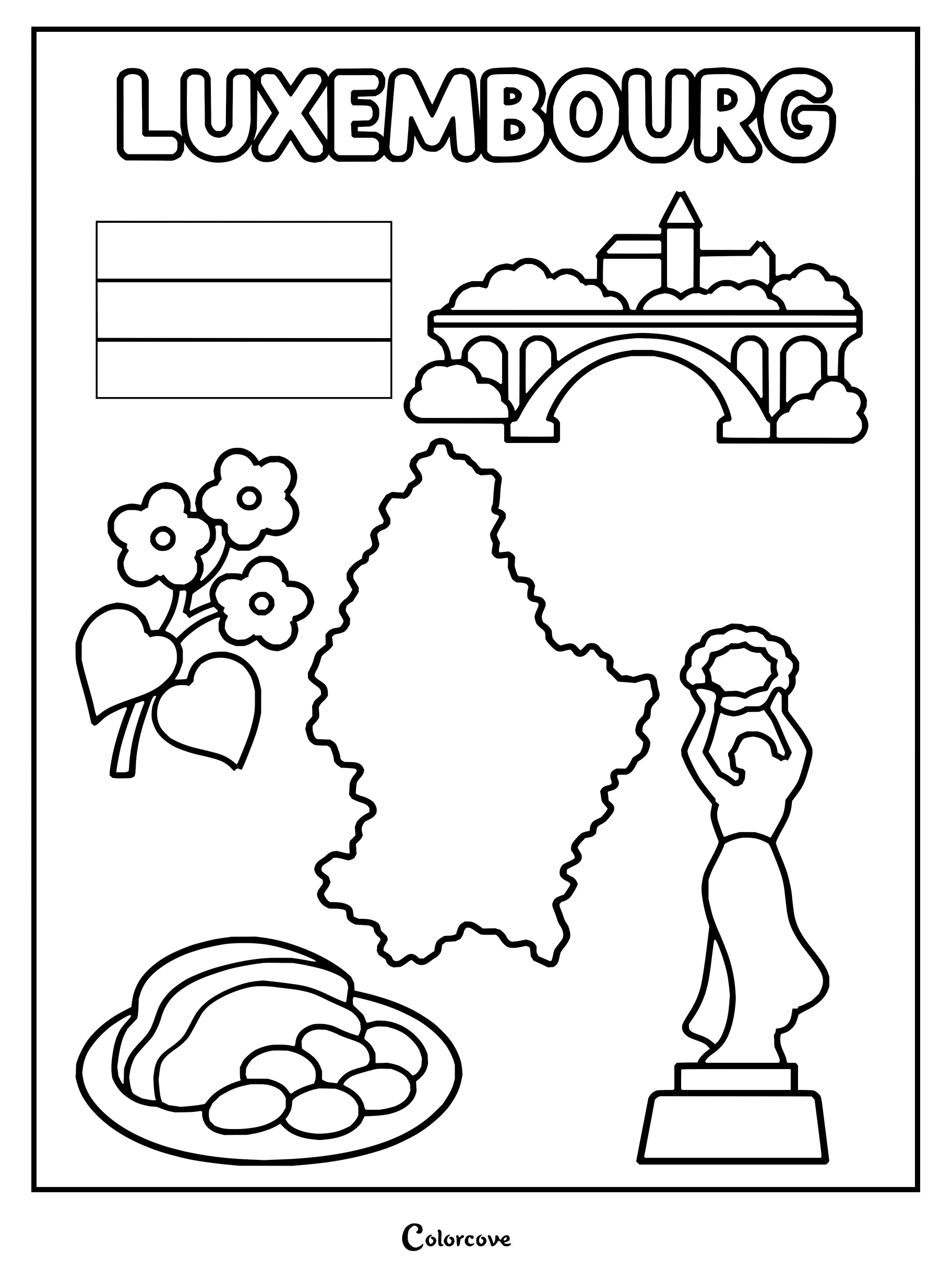
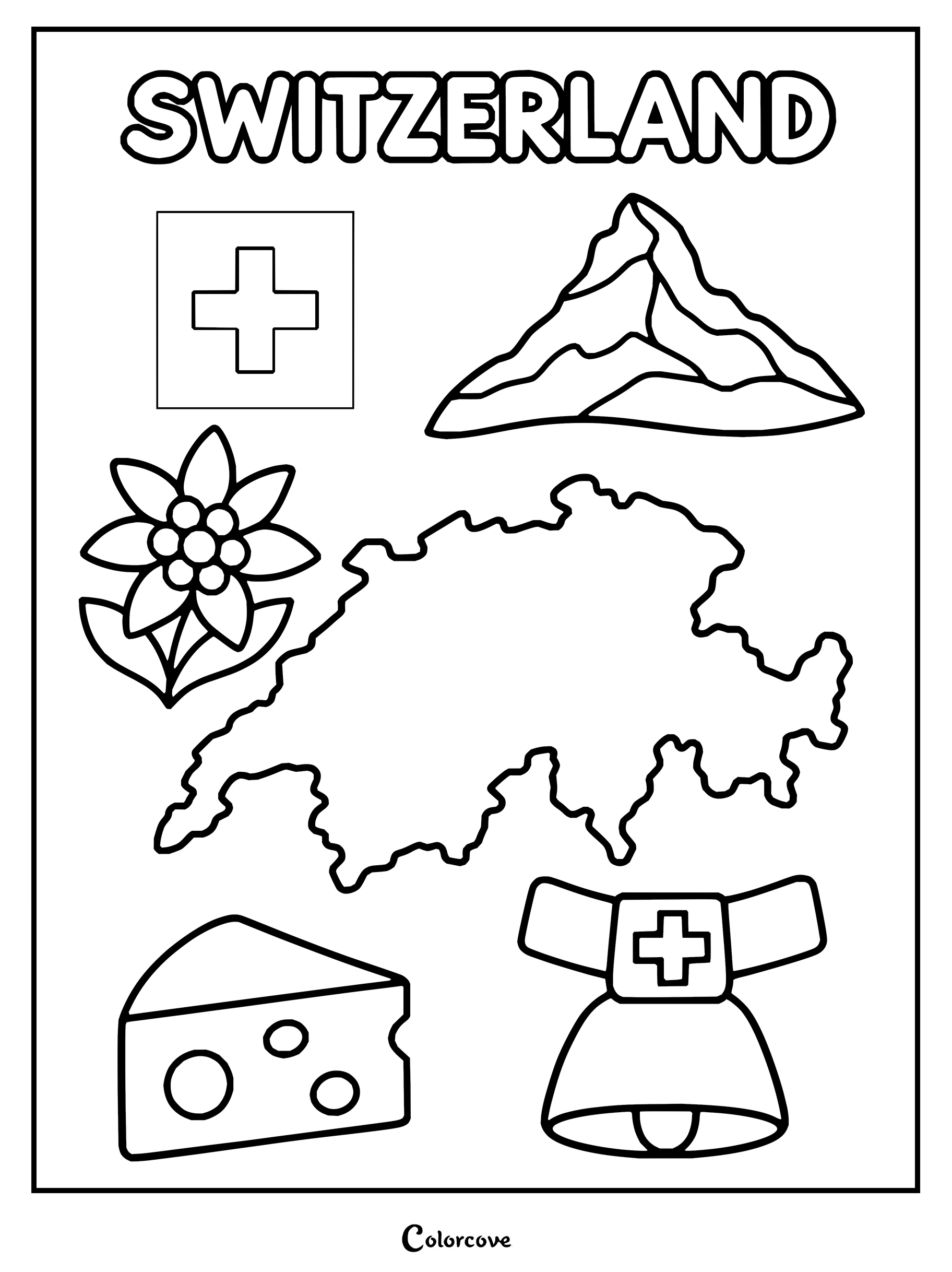
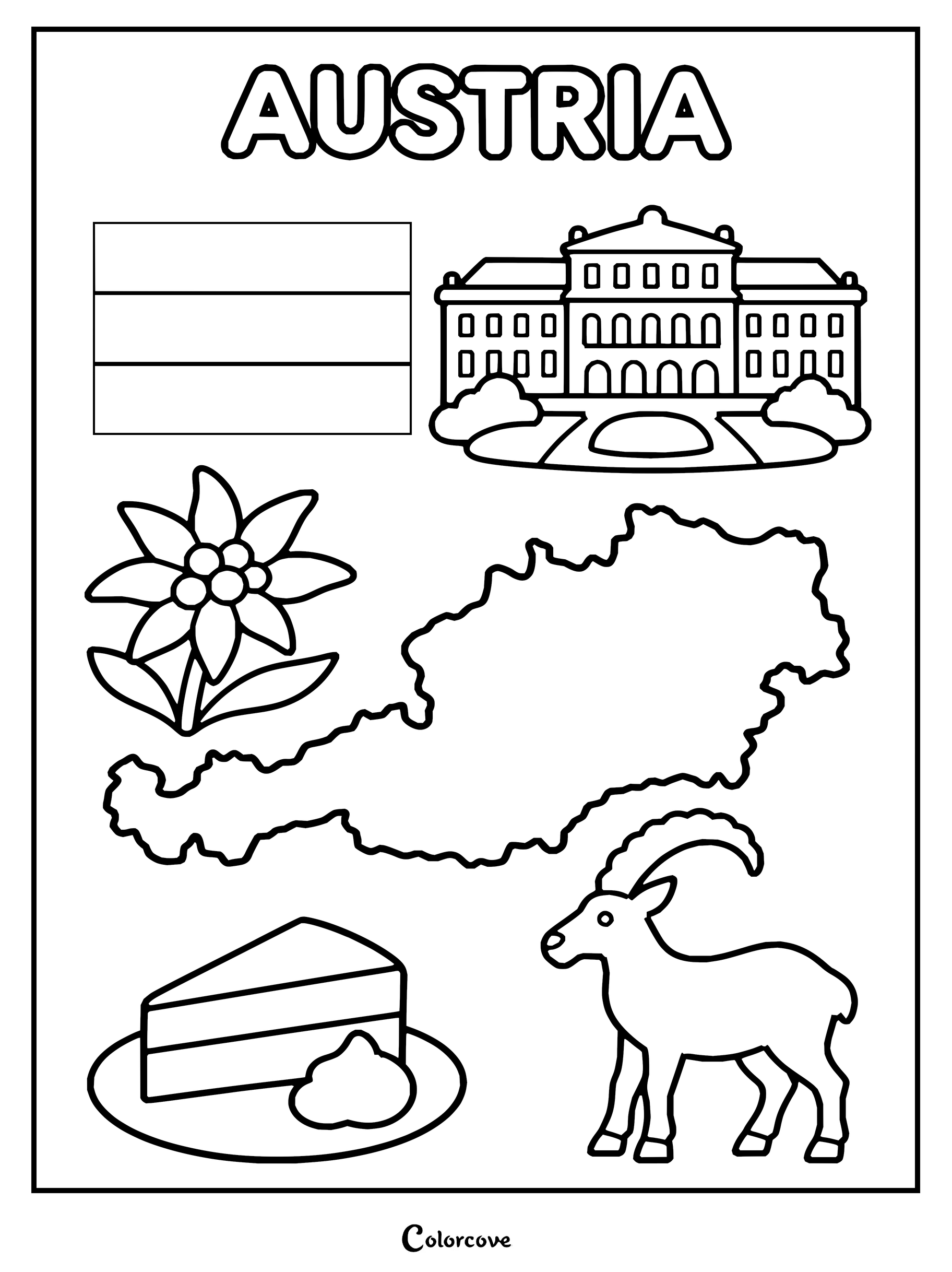
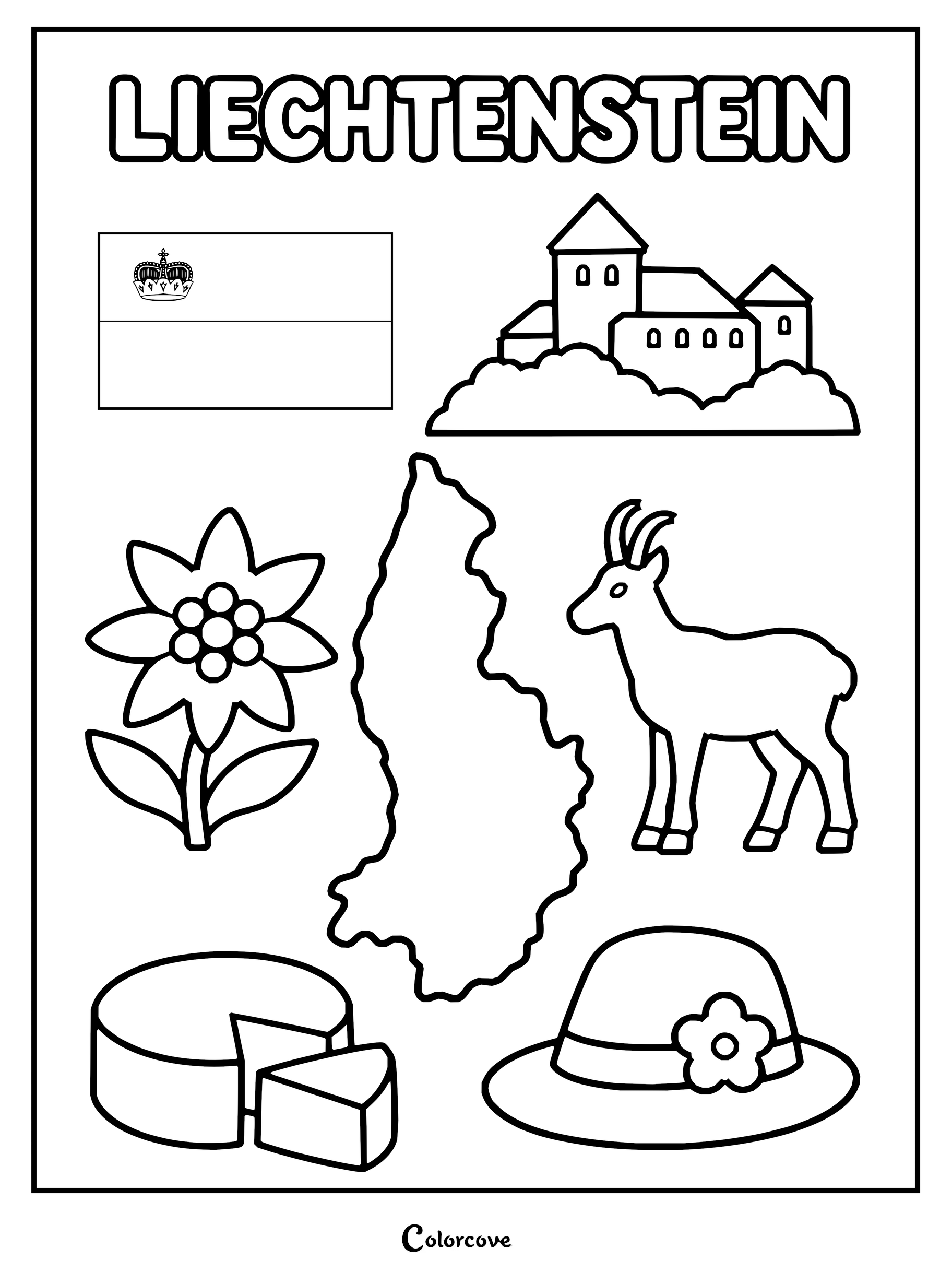
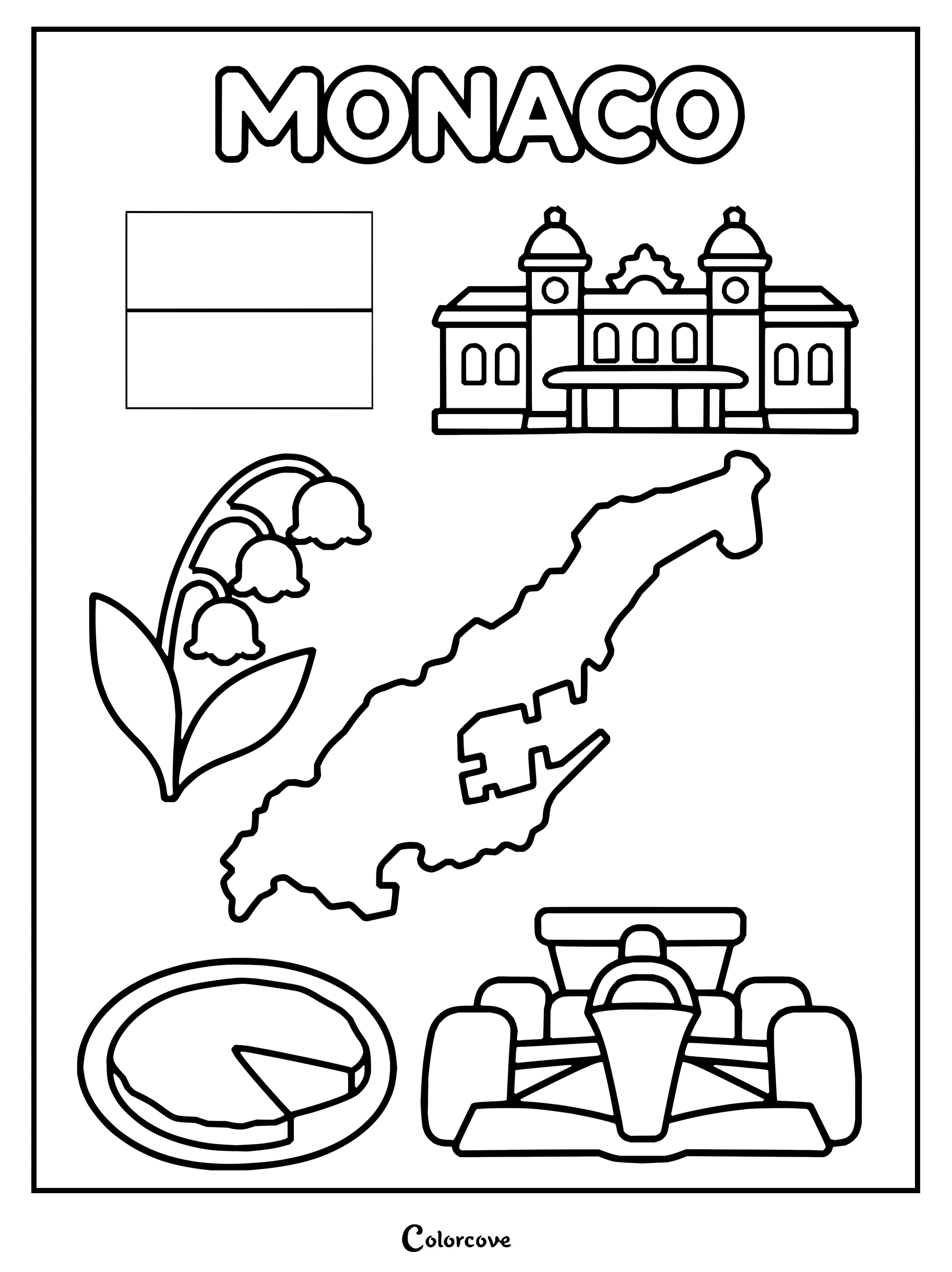
Explore iconic British symbols and landmarks in this fun UK coloring sheet.Explore Ireland with this printable coloring sheet featuring famous cultural symbols.Discover iconic French symbols including the Eiffel Tower and croissants.Color iconic symbols of Germany, including its flag, map, and famous landmarks.Explore iconic Dutch symbols in this Netherlands coloring page.Coloring page highlighting famous symbols and landmarks of Belgium.Explore Luxembourg with this educational geography coloring page.Explore Switzerland with symbols of flags, mountains, flowers, and cheese.Educational coloring sheet showcasing cultural icons, map, and flag of Austria.Explore Liechtenstein with this detailed educational coloring page.Monaco coloring page featuring famous symbols and landmarks.
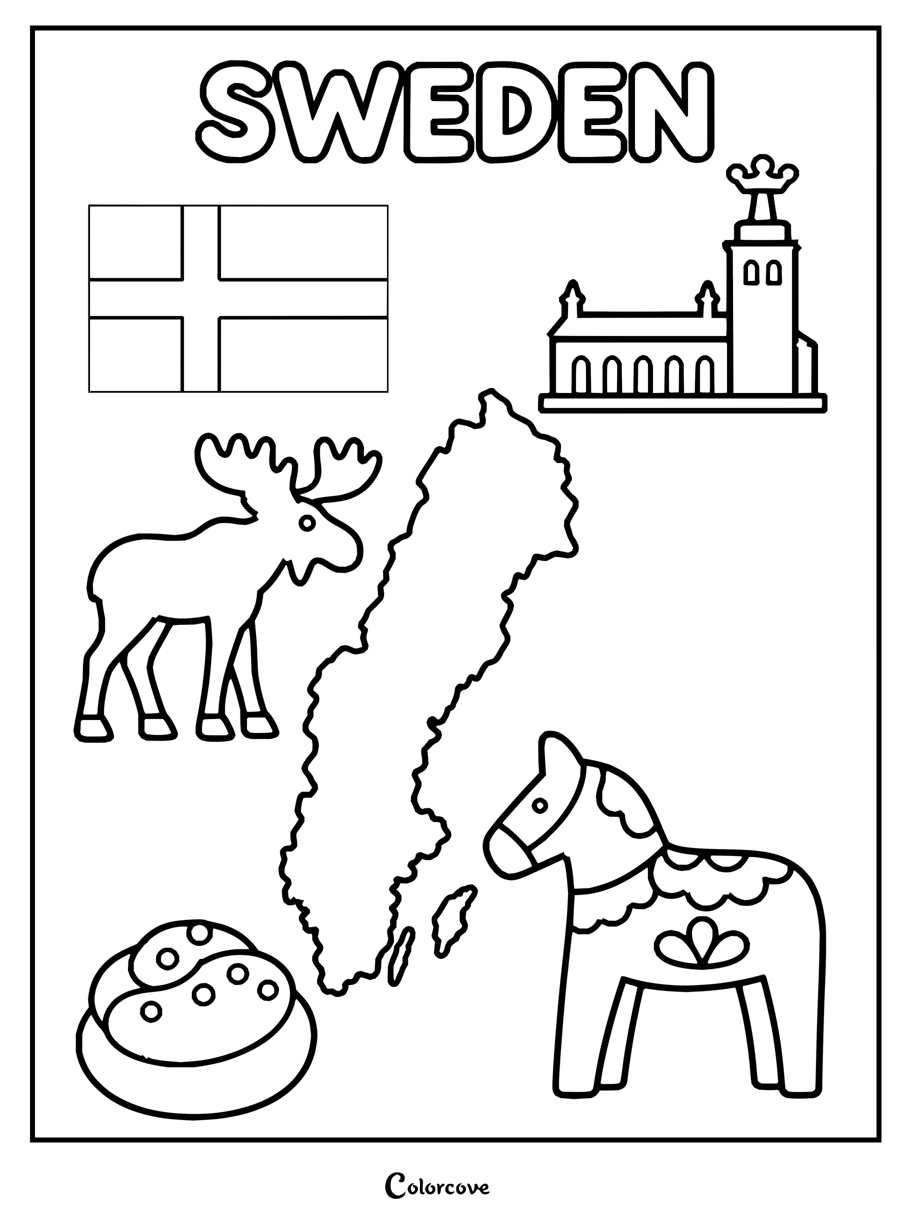
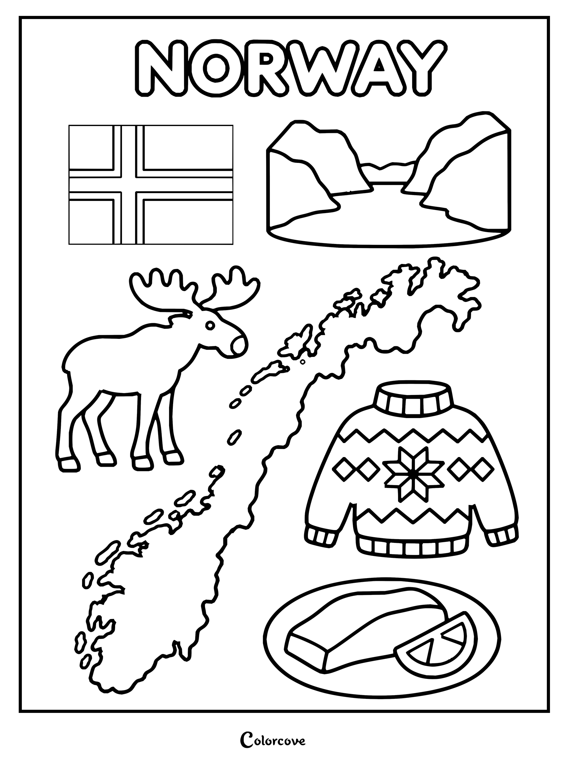
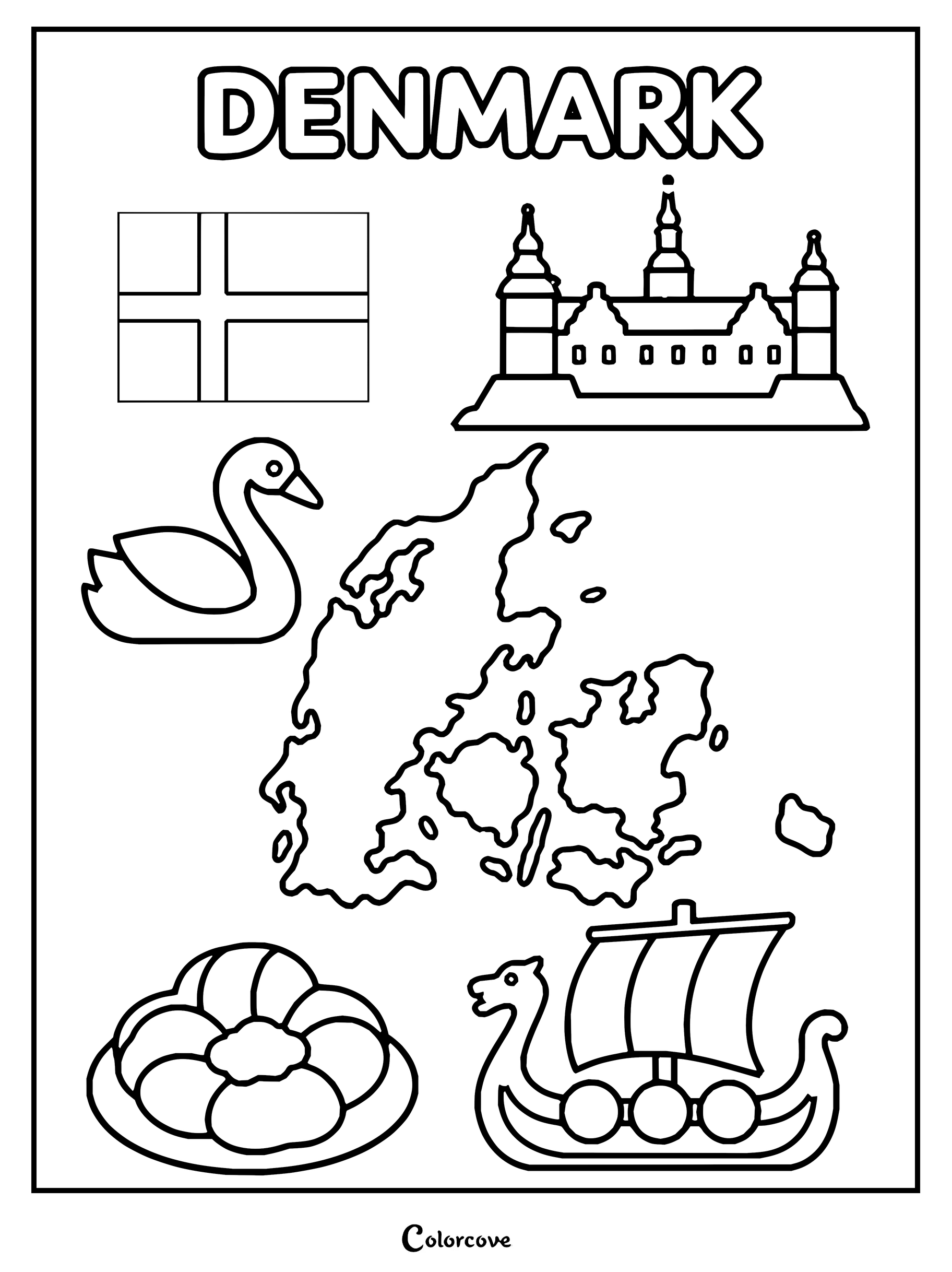
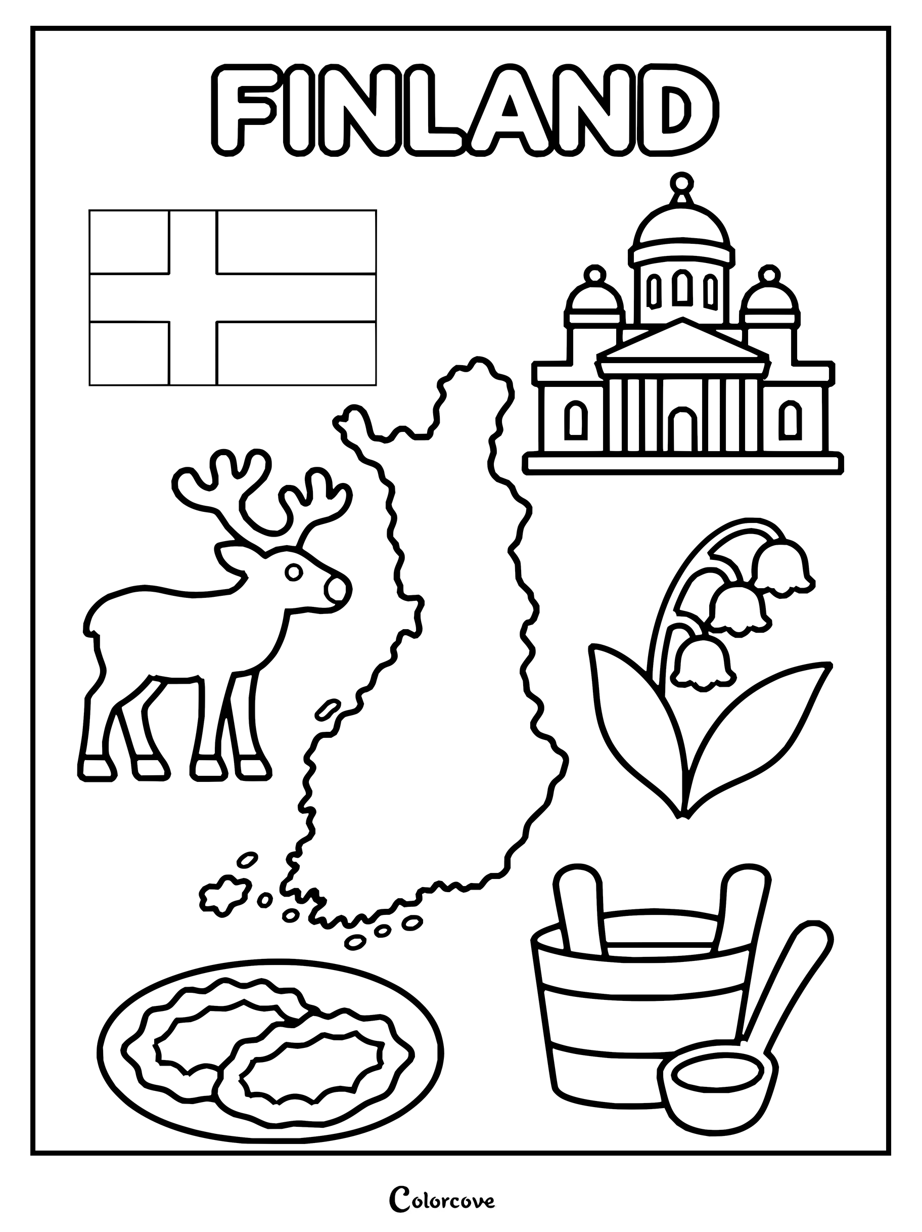
Journey through rugged Scandinavian fjords, pine forests, and charming coastal Baltic capitals. Bringing cool silvers, deep spruce greens, and icy blues to each northern country coloring printable creates an authentic Nordic atmosphere.
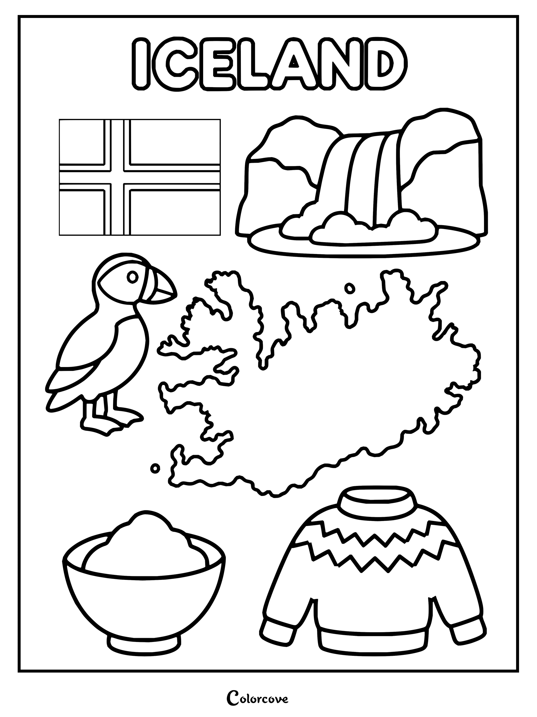
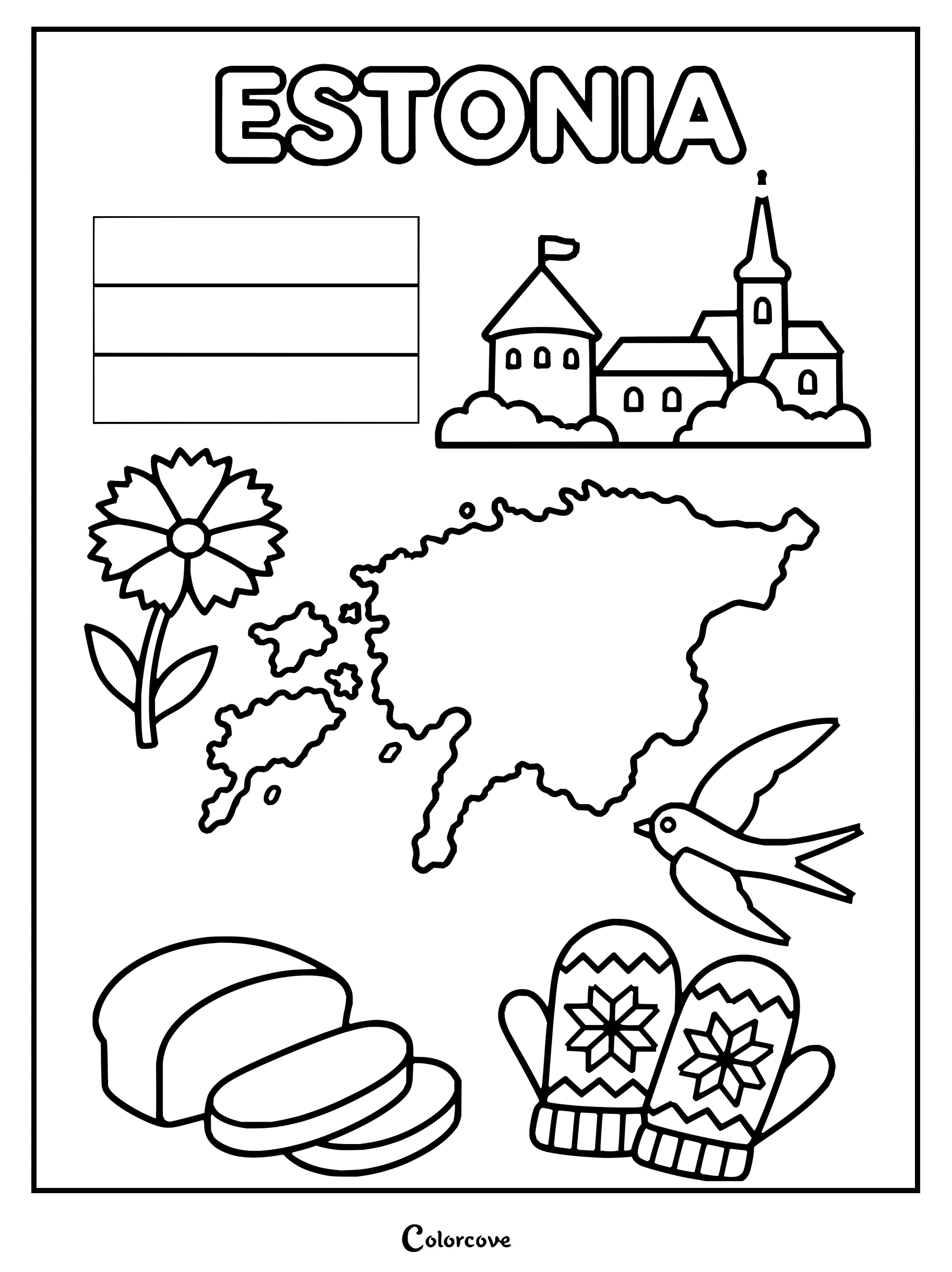
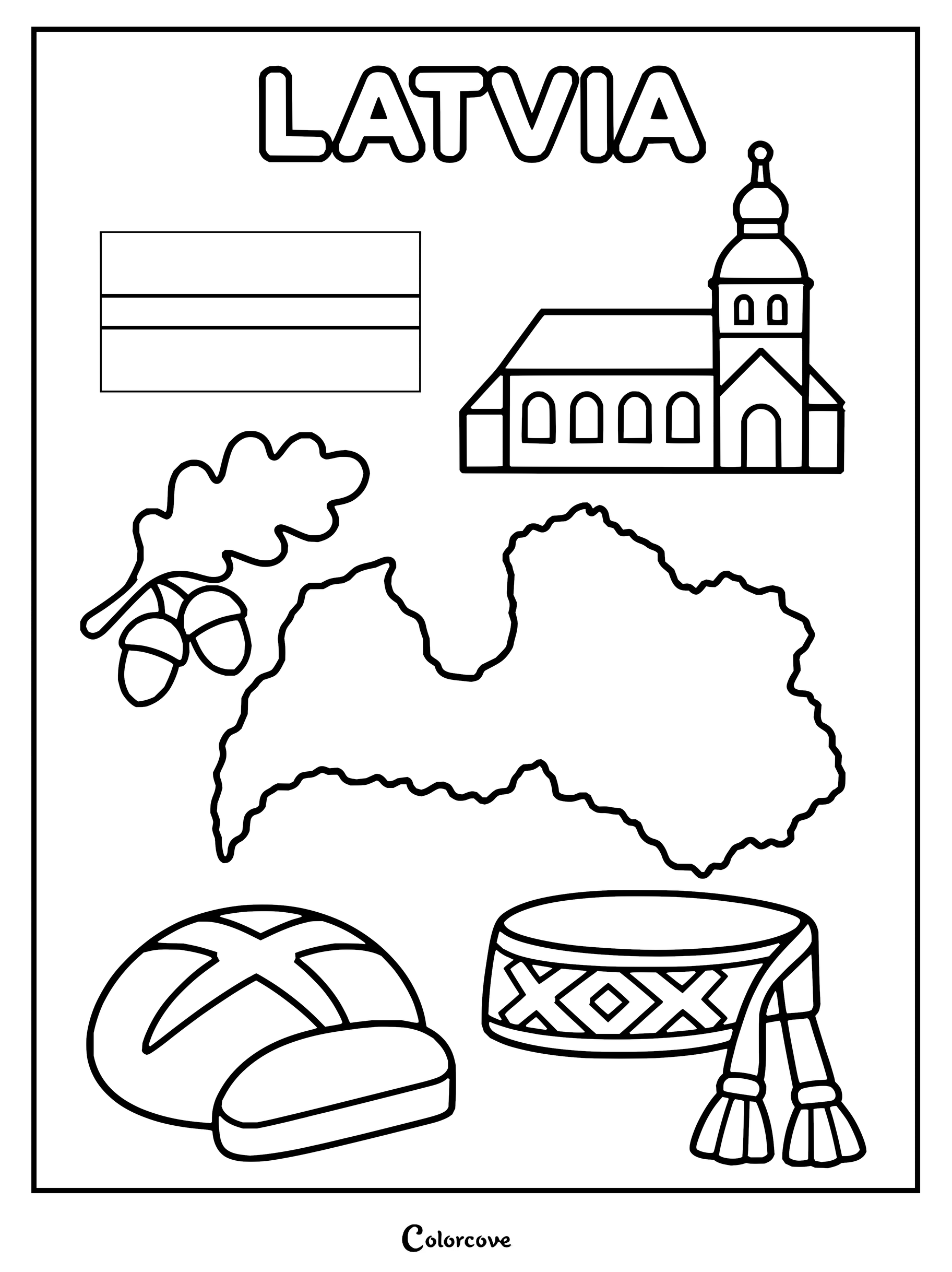
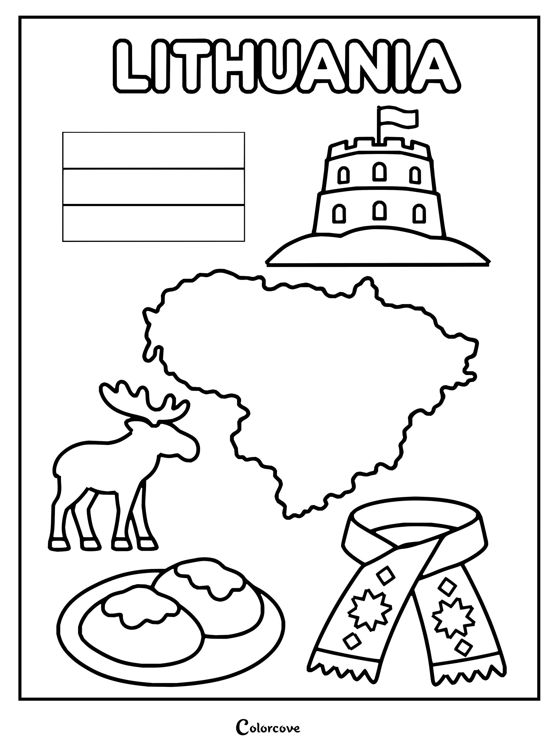
Explore Sweden with this educational coloring page featuring famous cultural symbols.Explore Norway with this fun cultural symbols coloring page.Explore Denmark with a fun coloring page featuring cultural icons and landmarks.Explore the culture of Finland with this educational printable.Explore Iceland with this page featuring a map, flag, puffin, and traditional symbols.Estonia coloring page showing the national flag, map, and cultural symbols.Latvia national symbols including the map, flag, church, and bread.Lithuania coloring page featuring its map, flag, and cultural symbols.
Bask in the radiant sun of Mediterranean coastlines, ancient classical ruins, and dramatic peninsulas. Every historic southern coloring sheet invites warm terracotta hues, sunny ochres, and sea greens to fill timeless landscapes.
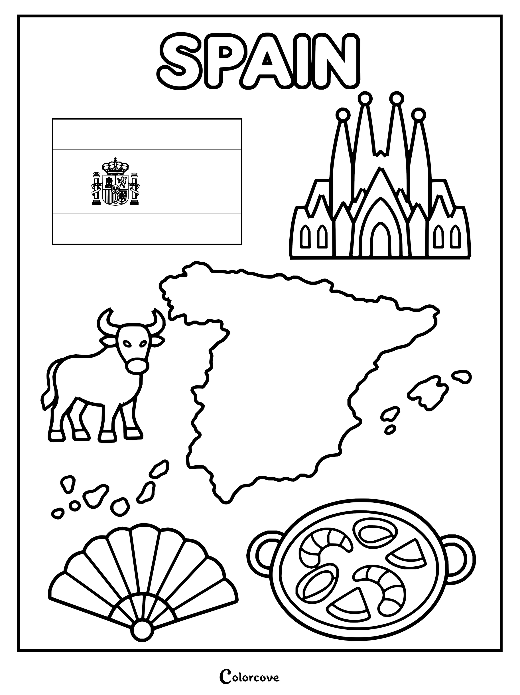
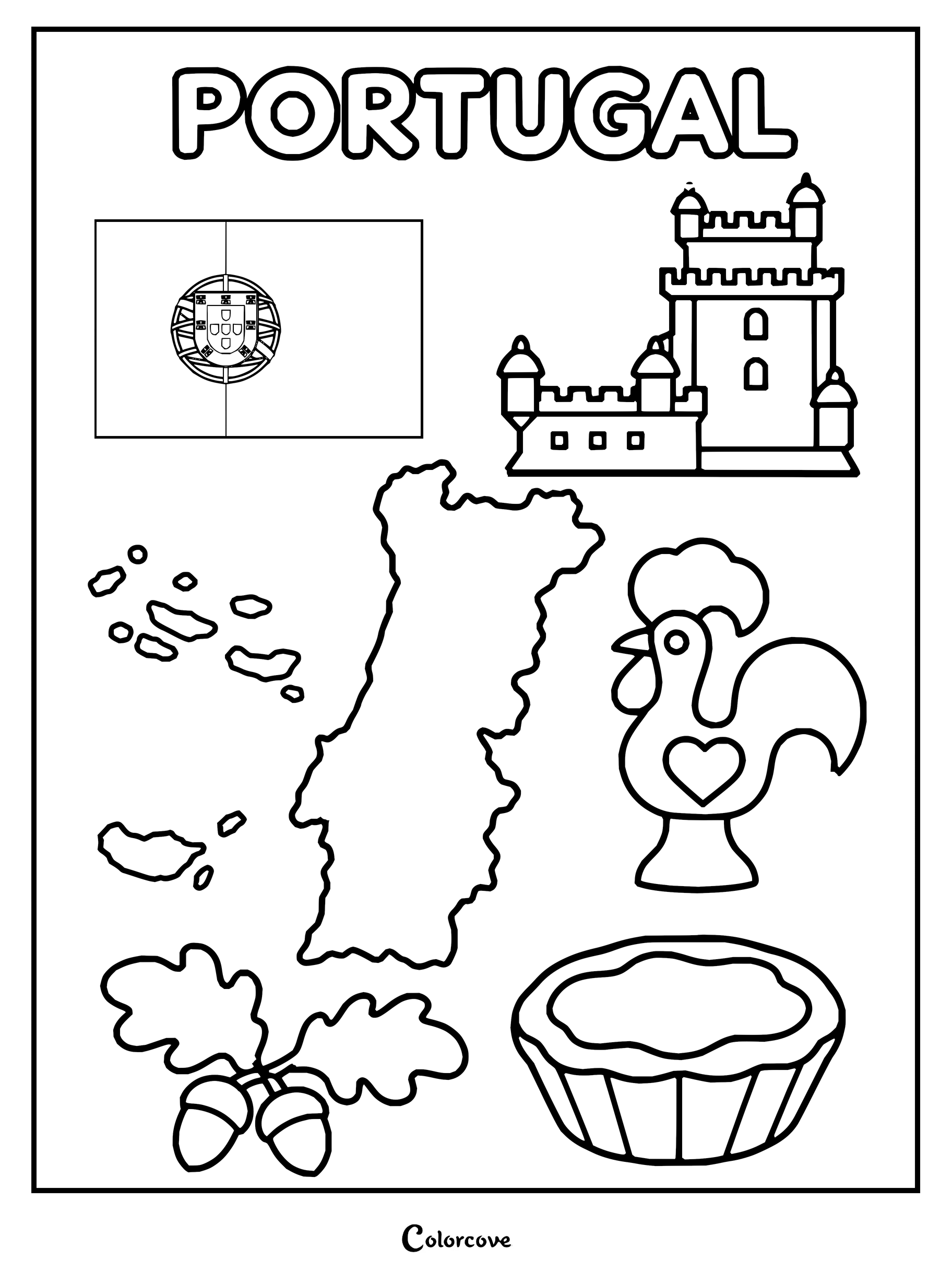
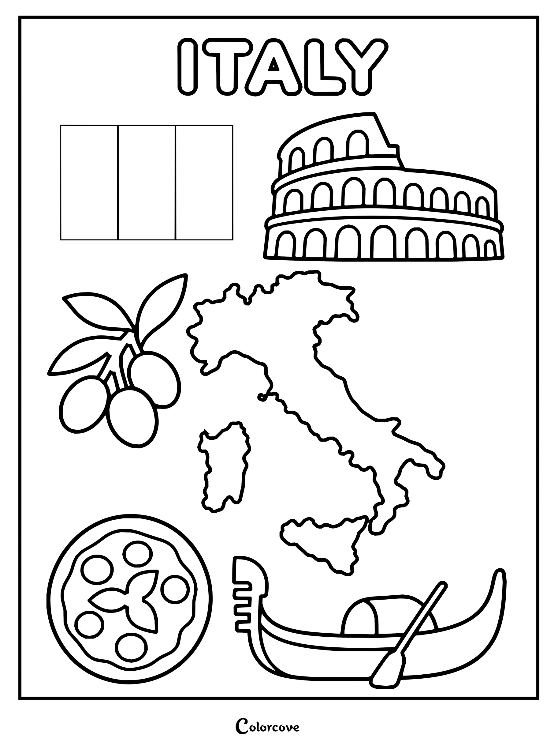
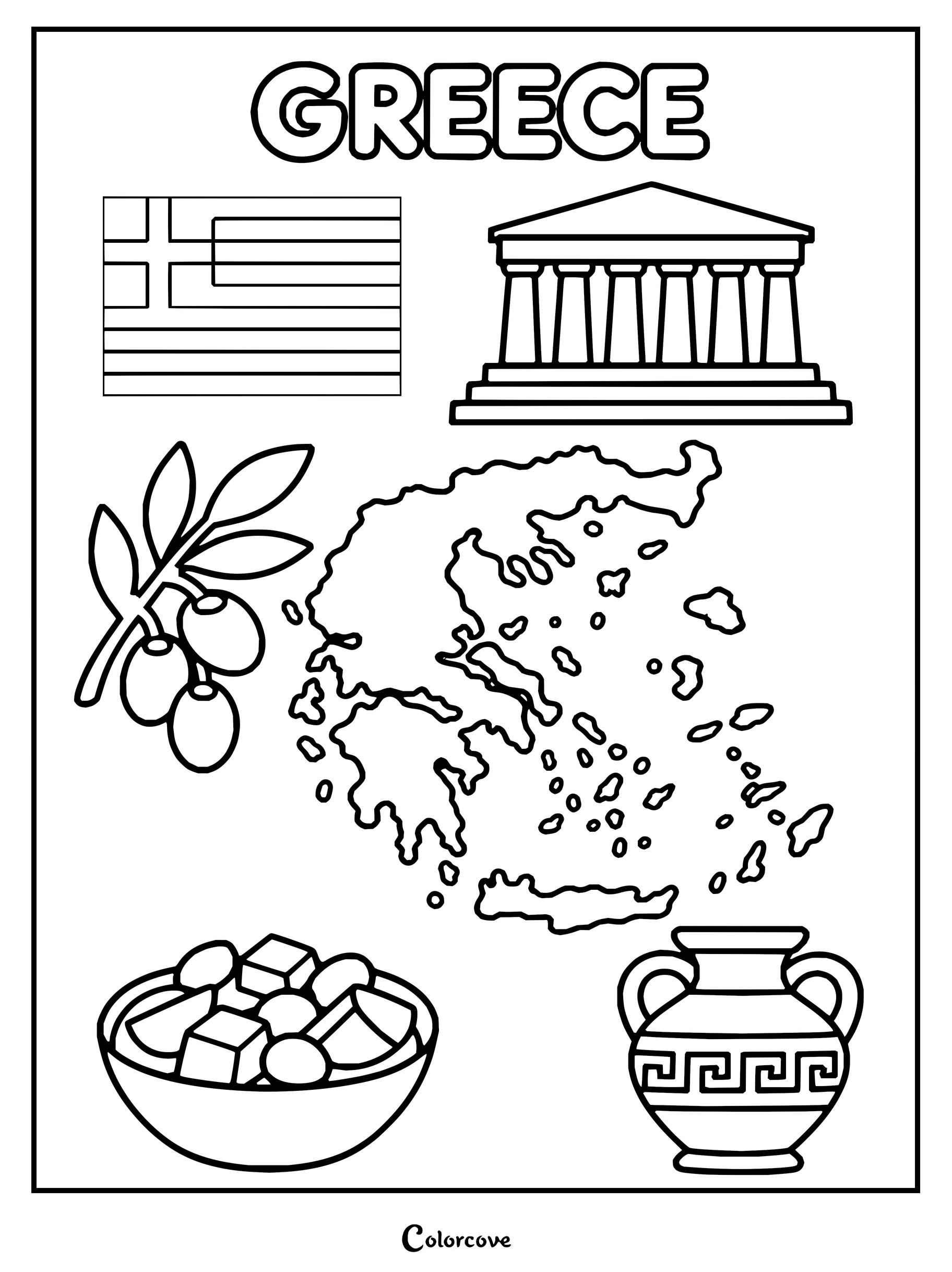
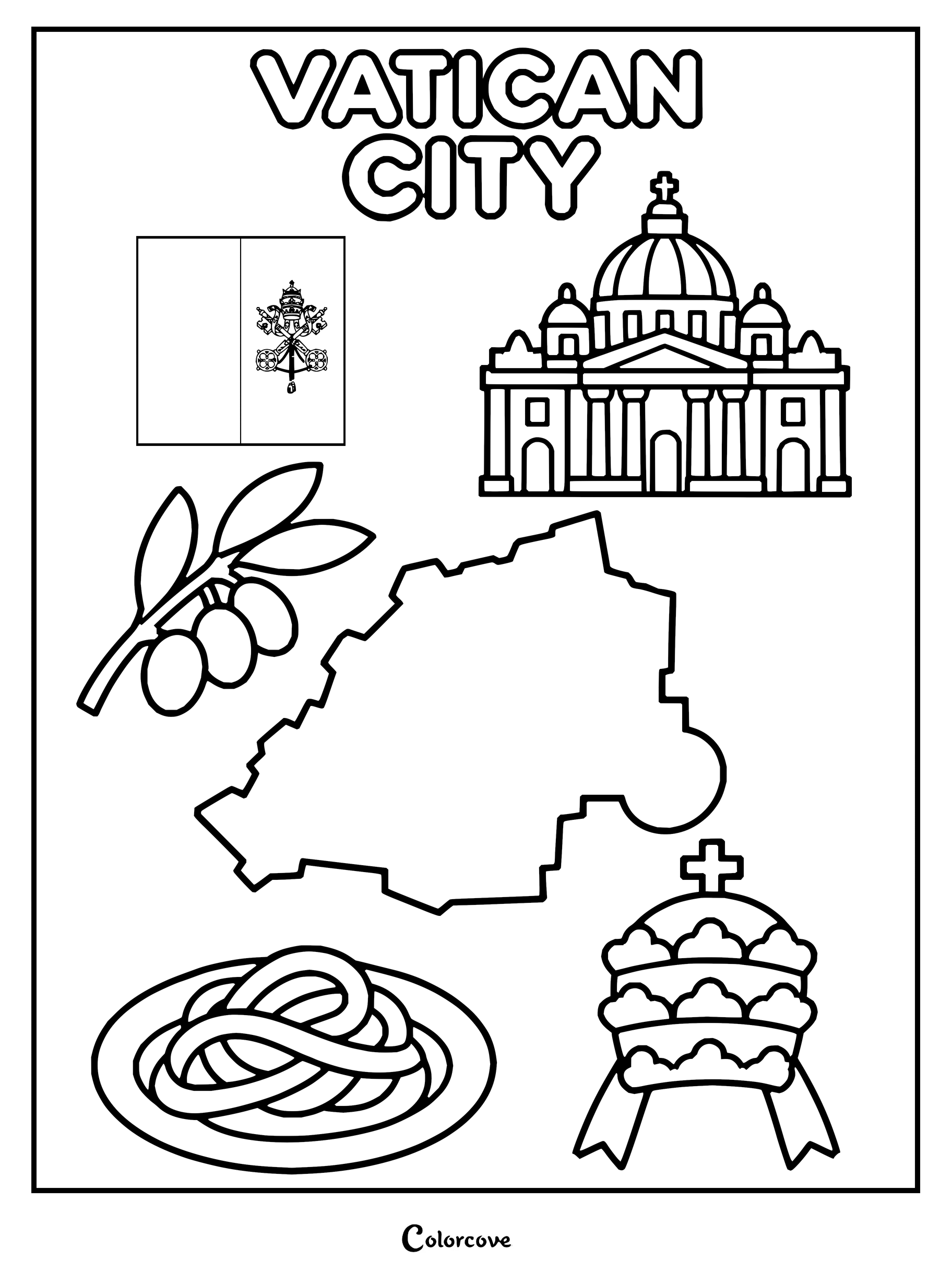
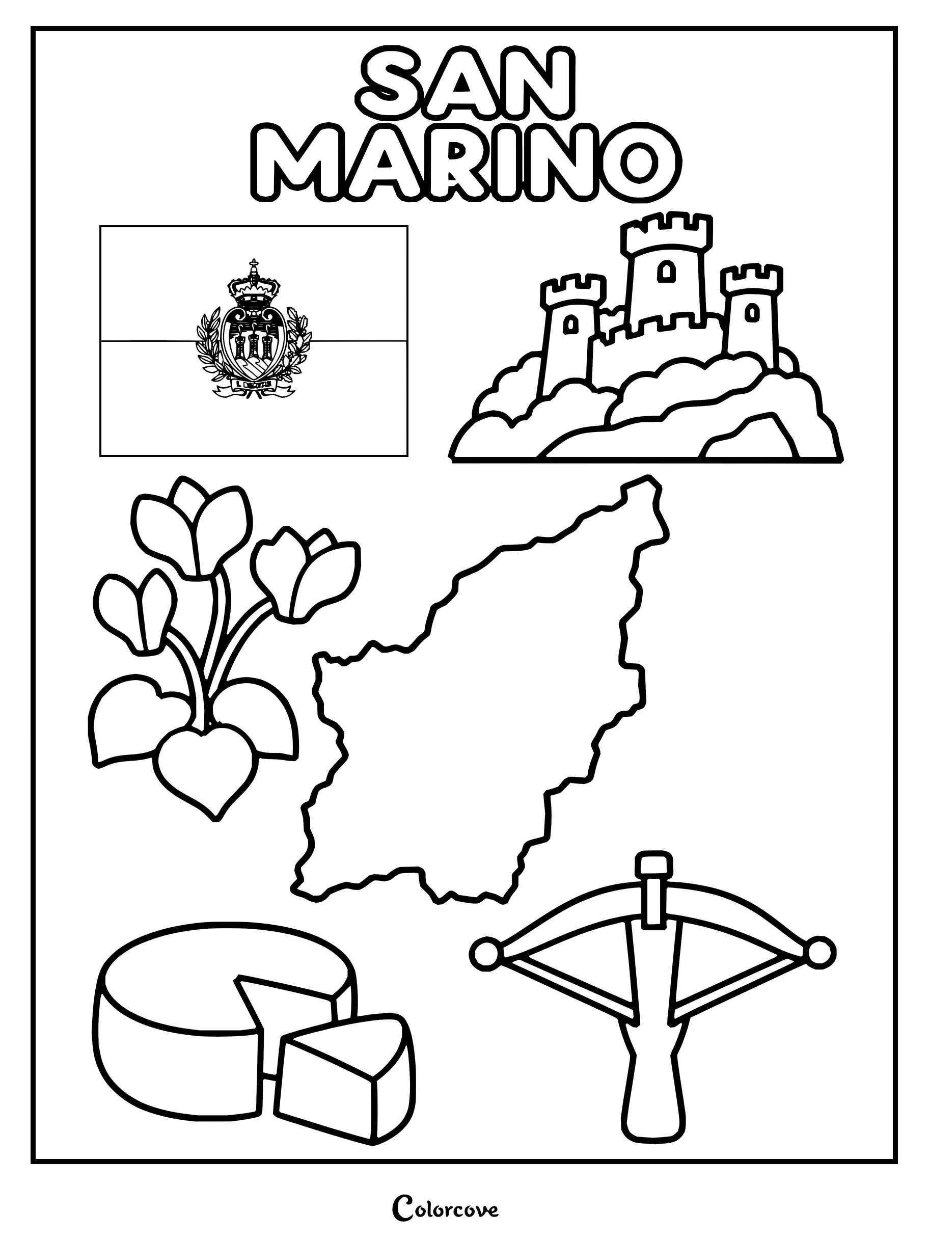
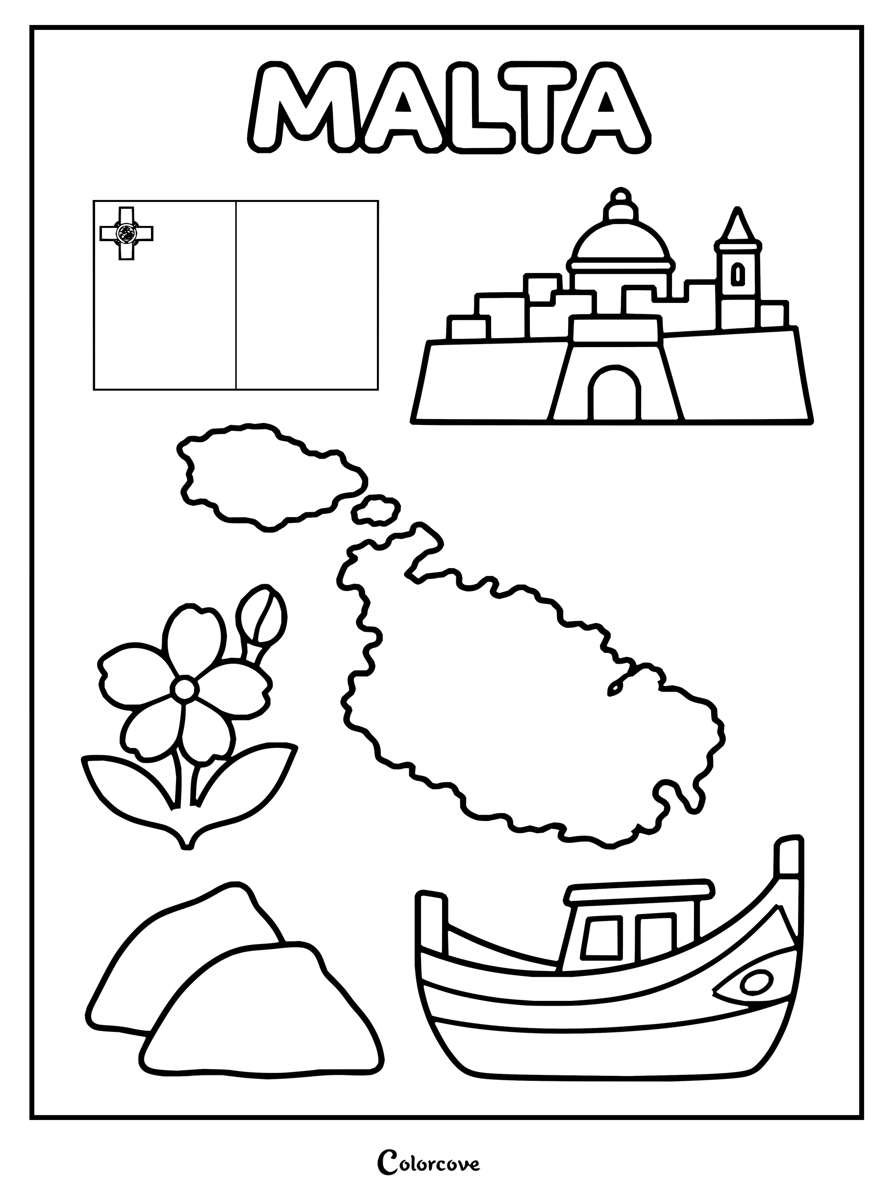
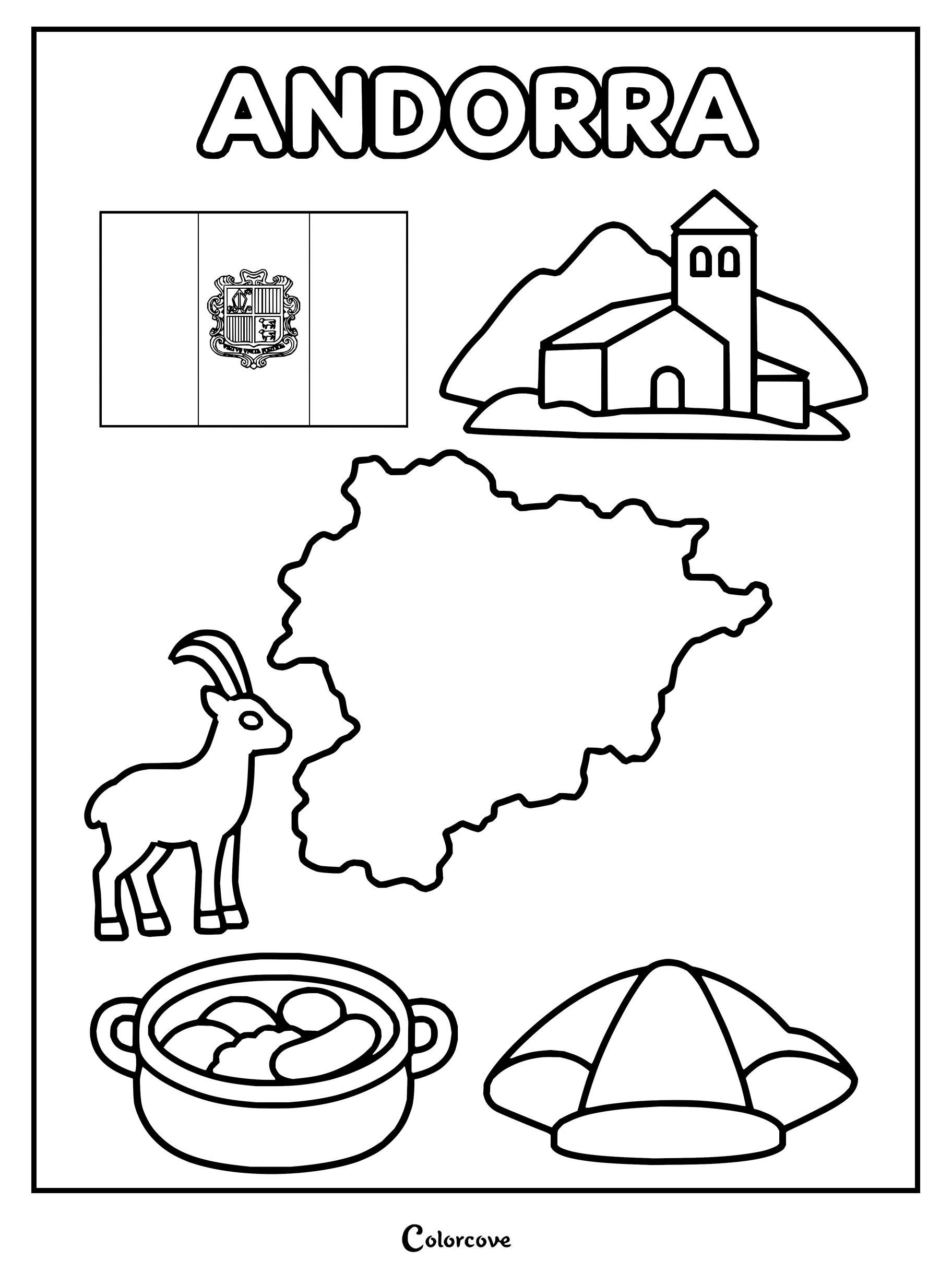
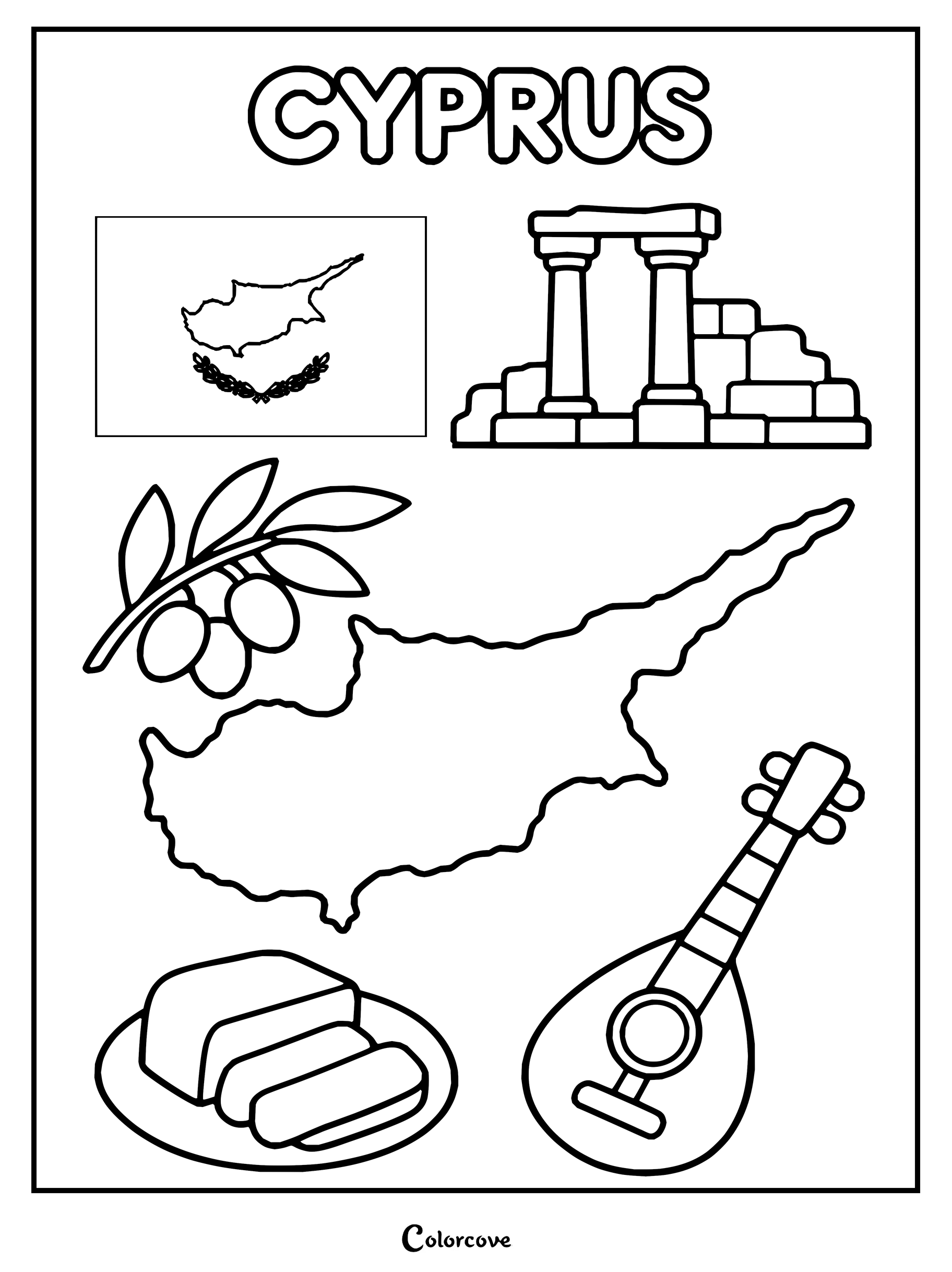
Explore Spanish culture with iconic symbols like a map, flag, and paella.Portugal coloring page features iconic cultural symbols and landmarks.Explore Italy with icons including the Colosseum, map, and pizza.Greece coloring page highlighting iconic cultural and historical symbols.Vatican City landmarks, symbols, and map featuring St. Peter’s Basilica.San Marino features its national flag, castle, map, and traditional symbols.Explore Malta with this educational coloring page showcasing national landmarks and symbols.Explore Andorra’s national symbols, map, and cultural icons.Explore Cyprus with symbols including its map, flag, and cultural elements.
Trace the historic river systems, rolling plains, and storied fortresses that define this vast continental crossroads. Artists appreciate the bold outlines and geographic detail featured throughout each educational coloring page.
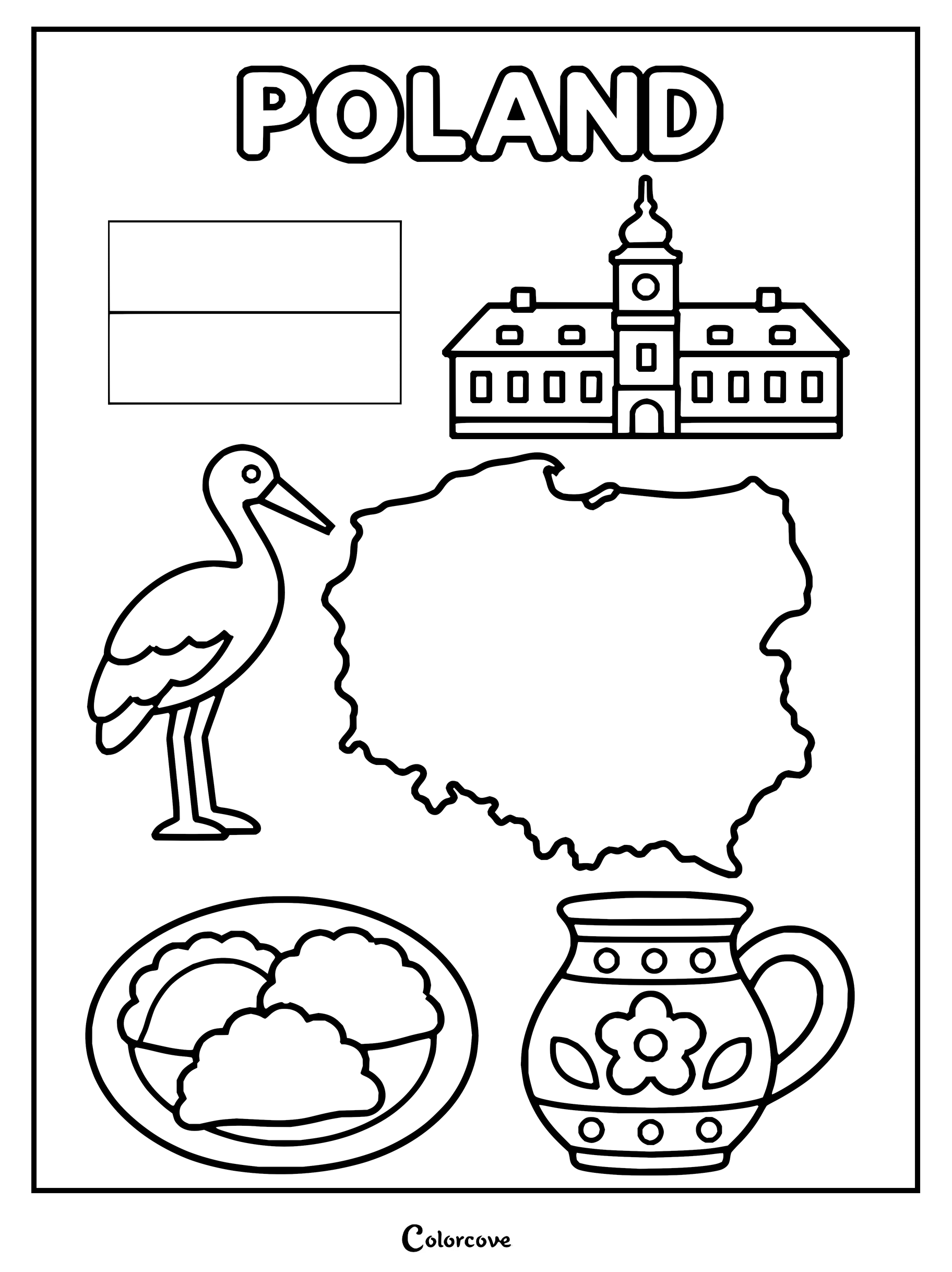
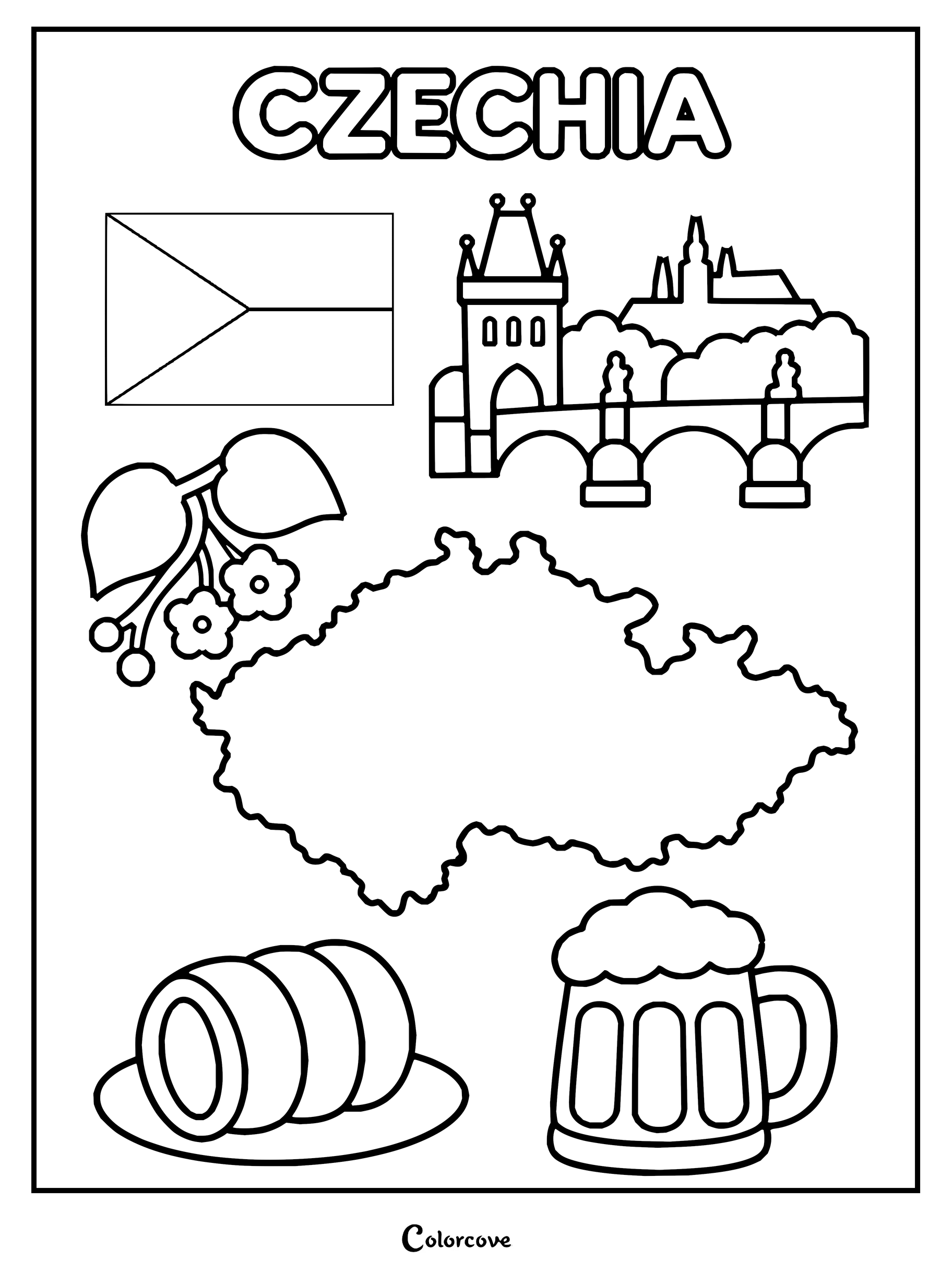
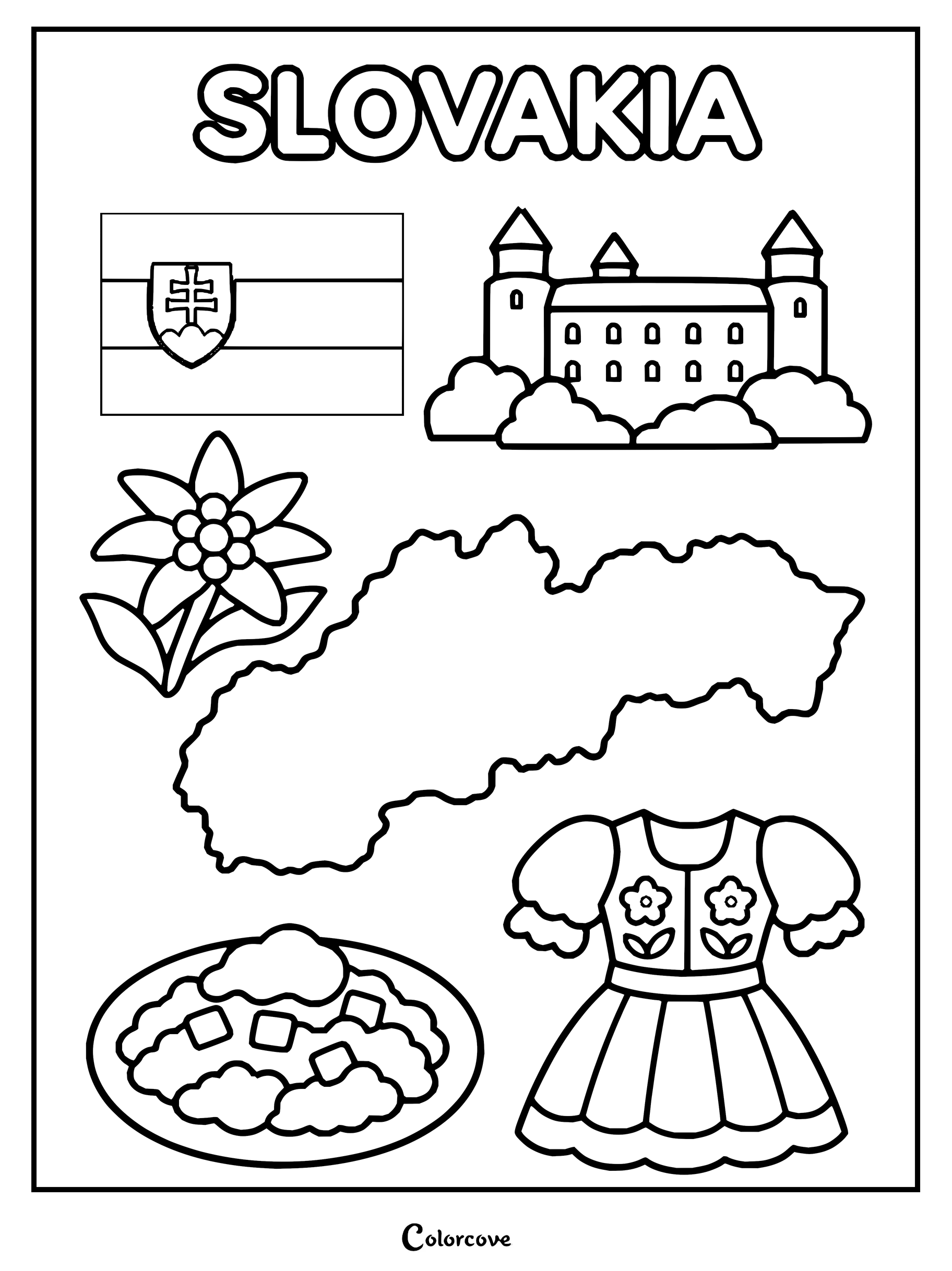
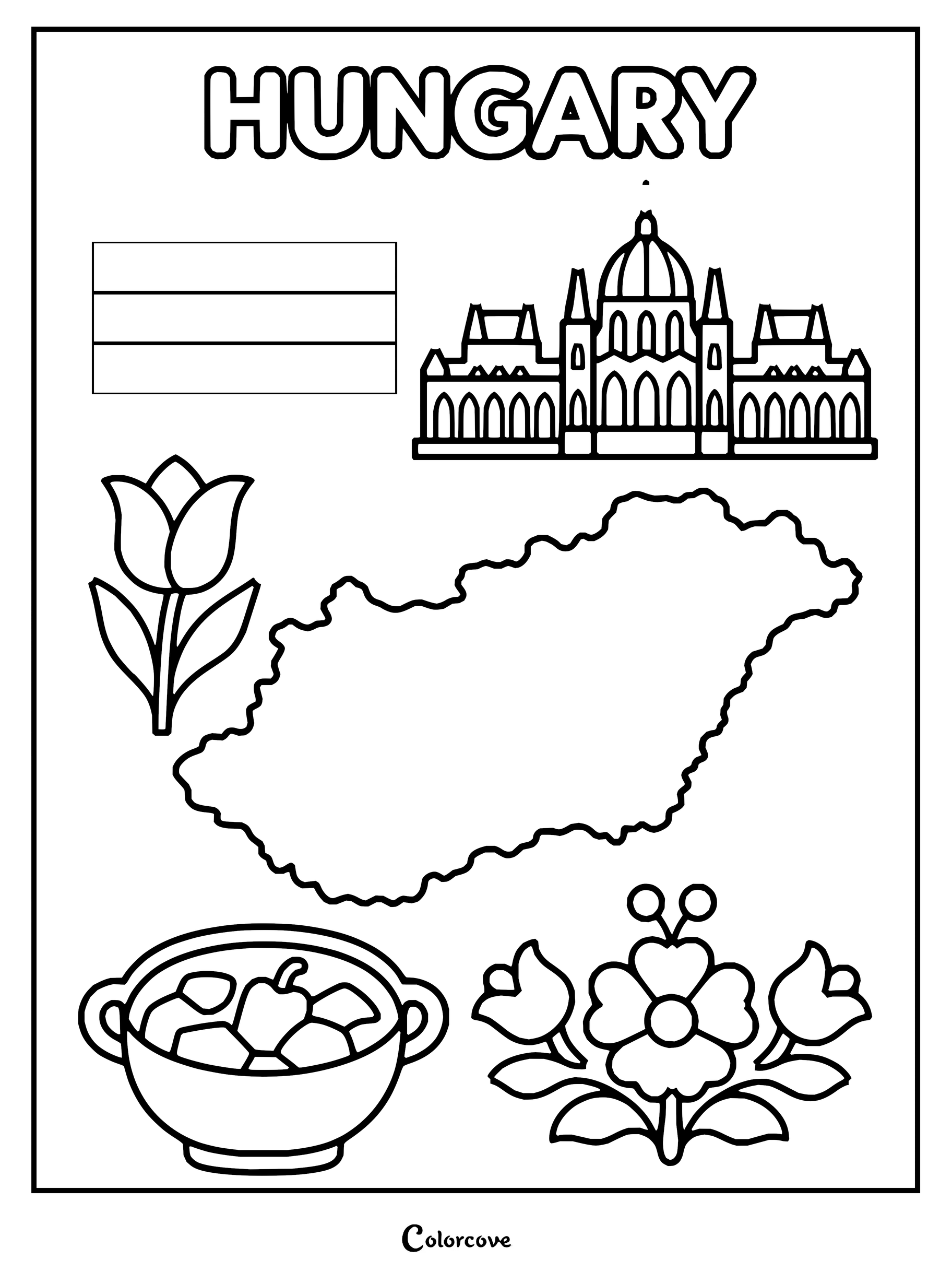
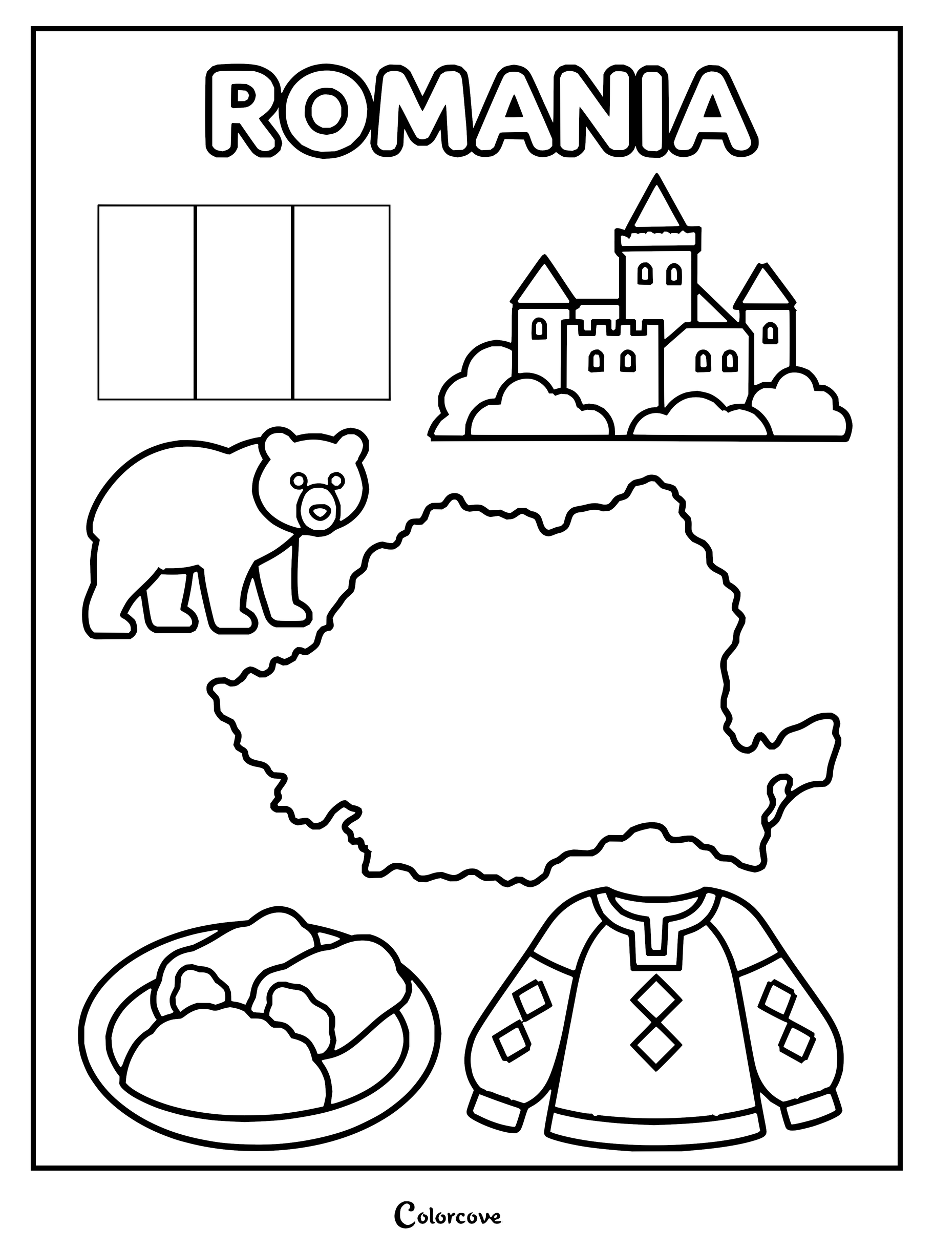
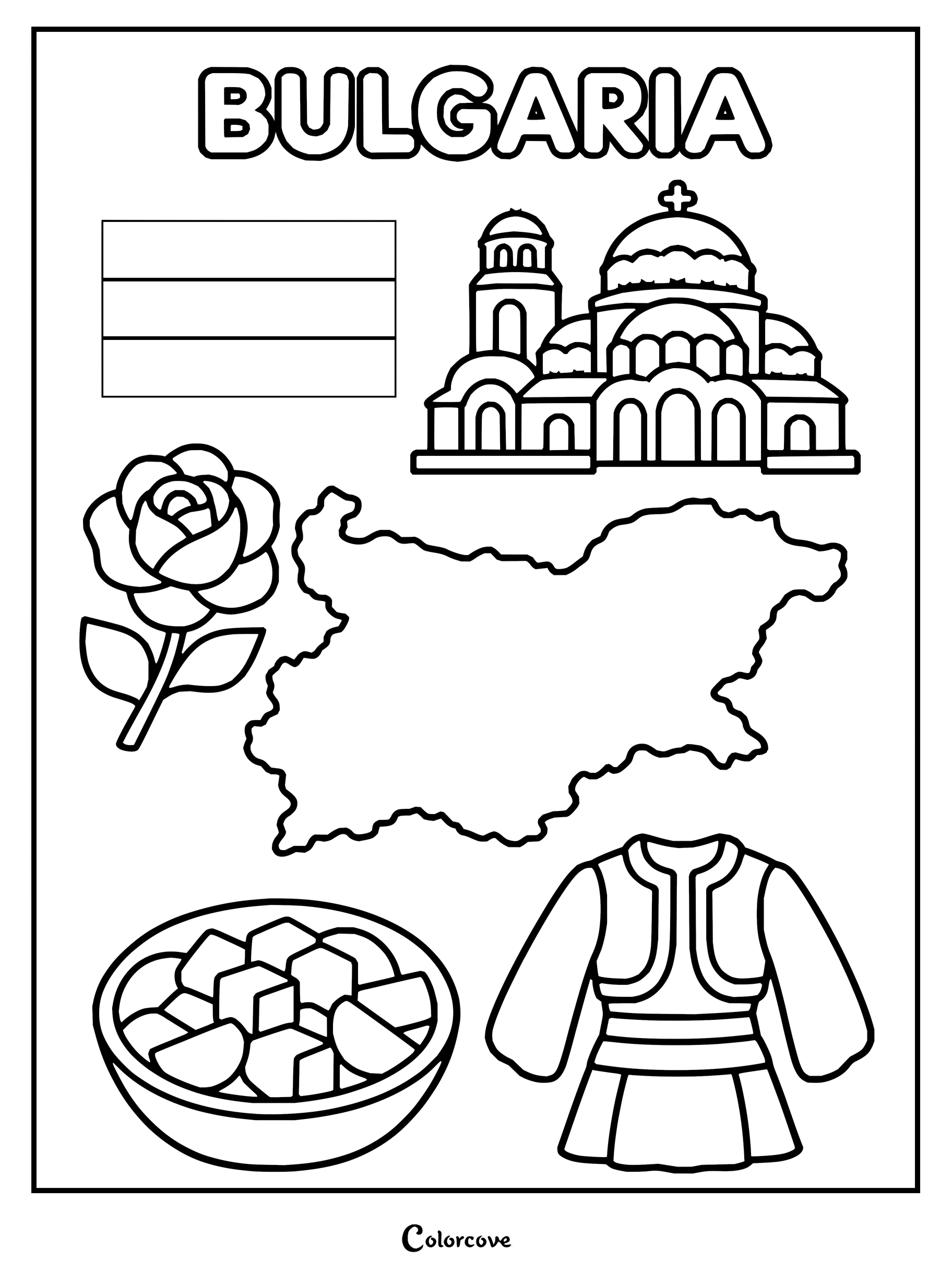
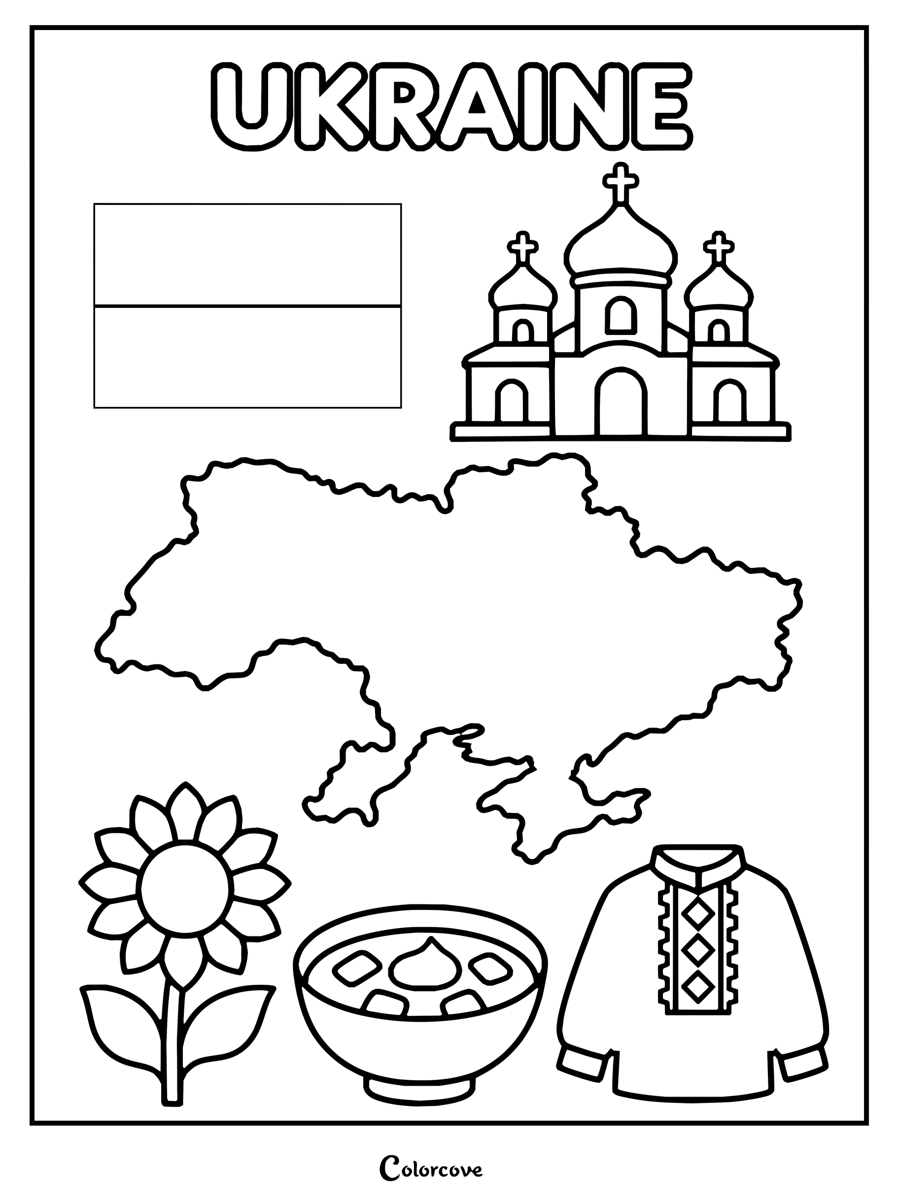
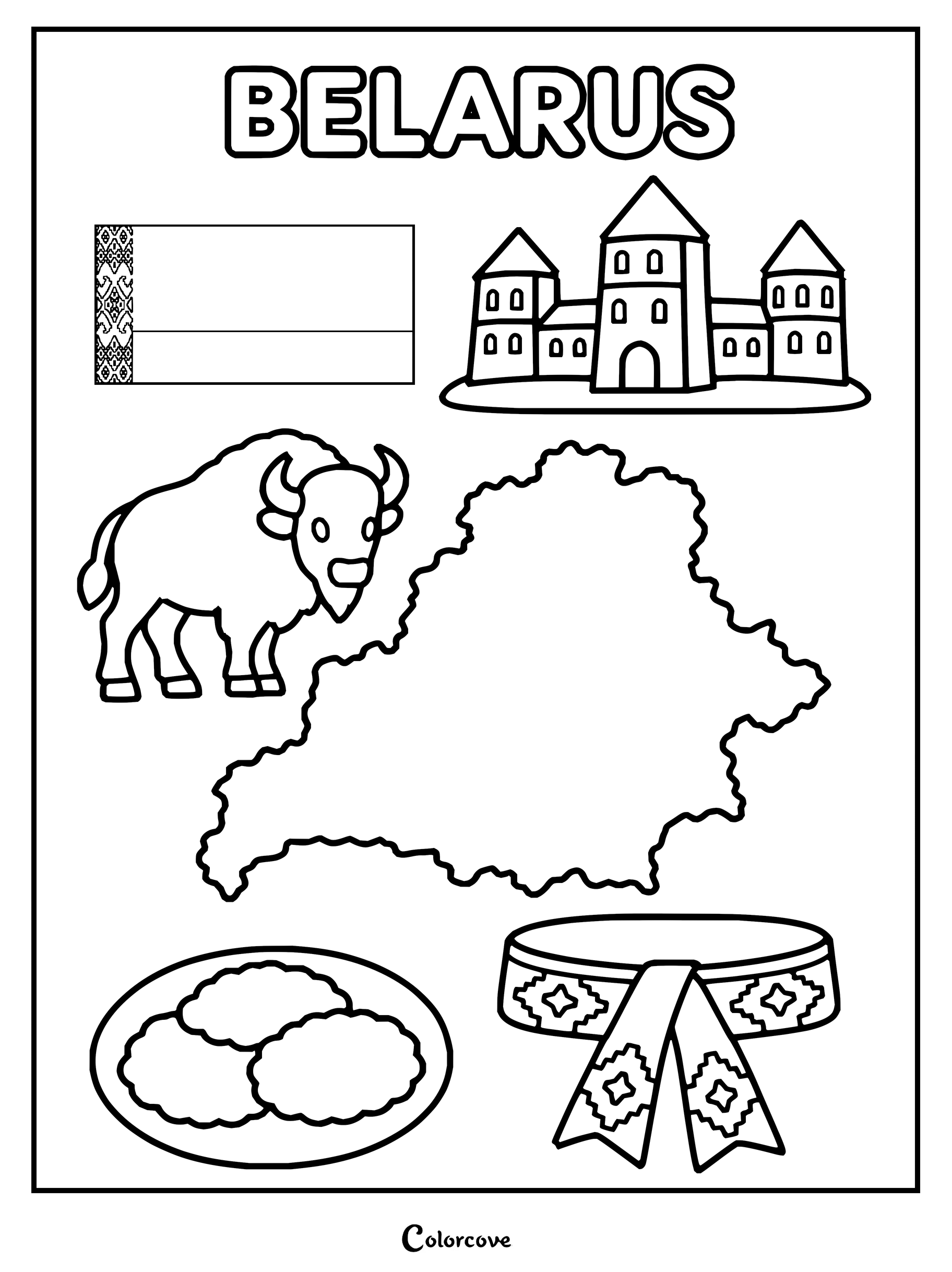
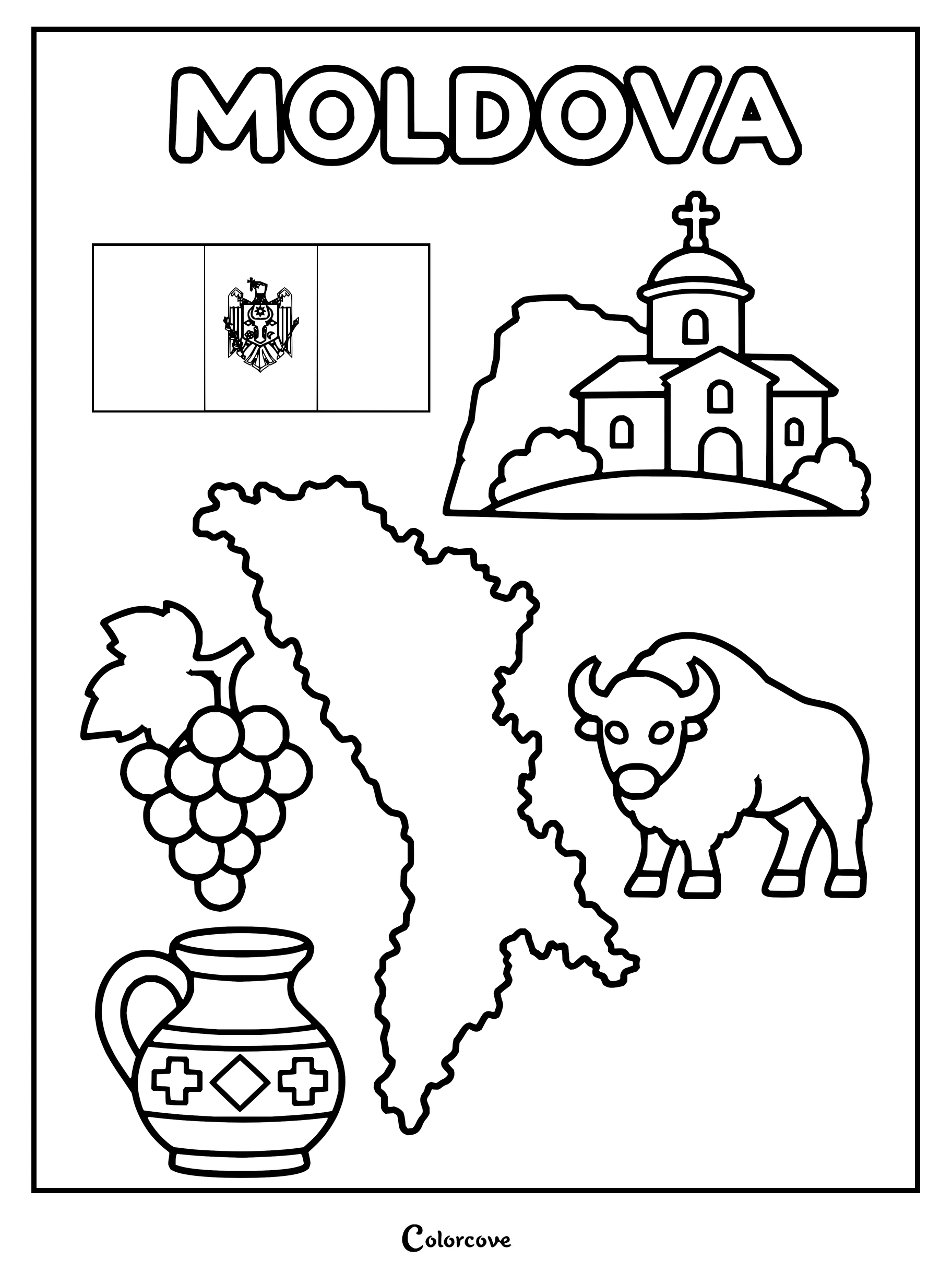
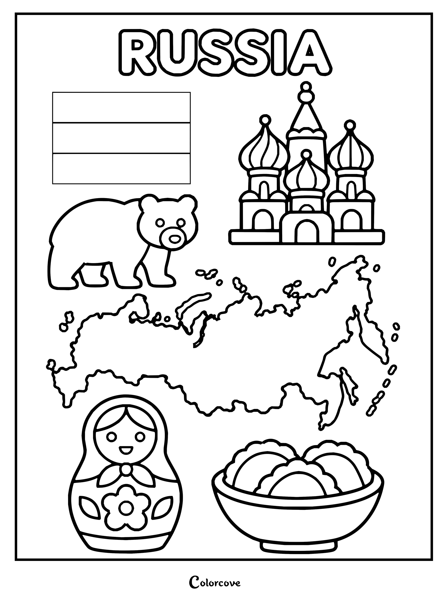
Educational coloring page featuring iconic symbols and landmarks of Poland.Color the map, flag, and famous landmarks of Czechia.Educational coloring page featuring various cultural symbols and landmarks of Slovakia.Coloring page featuring the map, flag, and cultural symbols of Hungary.Color Romania’s map, flag, traditional blouse, castle, bear, and local food.Explore Bulgaria symbols like the map, flag, and national rose.Discover Ukrainian culture with this detailed map, flag, and traditional symbols.Educational coloring page featuring the map, flag, bison, and architecture of Belarus.Explore Moldova landmarks, flag, map, and cultural symbols in this fun coloring page.Educational coloring sheet featuring iconic symbols, landmarks, and map of Russia.
Southeast Europe and Caucasus
Navigate the dramatic peaks of the Balkan and Caucasus ranges where diverse cultures meet ancient geography. Layering earthy mineral tones across every mountainous coloring page highlights the intricate borders separating these resilient lands.
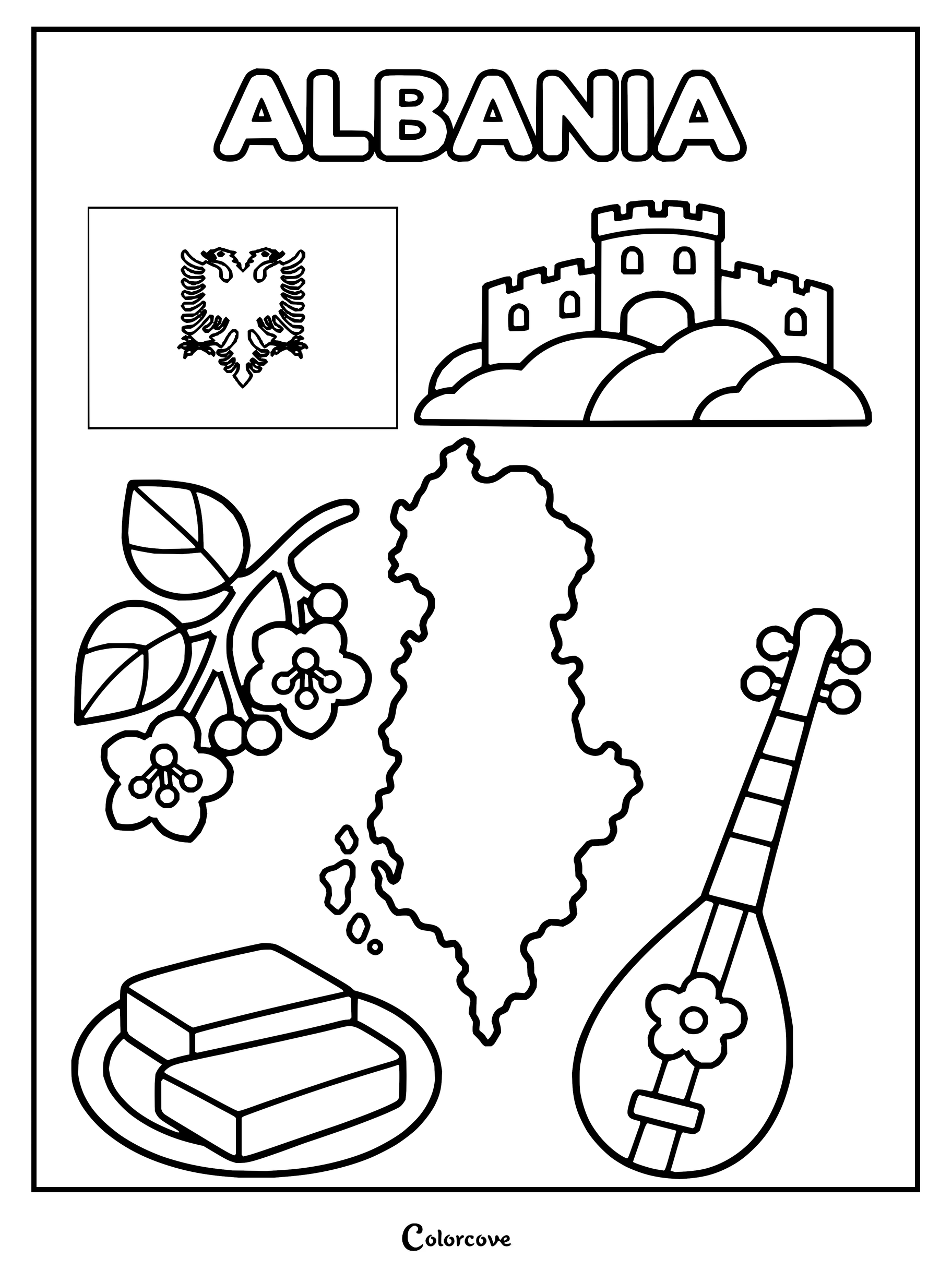
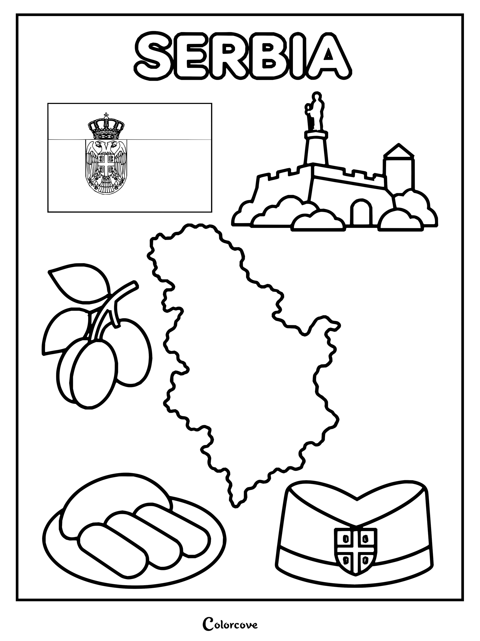
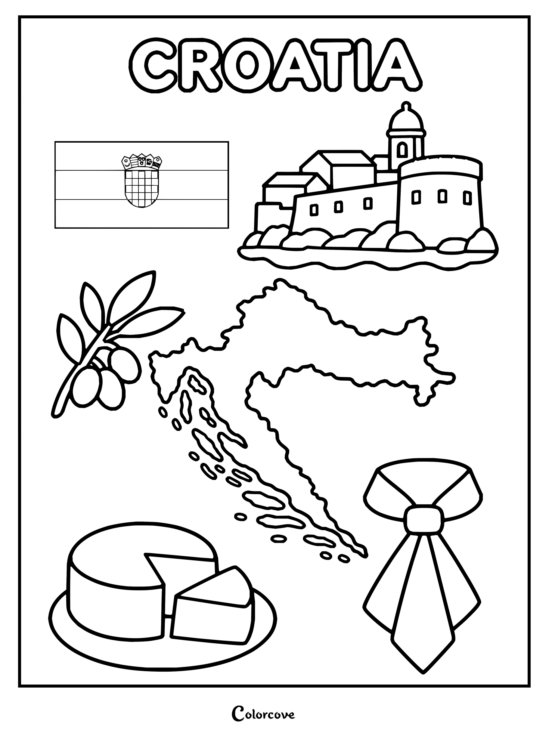
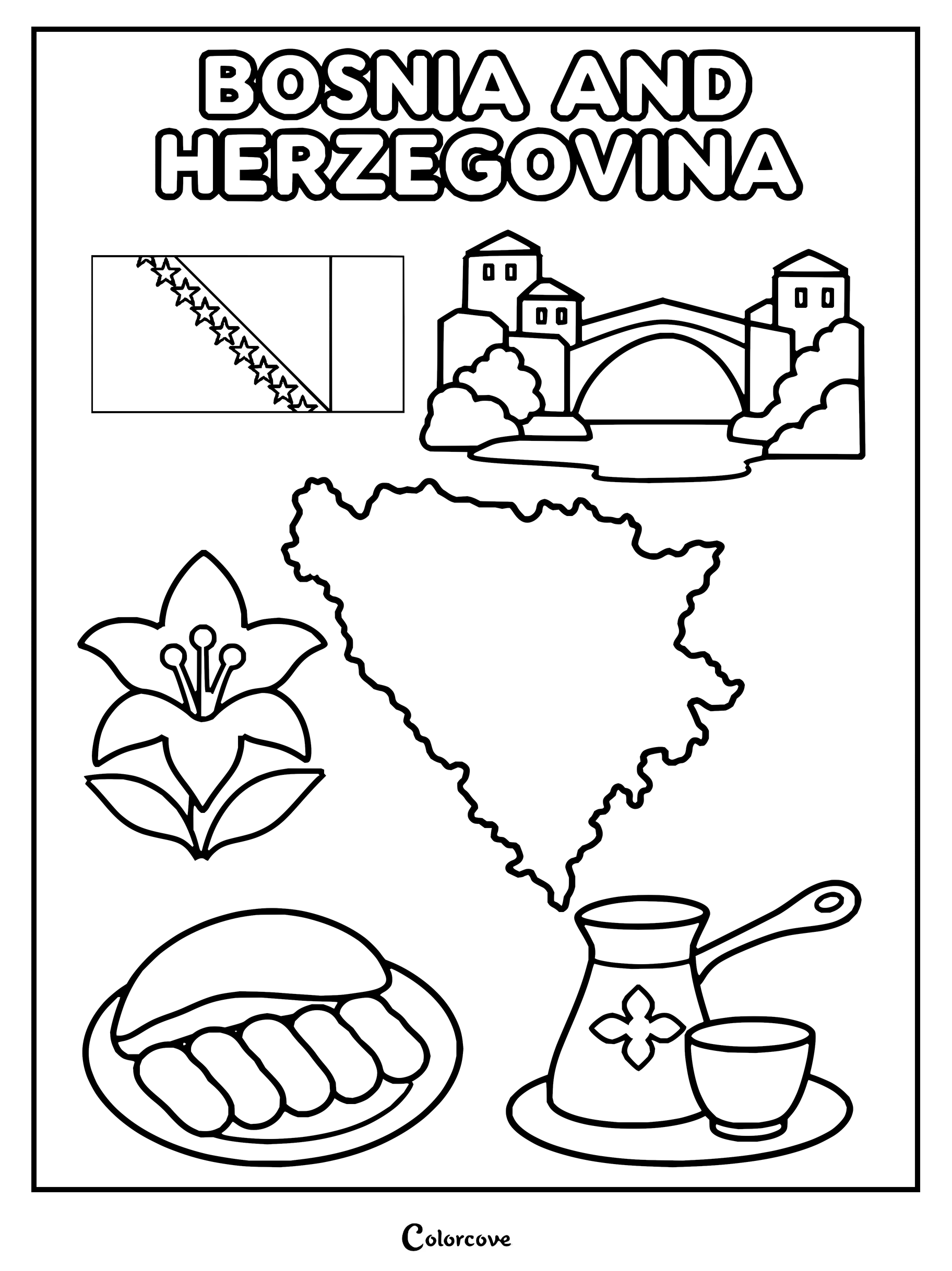
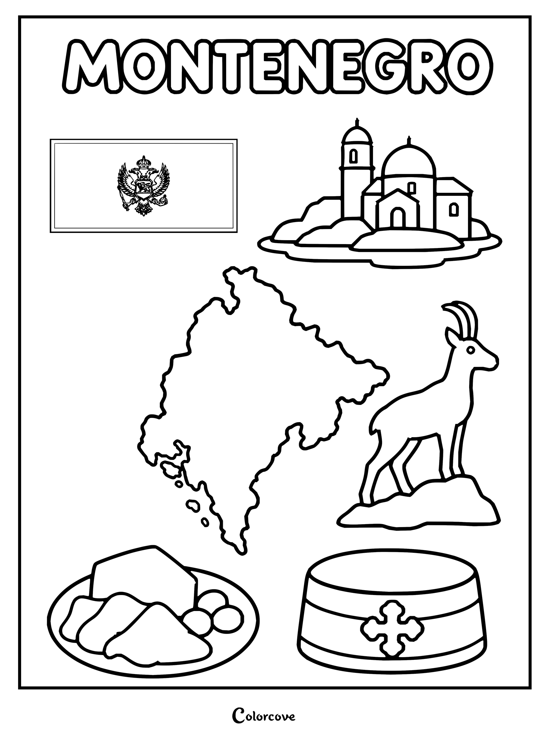
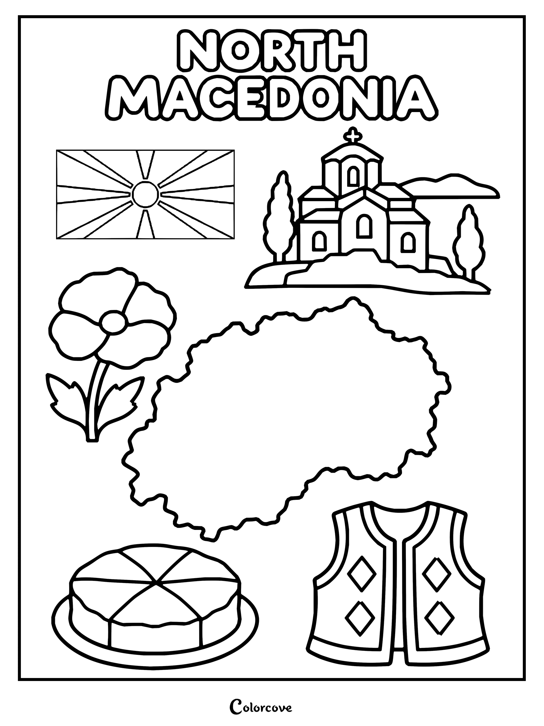
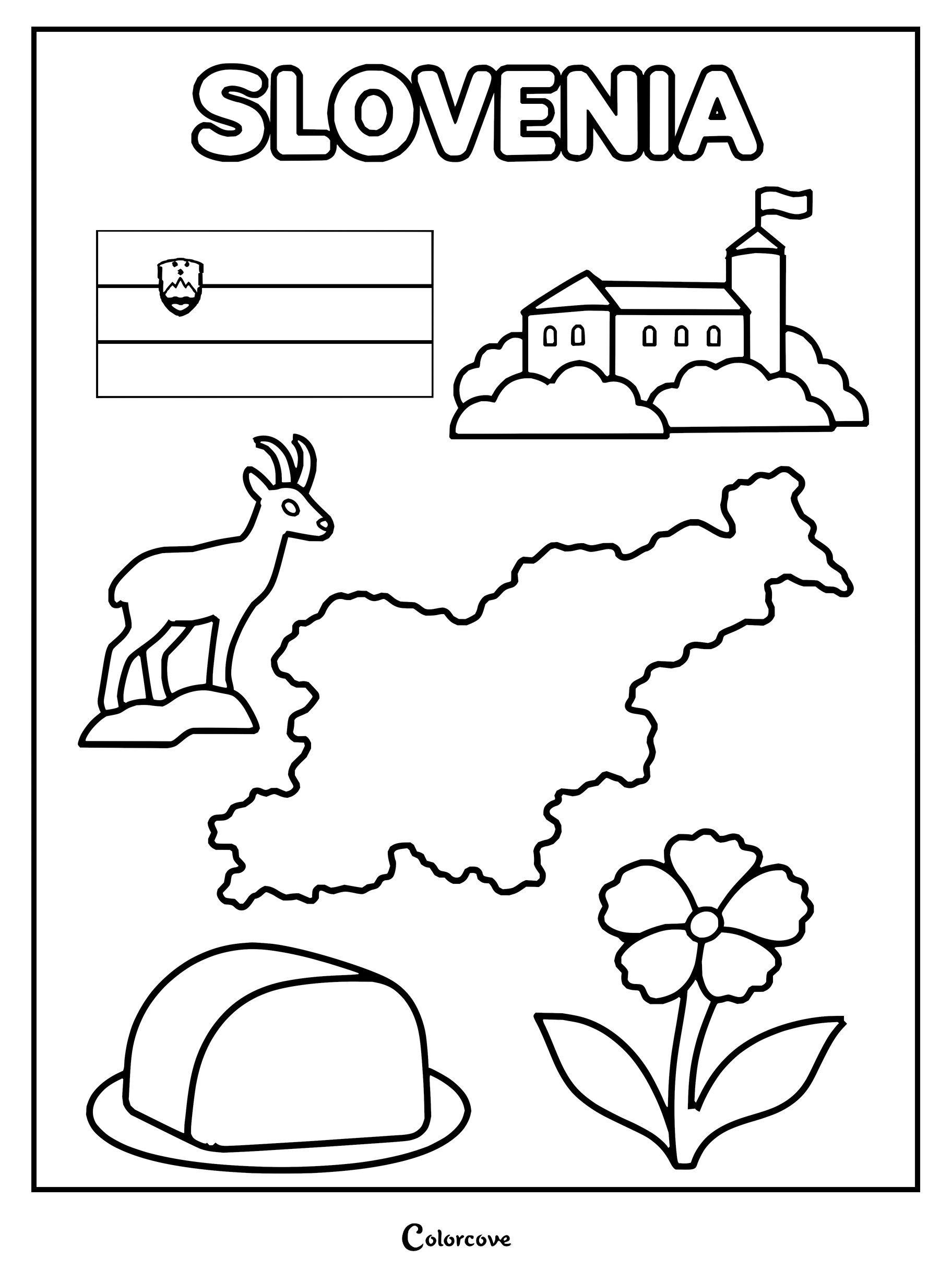
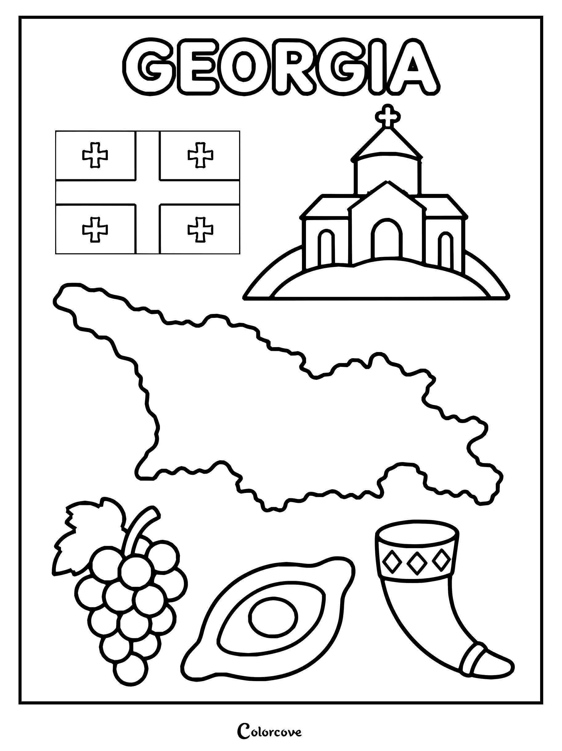
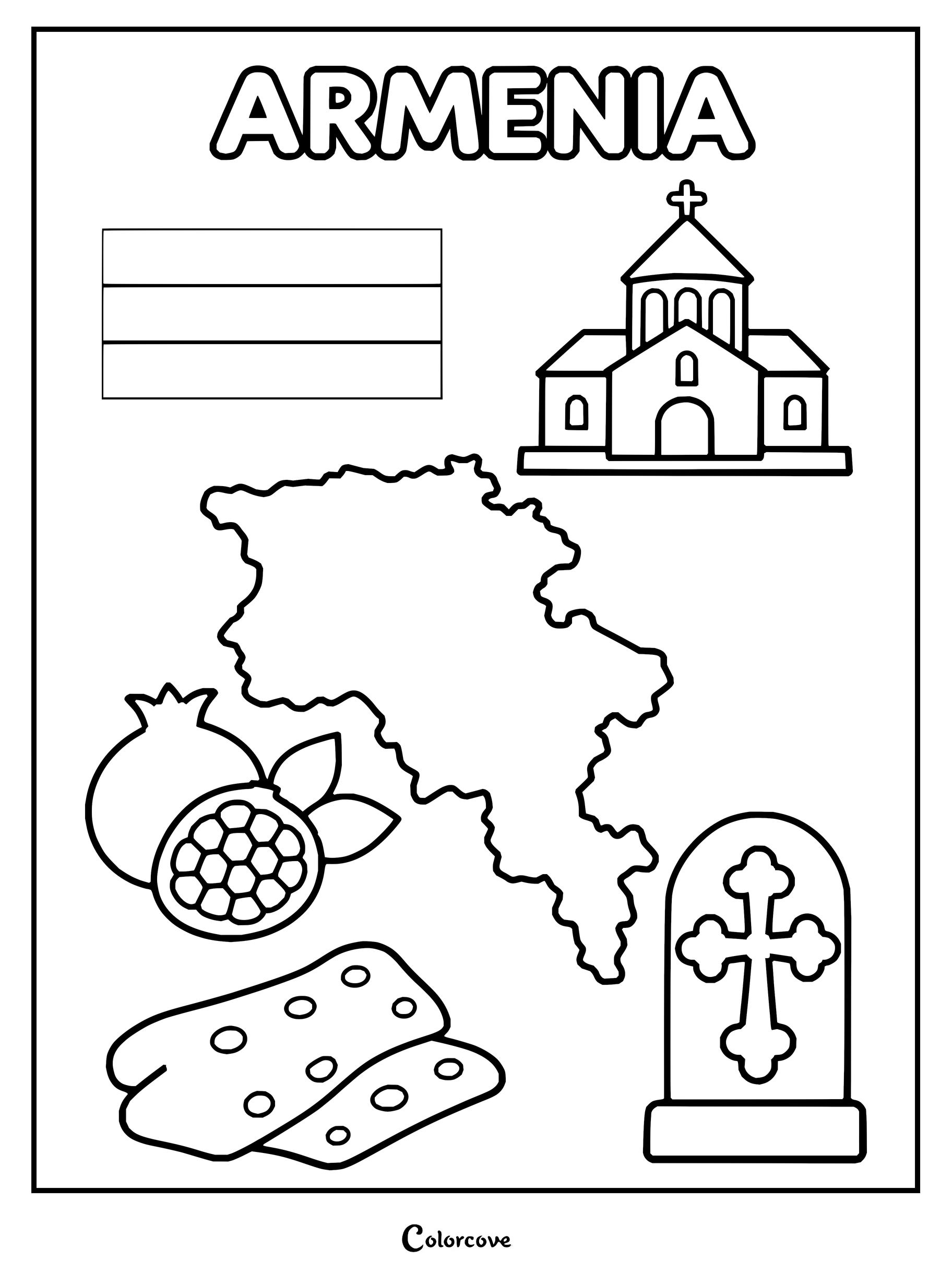
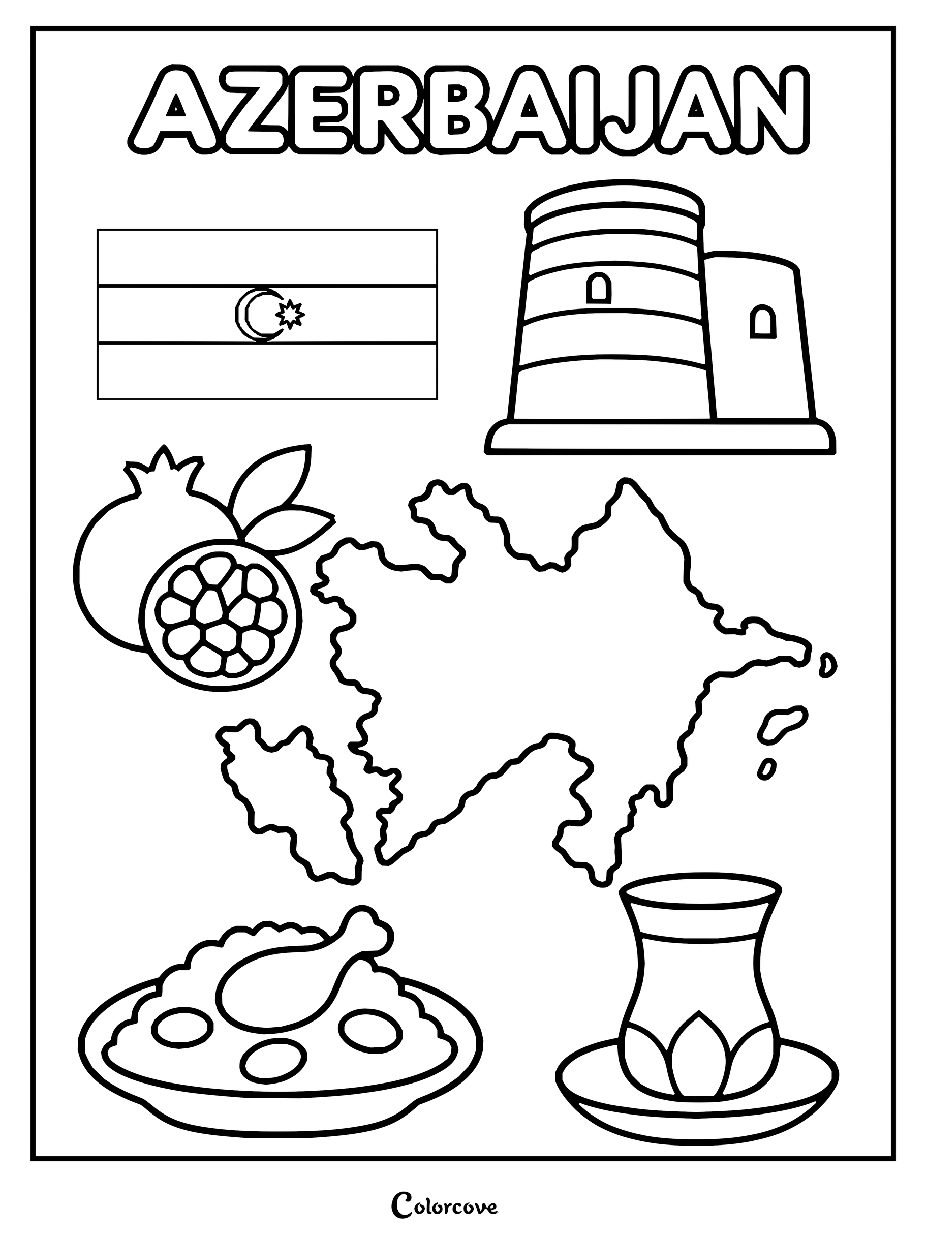
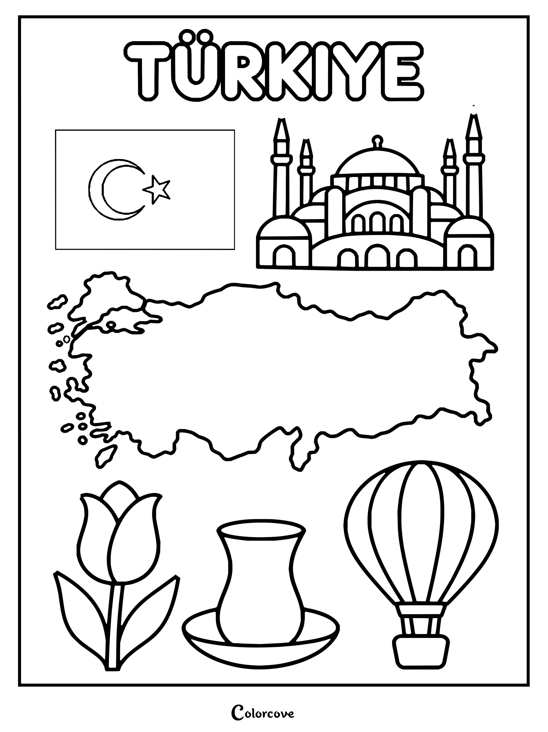
Explore Albanian culture with this detailed educational coloring sheet.Educational coloring page featuring the country of Serbia.Explore Croatian culture with this detailed coloring page of national icons.Explore Bosnian culture with this detailed coloring sheet of national symbols.Discover Montenegro with this detailed coloring page.Color the map, flag, and cultural symbols of North Macedonia.Explore Slovenia with this printable flag, map, and cultural symbols coloring page.Educational coloring page showcasing key cultural and geographical symbols of Georgia.Explore Armenia with this coloring sheet featuring national symbols.Explore the culture of Azerbaijan with this detailed educational coloring page.Explore Turkiye with iconic cultural symbols and landmarks.
Discover centuries of dynamic civilization stretching from serene mountain temples to bustling ultramodern skylines. These East Asian coloring pages invite rich vermilion reds, deep bamboo greens, and lustrous golds to accentuate regional emblems.
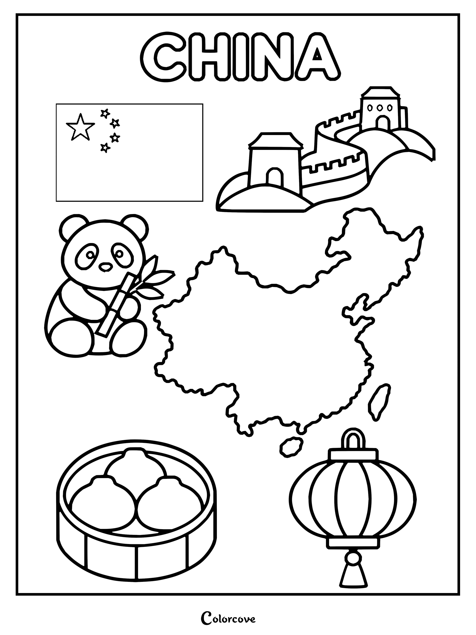
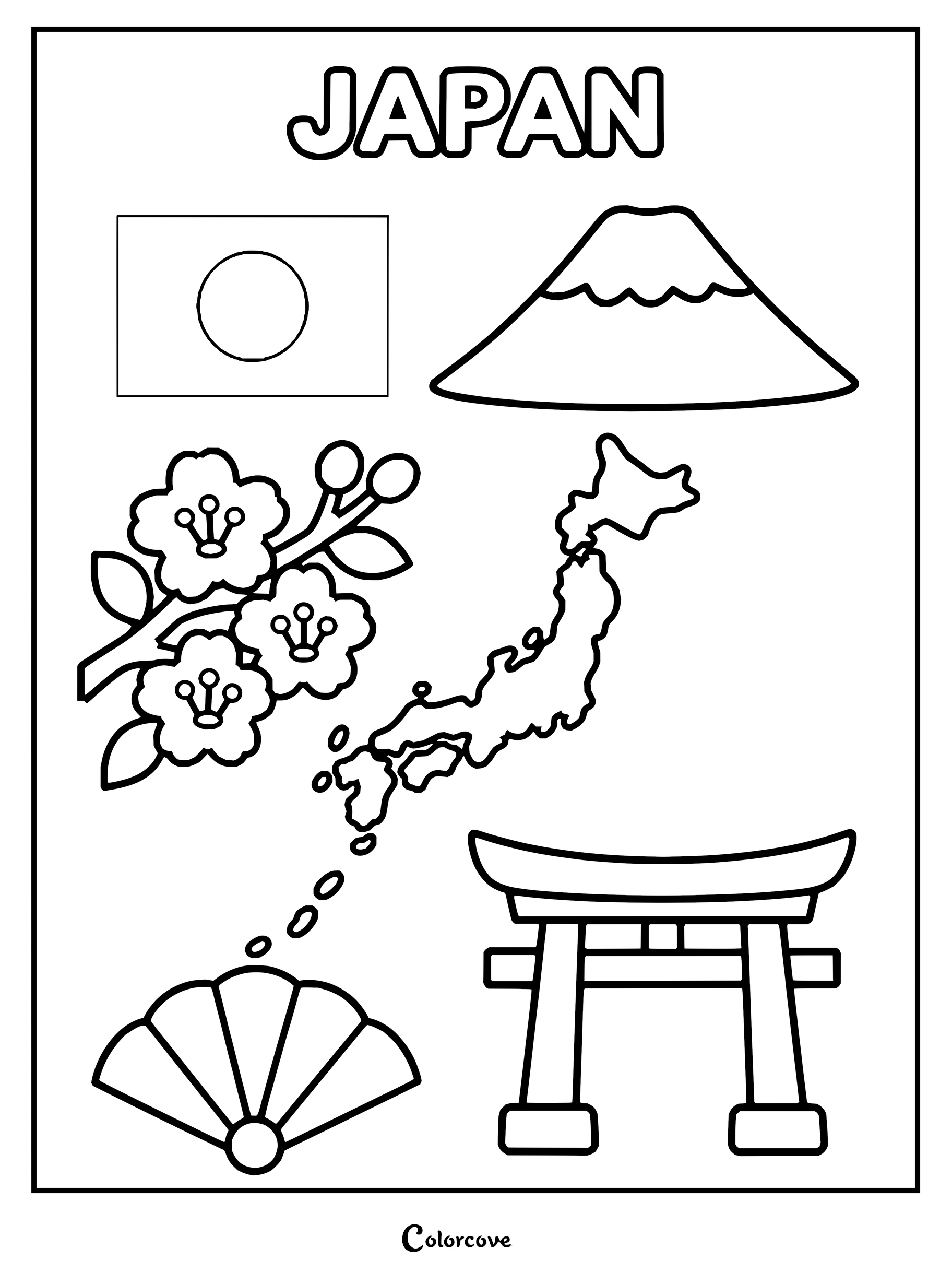
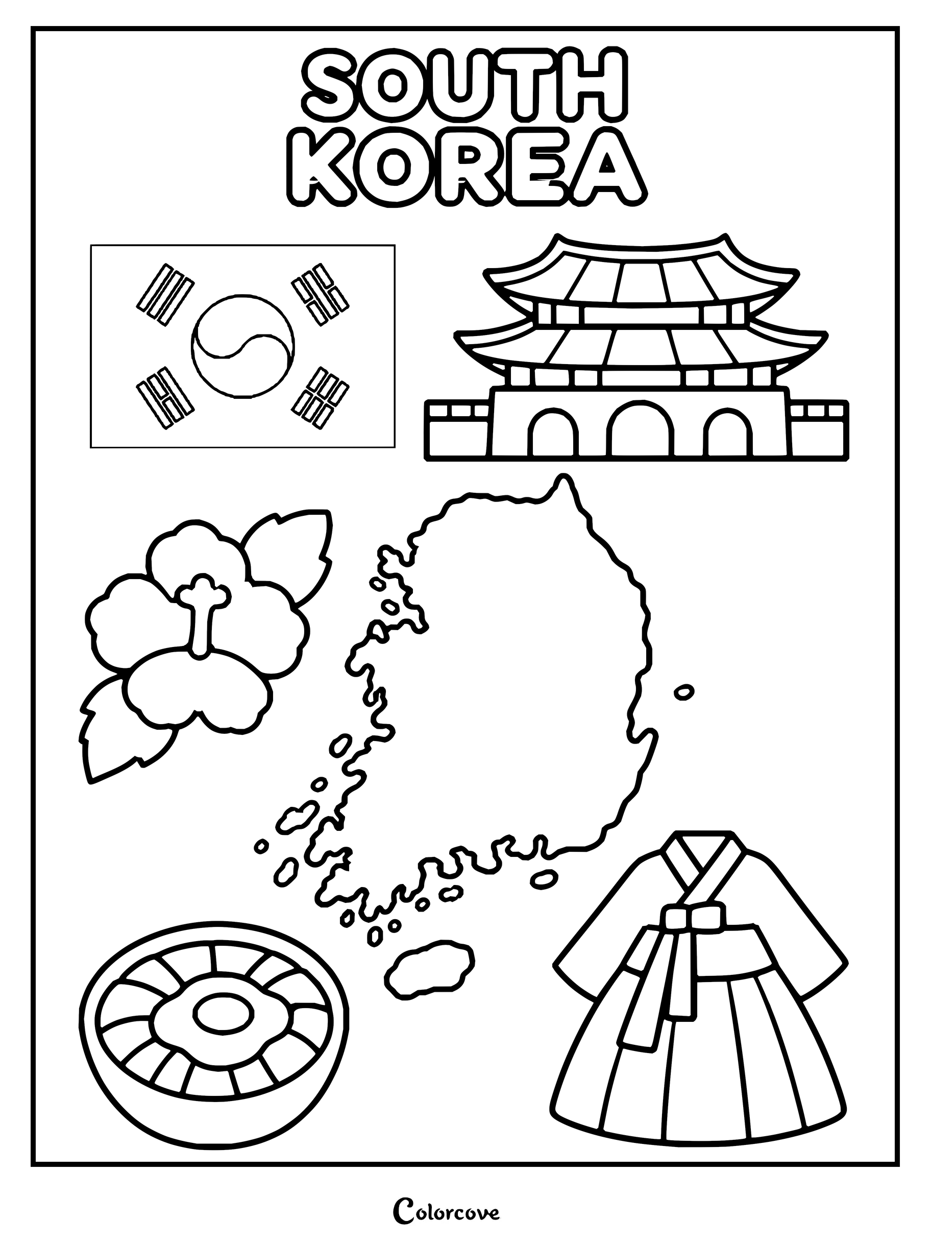
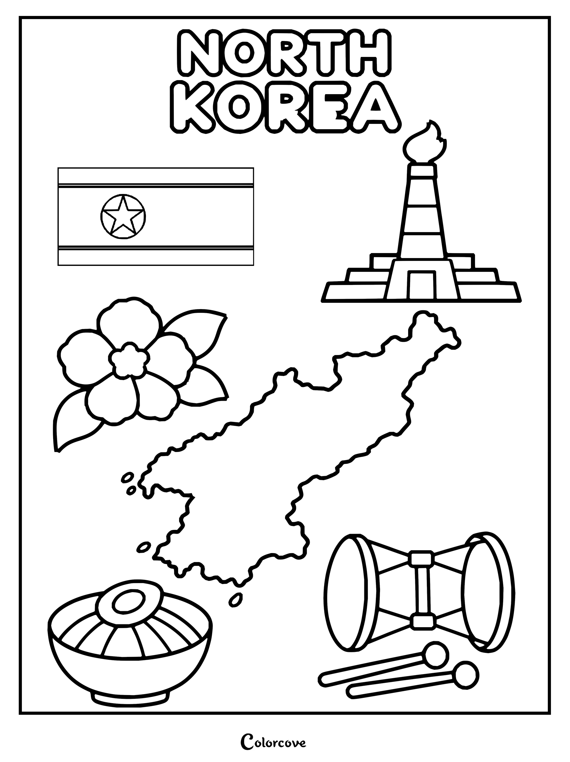
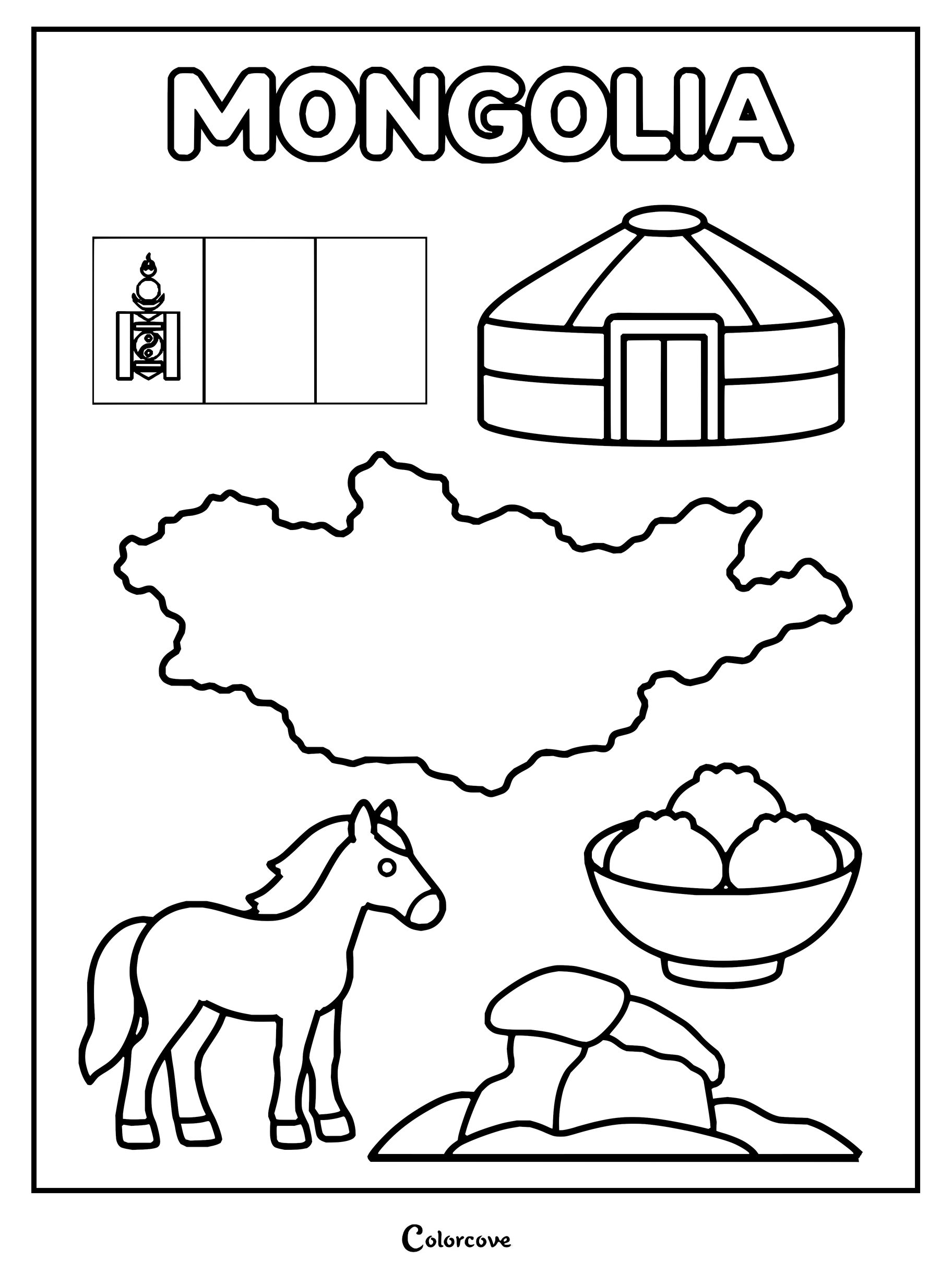
Explore China with a coloring page featuring iconic cultural symbols and landmarks.Explore Japanese culture with this educational coloring page of iconic landmarks.Discover cultural symbols on this South Korea coloring page.Color North Korea with its flag, national flower, map, and cultural icons.Educational coloring sheet featuring the flag, map, and cultural symbols of Mongolia.
Southeast Asian Nations
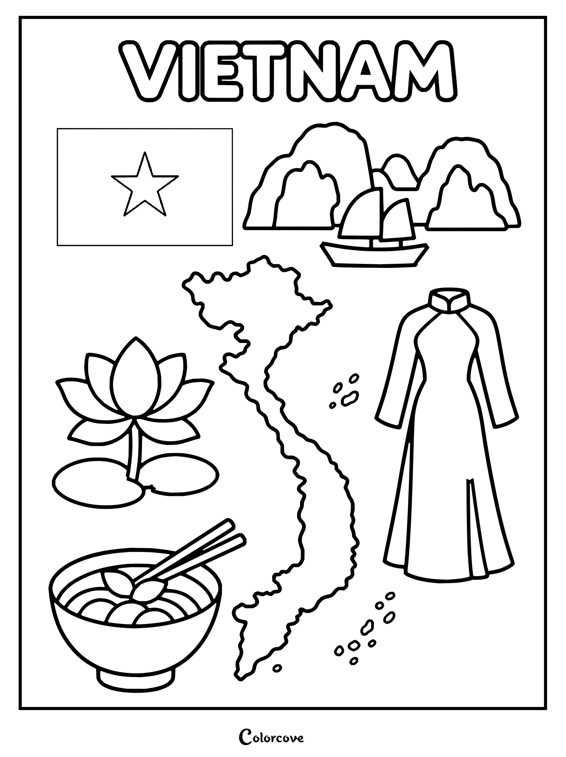
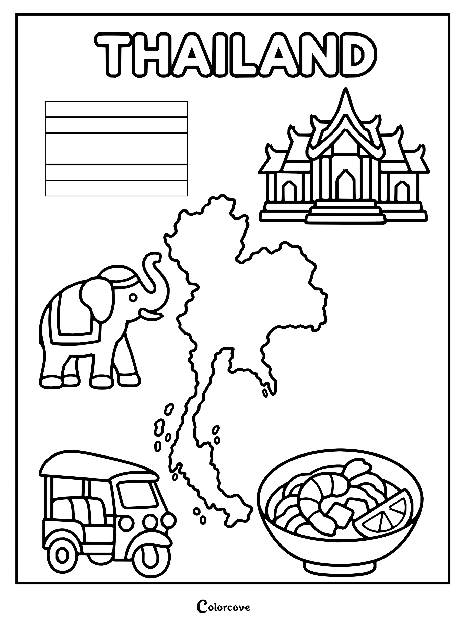
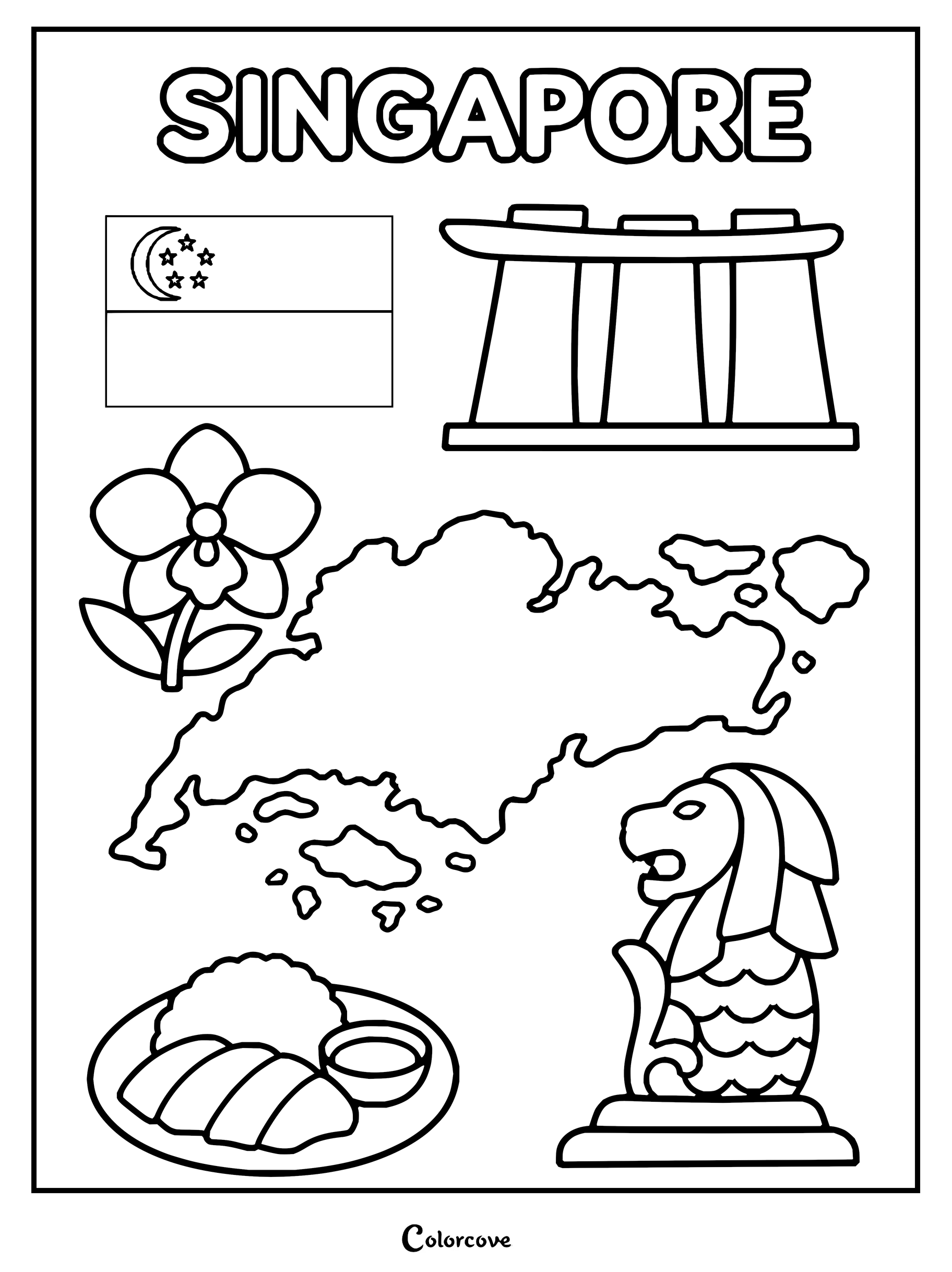
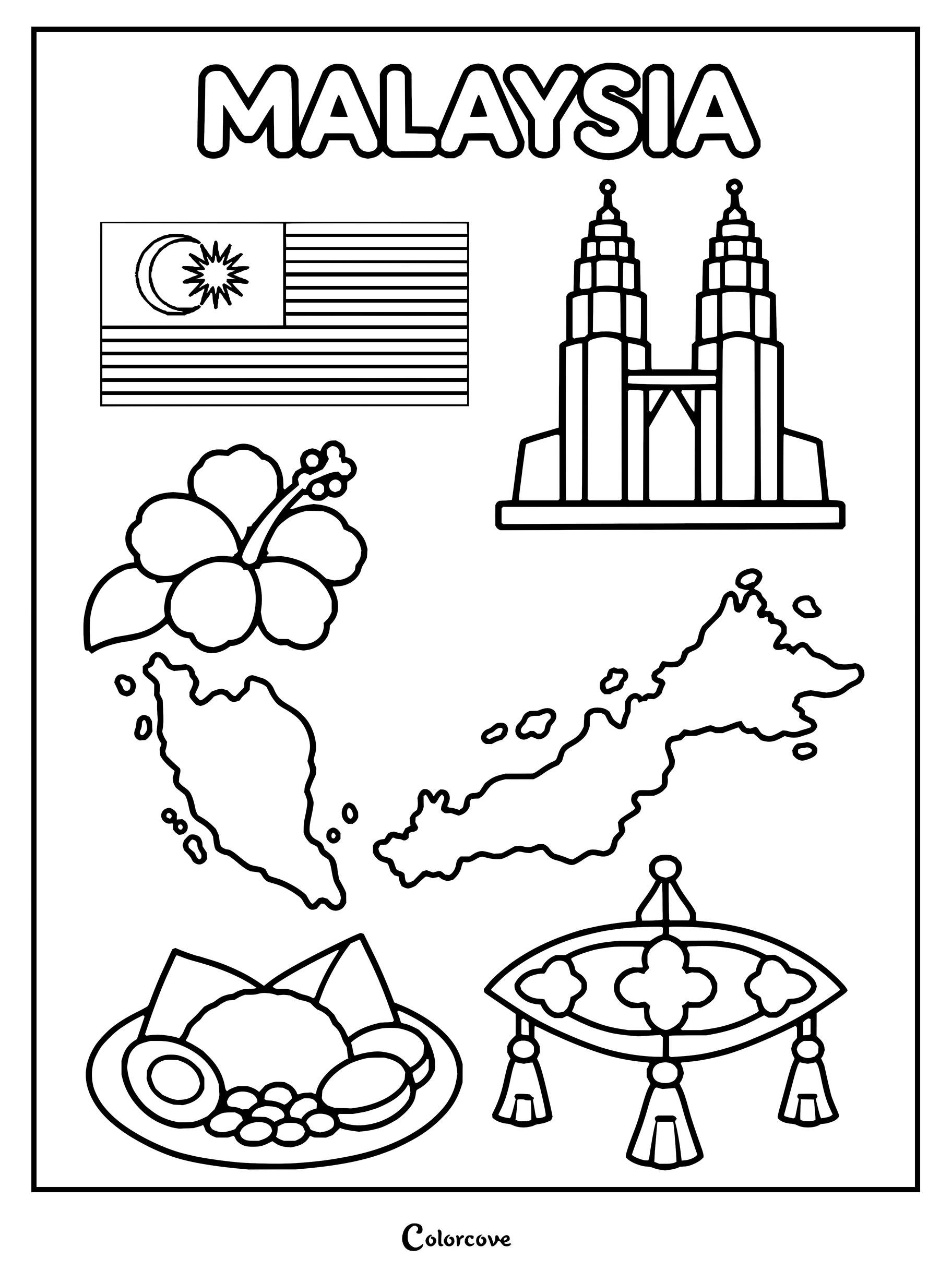
Travel across lush tropical rainforests, sprawling archipelago chains, and ancient stone temple complexes. Vibrant jade greens, shimmering golds, and floral pastels make every equatorial coloring page come alive with striking regional warmth.
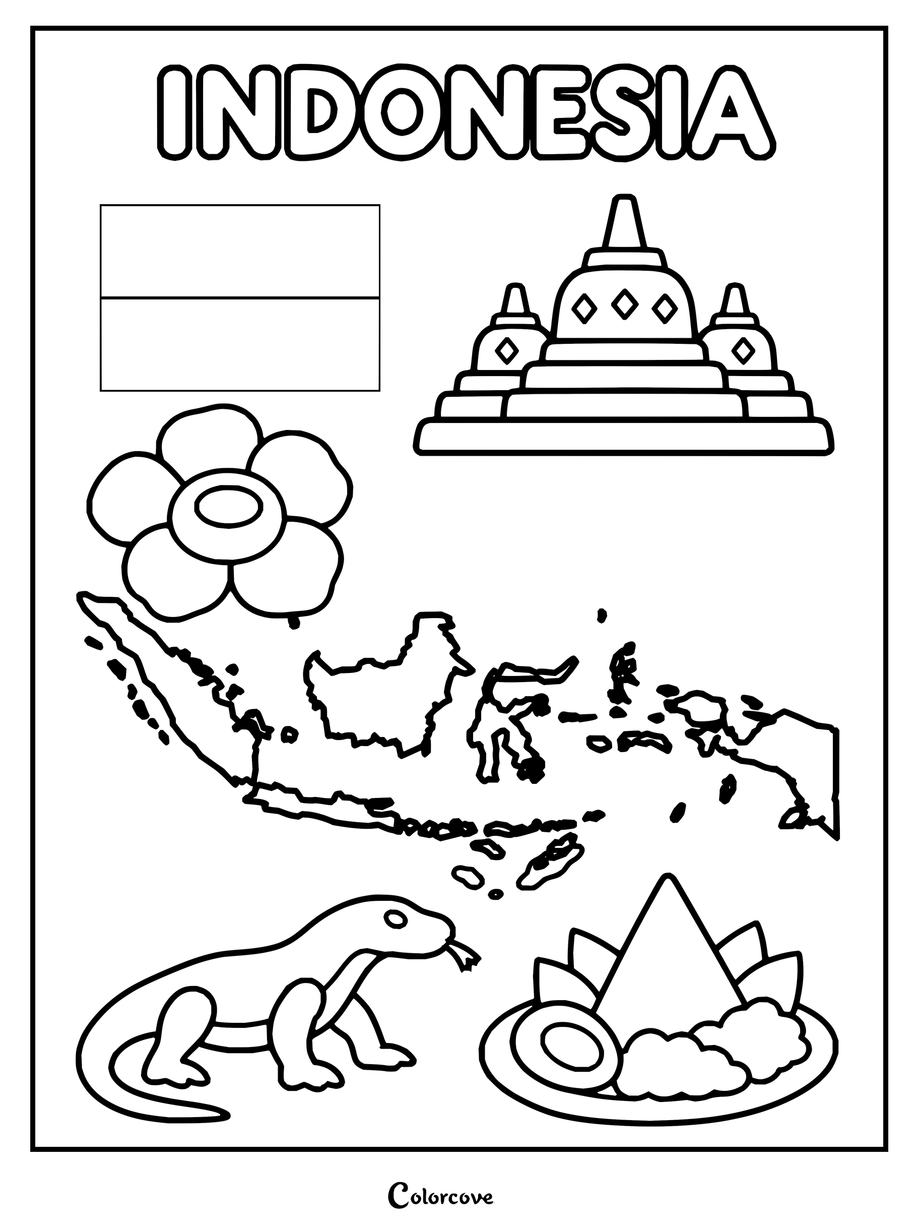
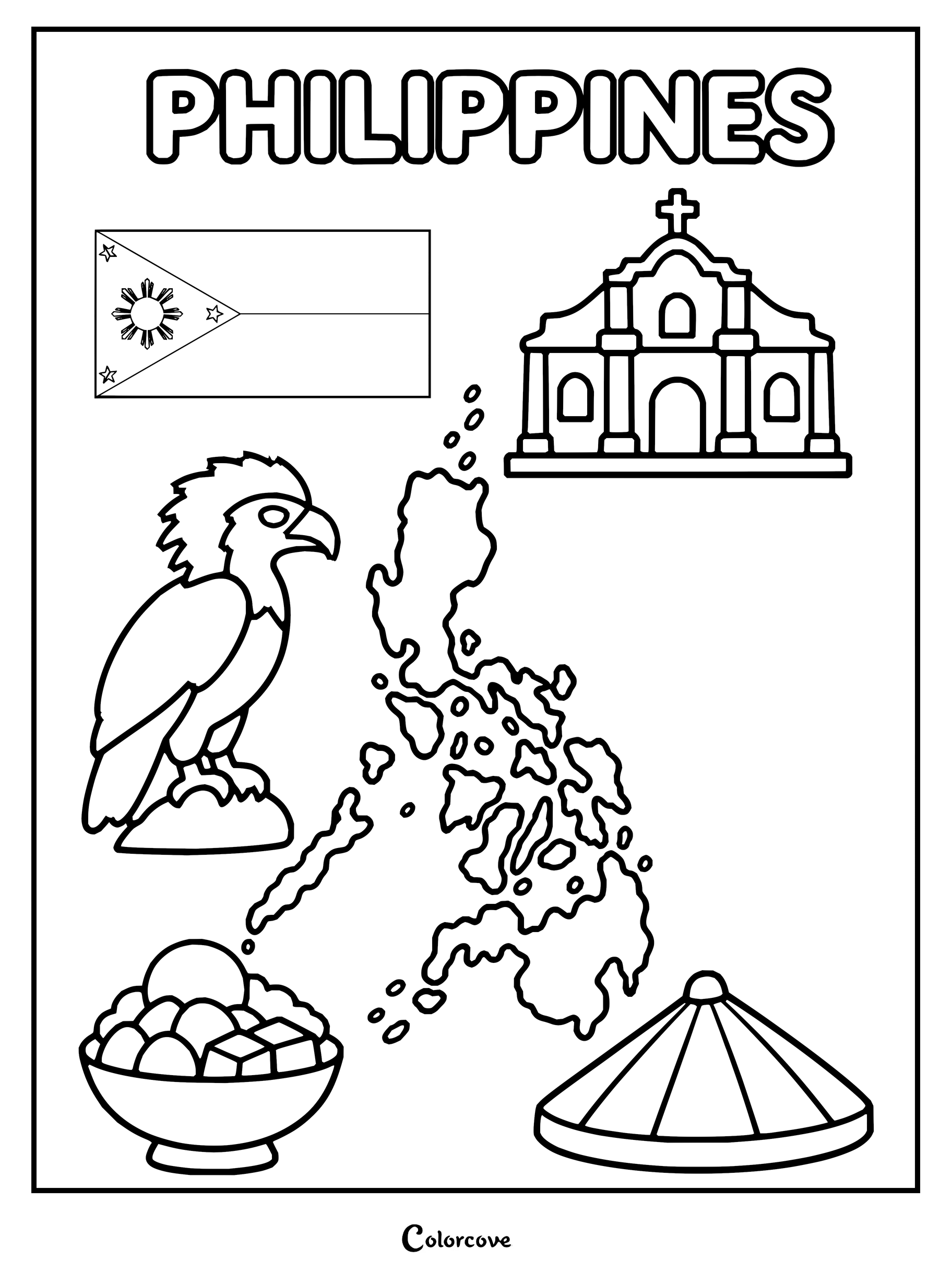
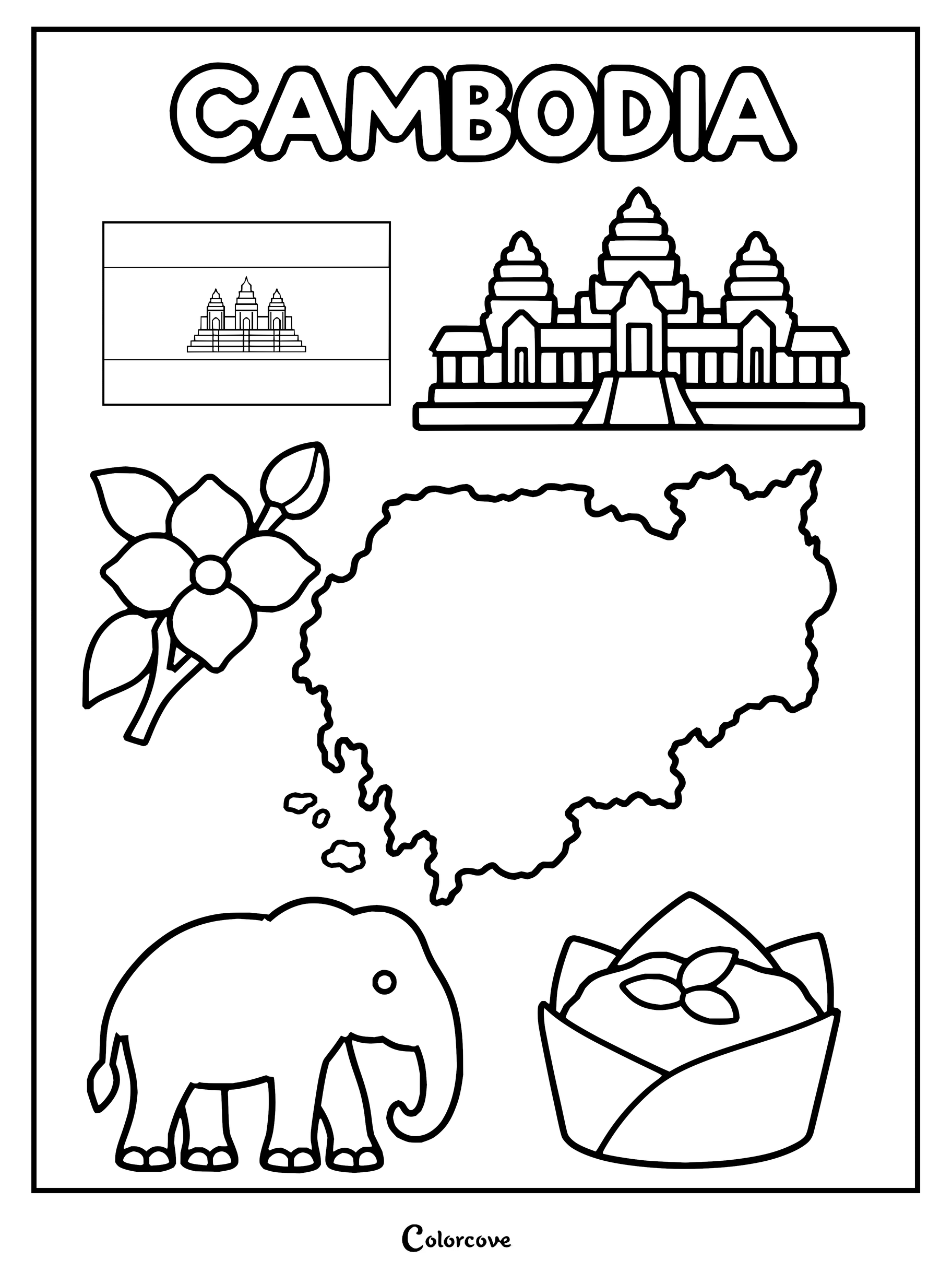
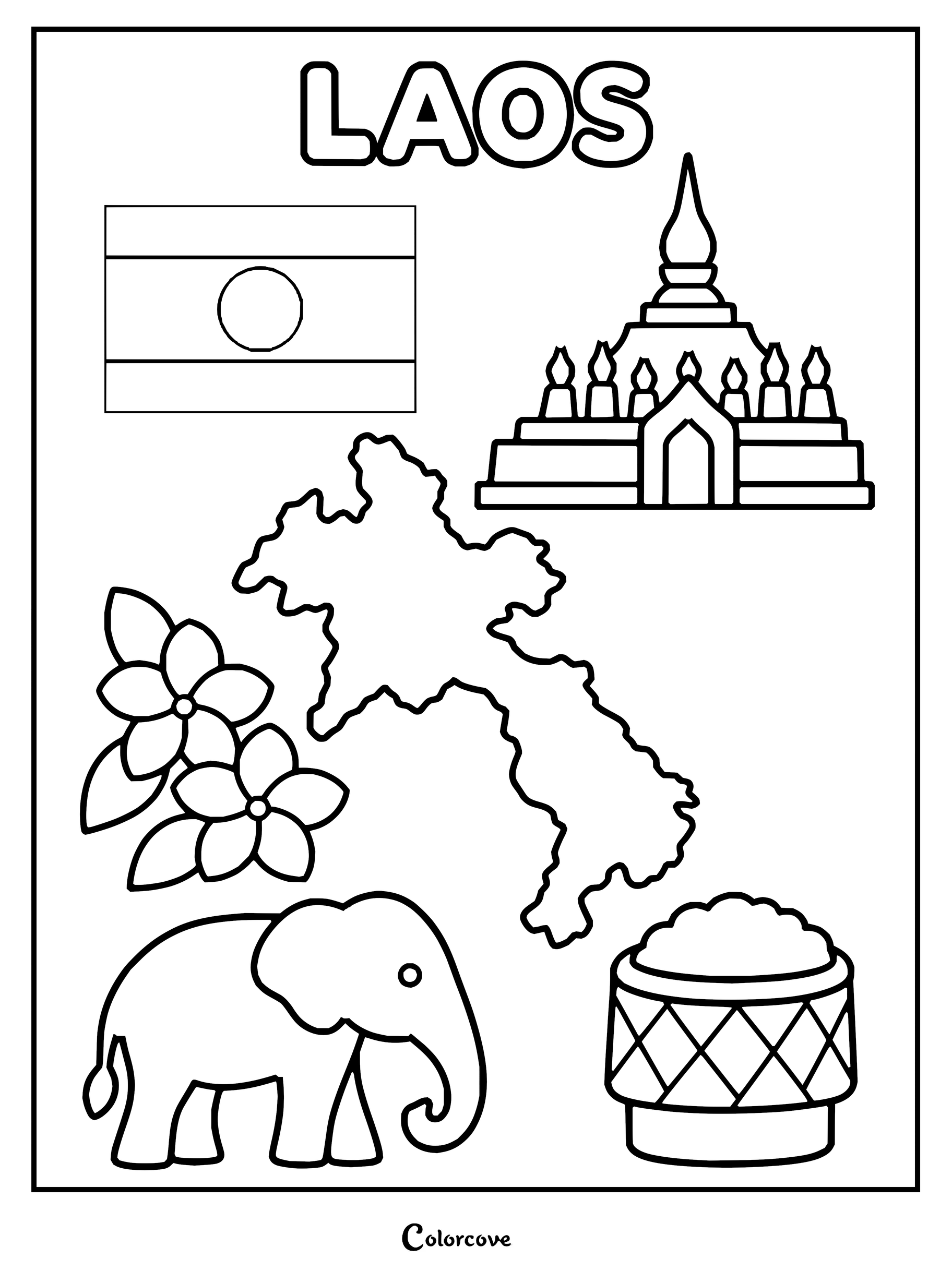
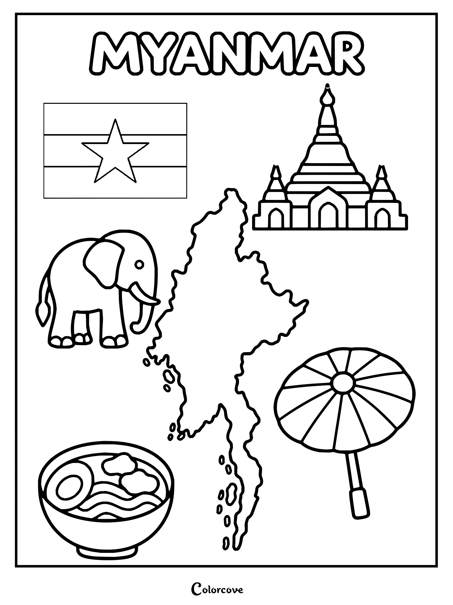
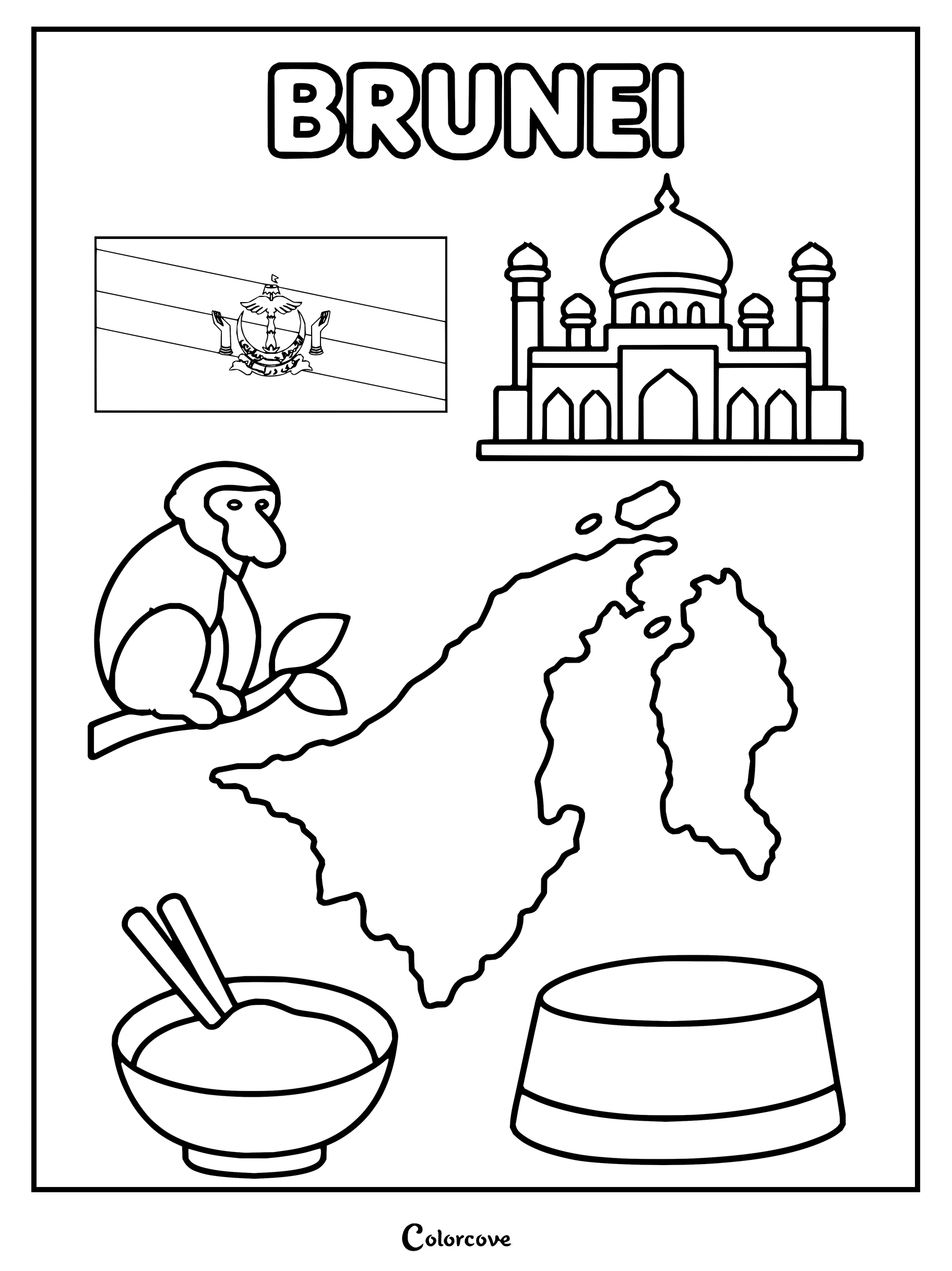
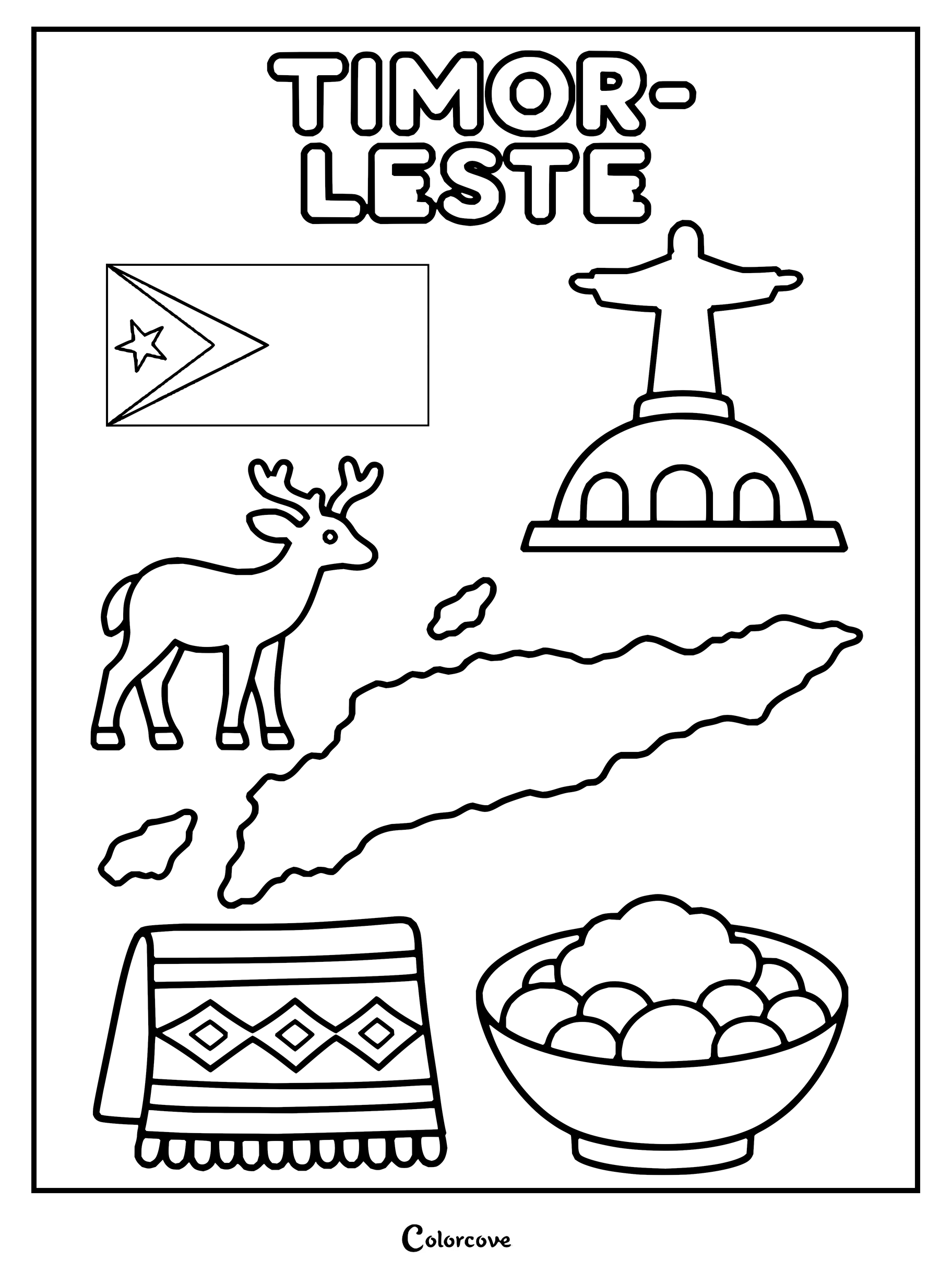
Explore Vietnamese culture with iconic landmarks, traditional clothing, and national symbols.Explore Thailand with traditional landmarks, a map, and cultural icons.Explore Singapore with symbols like the Merlion and national orchid.Discover Malaysia featuring iconic cultural and national symbols.Explore Indonesian culture with symbols like the flag, Borobudur, and Komodo dragon.Explore the vibrant culture of the Philippines with this detailed coloring page.Explore Cambodia with this printable featuring iconic cultural landmarks.Coloring page showing iconic cultural and geographical symbols of Laos.Coloring page featuring icons and map of Myanmar.Discover national symbols of Brunei with this educational coloring page.Explore Timor-Leste with symbols like its flag, map, and cultural icons.
Fun Fact: According to the United Nations membership roster, there are officially 193 member states and two permanent non-member observer states—the Holy See and the State of Palestine—bringing the widely recognized global total to exactly 195 sovereign countries.
Experience towering snow-capped Himalayan summits, sweeping steppe grasslands, and historic trade crossroads. Fine-tip markers work wonders on each intricate coloring page to delineate diverse geographic boundaries and river networks.
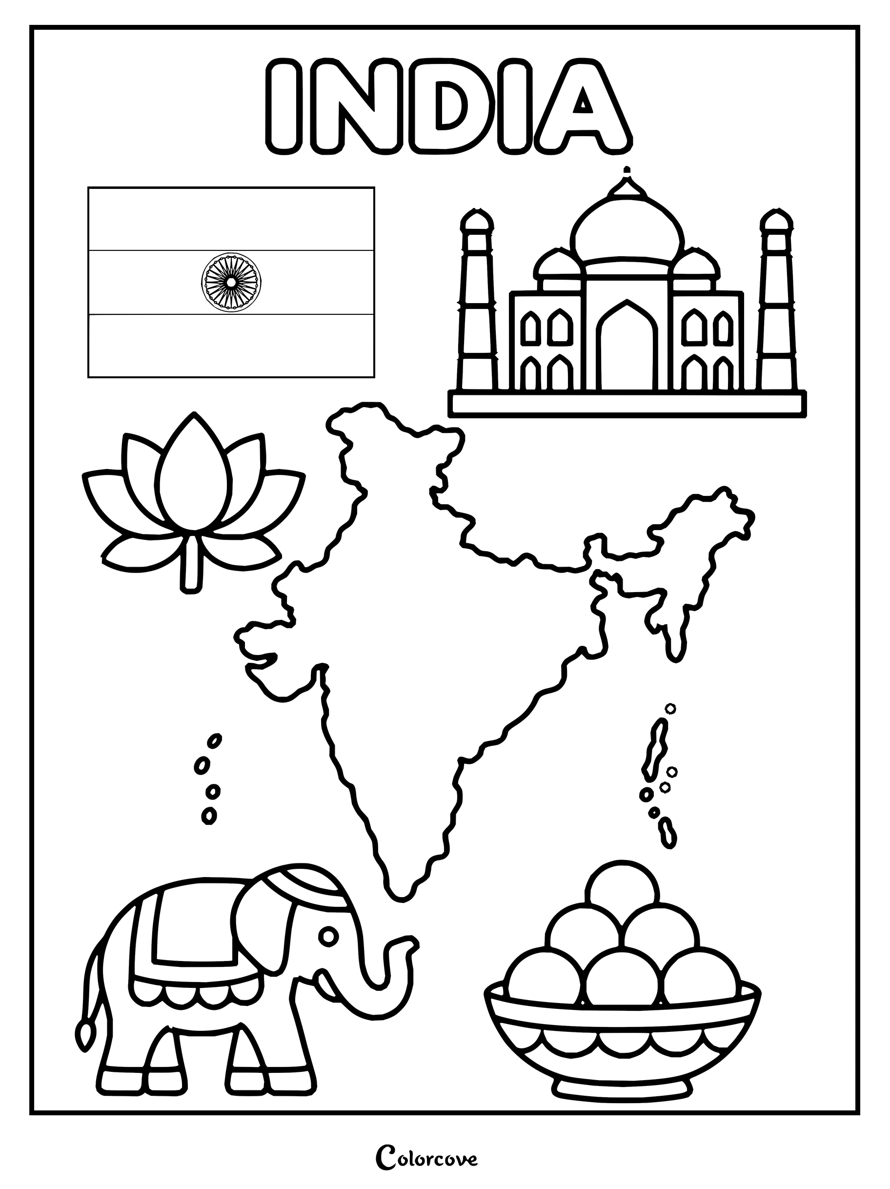
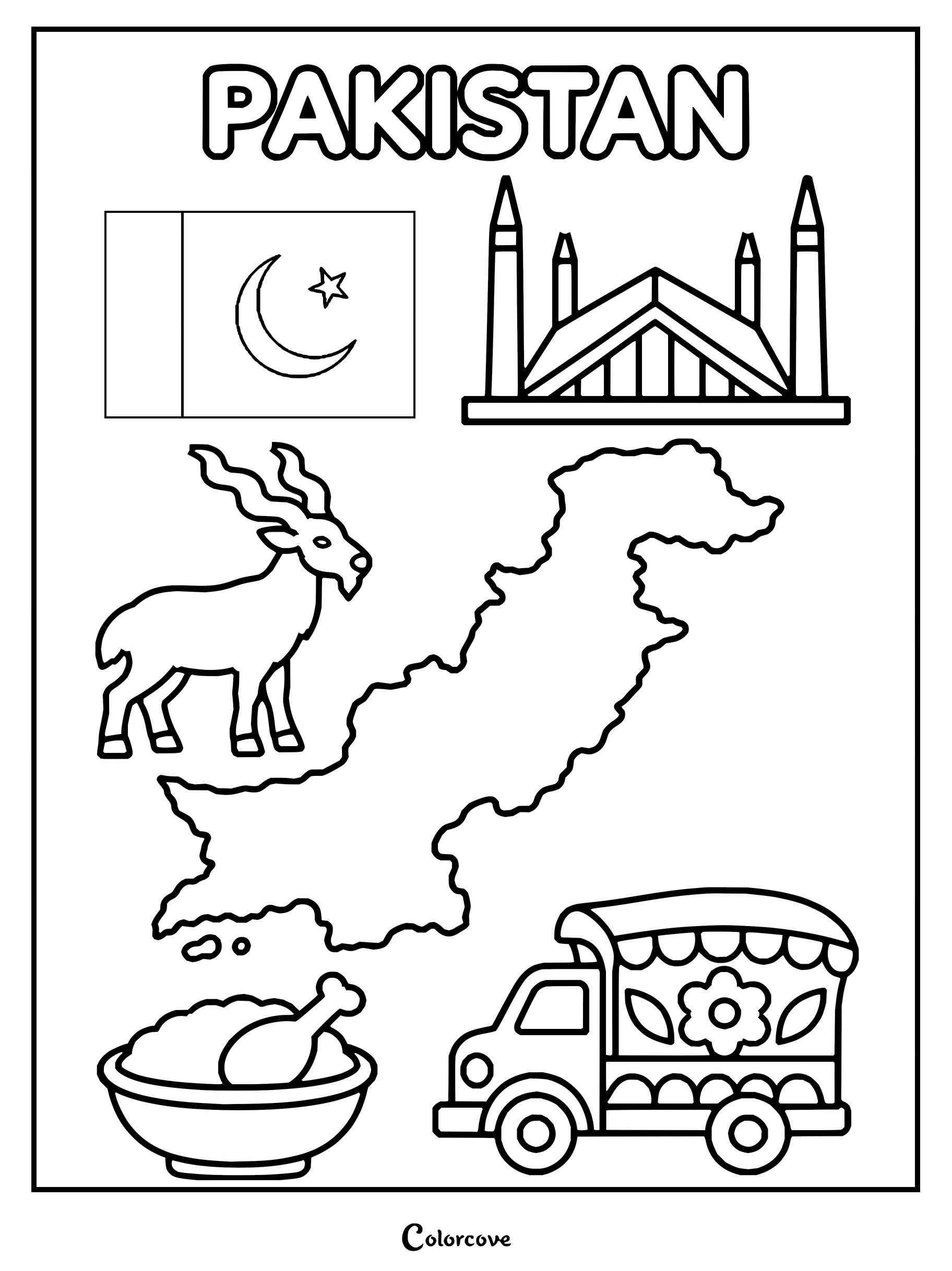
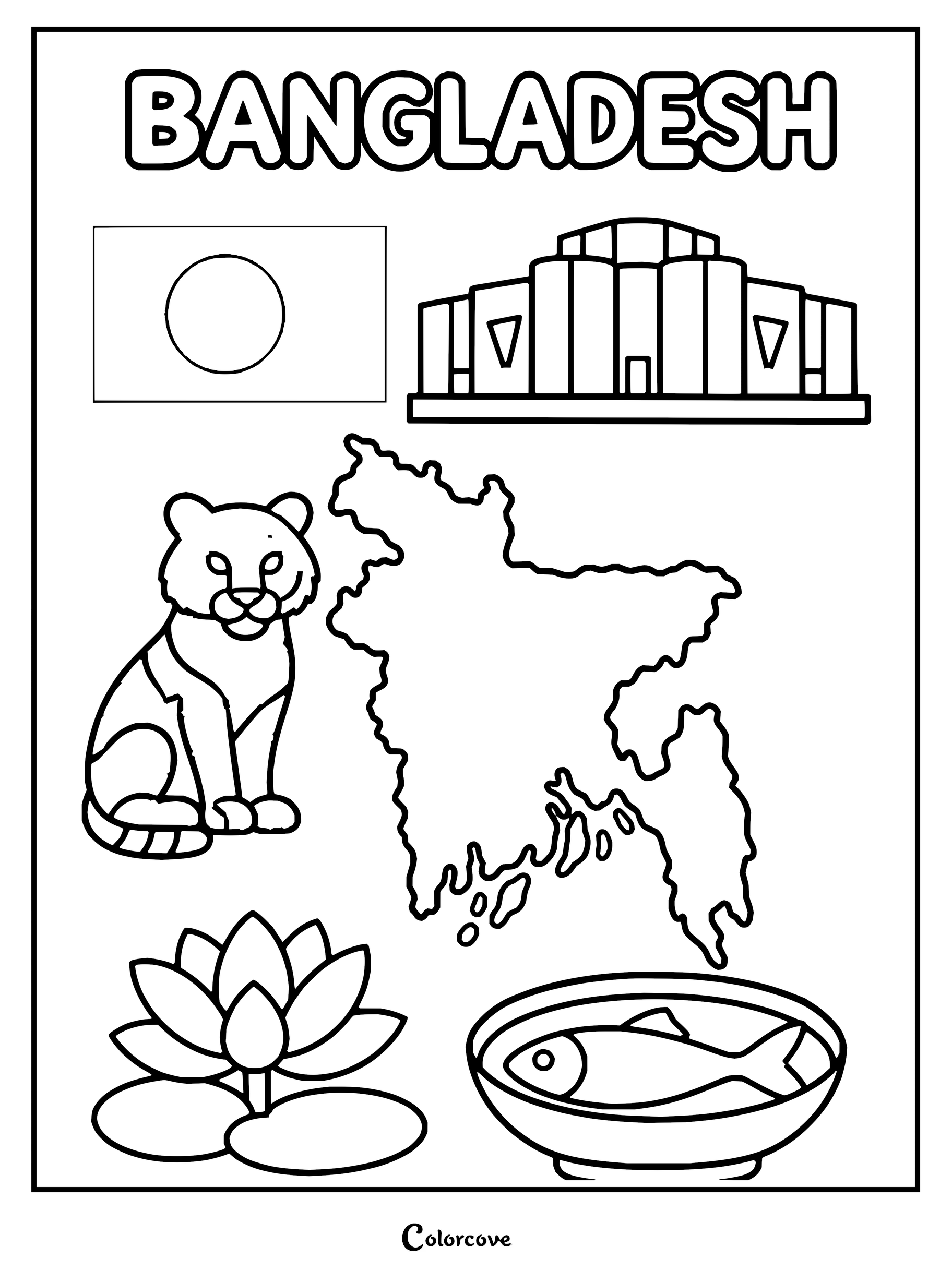
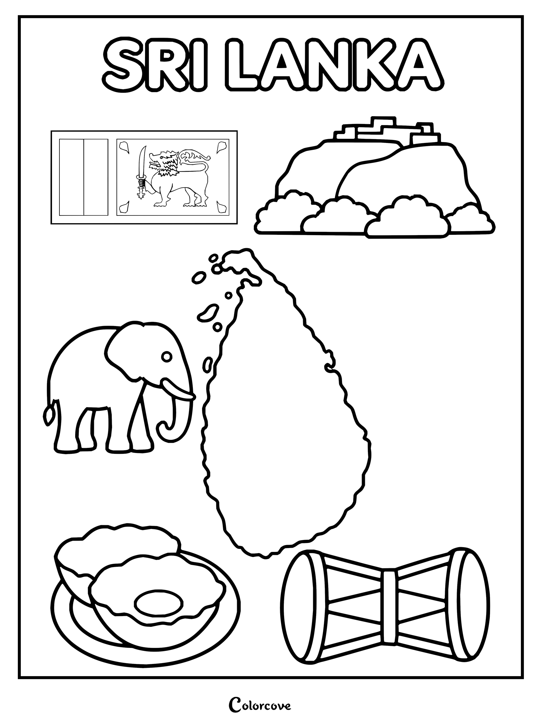
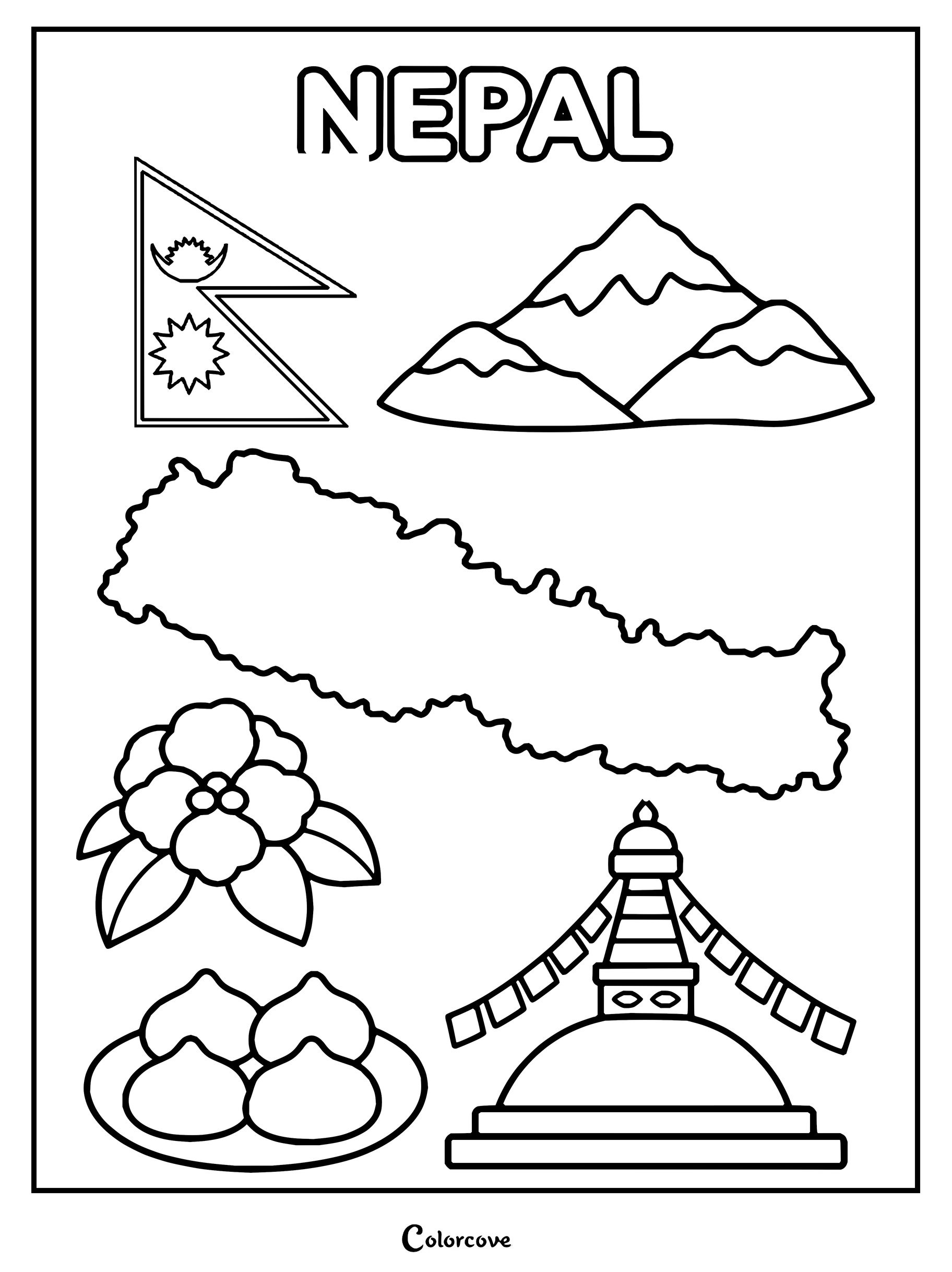
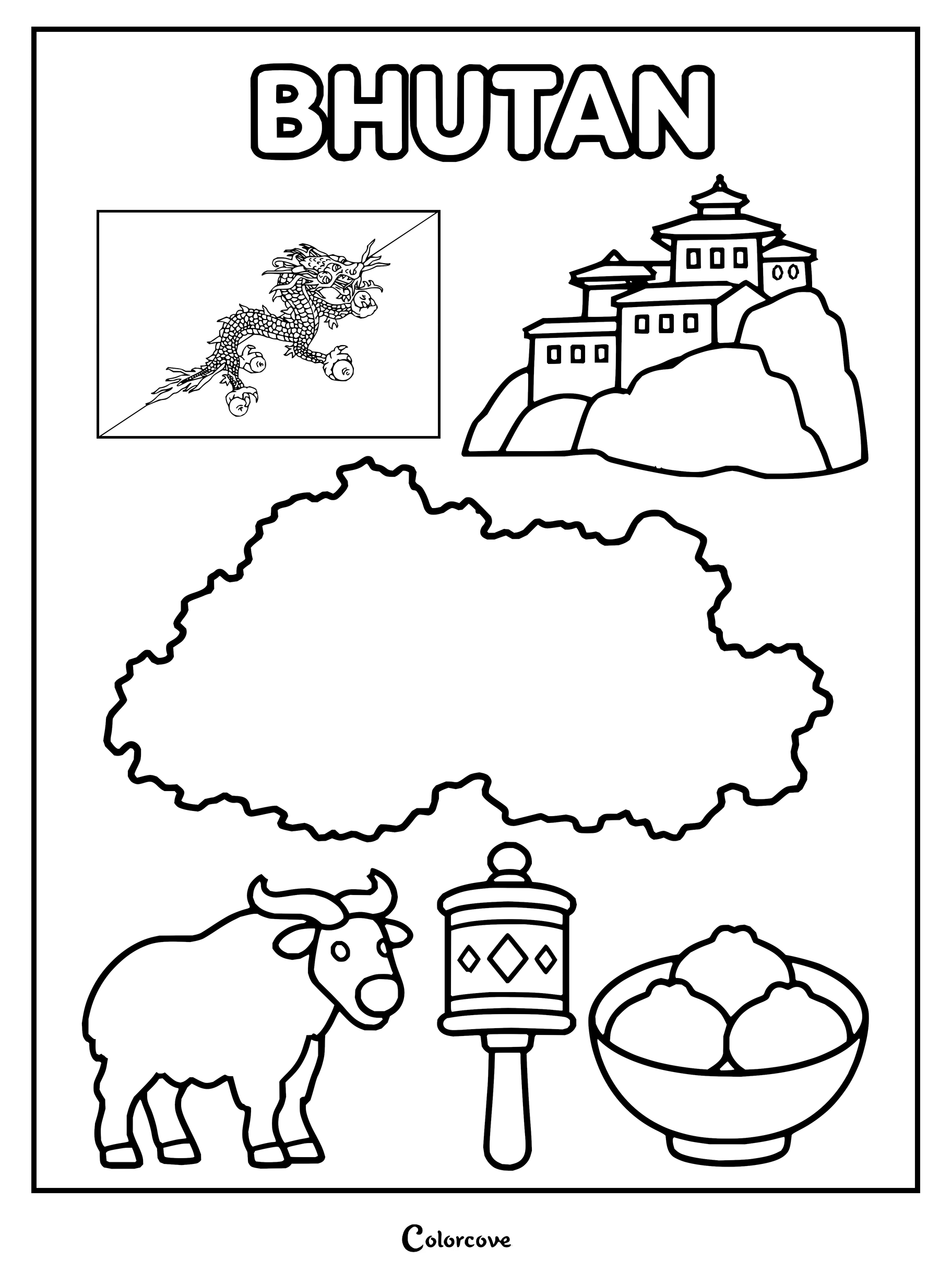
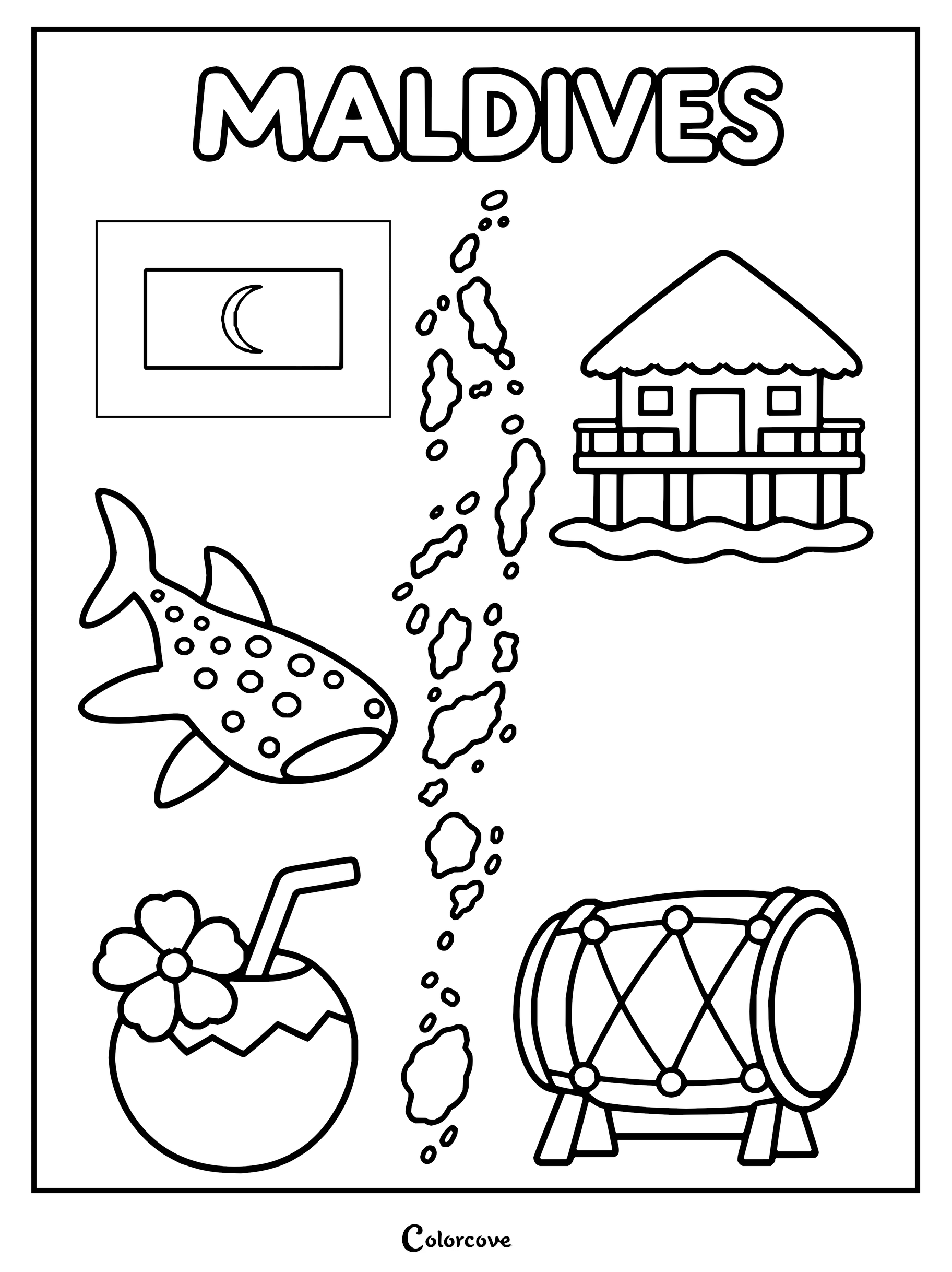
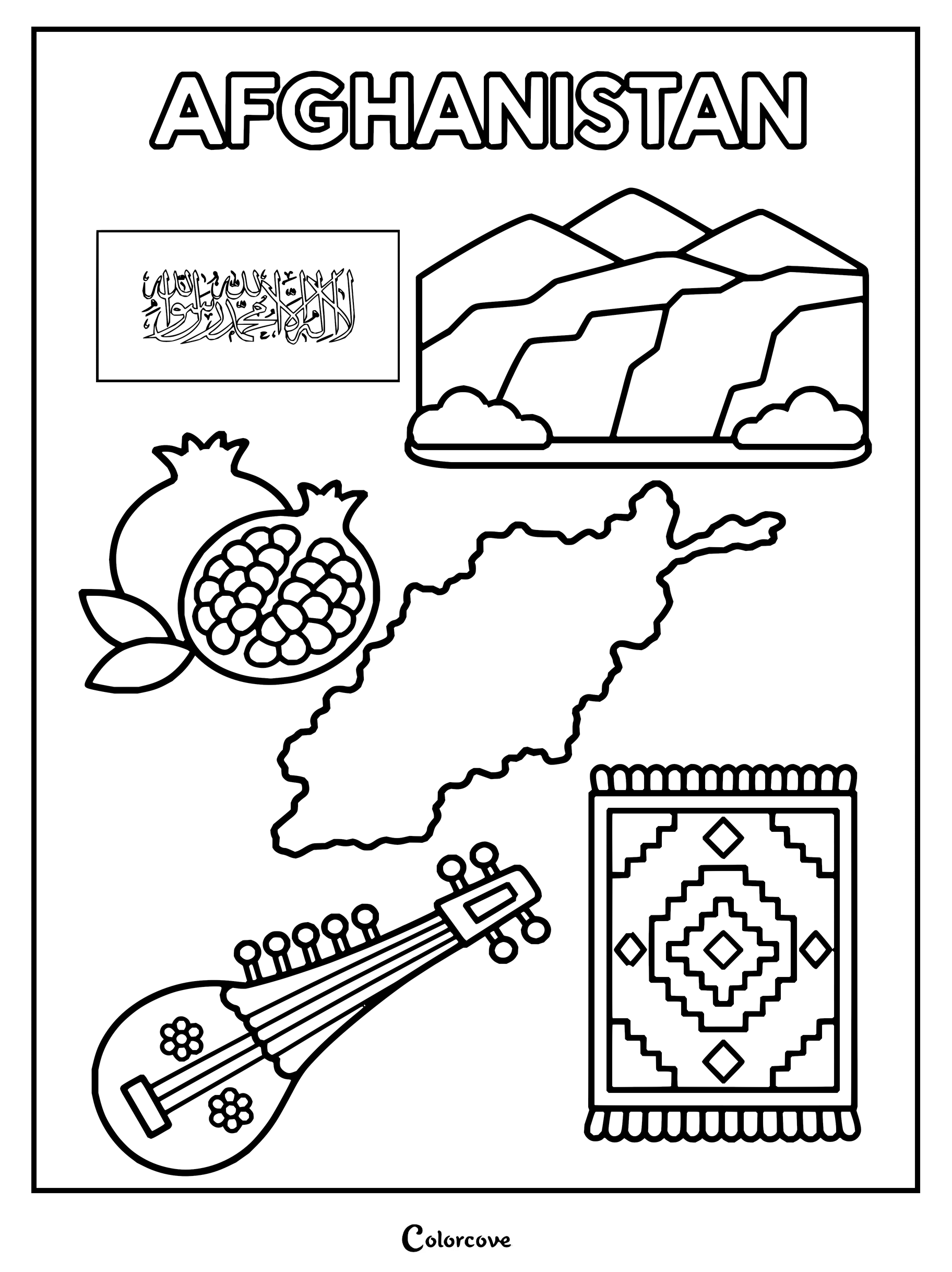
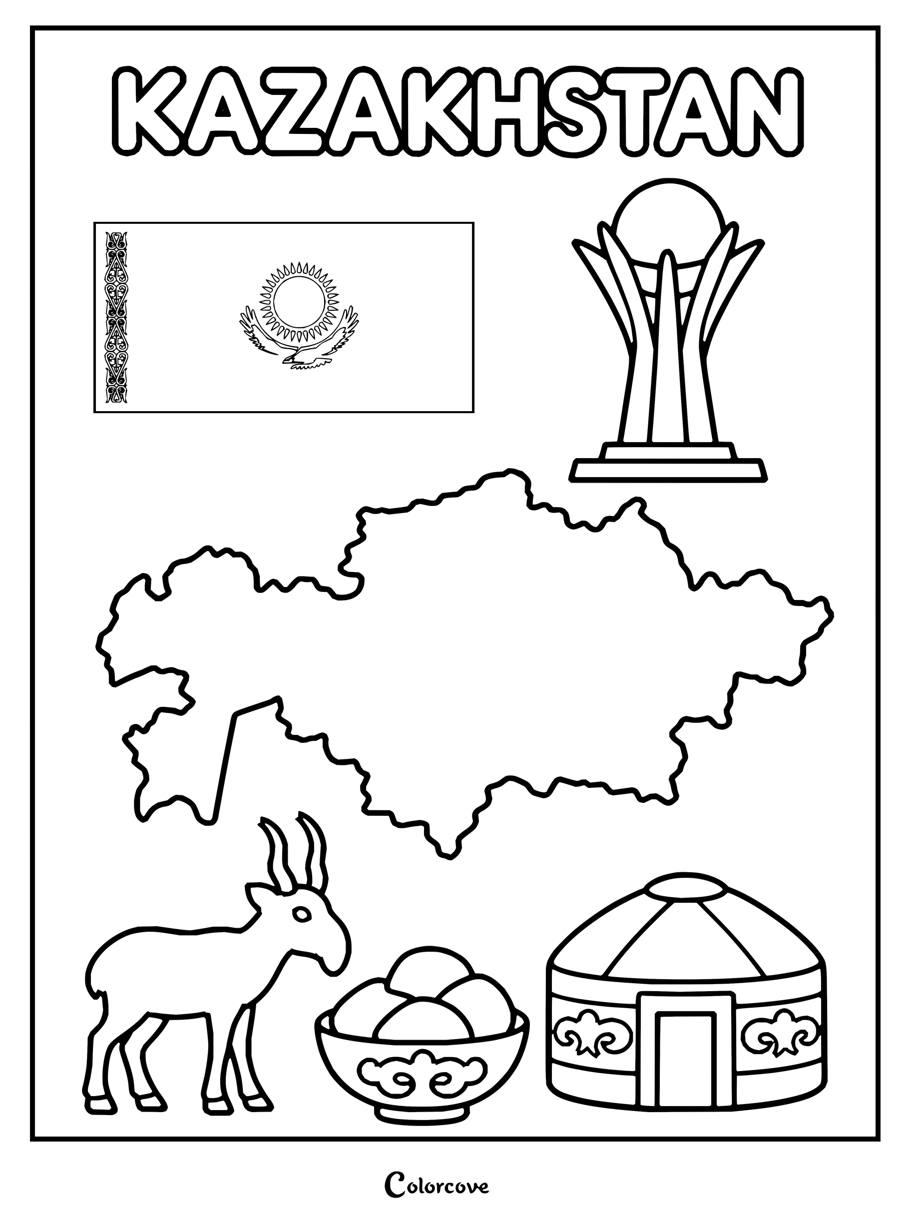
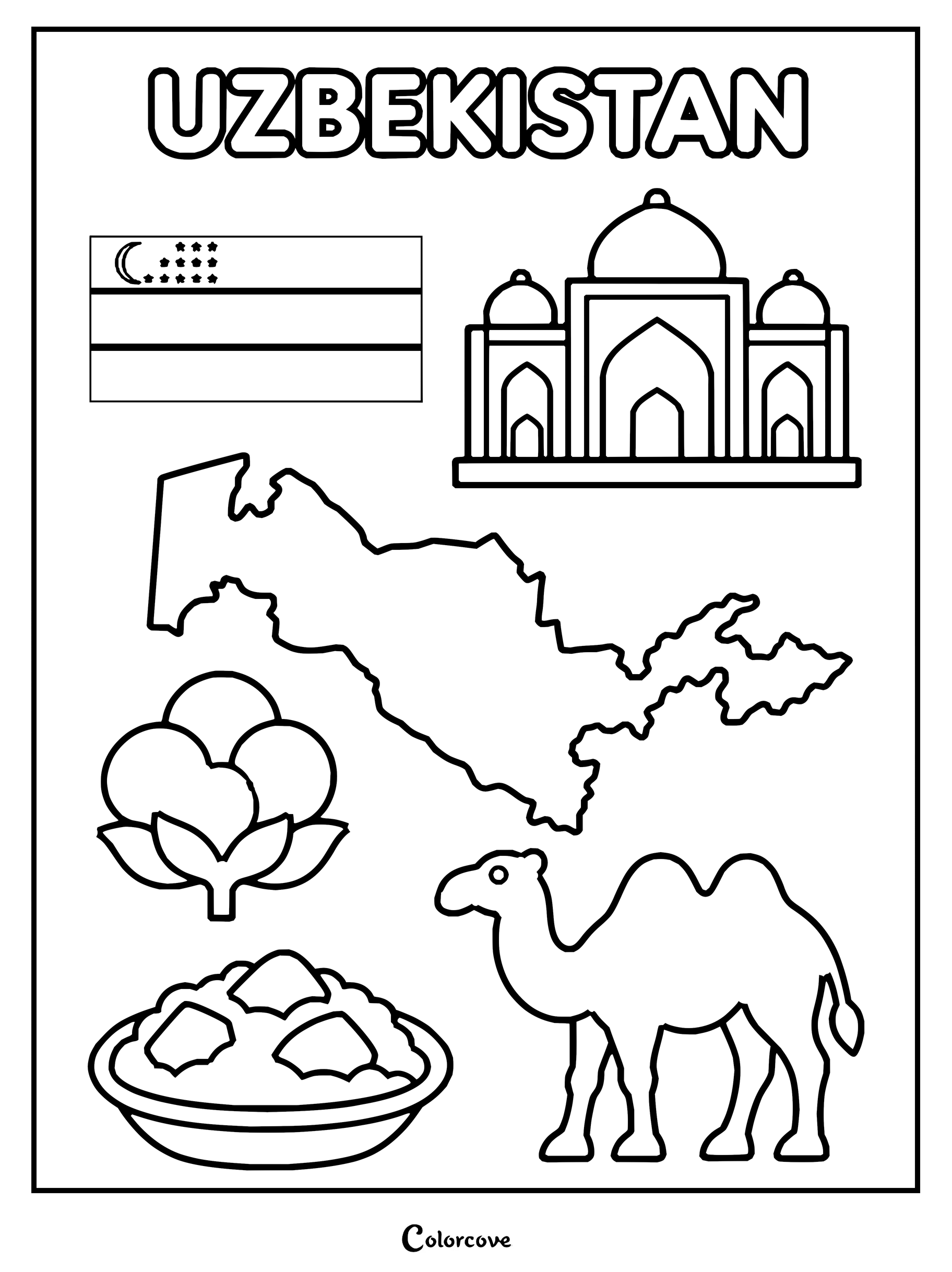
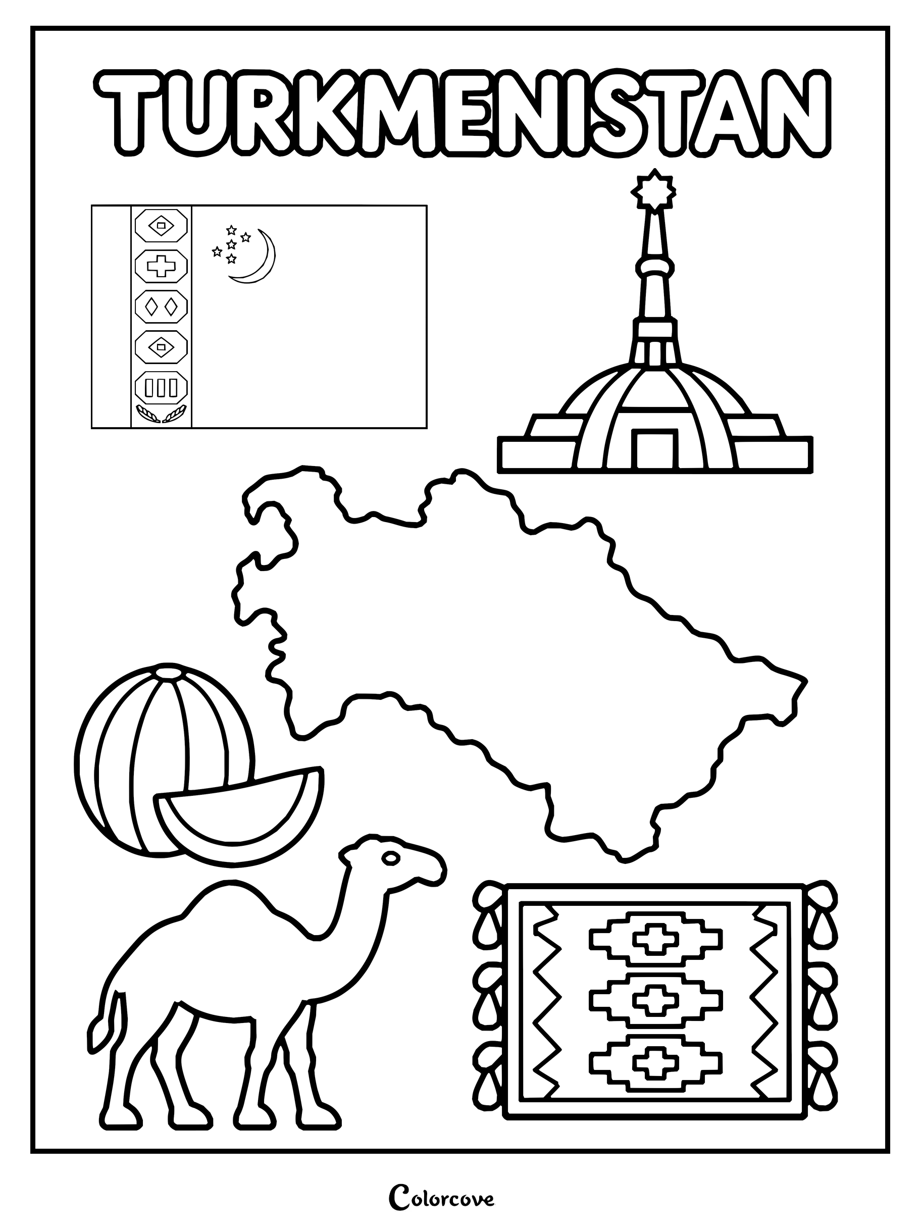
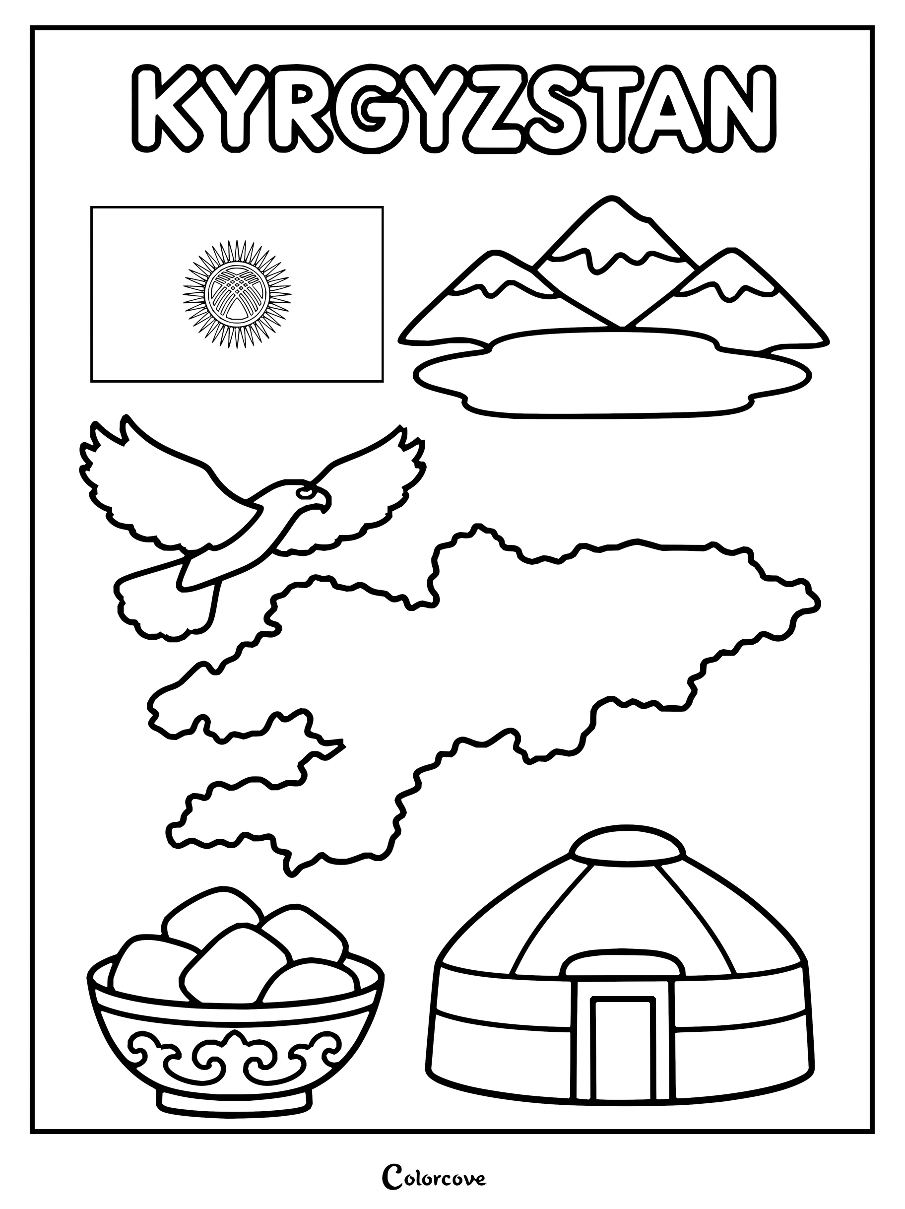
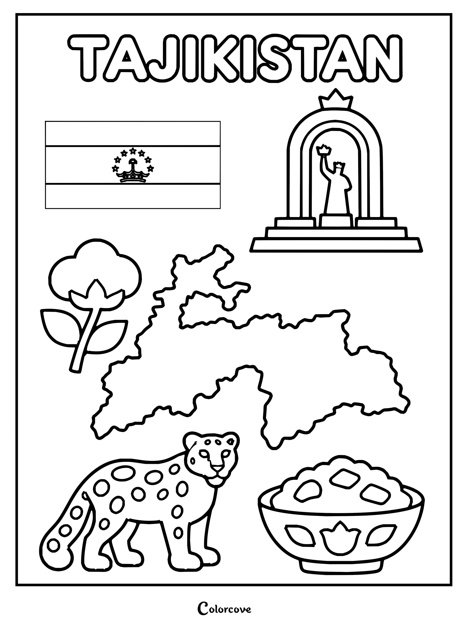
Explore India with symbols like the Taj Mahal, flag, lotus, and elephant.Explore Pakistani culture with this educational coloring page.Explore Bangladesh with this educational coloring page.Sri Lanka coloring page featuring iconic national symbols and cultural landmarks.Nepal map with national symbols for coloring.Explore Bhutan with a coloring page featuring its iconic cultural symbols and landmarks.Explore the tropical paradise of Maldives with this fun printable coloring sheet.Coloring page showing Afghanistan with its flag, map, and cultural symbols.Educational coloring sheet featuring cultural symbols, map, and national flag of Kazakhstan.Explore Uzbekistan with national symbols like the flag, map, and iconic architecture.Explore Turkmenistan with this printable coloring page featuring cultural symbols.Kyrgyzstan symbols including flag, map, yurt, and national landmarks for coloring.Coloring page featuring Tajikistan map, flag, national monument, and snow leopard.
The Middle East
Chart the cradle of civilization through historic desert oases, fertile river valleys, and modern architecture. Sandstone neutrals, bright lapis lazuli, and desert sunset ambers fill every Middle Eastern coloring sheet with dramatic authenticity.
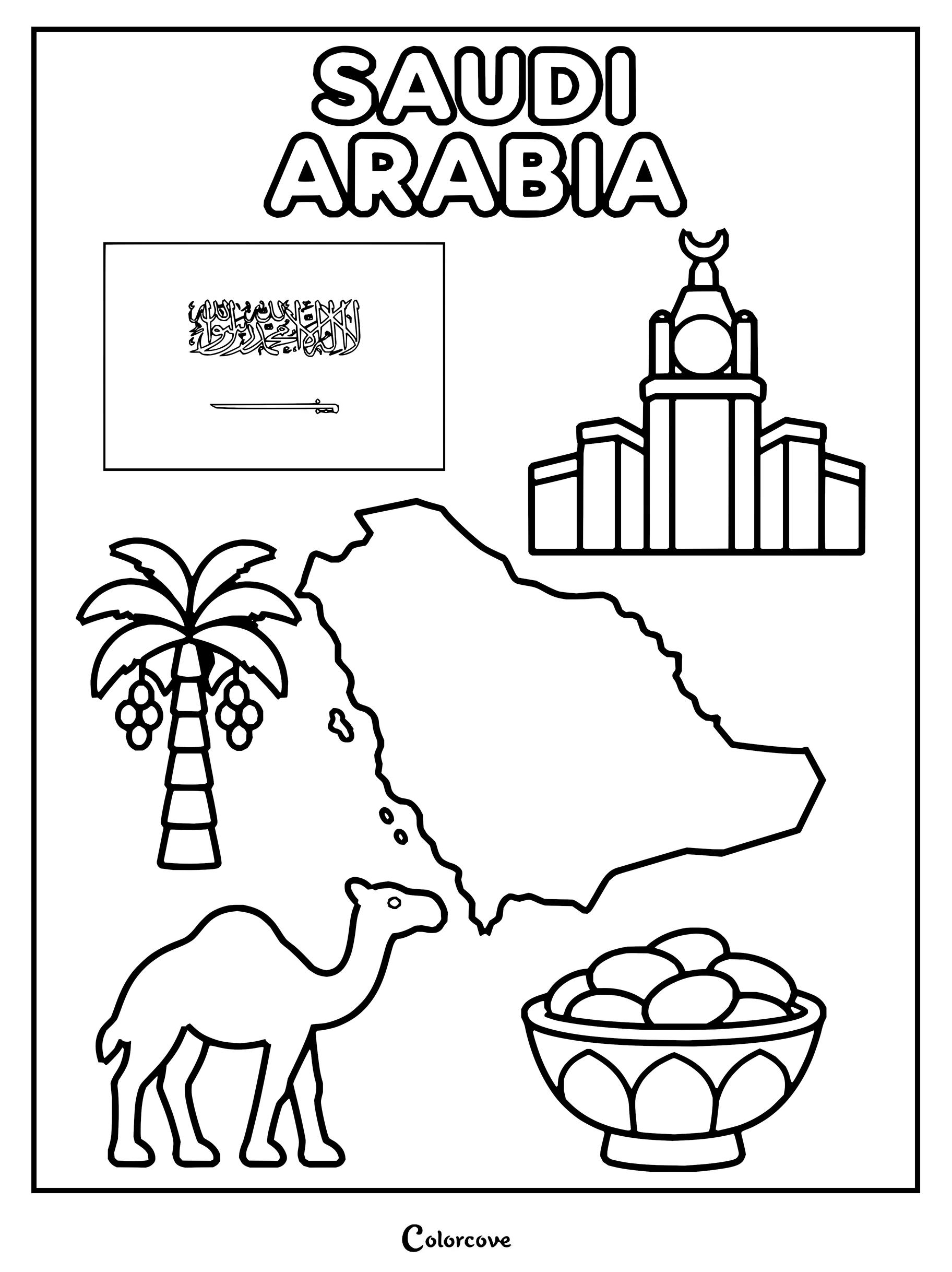
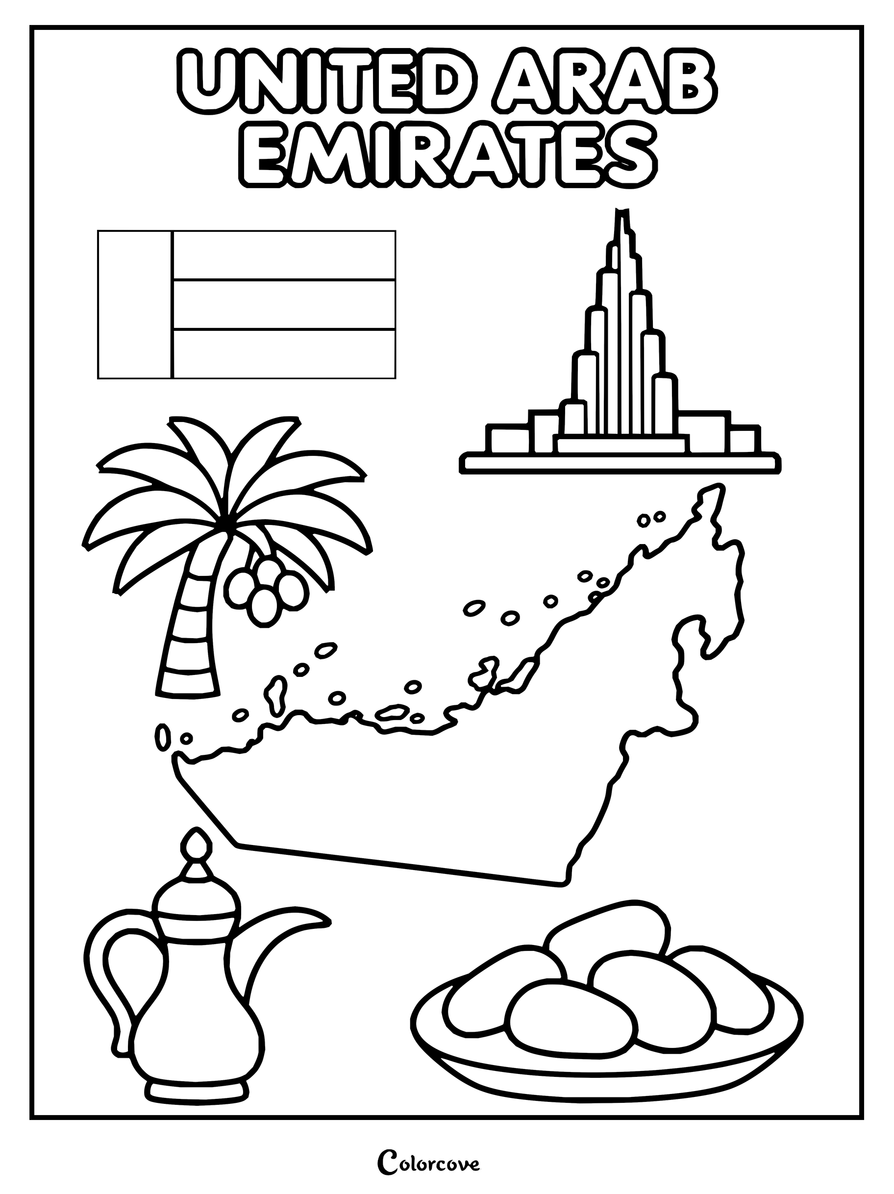
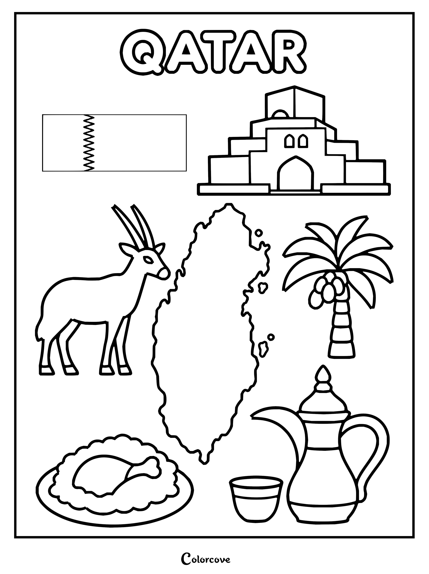
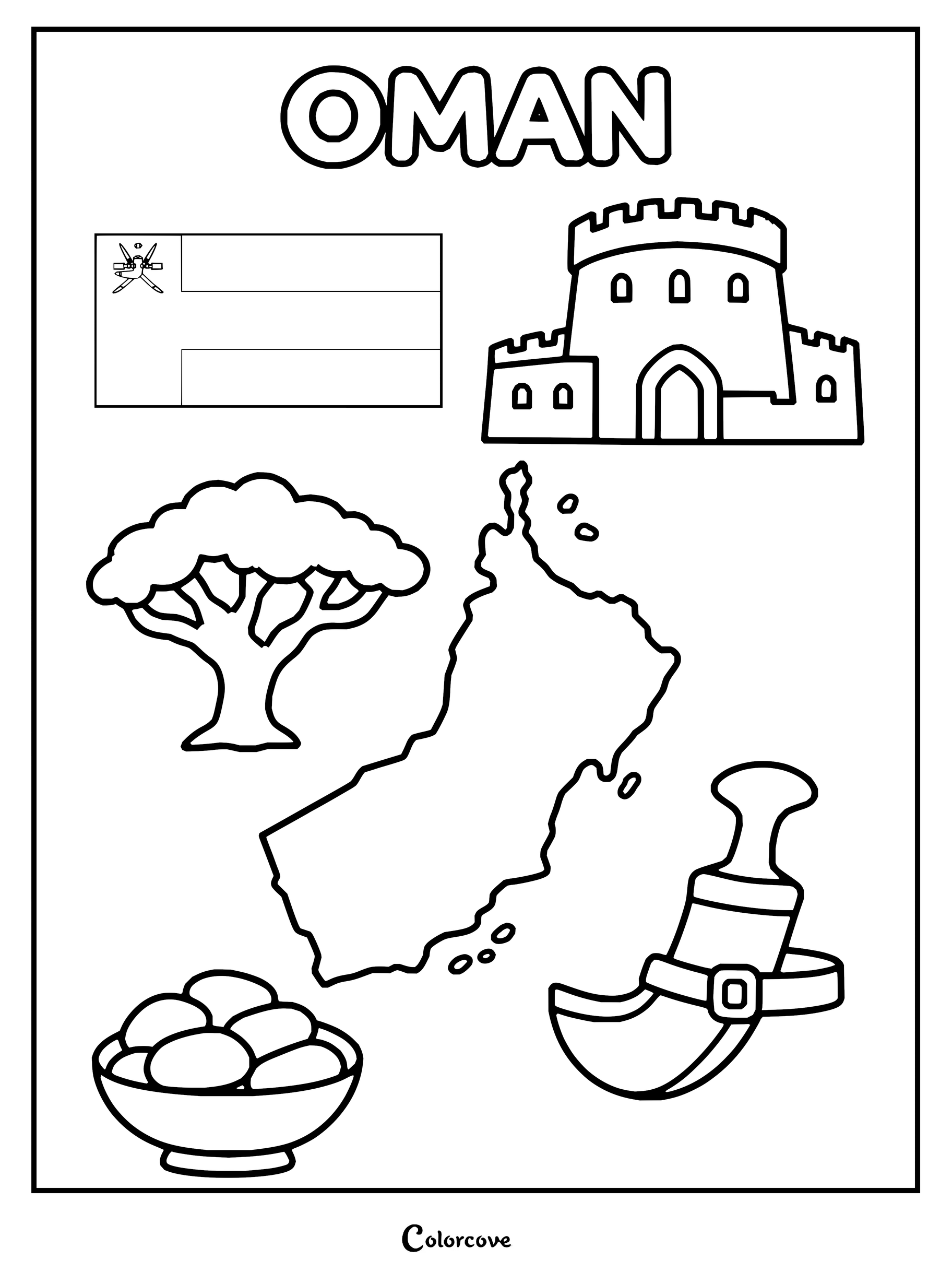
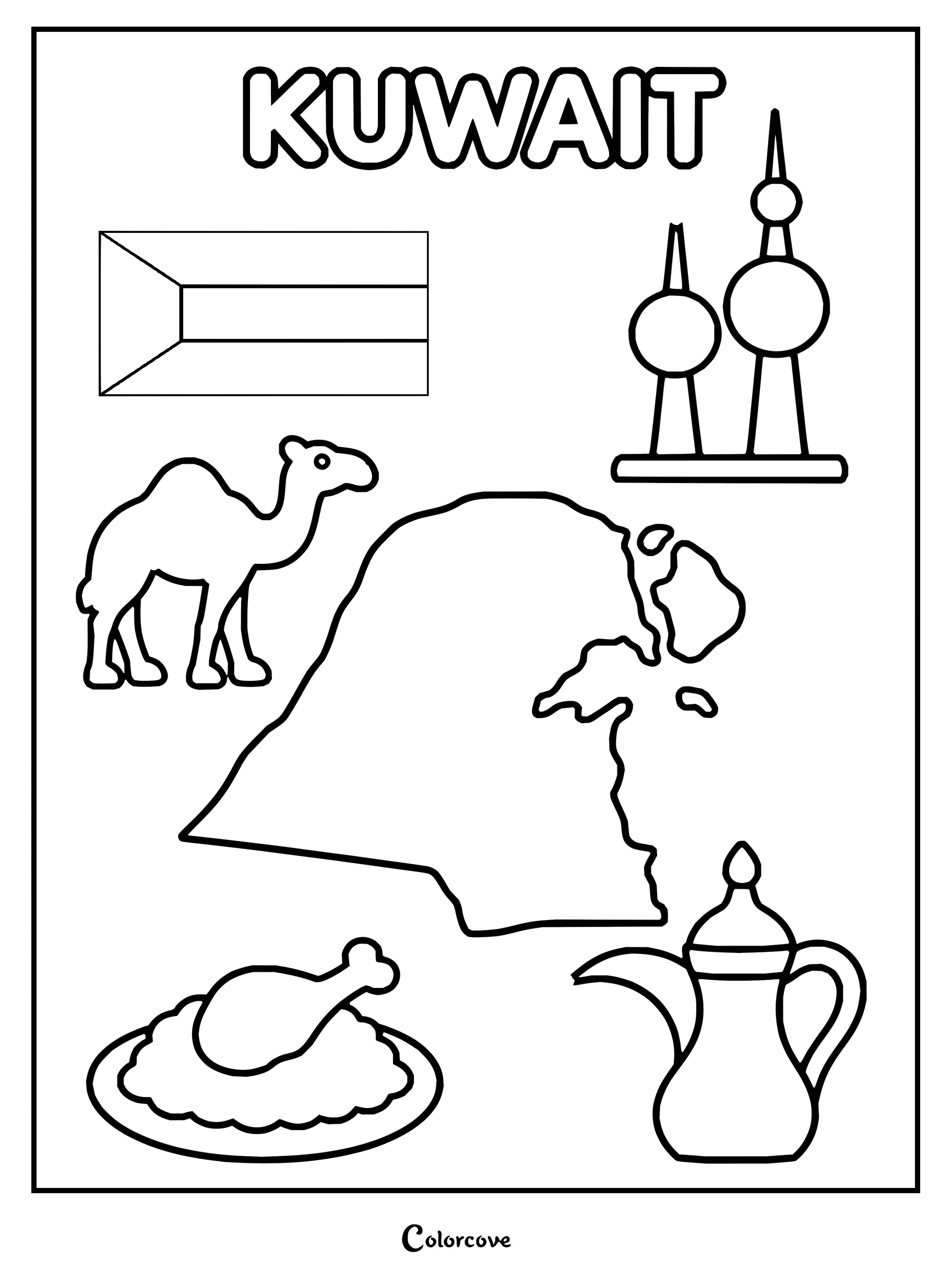
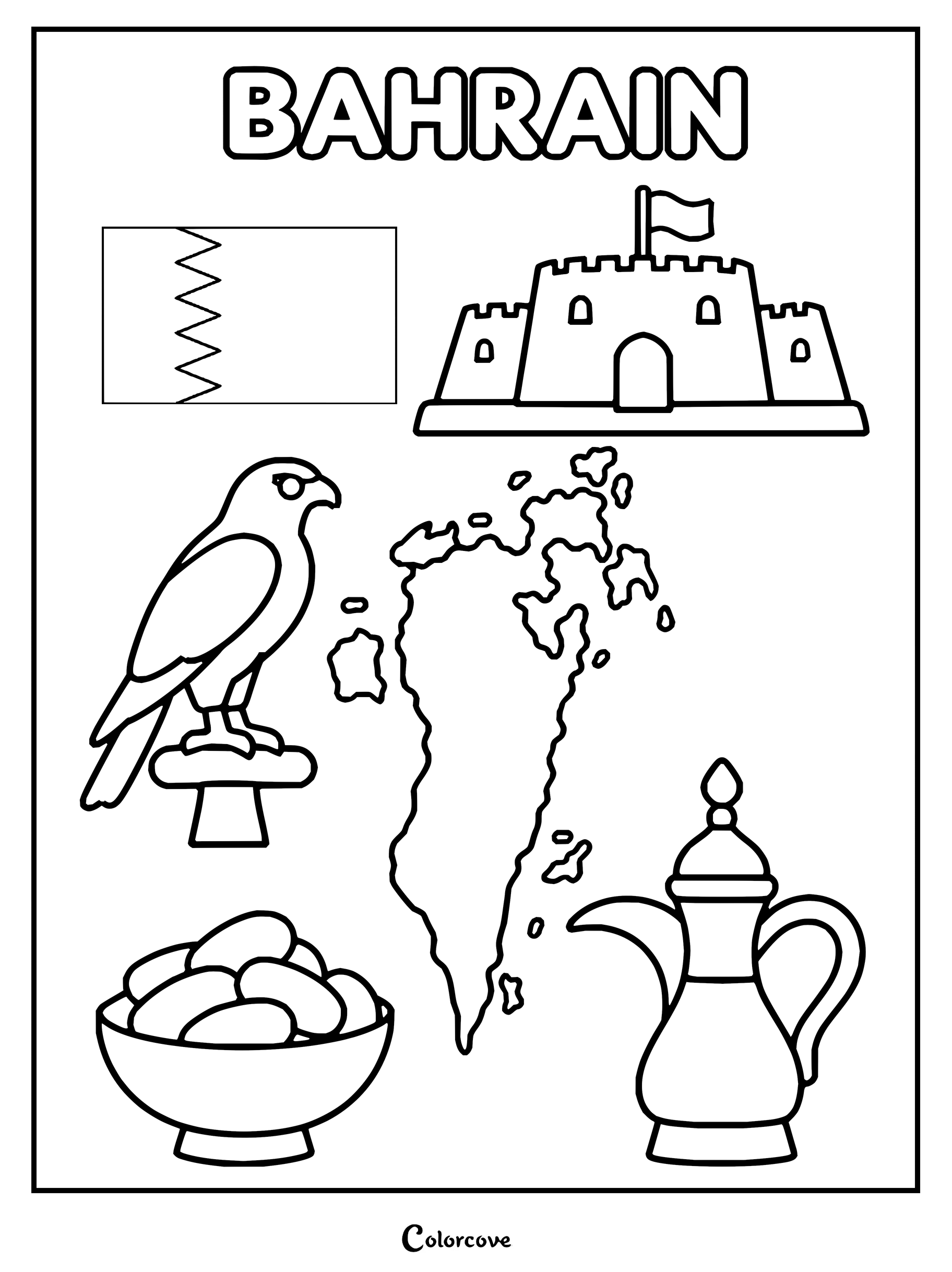
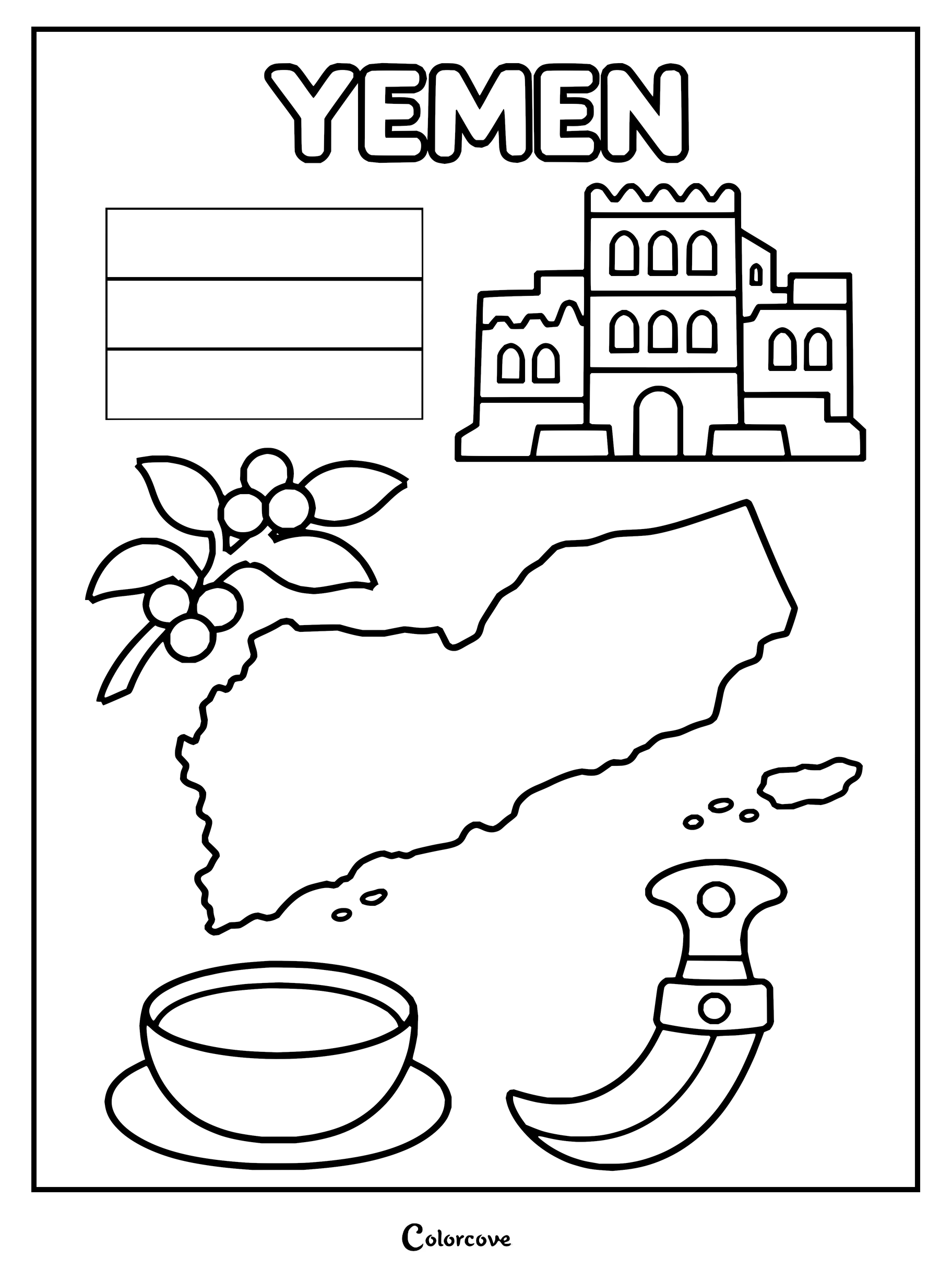
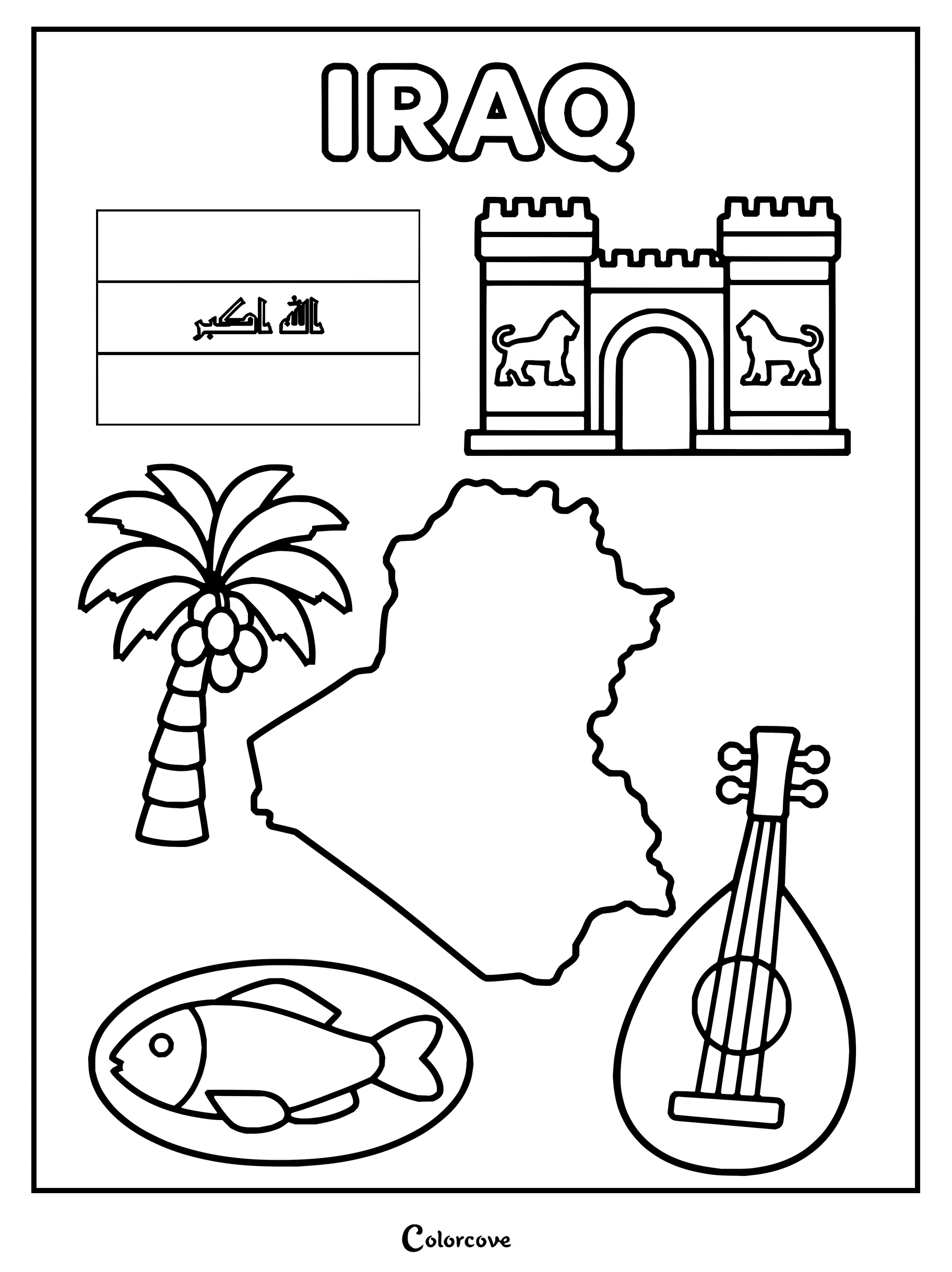
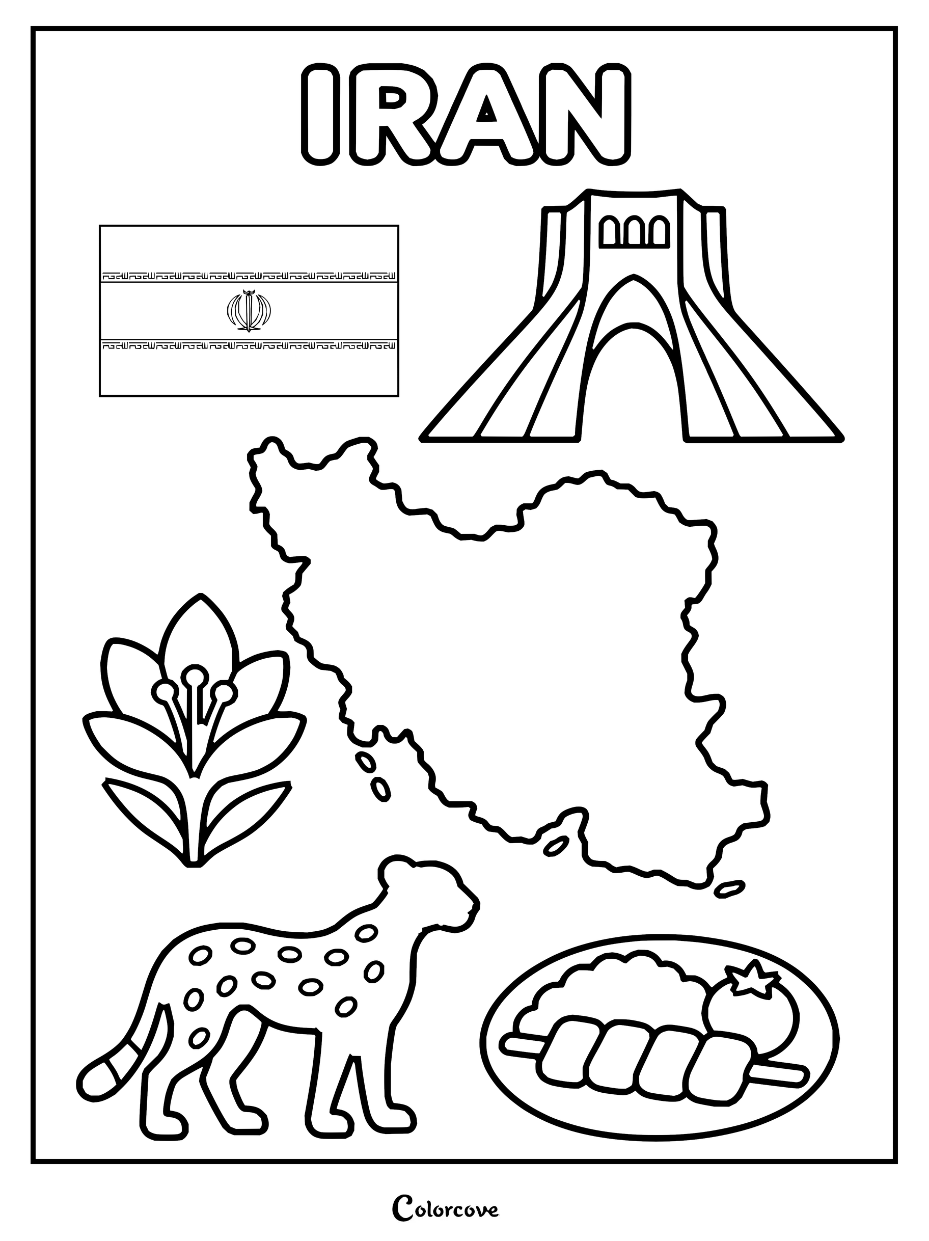
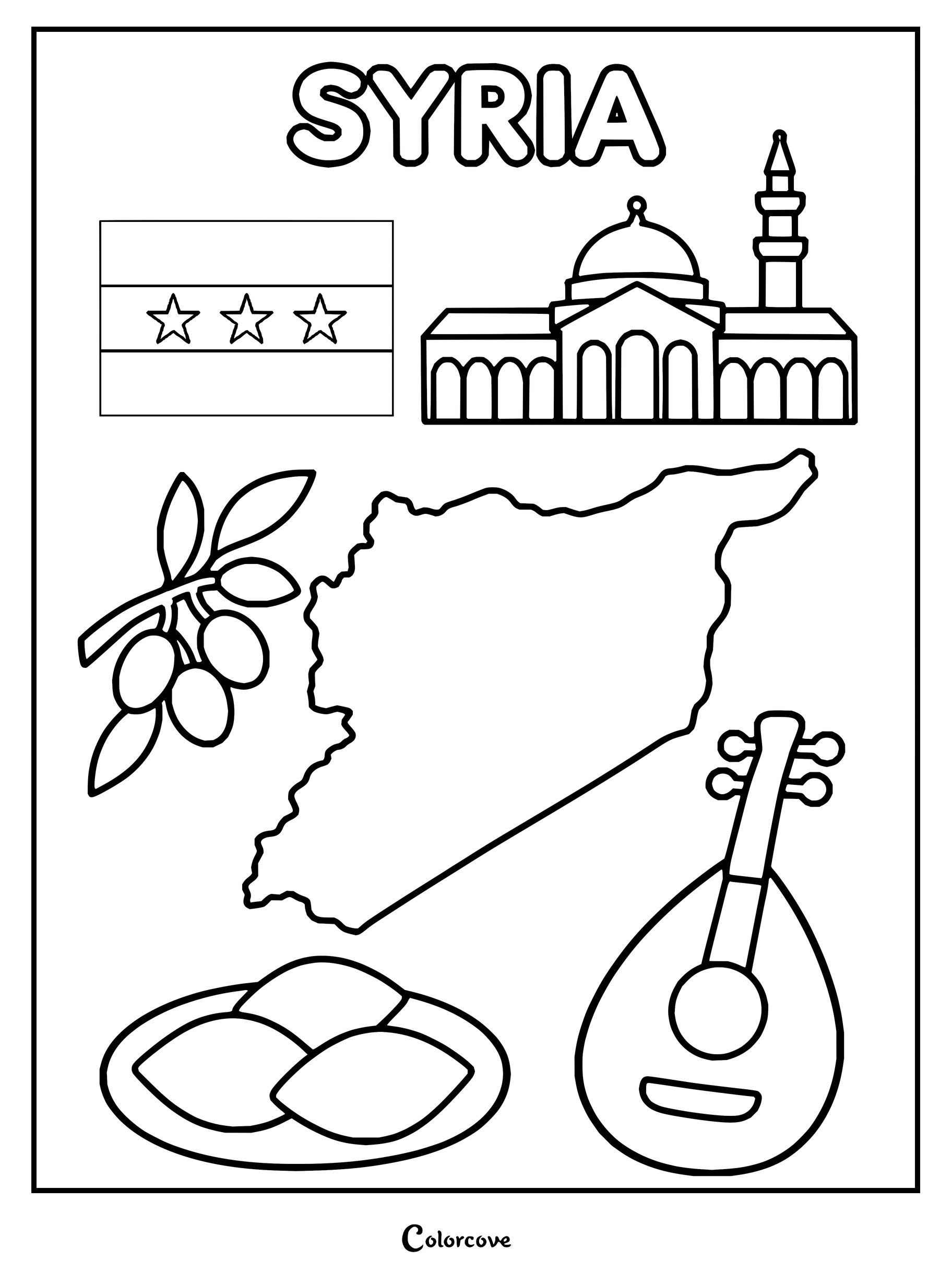
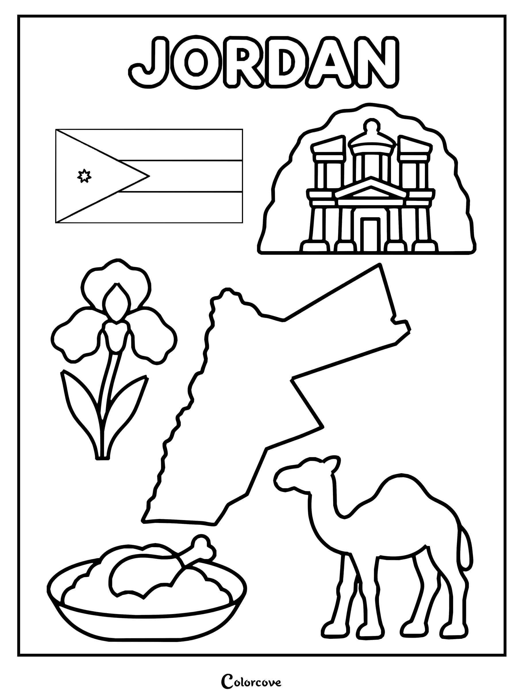
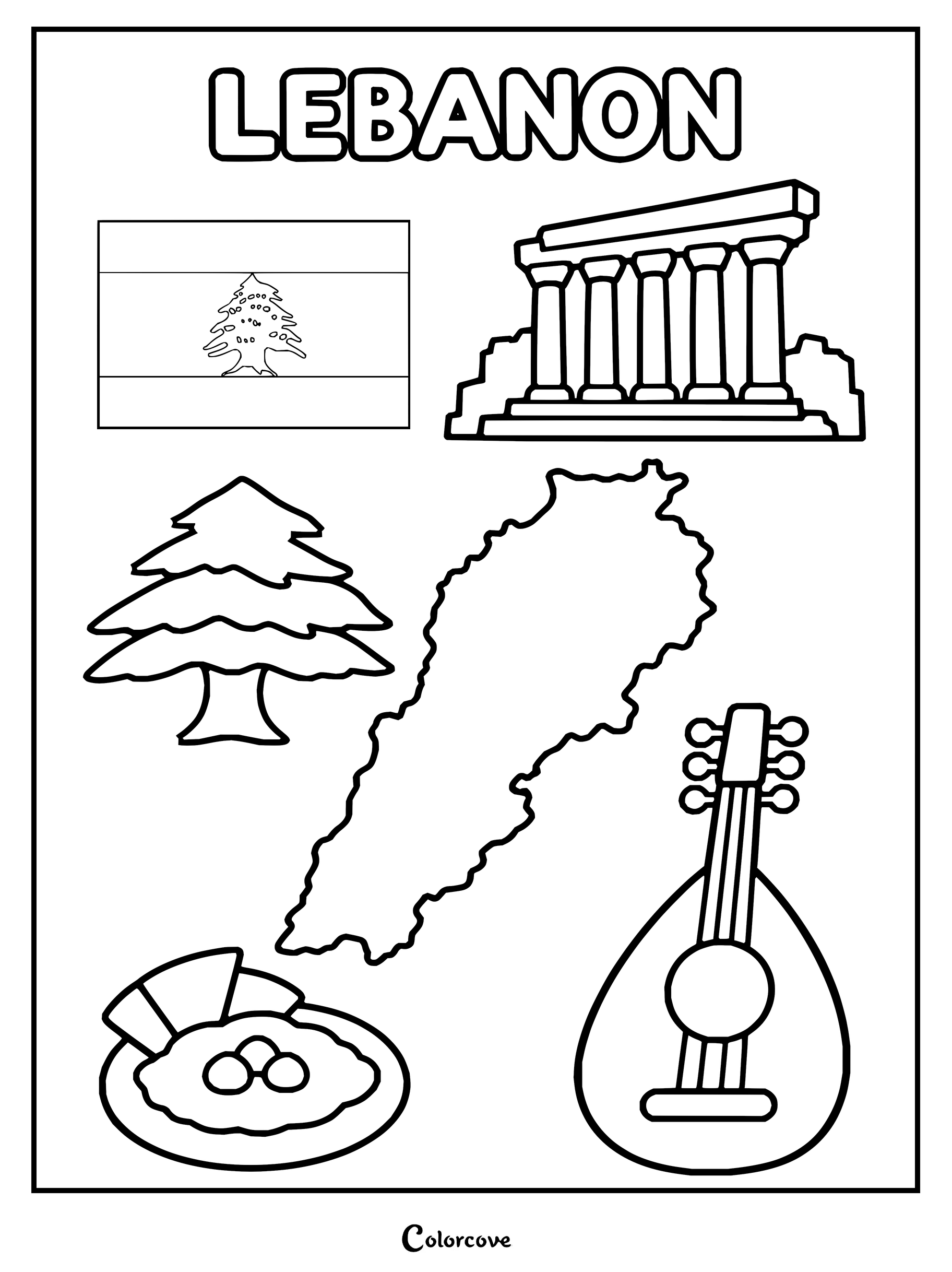
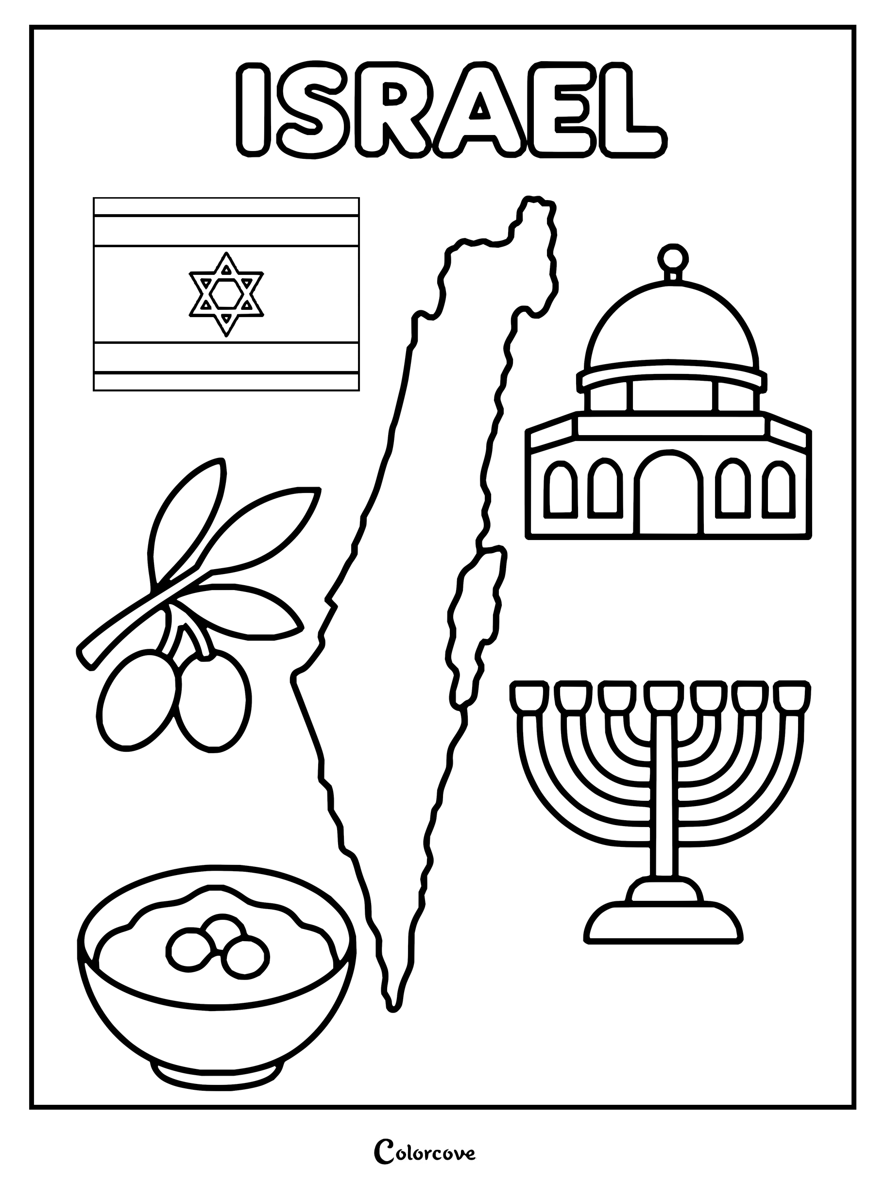
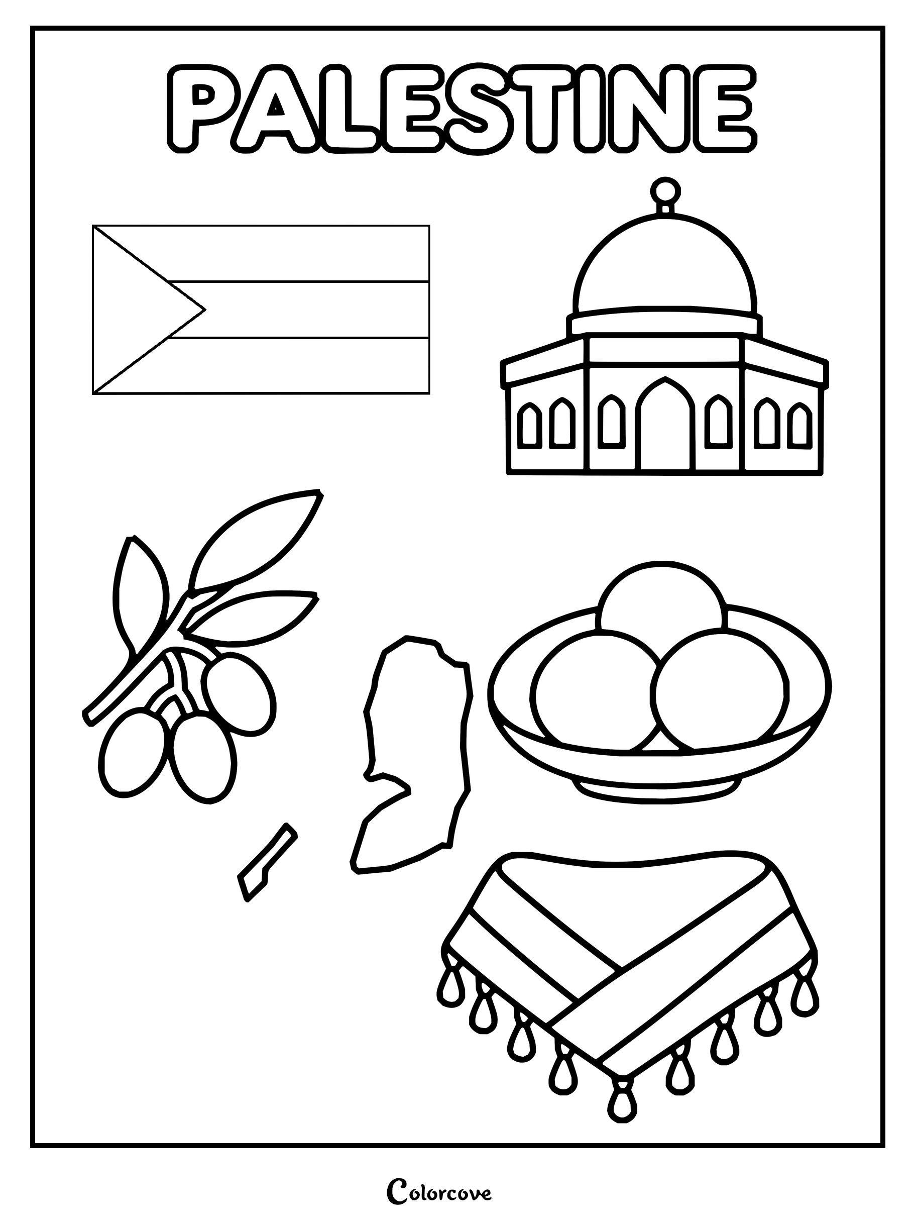
Saudi Arabia coloring page showing map, flag, camel, palm tree, and landmark.Coloring sheet featuring United Arab Emirates landmarks and culture.Explore Qatar with symbols like the flag, map, and traditional landmarks.Educational coloring page featuring cultural symbols, map, and flag of Oman.Explore Kuwait with this fun coloring page highlighting its national symbols.Explore Bahrain with its national symbols, map, and cultural icons.Explore Yemen with this cultural educational coloring page featuring traditional symbols.Explore Iraqi culture with this fun educational coloring sheet.Explore Iranian culture with this detailed country map coloring sheet.Educational coloring page featuring Syria map, flag, and cultural symbols.Explore Jordan with symbols like Petra, the national flag, and map.Explore Lebanese culture with icons like the cedar tree, flag, and map.Educational coloring page featuring iconic symbols and landmarks of Israel.Explore Palestinian culture featuring the flag, Dome of the Rock, and traditional symbols.
Set sail across vast oceanic distances connecting island atolls, coral lagoons, and continental wonderlands. You can easily complement these island designs with our Earth Coloring Pages to map global ecosystems while coloring each Pacific community.
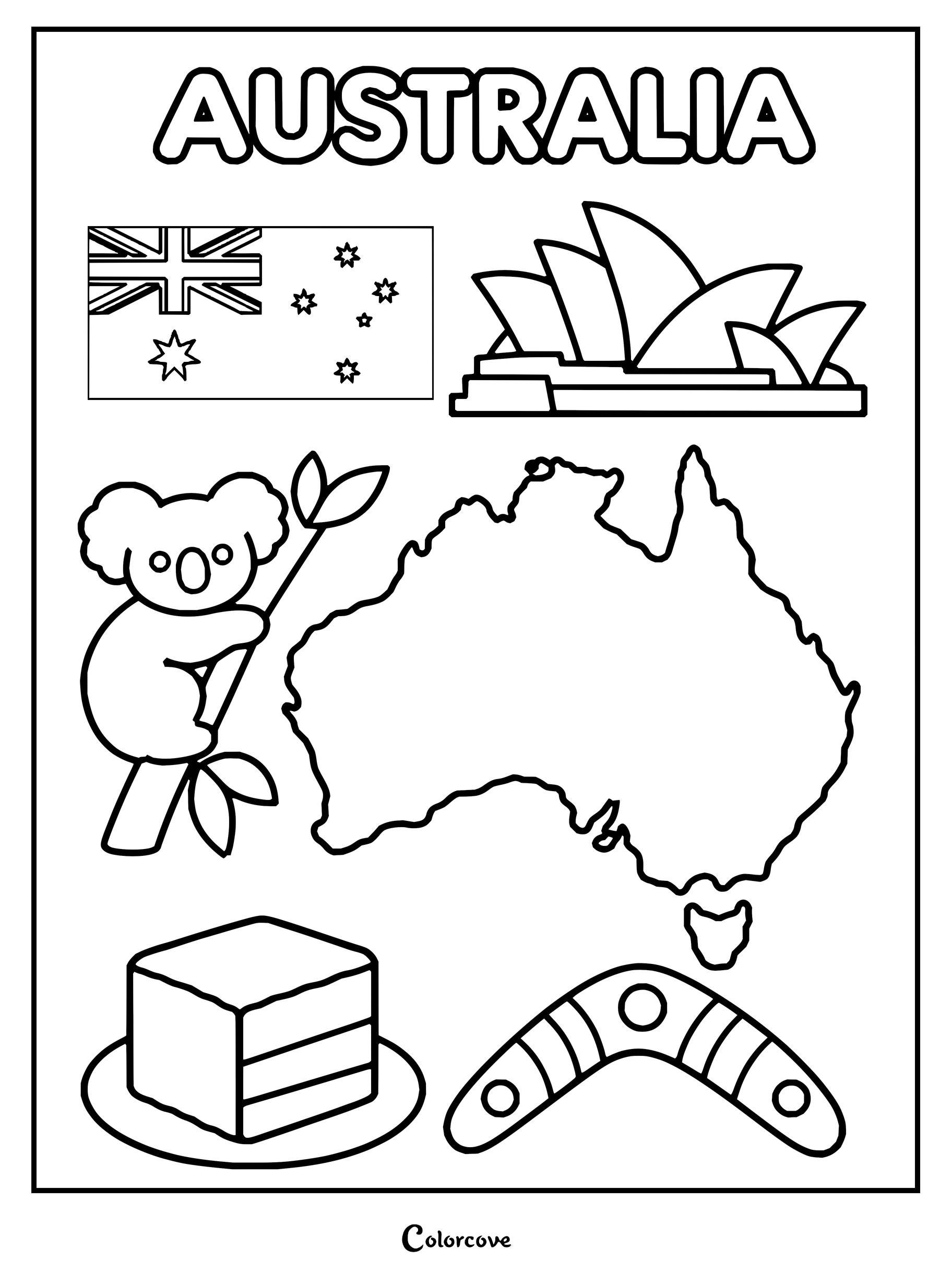
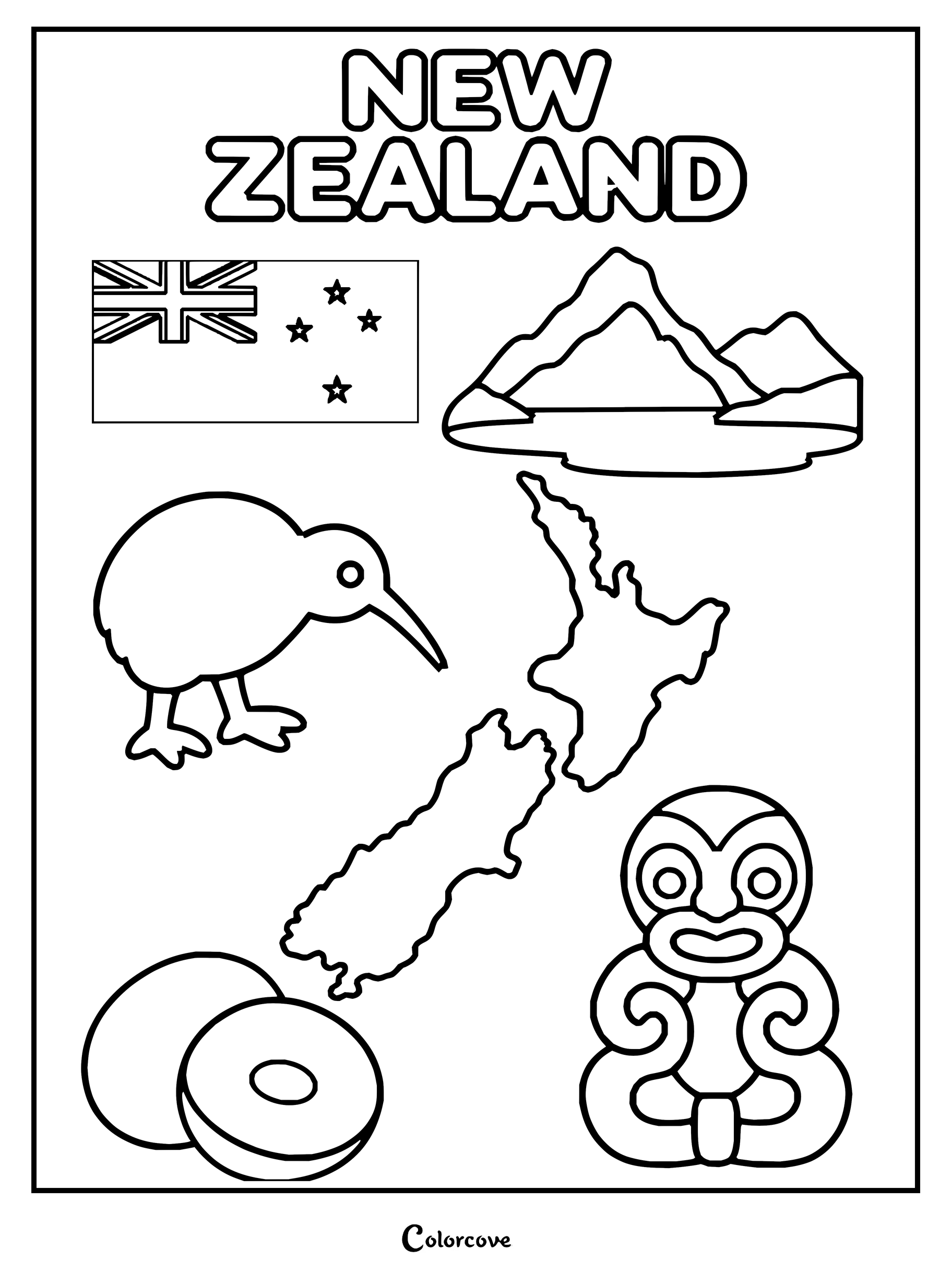
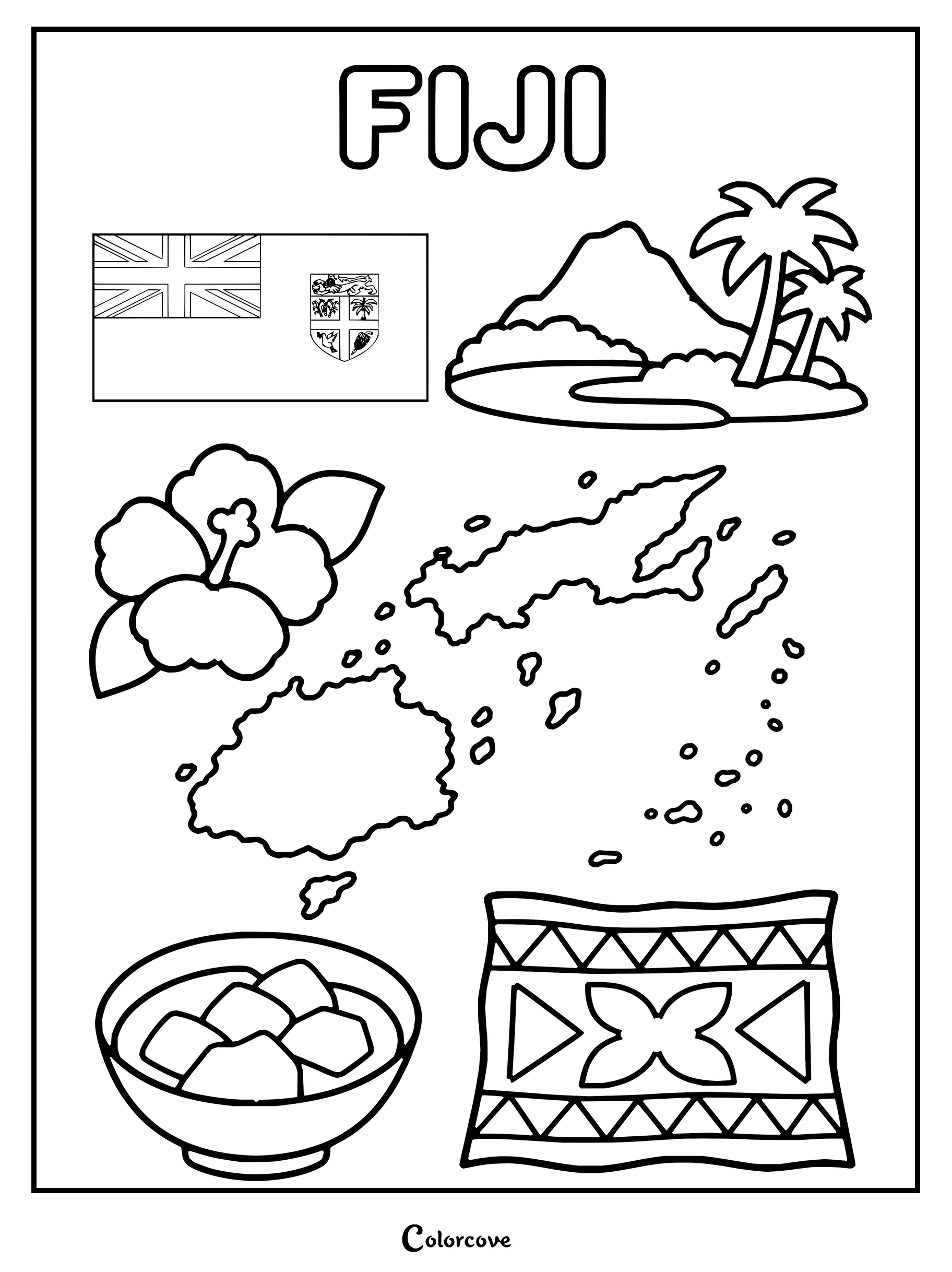
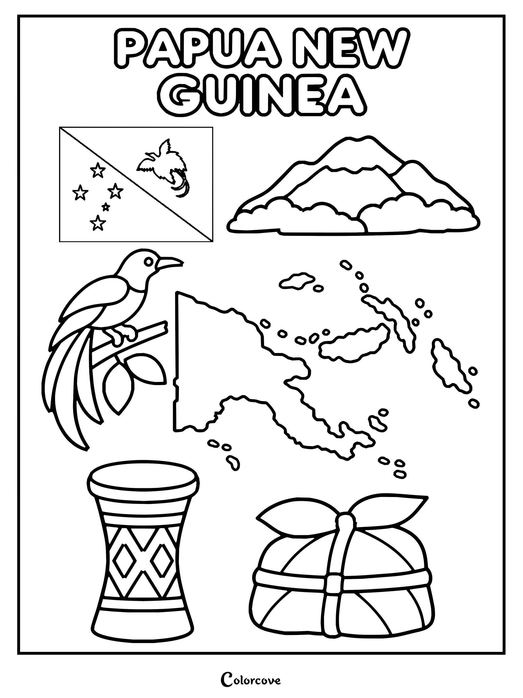
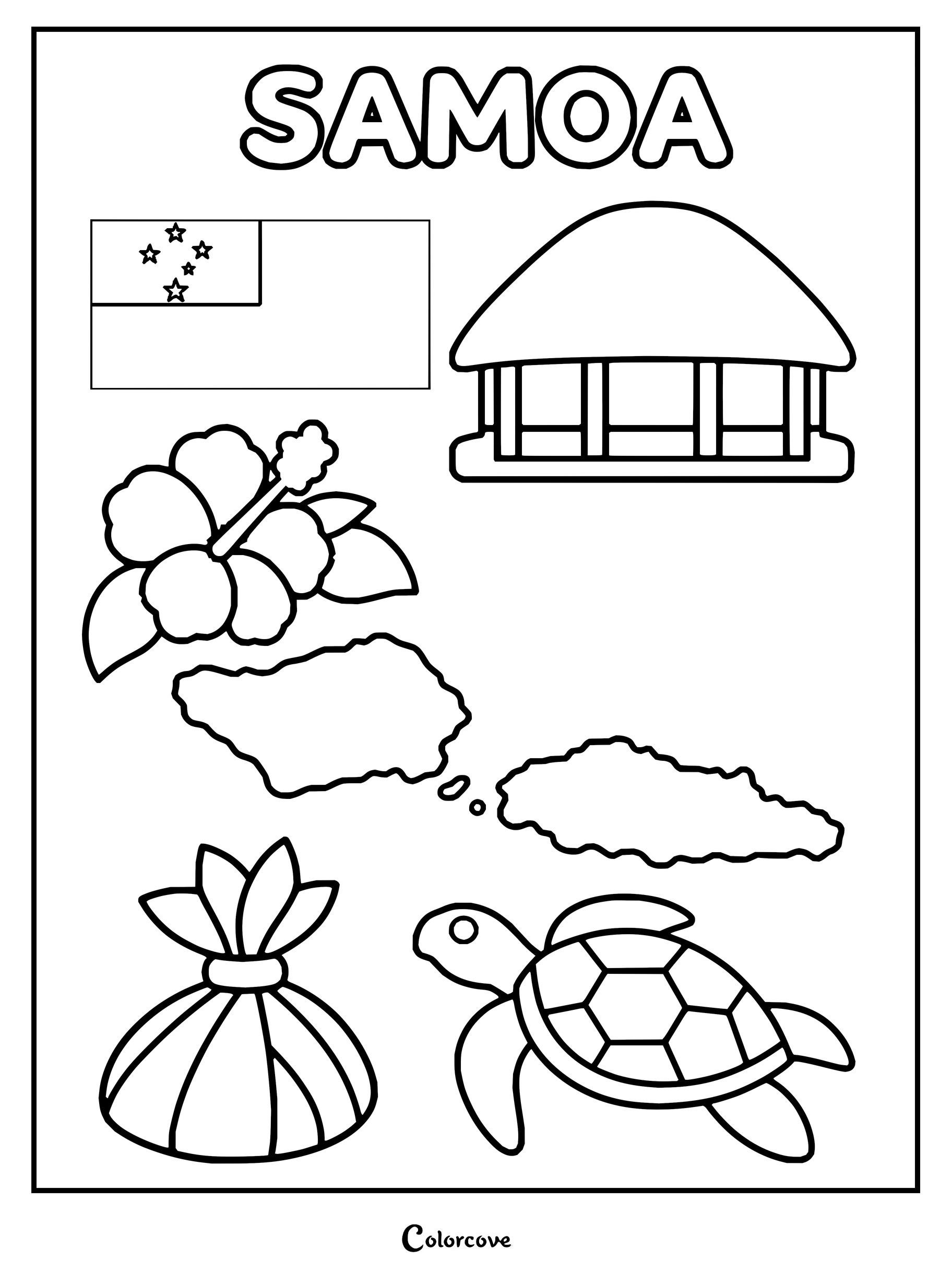
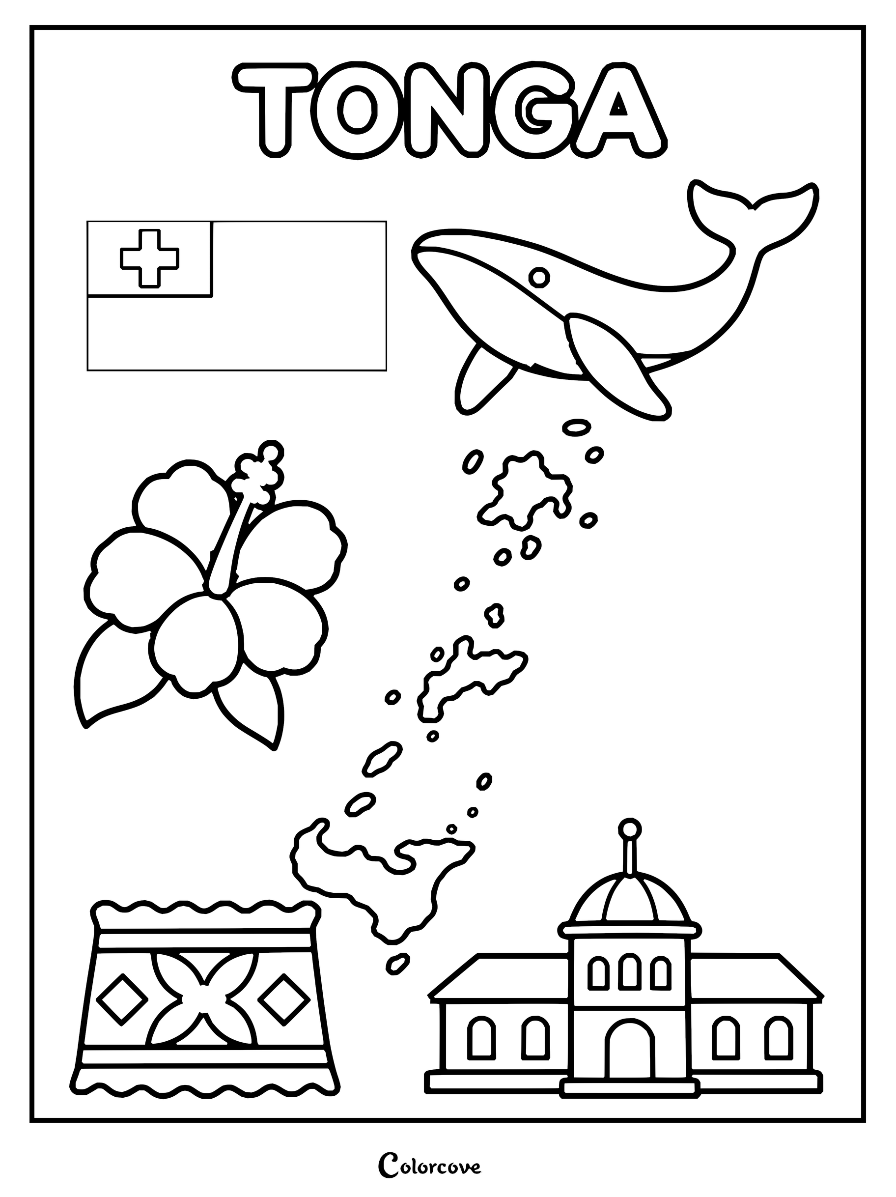
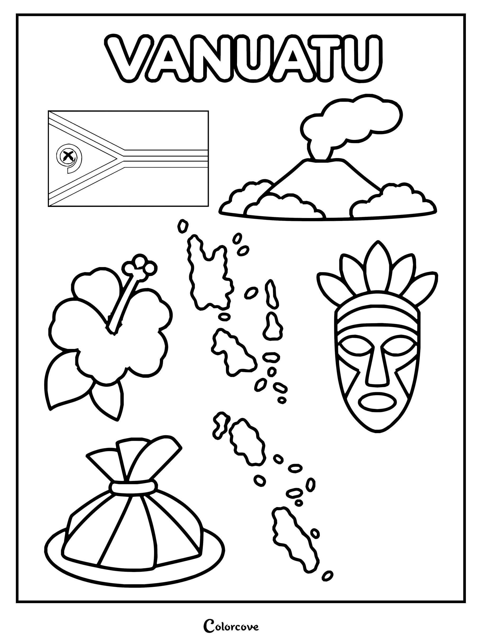
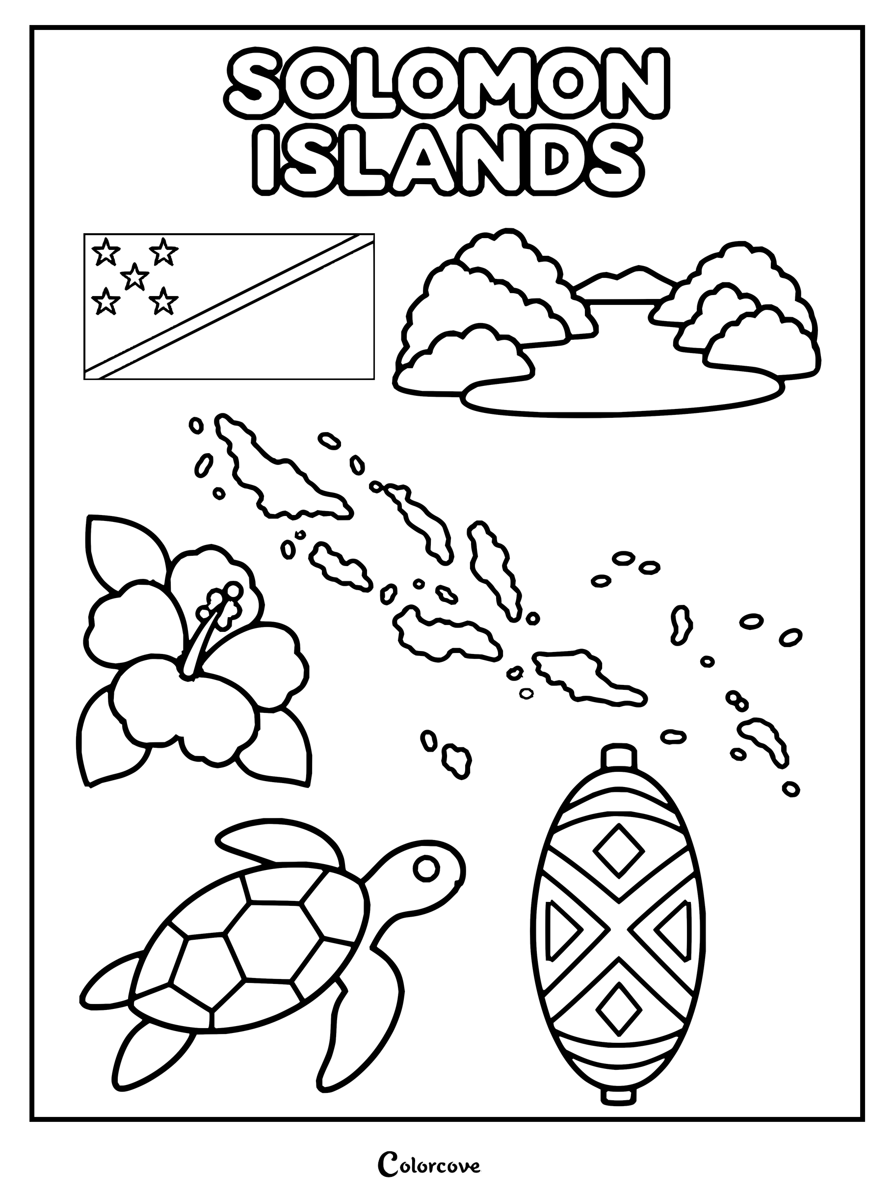
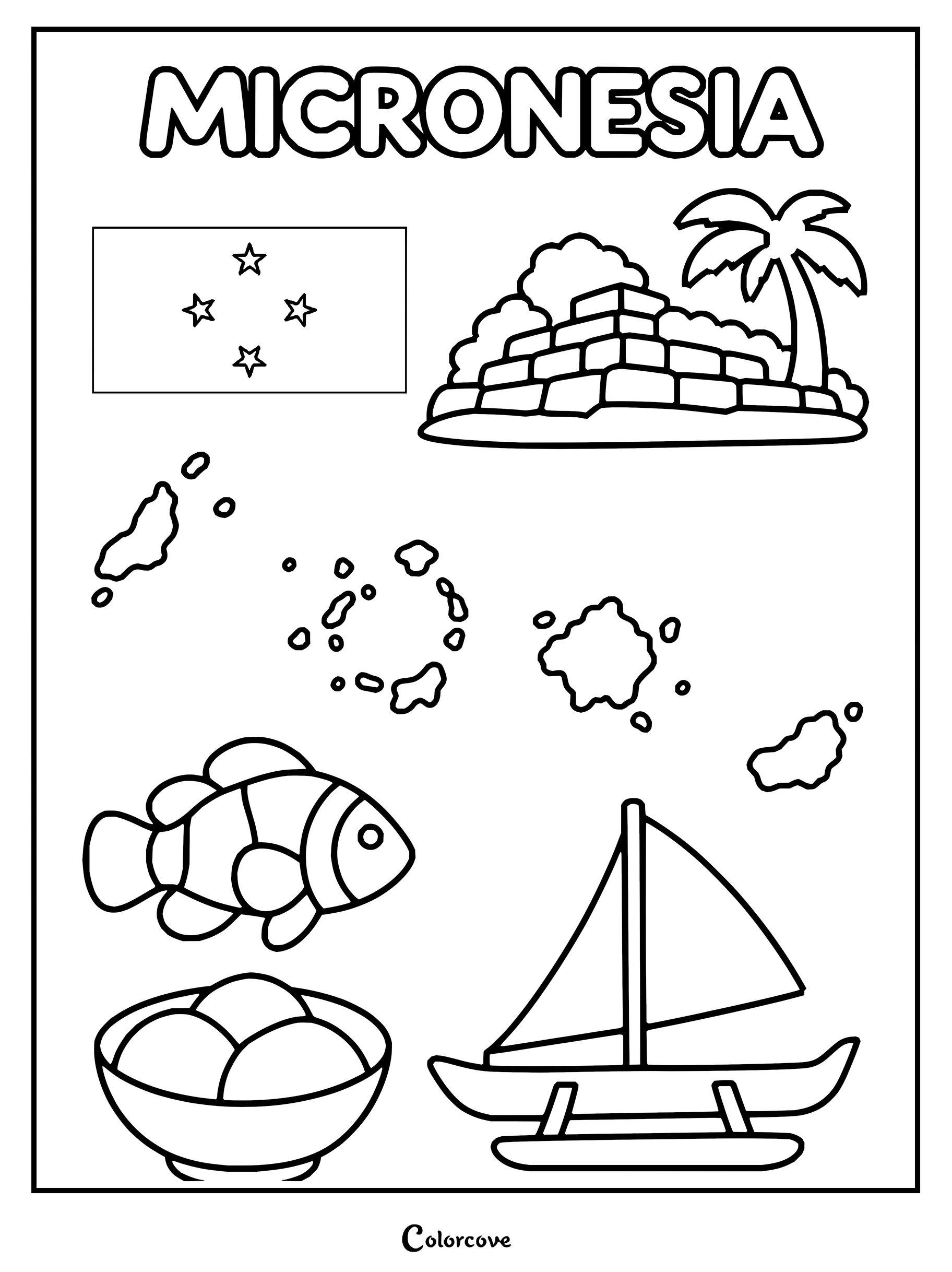
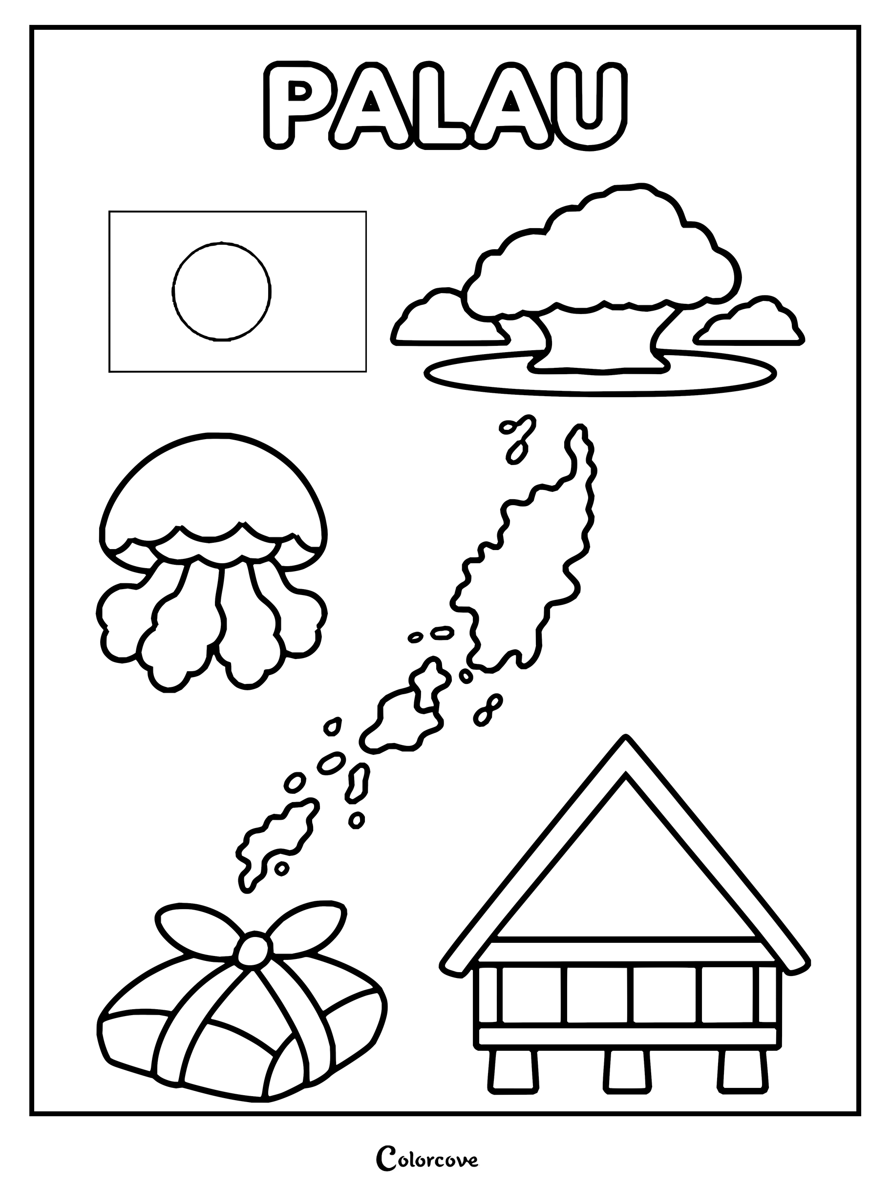
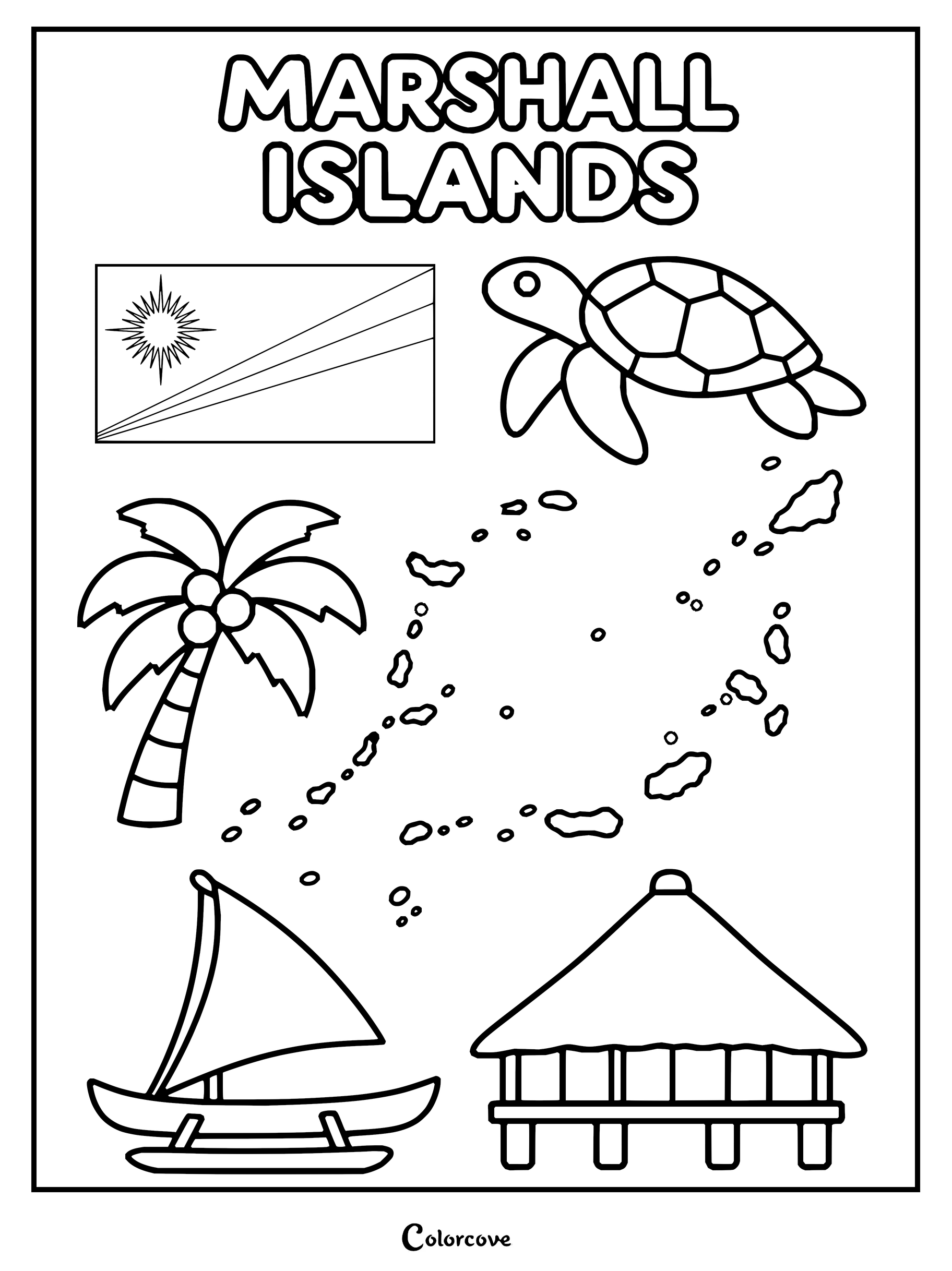
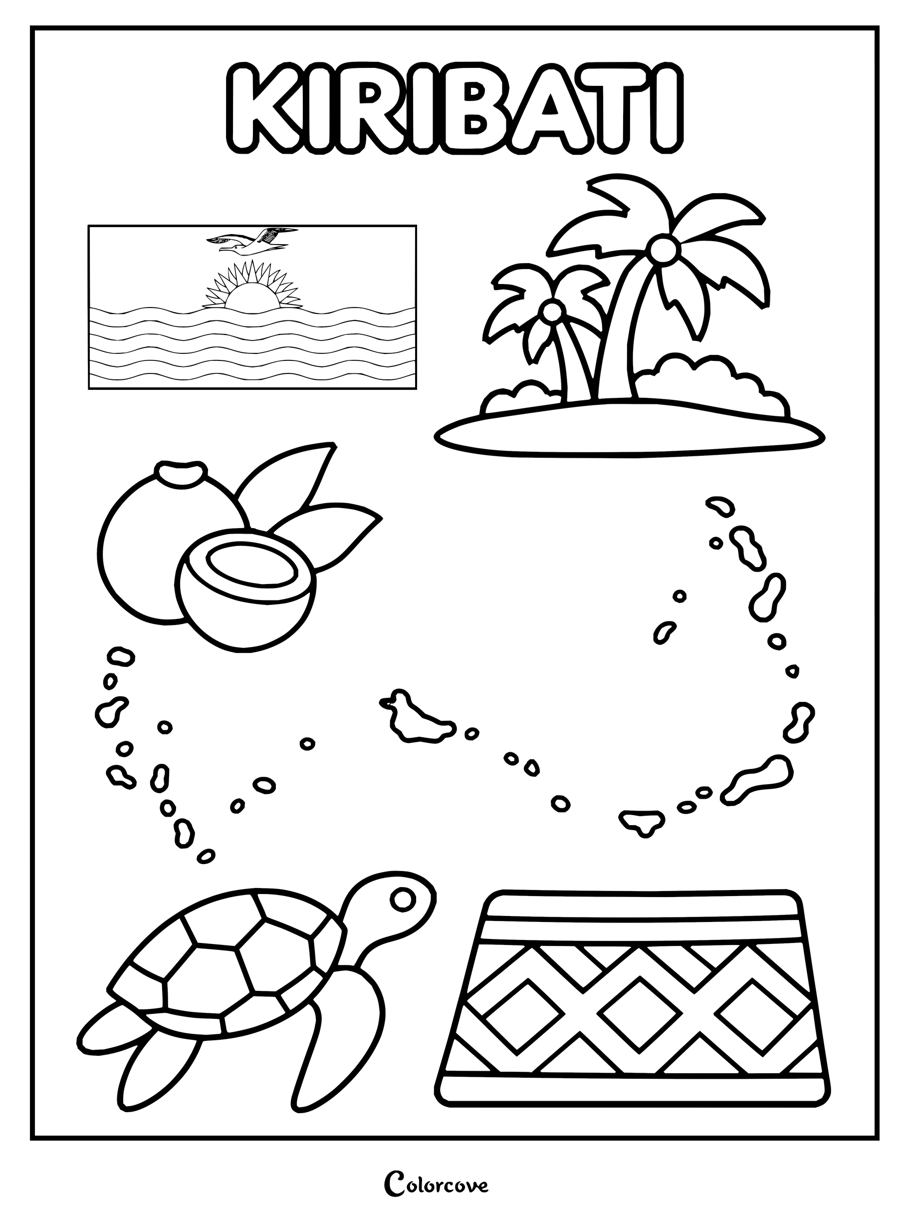
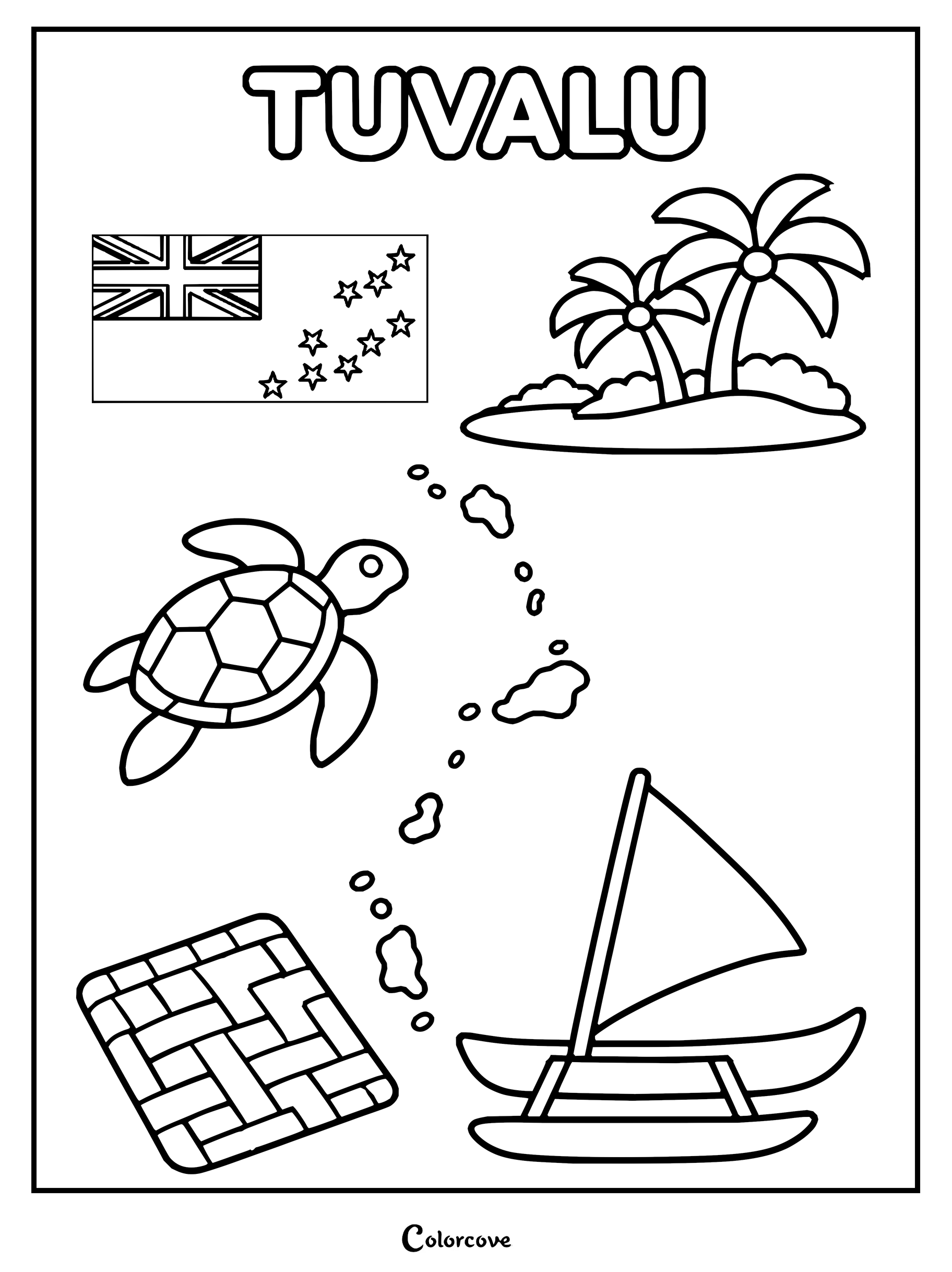
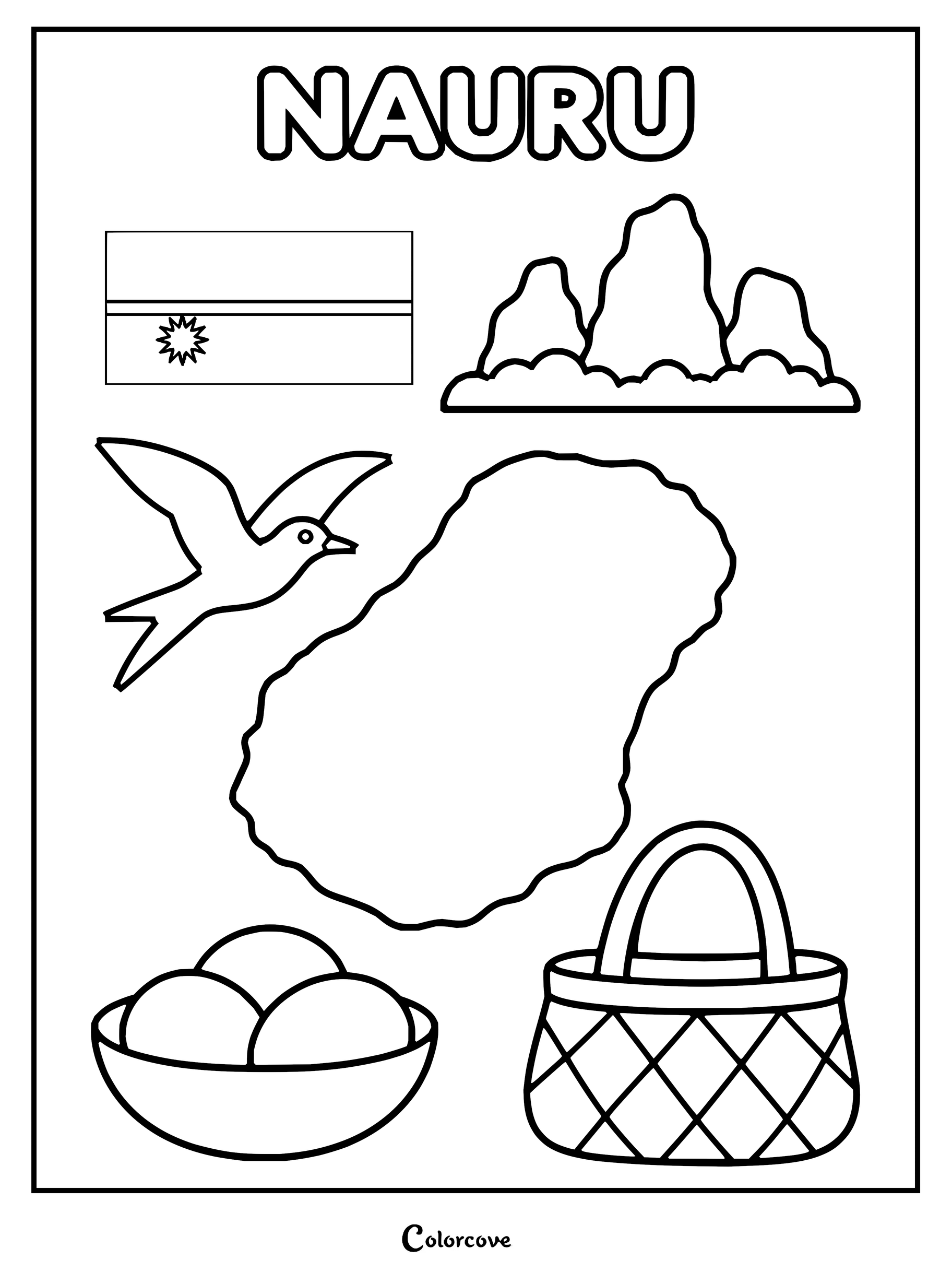
Discover iconic symbols and landmarks of Australia in this fun outline.Explore the unique symbols and culture of New Zealand with this fun coloring page.Fiji features its national flag, map, hibiscus flower, palm trees, and traditional elements.Papua New Guinea symbols including flag, map, bird of paradise, and drum.Explore Samoa with iconic cultural symbols and national map outline.Explore Tongan culture with national symbols like the flag, whale, and map.Vanuatu coloring page featuring the country’s flag, map, volcano, hibiscus flower, and cultural mask.Explore Solomon Islands culture with patriotic symbols, map outlines, and local wildlife.Explore the culture of Micronesia with traditional symbols, landmarks, and wildlife.Explore Palau with this fun educational coloring page.Explore Marshall Islands with this flag, map, and cultural icons.Explore Kiribati culture with tropical symbols and native wildlife.Explore Tuvalu with a fun coloring page featuring its national symbols and culture.Nauru coloring page featuring national symbols like the flag and map.
North and Saharan Africa
Traverse sweeping desert dunes, ancient Mediterranean port cities, and majestic pyramids. Warm desert sands, Nile delta greens, and bright indigo dyes lend rich cultural resonance to each North African coloring page.
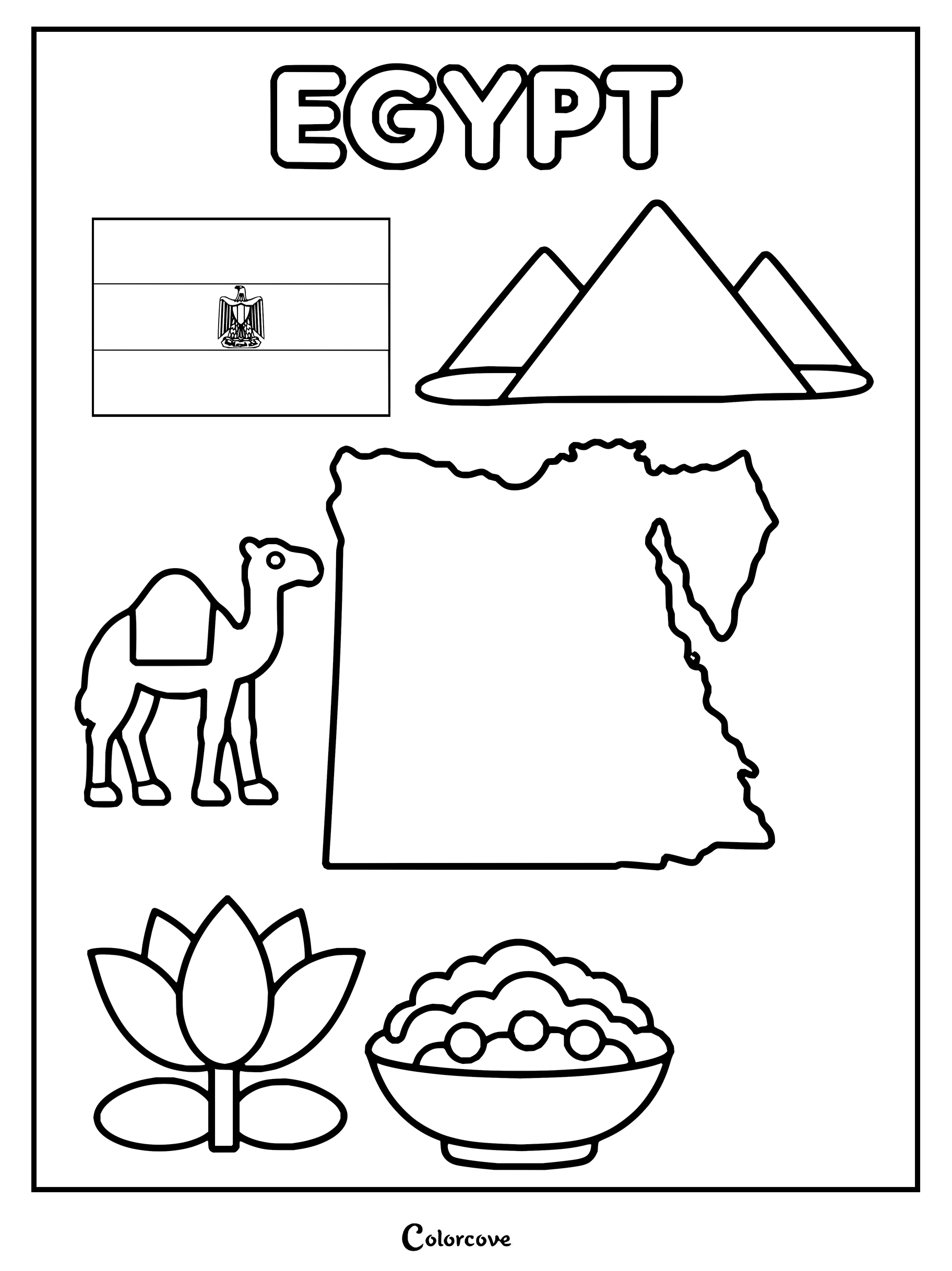
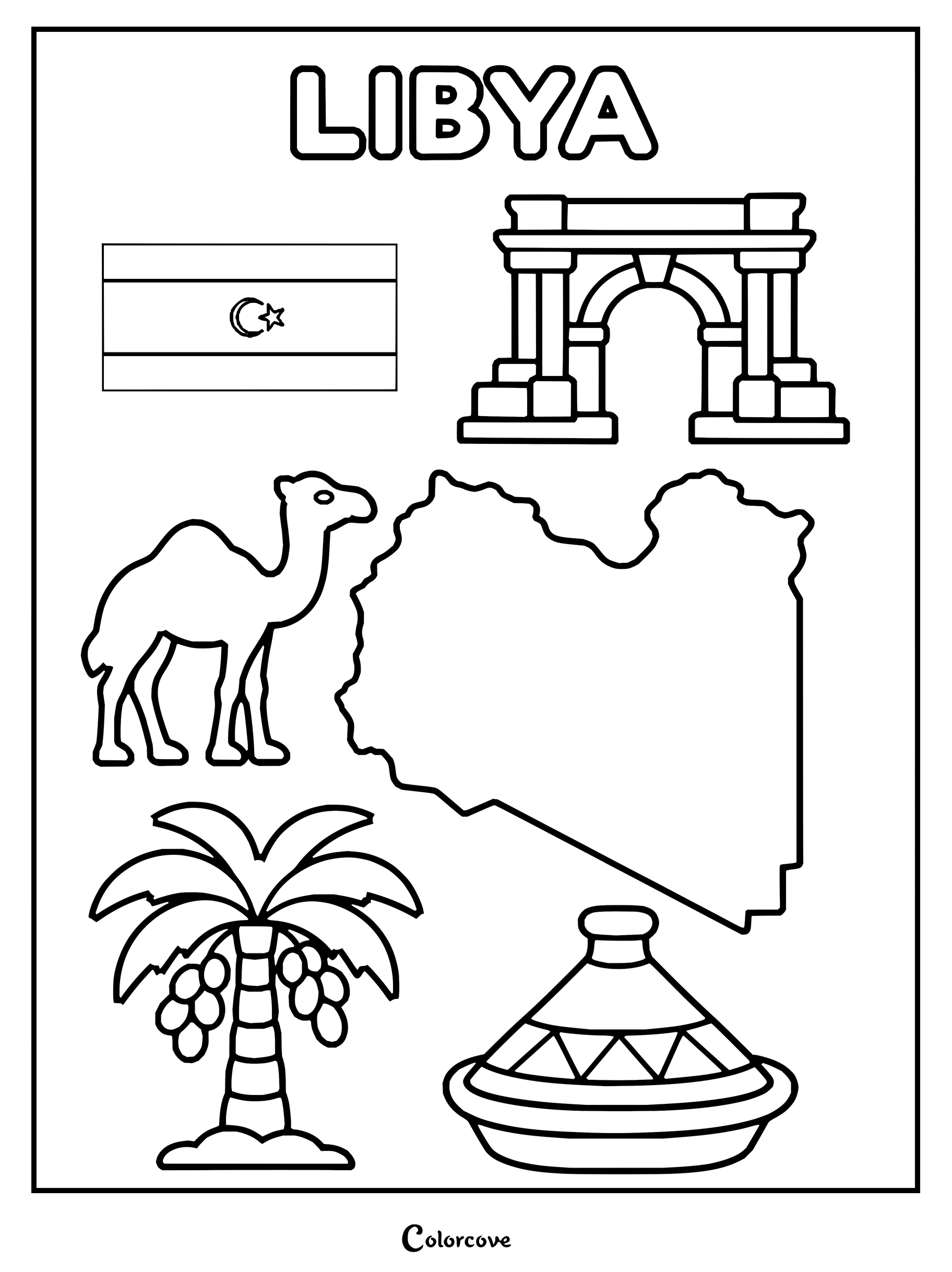
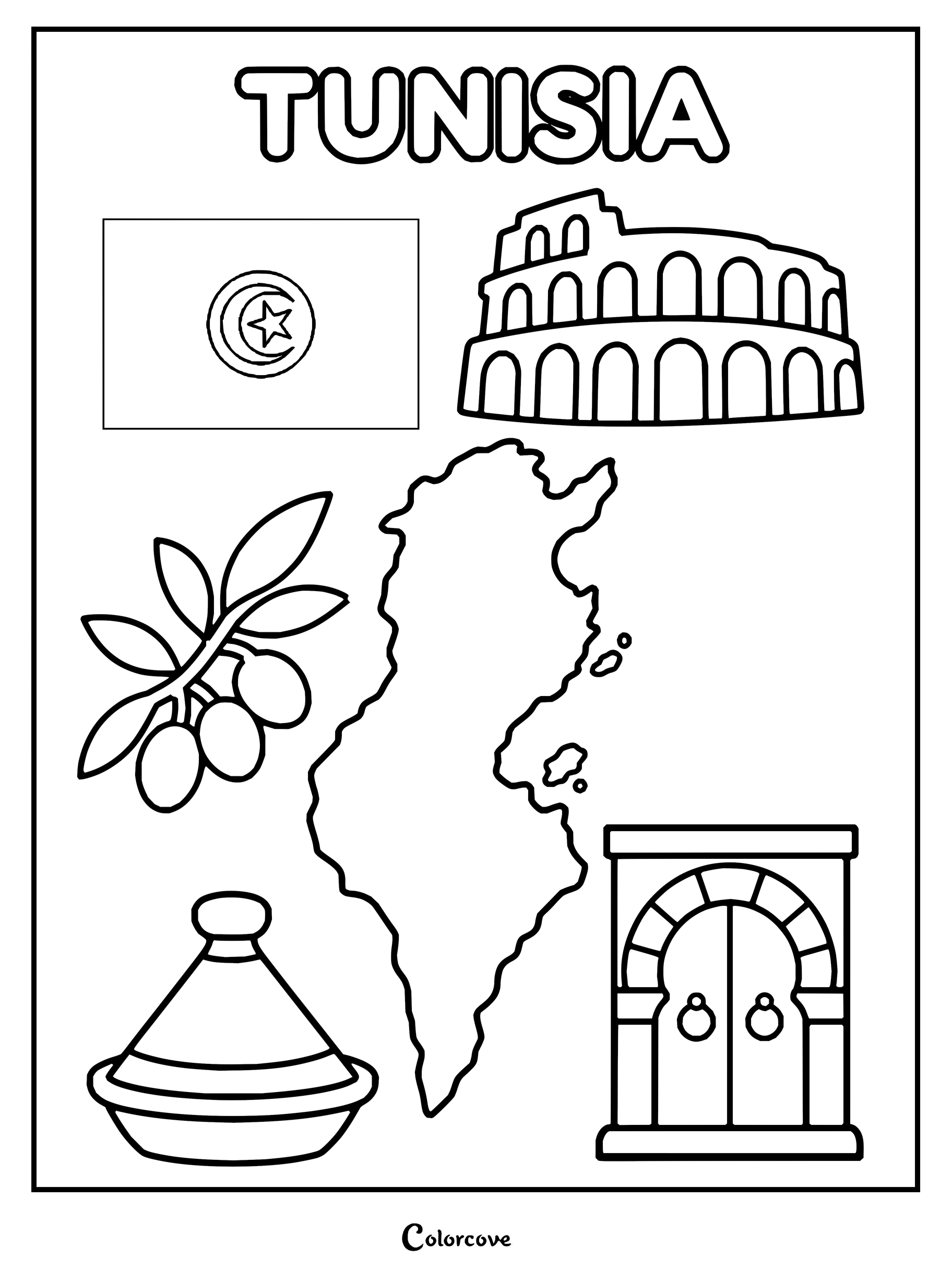
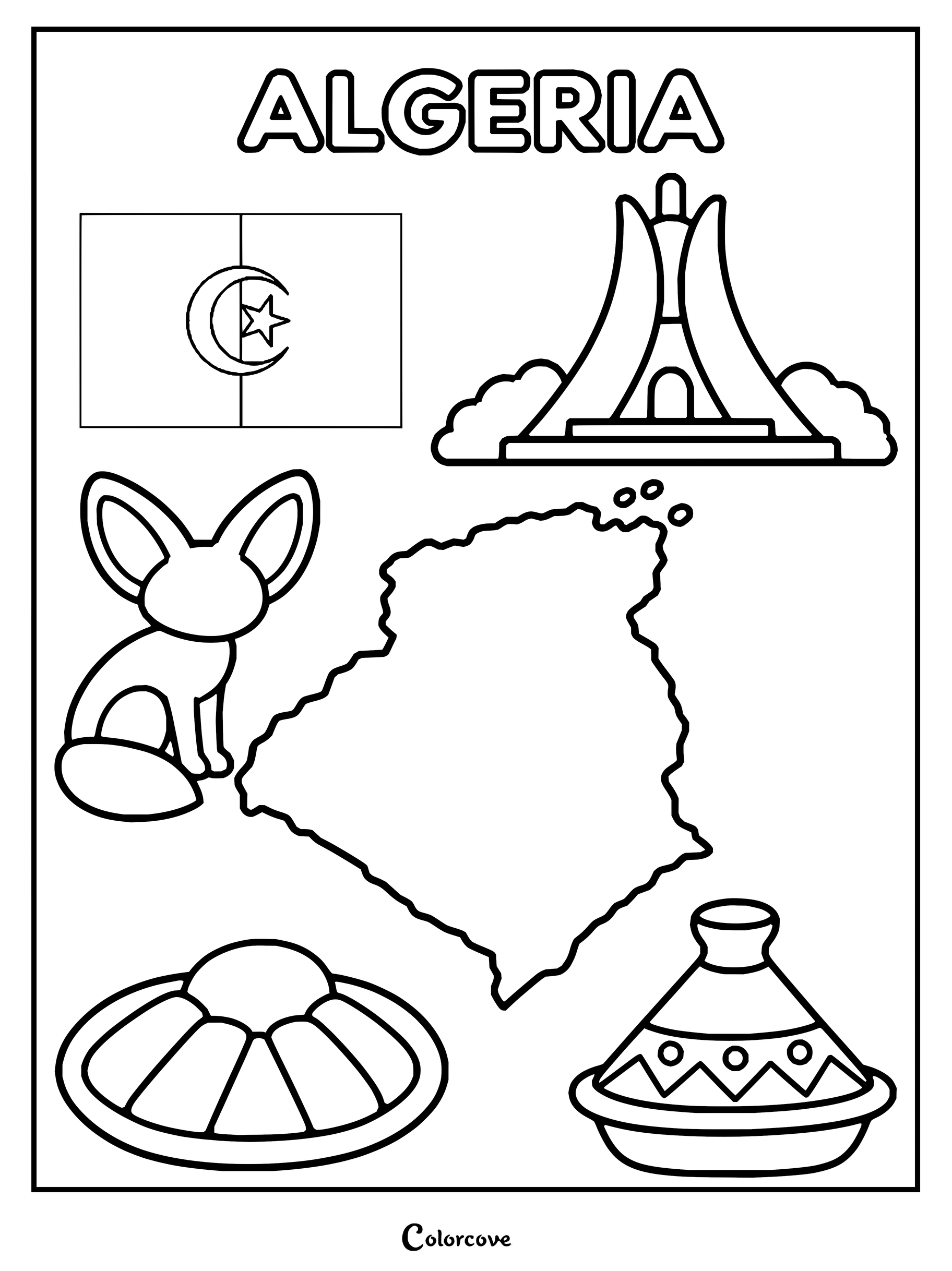
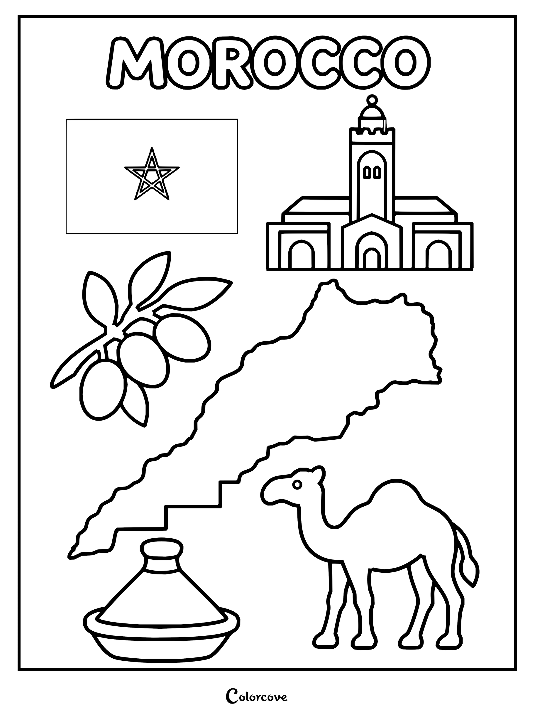
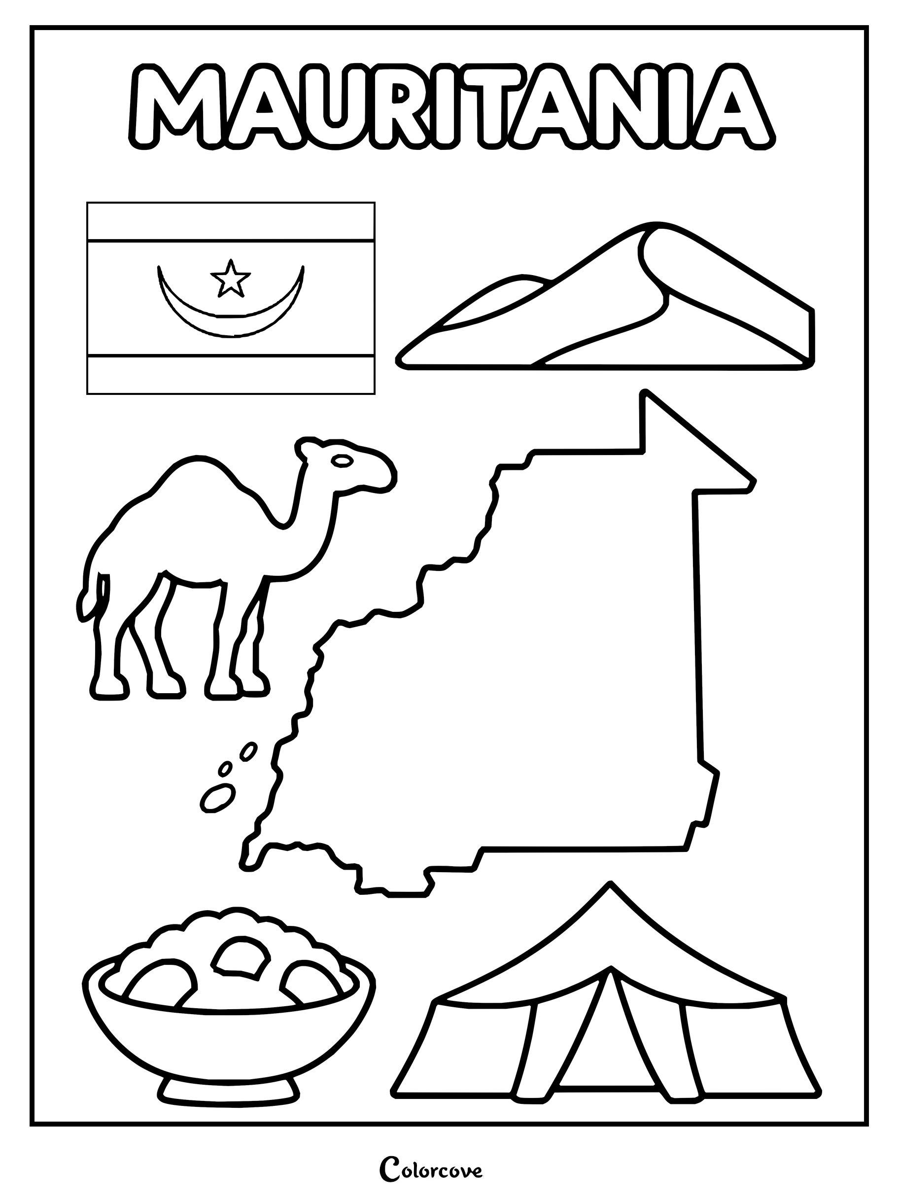
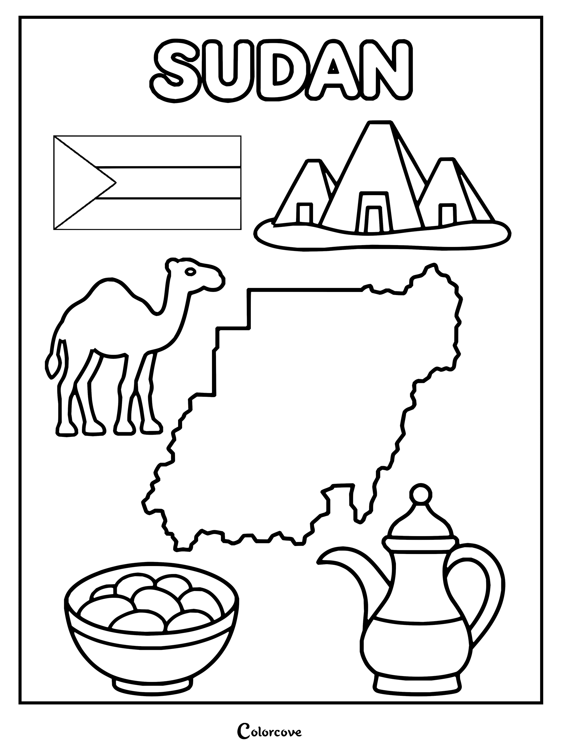
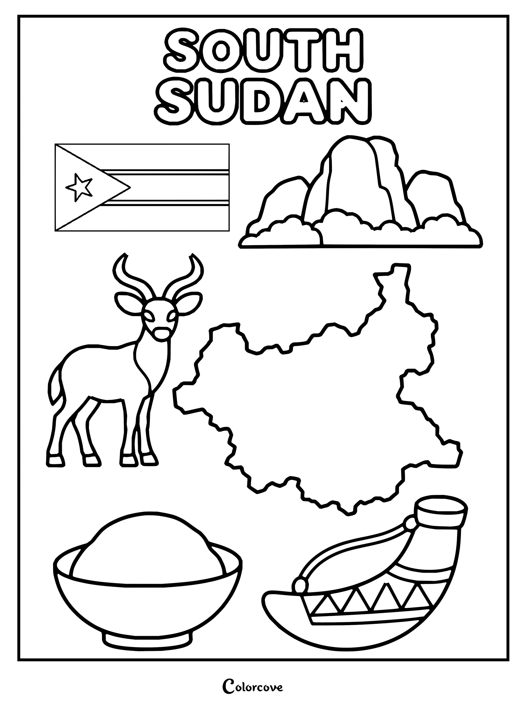
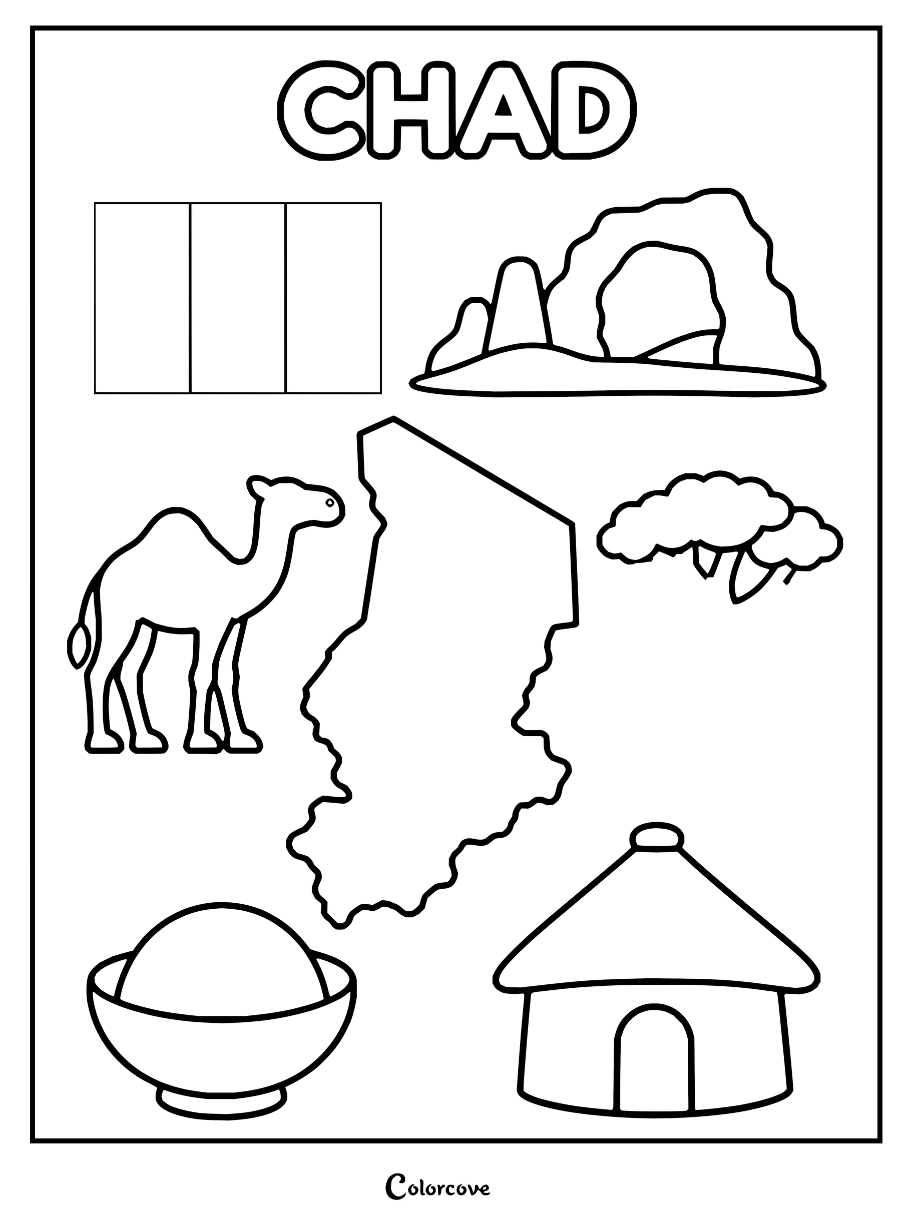
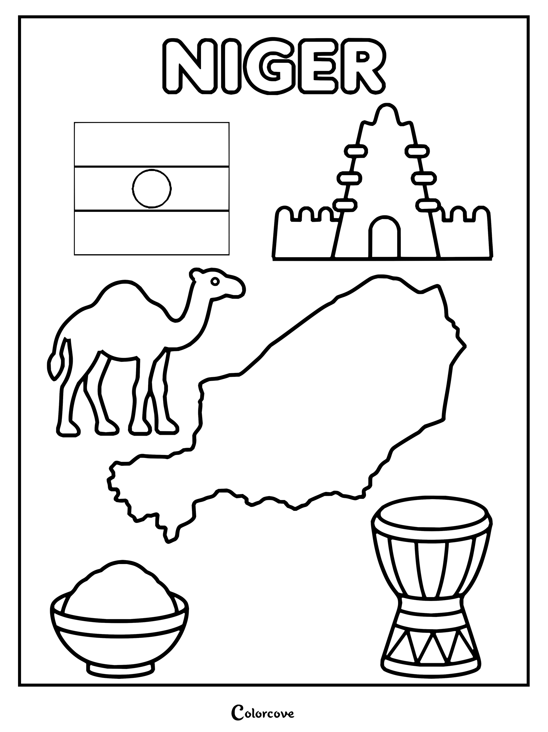
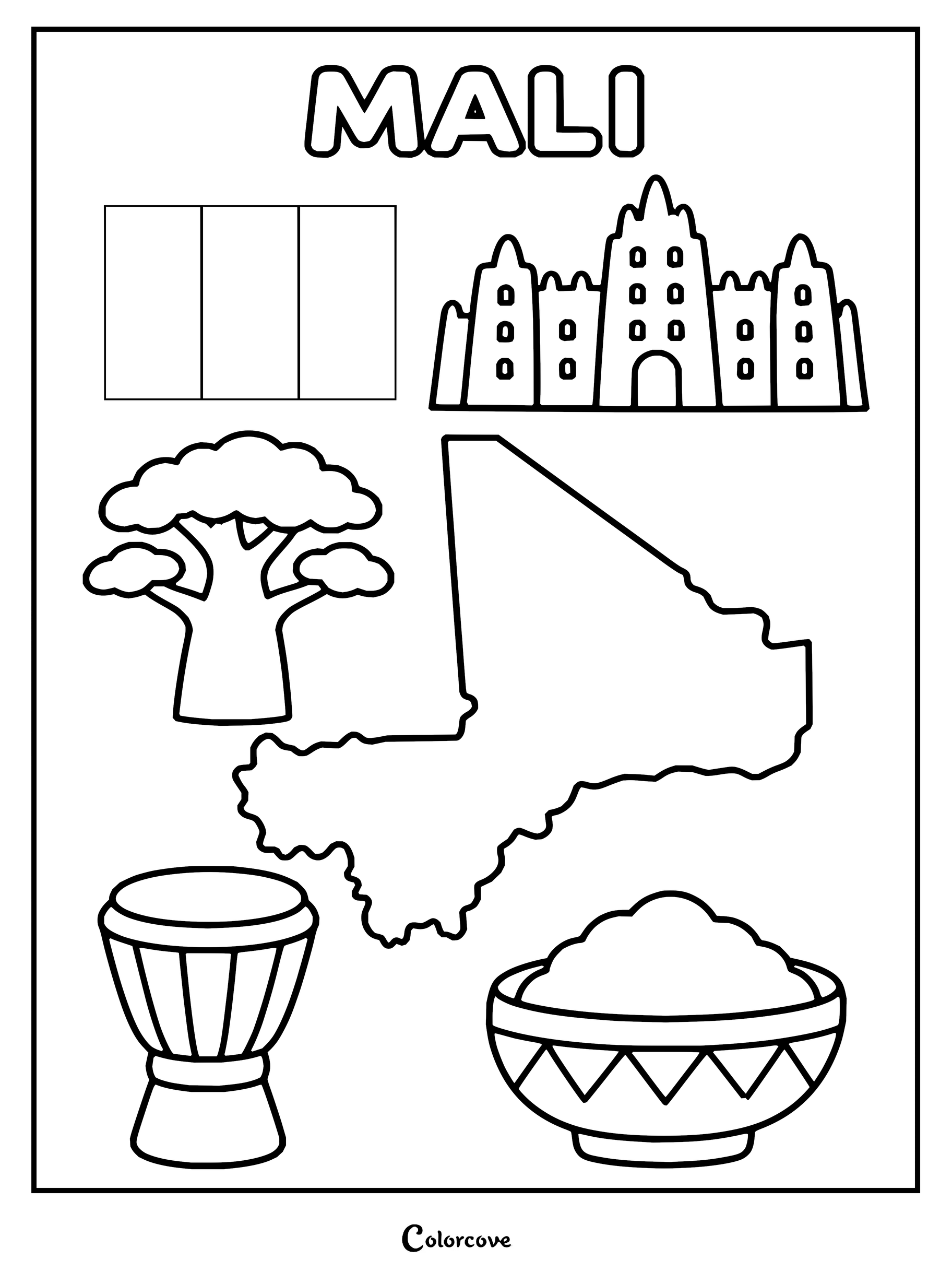
Explore iconic Egyptian landmarks and cultural symbols in this fun coloring sheet.Libya coloring page featuring the country flag, map, camel, and ancient arch.Explore Tunisia with iconic cultural and geographical symbols.Explore Algerian culture with this fun educational coloring sheet.Coloring page featuring iconic Moroccan symbols including the map and flag.Mauritania country theme with map, flag, camel, and traditional symbols.Explore Sudan with this printable coloring sheet featuring cultural symbols.Explore South Sudan’s culture and geography with this fun printable coloring page.Educational coloring page featuring the map and cultural symbols of Chad.Coloring sheet featuring the map, flag, and cultural icons of Niger.Explore the cultural symbols, map, and flag of Mali.
Celebrate the dynamic rhythms, coastal trading posts, and lush savanna grasslands spanning the Atlantic coast. Bright primary accents and rich earthy tones illuminate each lively West African coloring page with celebratory character.
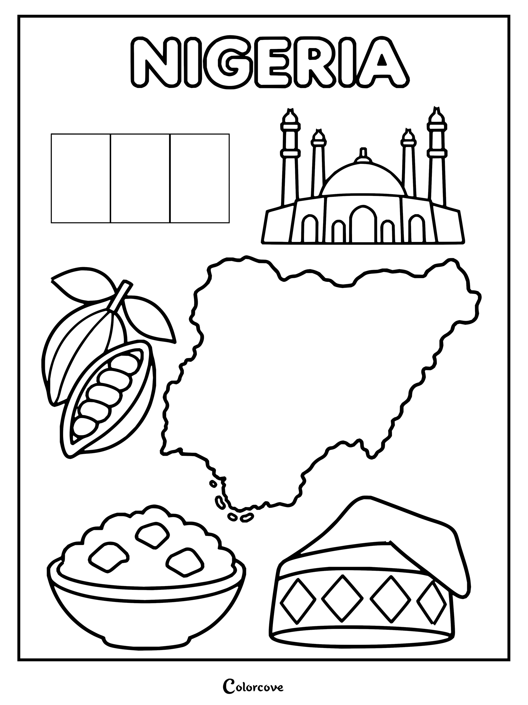
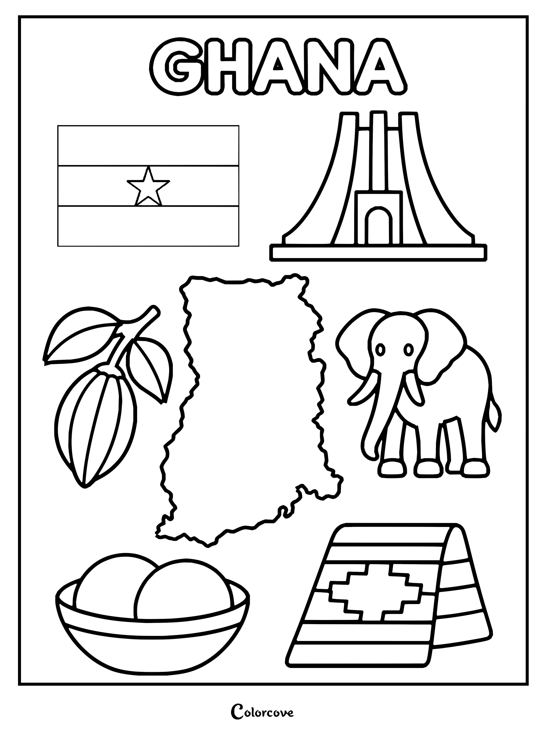
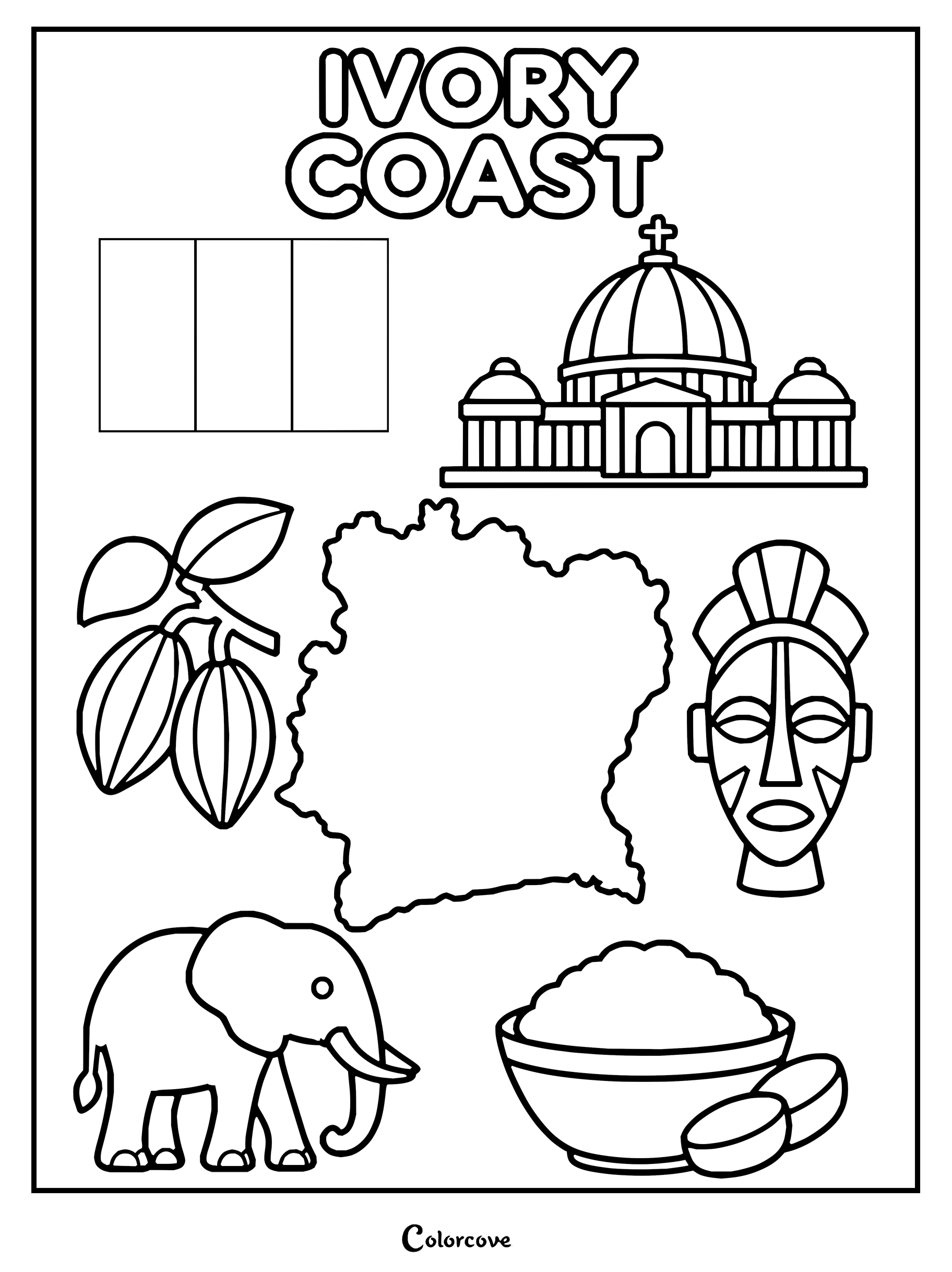
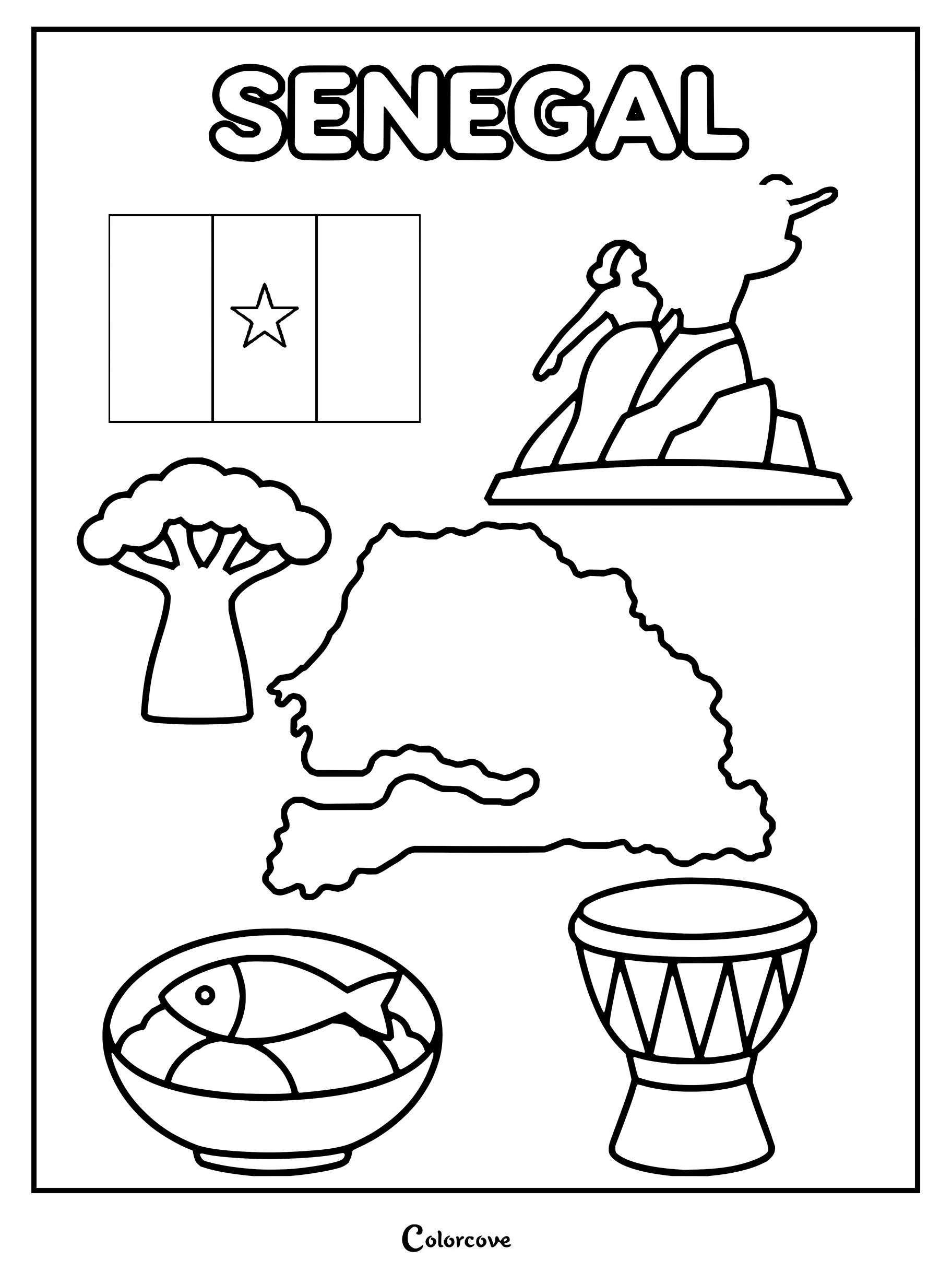
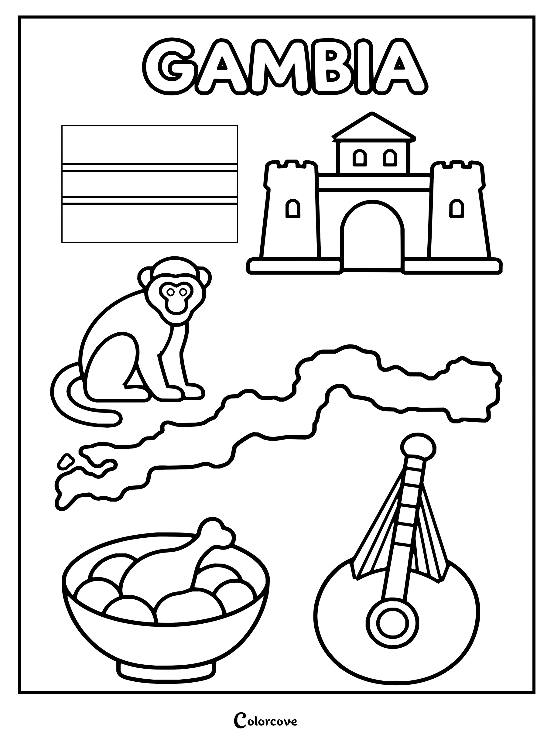
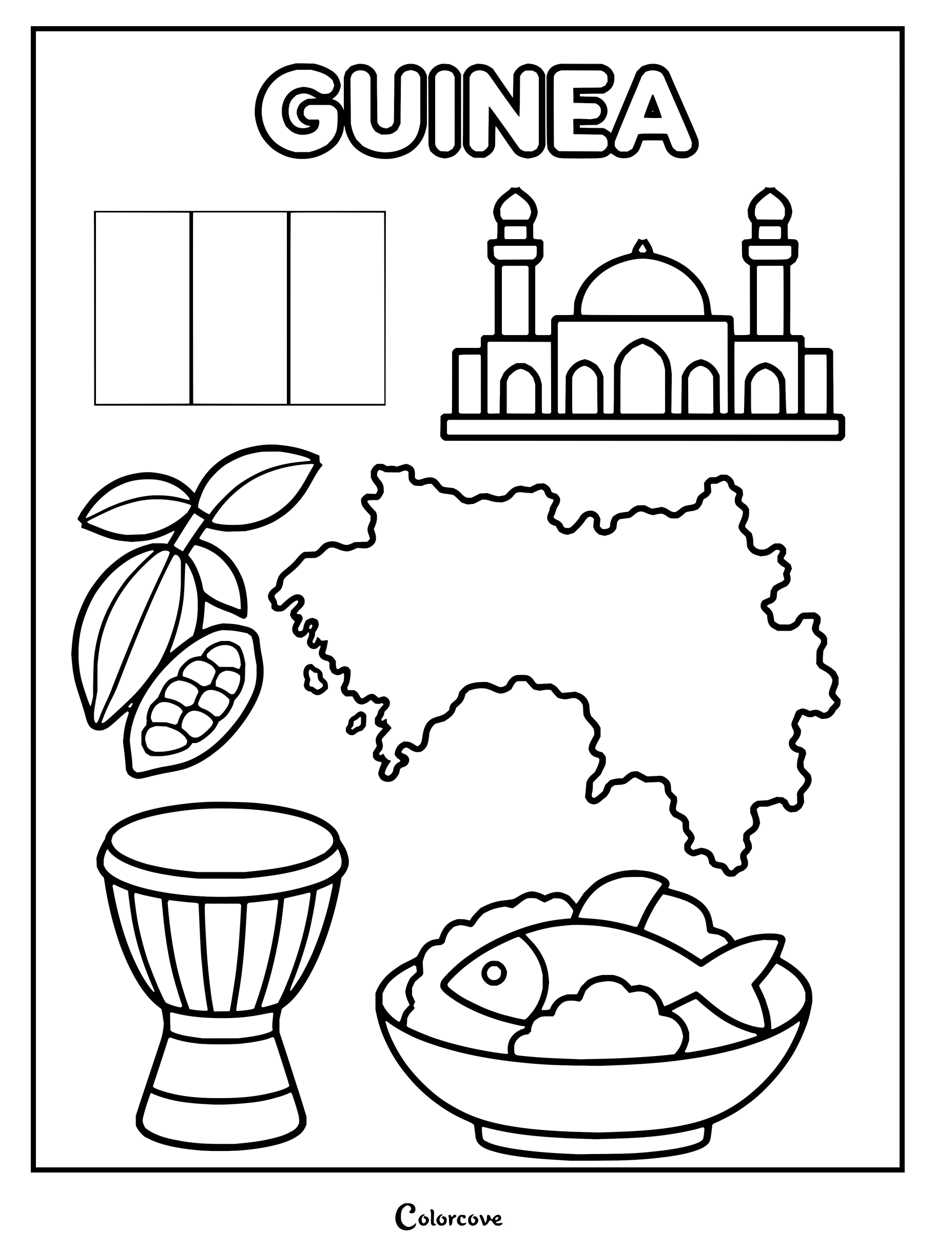
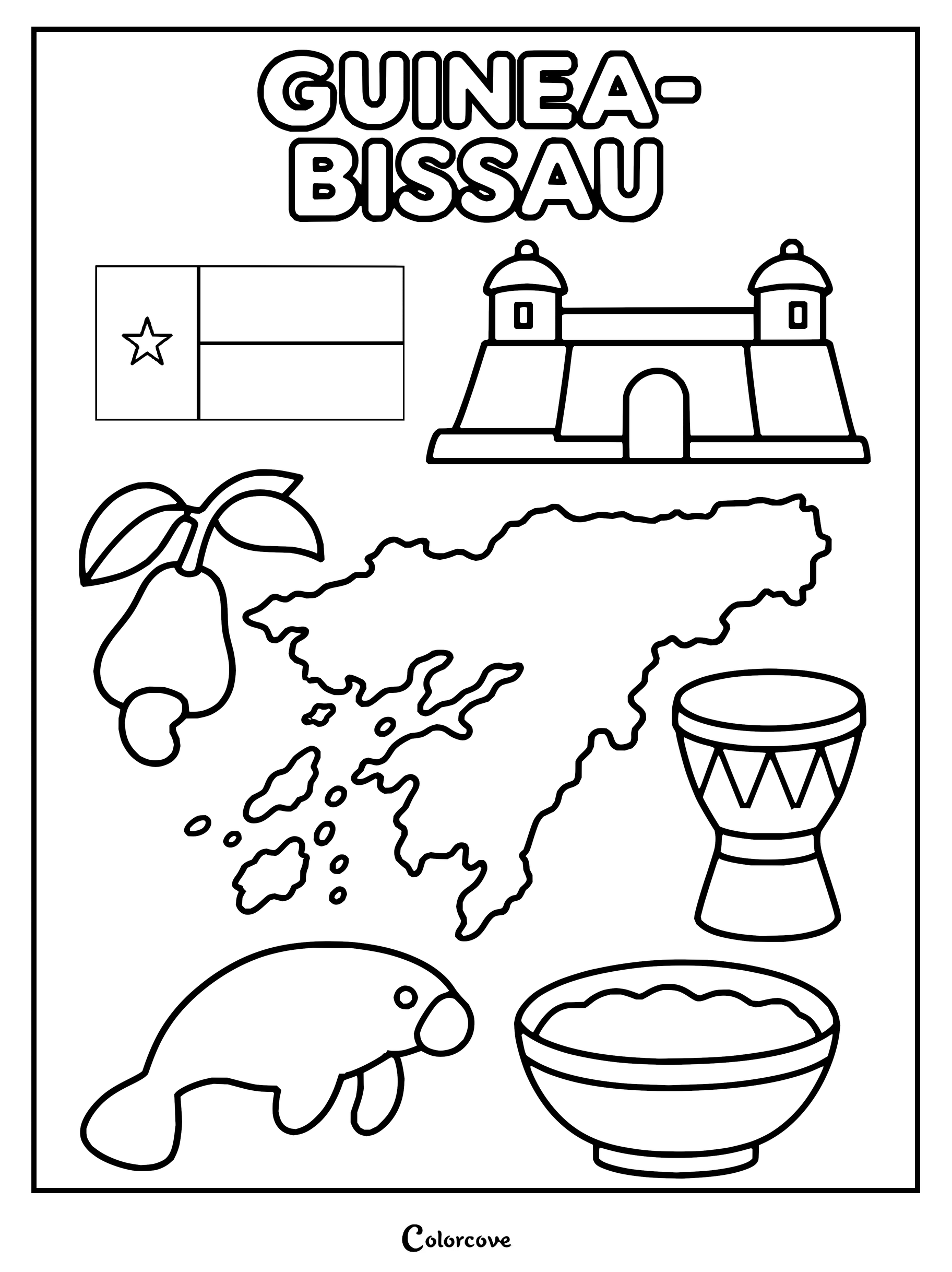
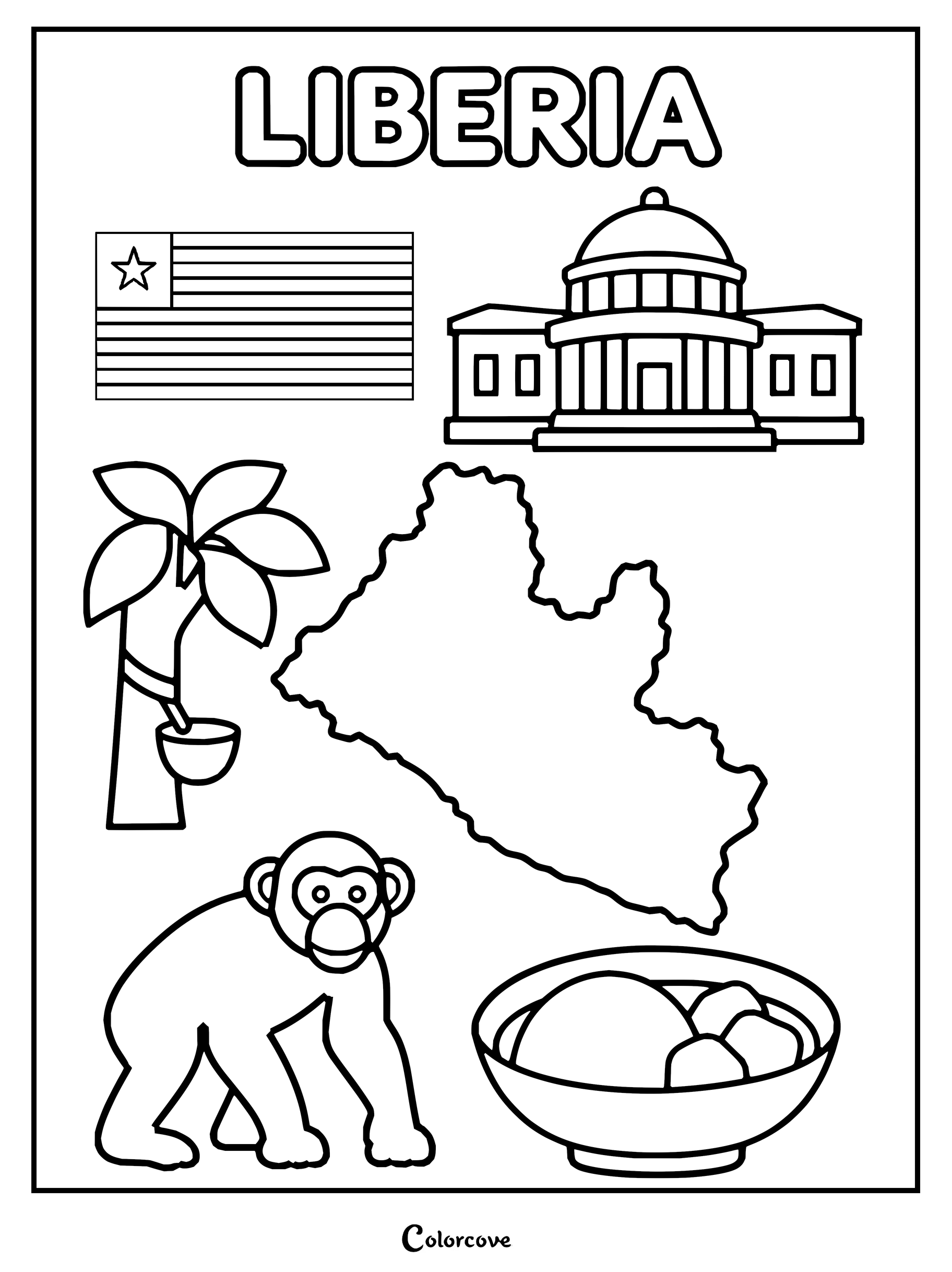
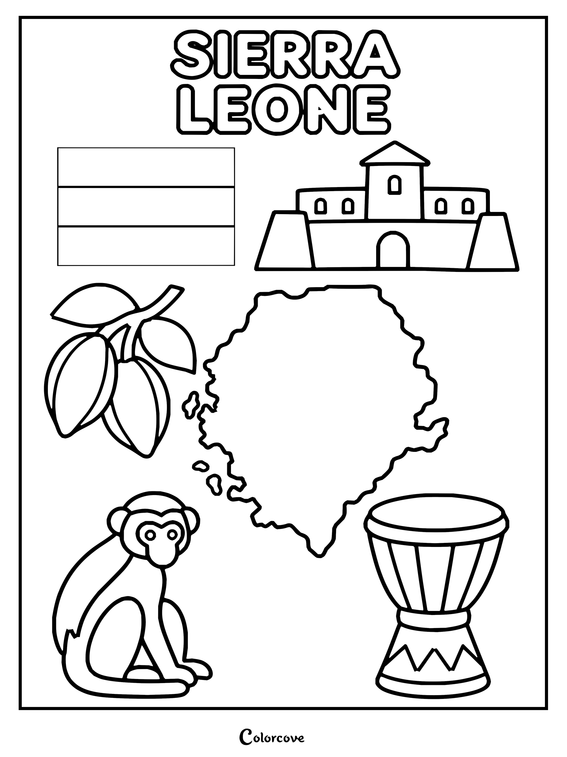
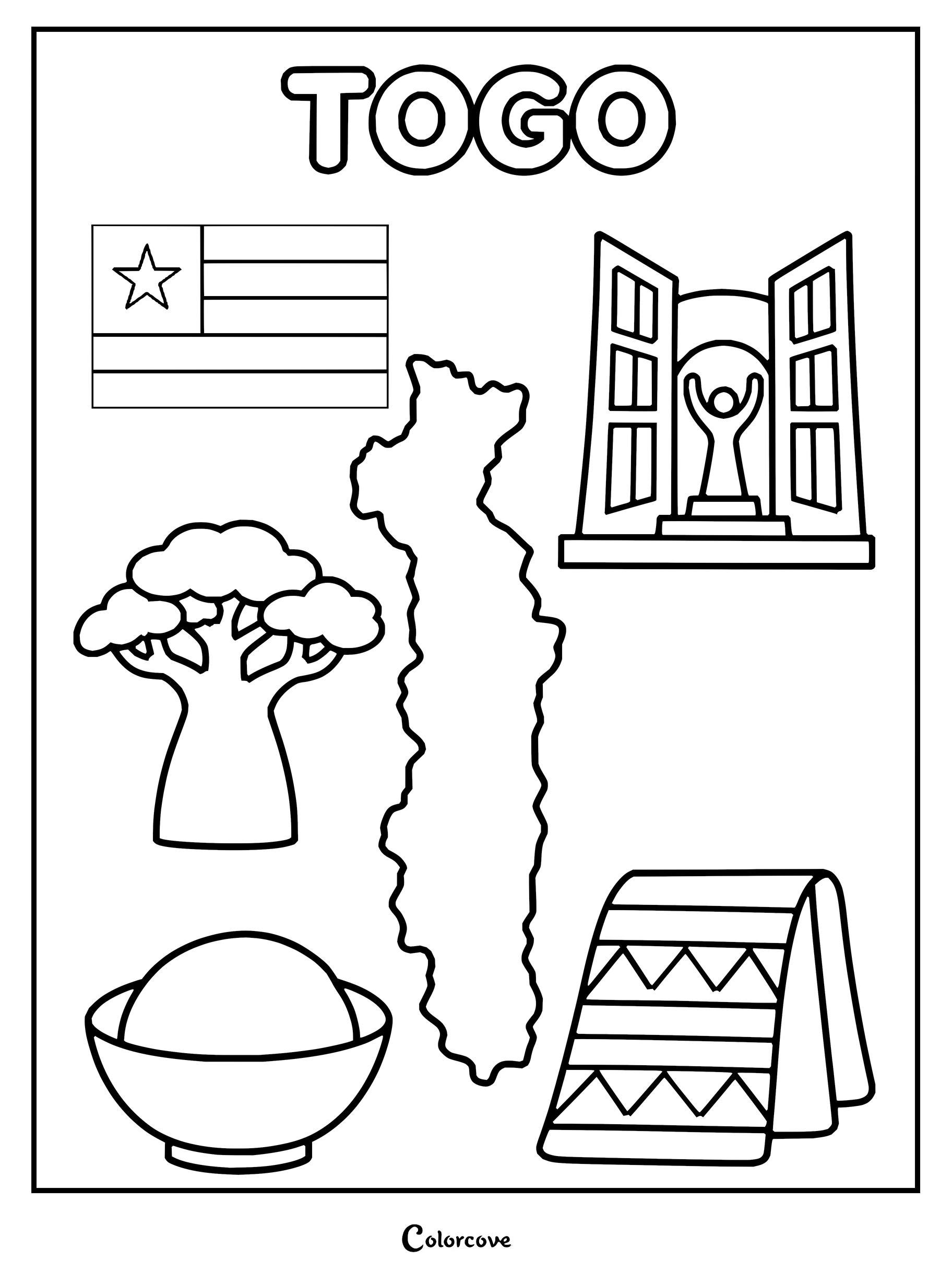
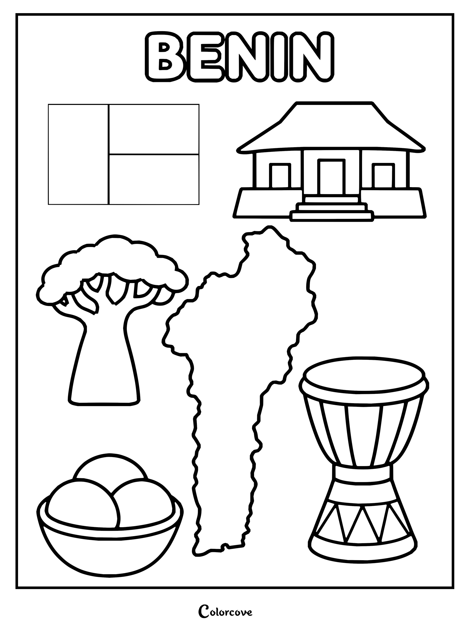
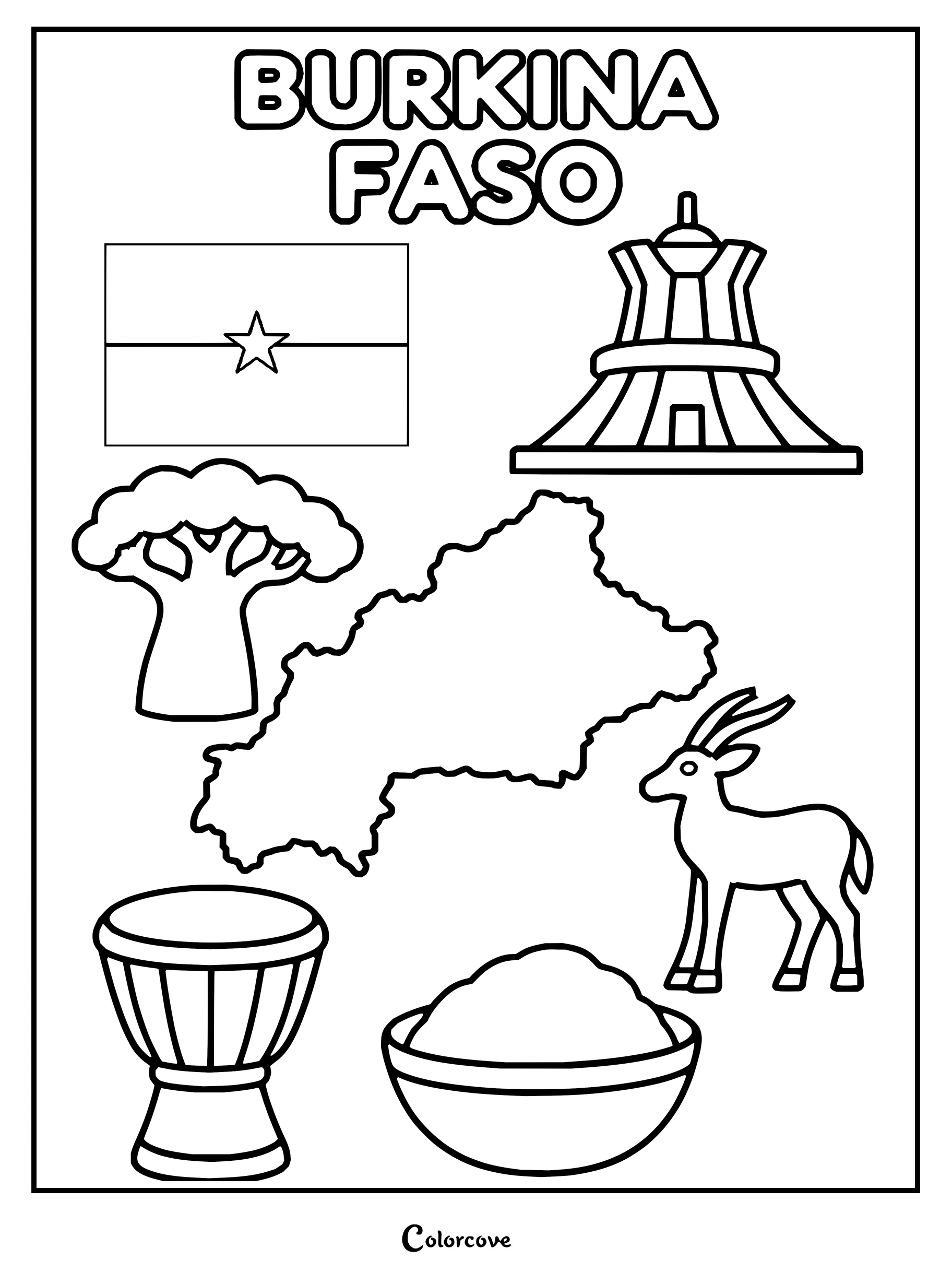
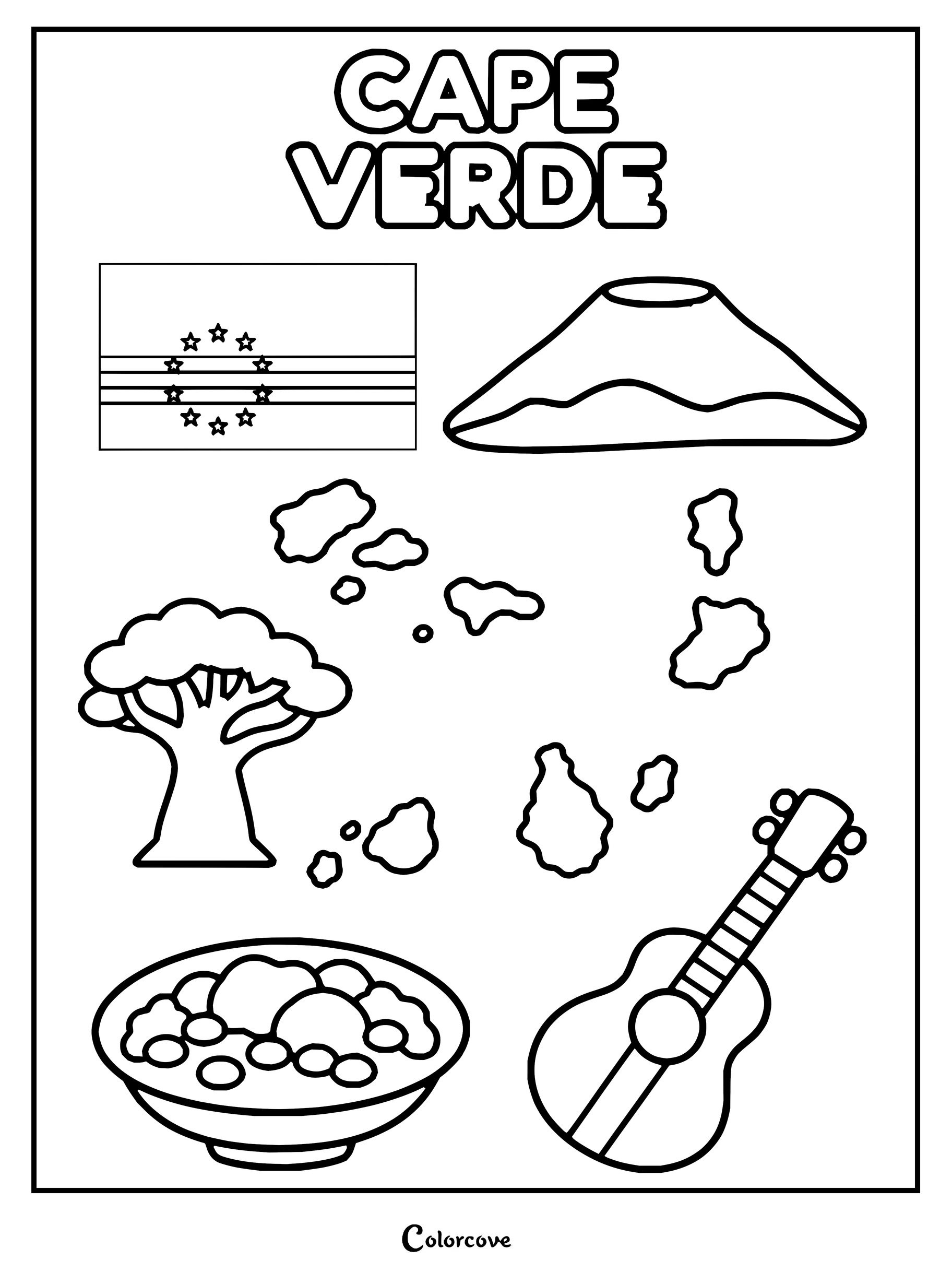
Learn about Nigeria with this fun cultural country coloring page.Explore Ghana with this fun and educational coloring page featuring cultural symbols.Explore the culture of Ivory Coast with this fun printable coloring page.Educational coloring sheet highlighting famous symbols and landmarks of Senegal.Educational coloring page featuring the map, flag, and cultural symbols of Gambia.Explore Guinea with this educational coloring page featuring cultural symbols.Explore Guinea Bissau with national symbols, a map, and landmarks.Outline drawing of Liberia featuring national landmarks, map, and cultural elements.Explore the geography, culture, and wildlife of Sierra Leone with this educational coloring page.Discover Togo with this detailed coloring page featuring its map and symbols.Educational coloring page featuring various cultural and geographical symbols of Benin.Educational coloring sheet featuring the flag, map, and cultural symbols of Burkina Faso.Color the map, flag, and cultural symbols of Cape Verde.
Central African Countries
Explore the dense equatorial heart of the Congo rainforest basin framed by towering volcanic peaks. Using layered moss greens and deep mahogany tones helps colorists capture the wilderness within every Central African coloring sheet.
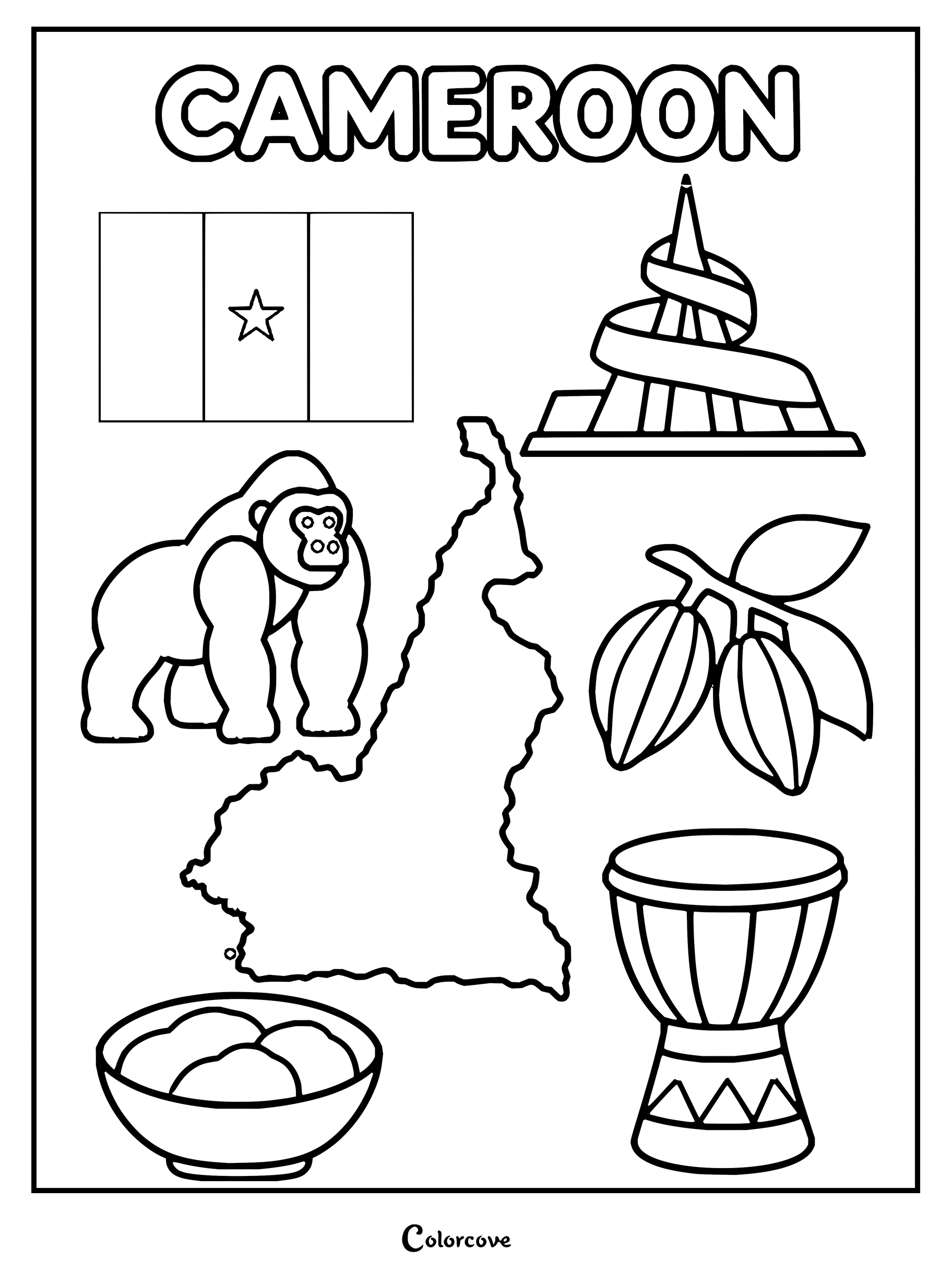
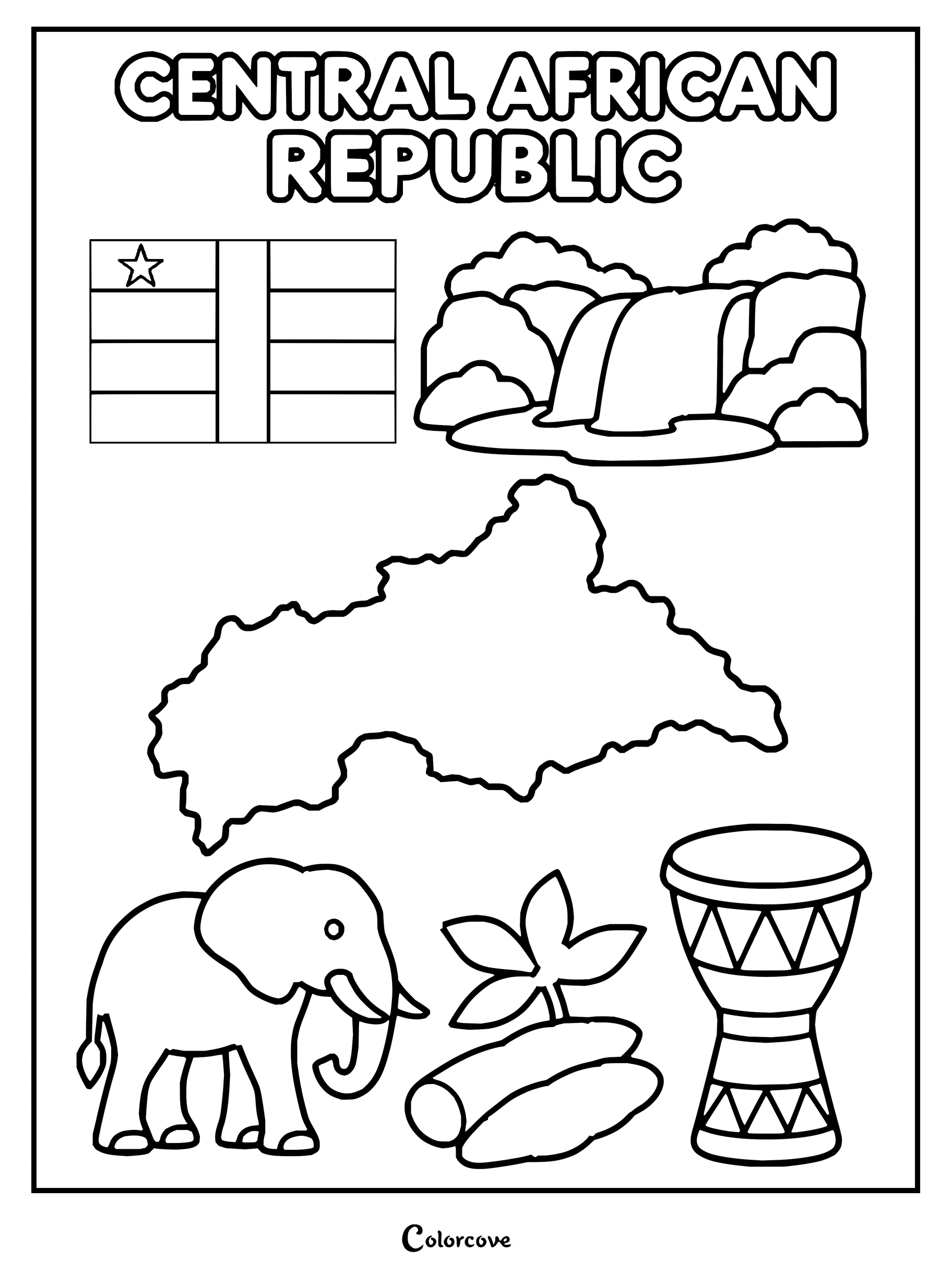
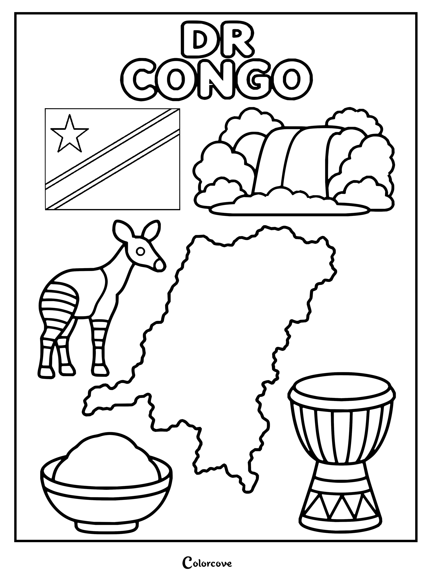
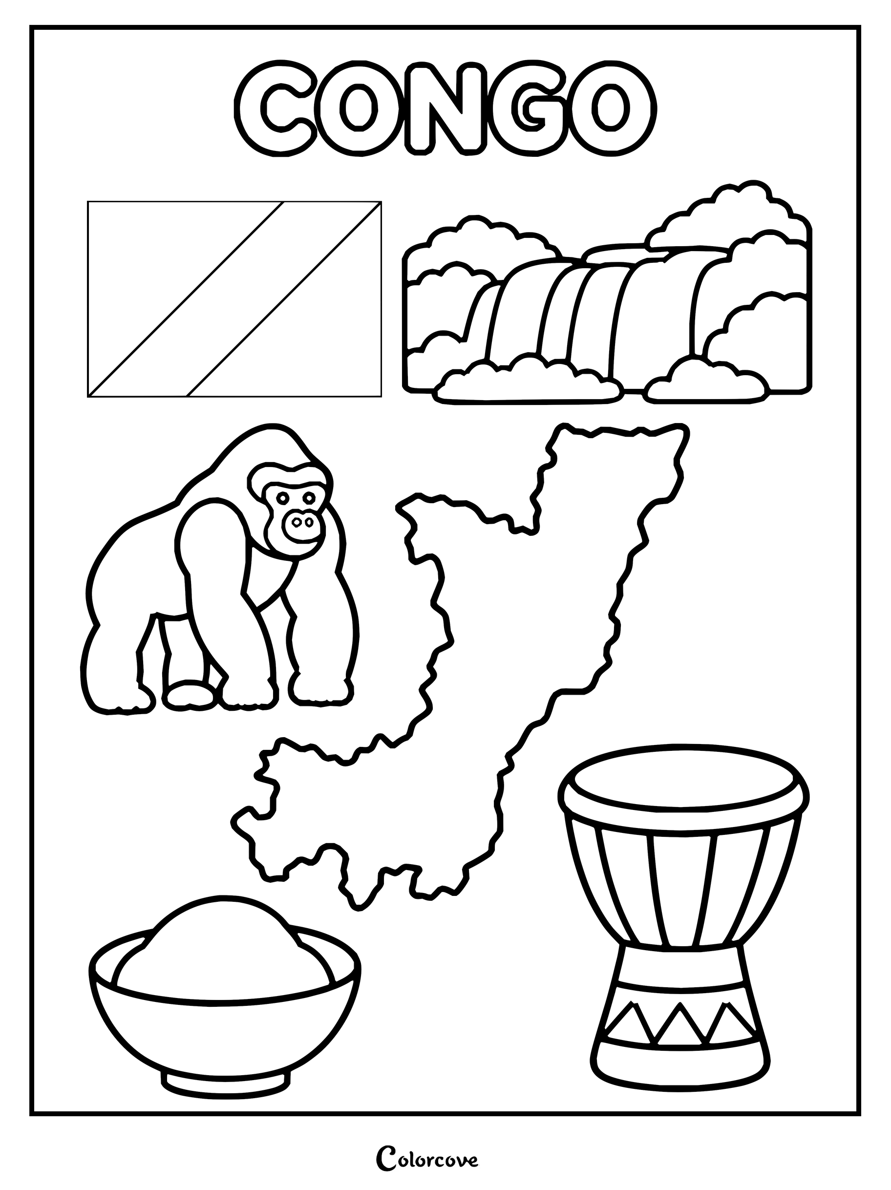
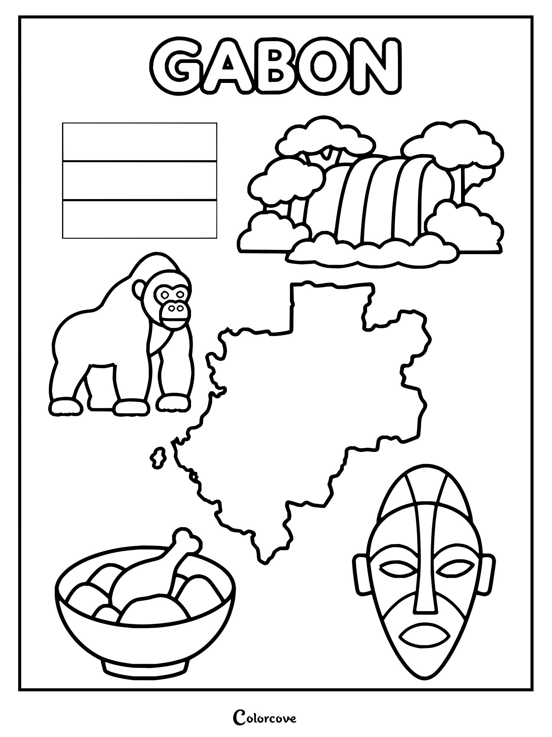
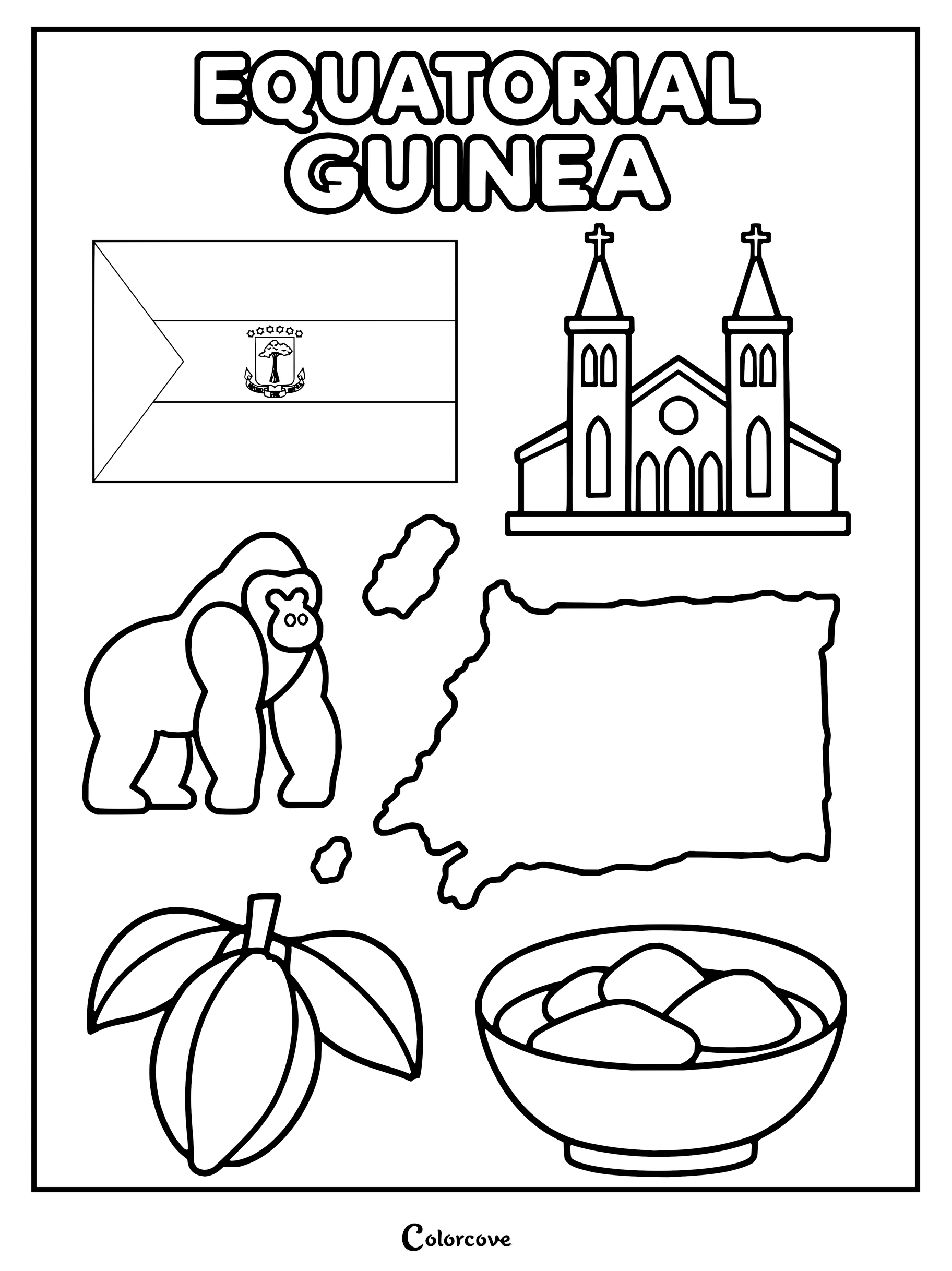
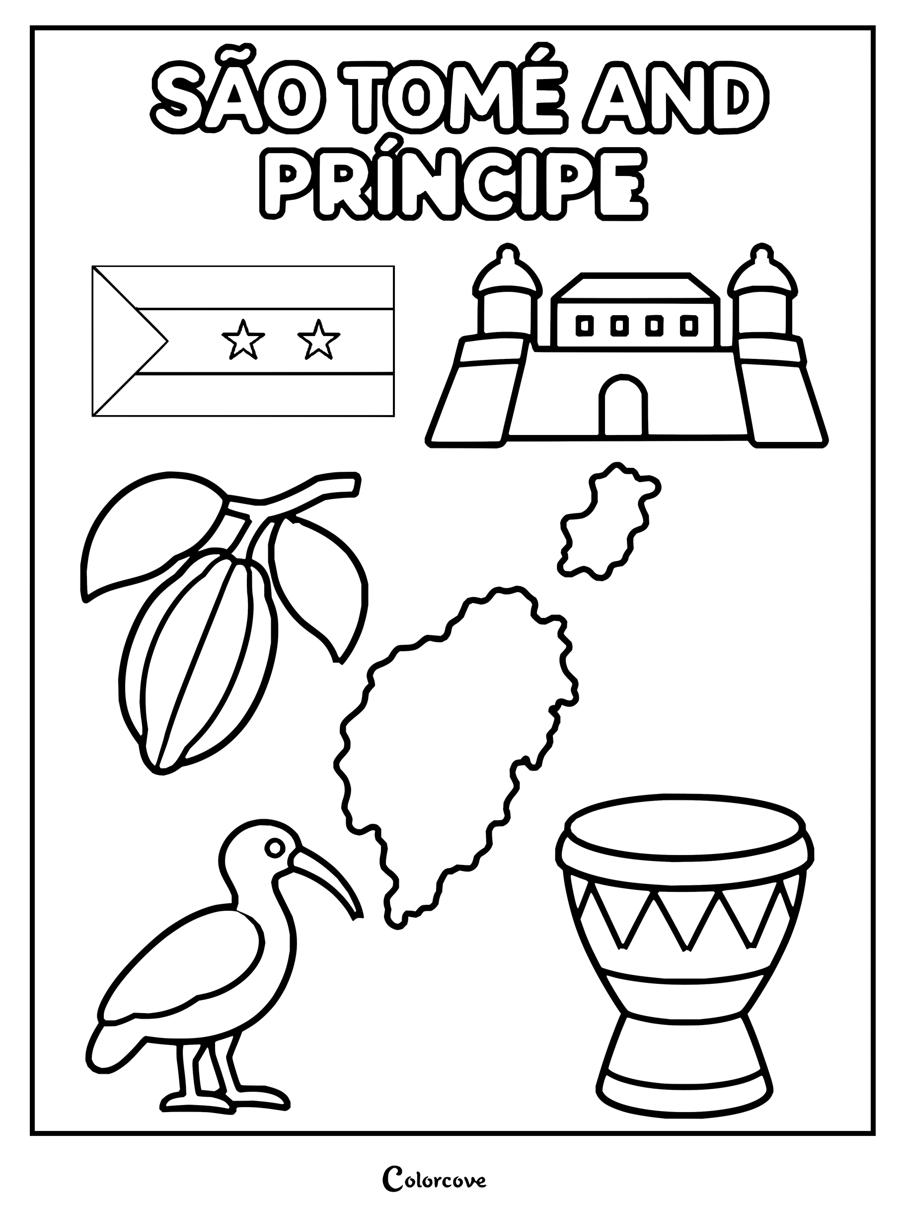
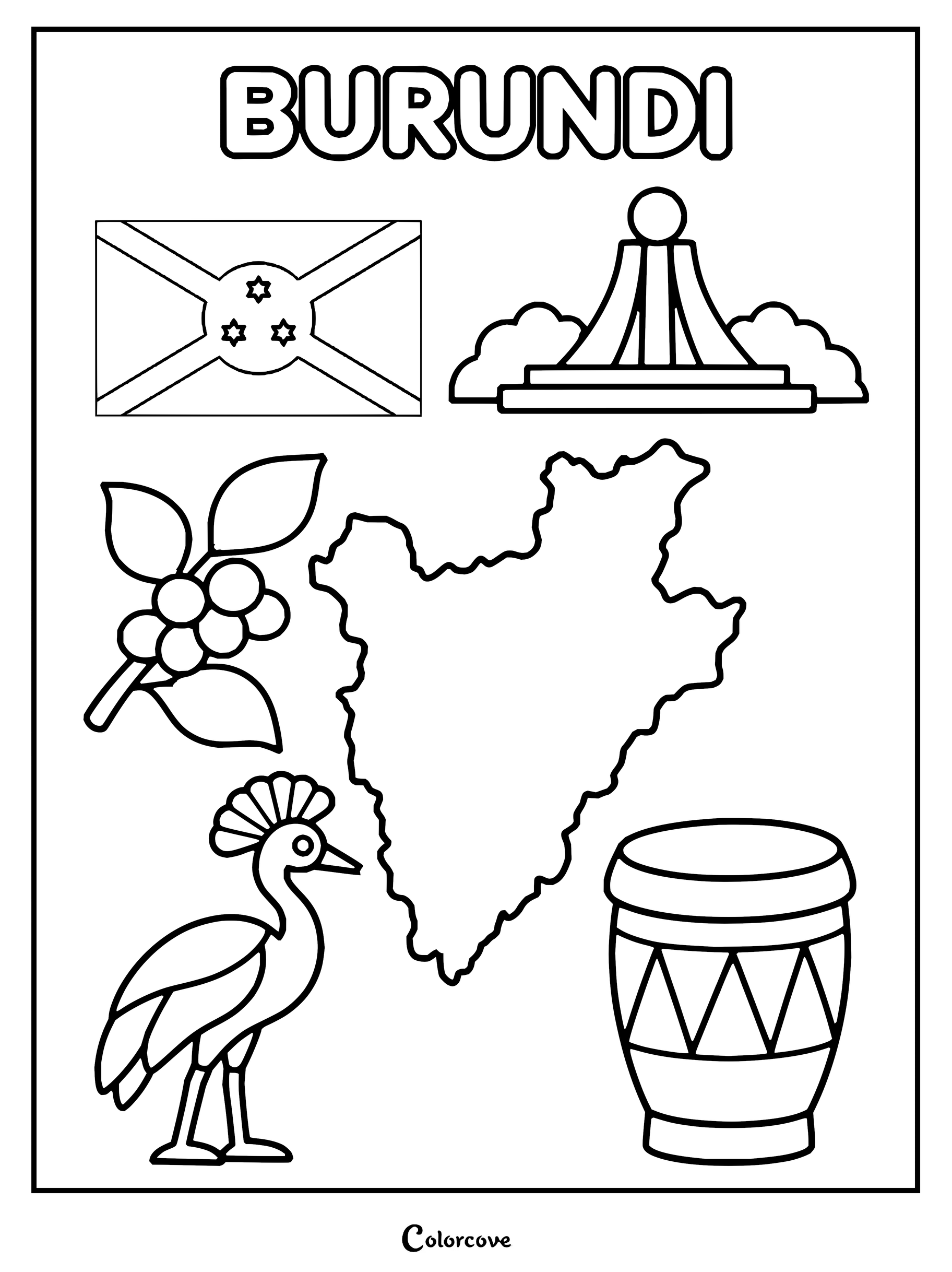
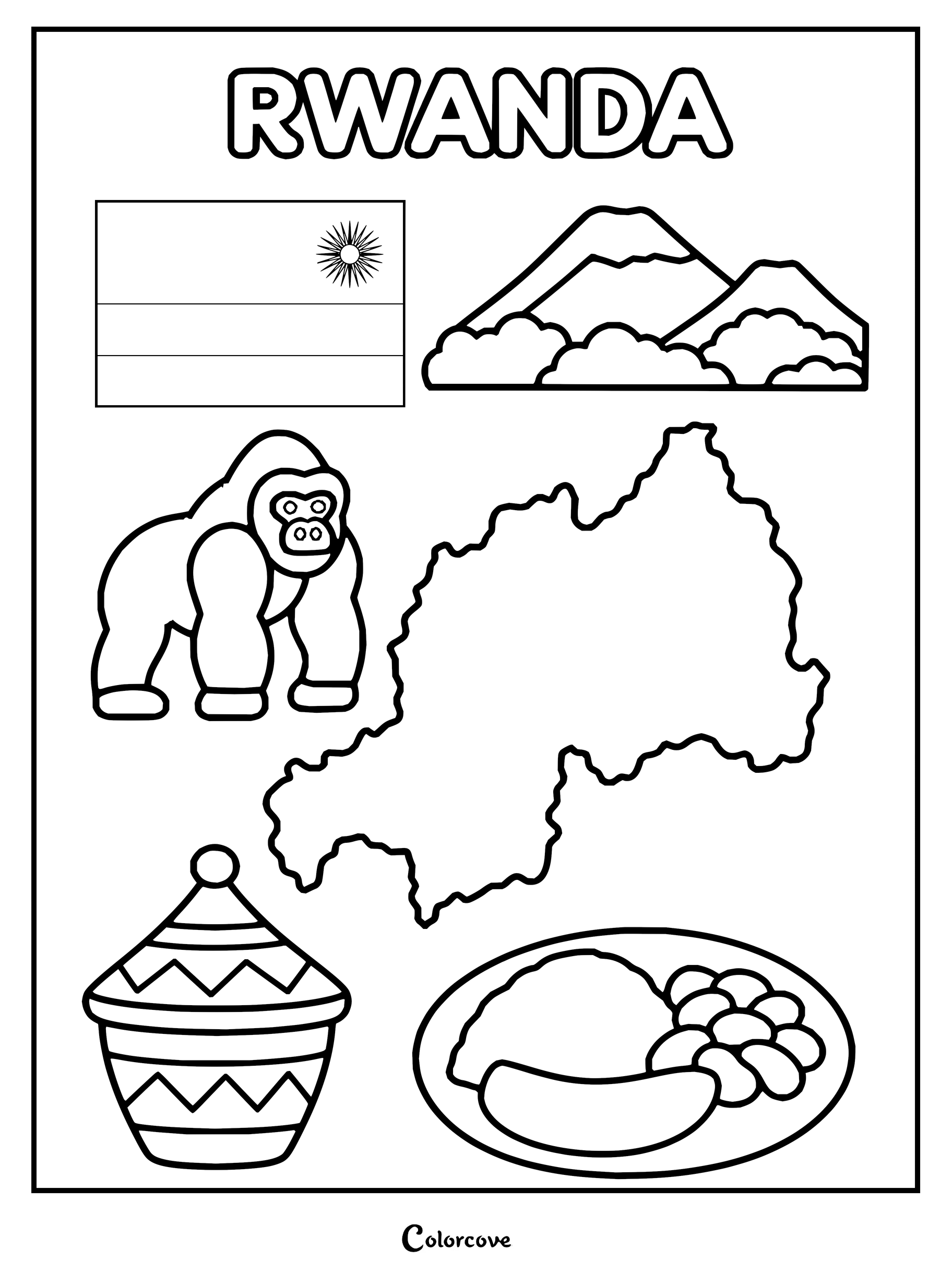
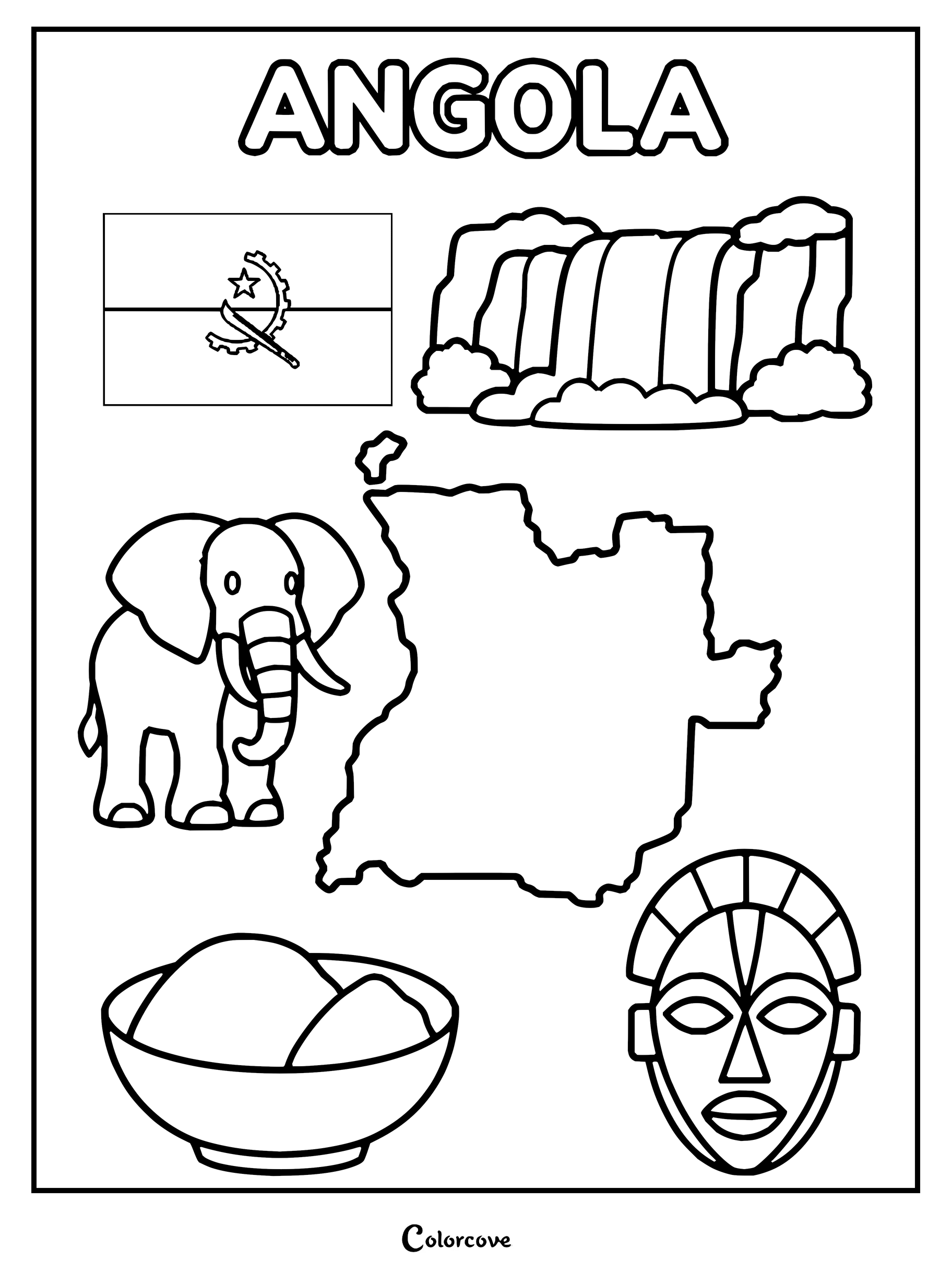
Discover Cameroonian culture with this map, flag, and animal coloring sheet.Explore the geography and culture of the Central African Republic.Educational coloring page featuring the geography, flag, and symbols of DR Congo.Explore the culture and geography of Congo with this printable activity sheet.Educational coloring page showcasing Gabon’s map, flag, gorilla, and cultural symbols.Equatorial Guinea coloring page featuring national symbols and landmarks.Explore São Tomé and Príncipe with national symbols, map, and cultural icons.Explore the culture of Burundi with this fun printable coloring page featuring iconic national symbols.Explore Rwanda with a fun and educational coloring page.Explore Angola featuring the national flag, map, elephant, waterfall, and traditional mask.
East Africa and Indian Ocean
Witness the dramatic Great Rift Valley, vast savannah ecosystems, and tropical spice islands resting offshore. Rich acacia ambers and shimmering ocean teals add radiant depth to each East African country coloring page.
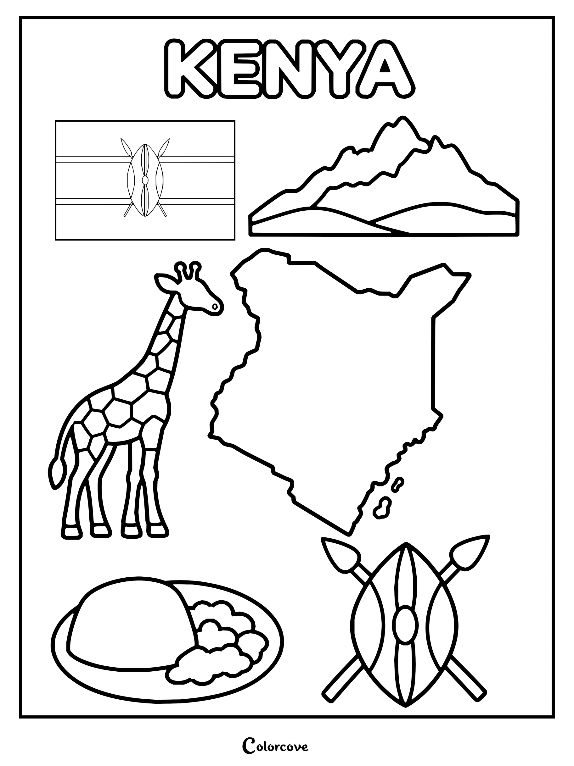
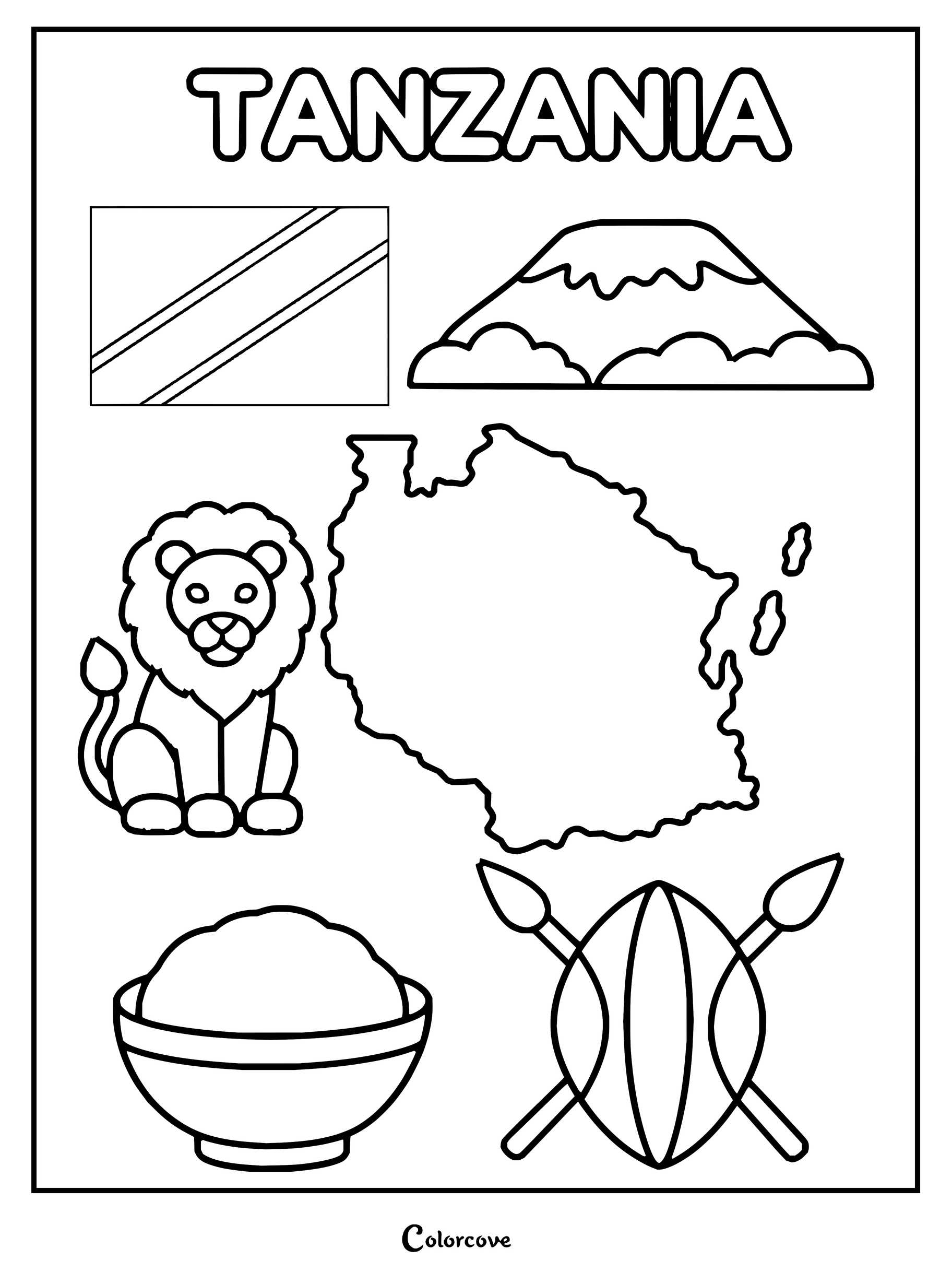
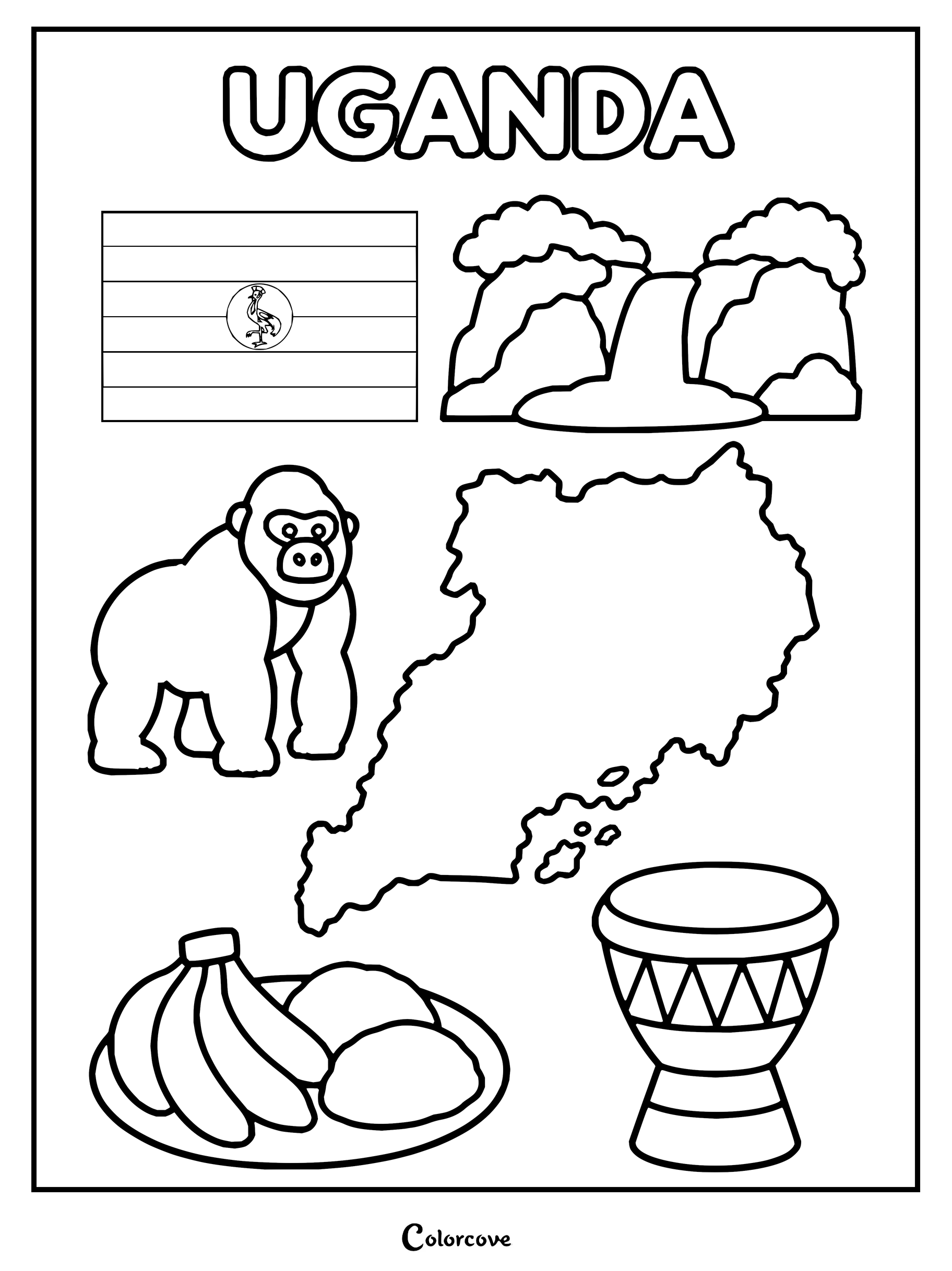
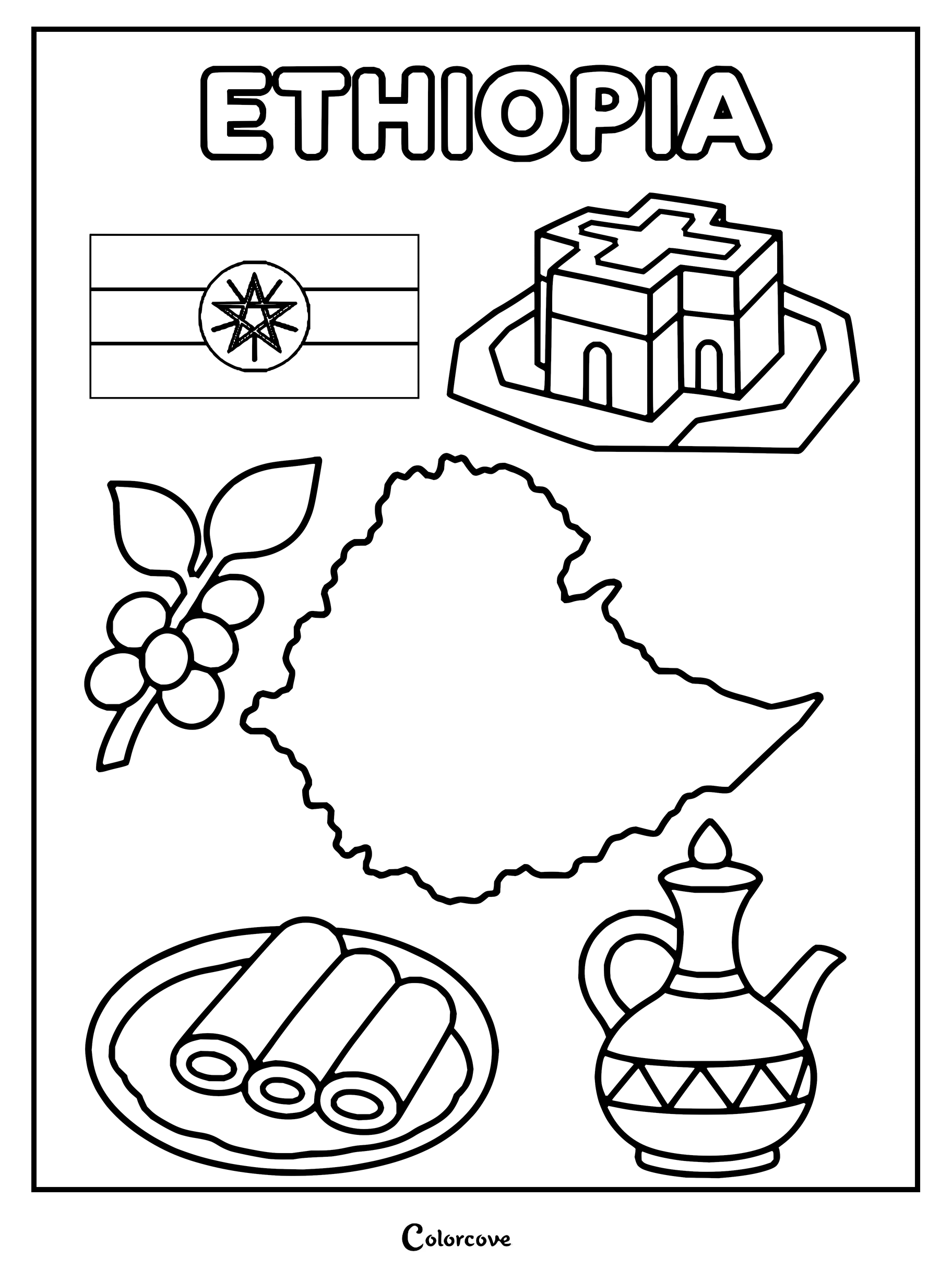
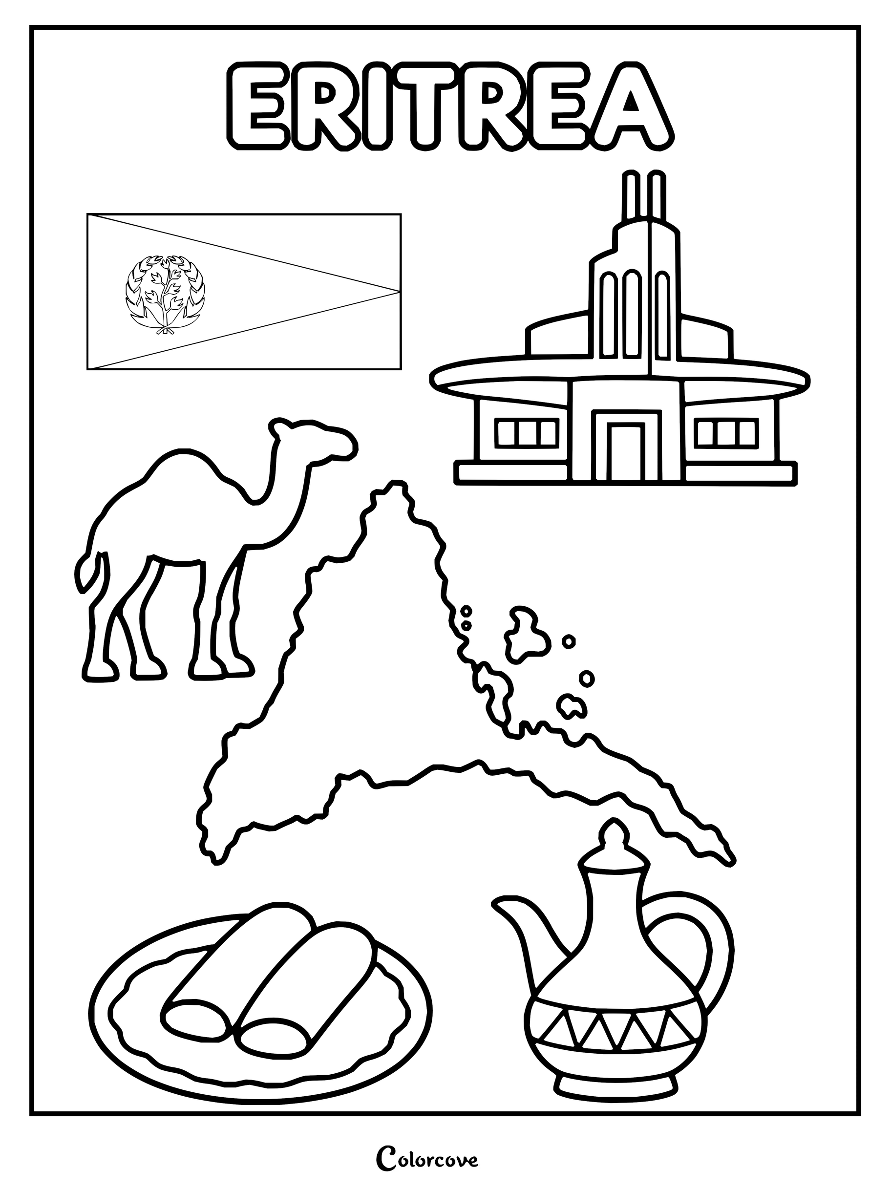
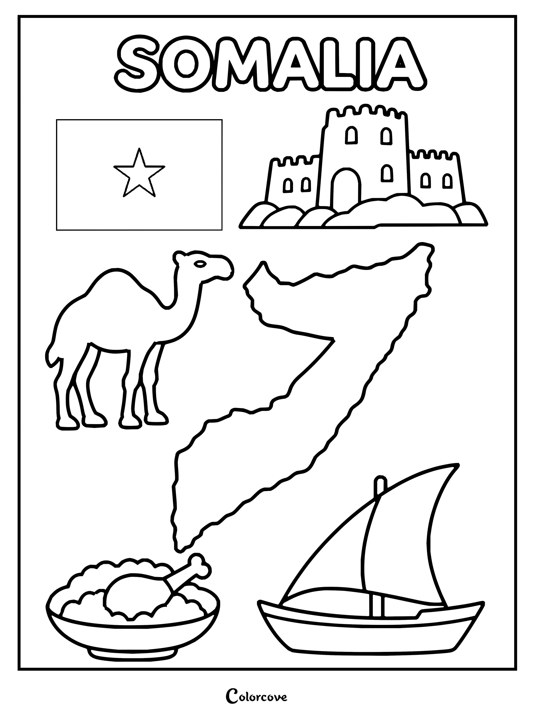
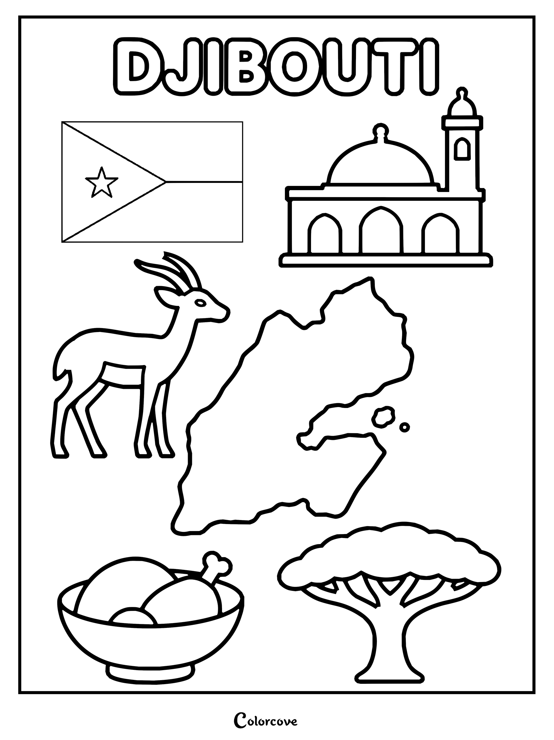
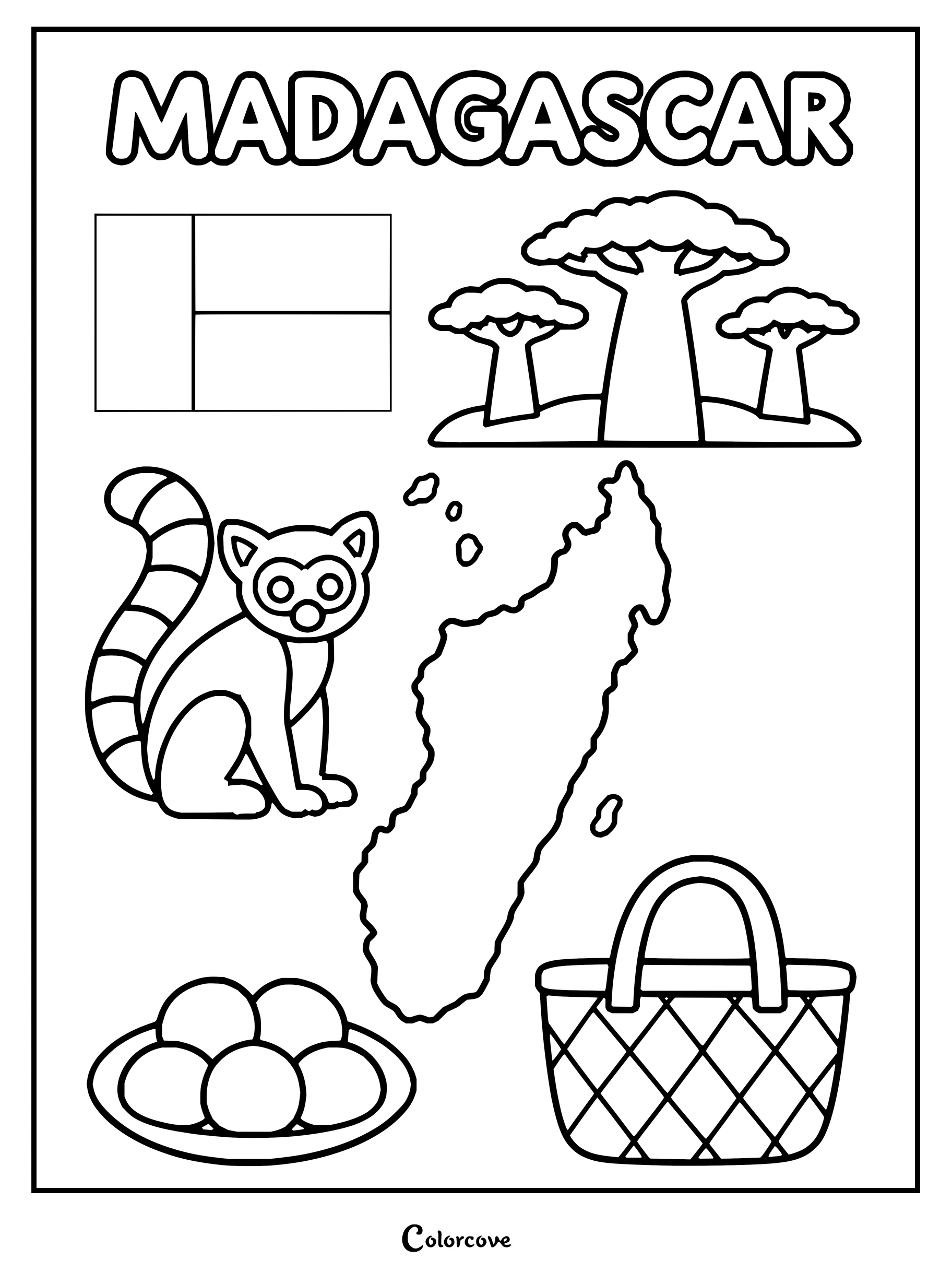
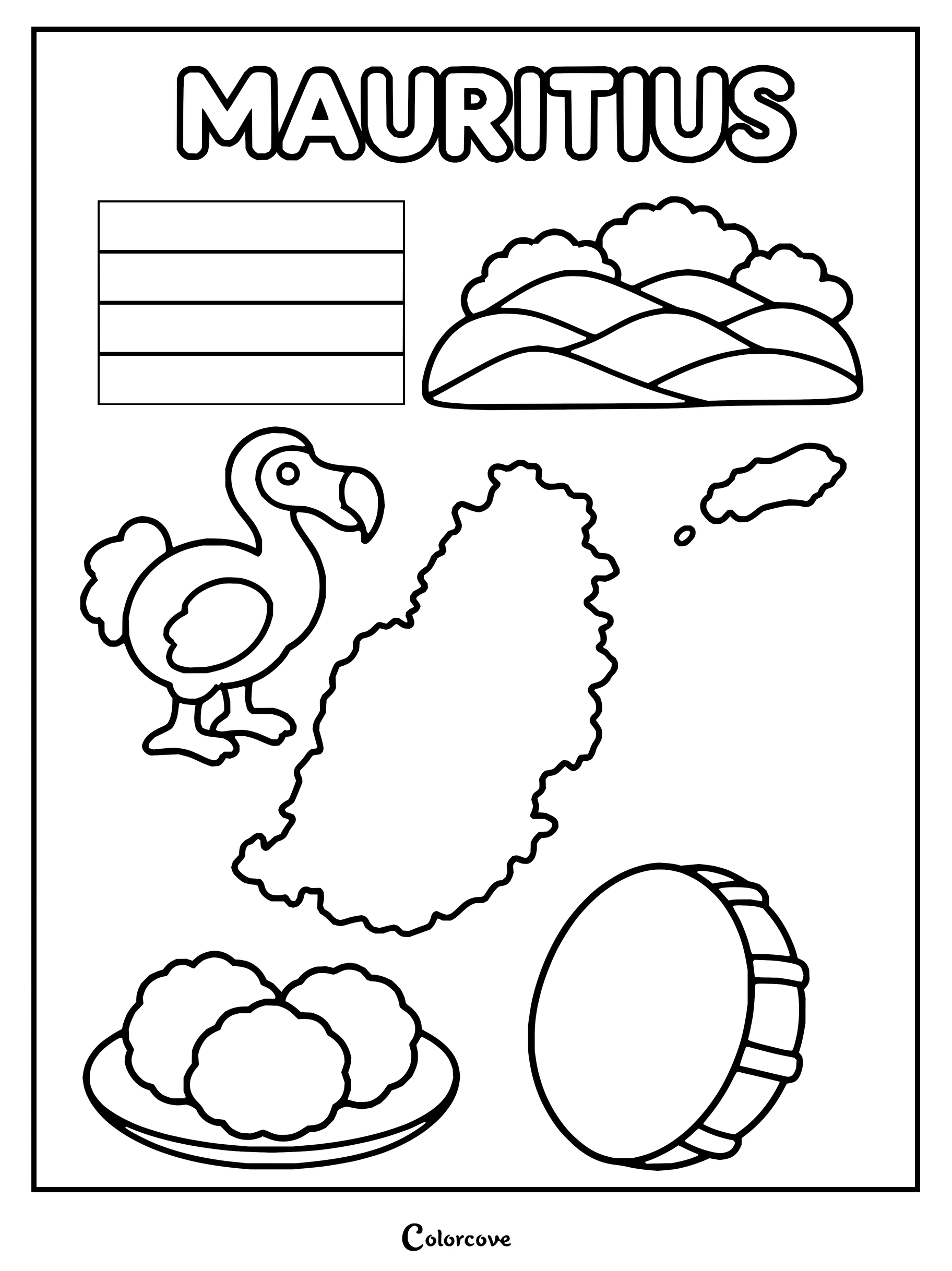
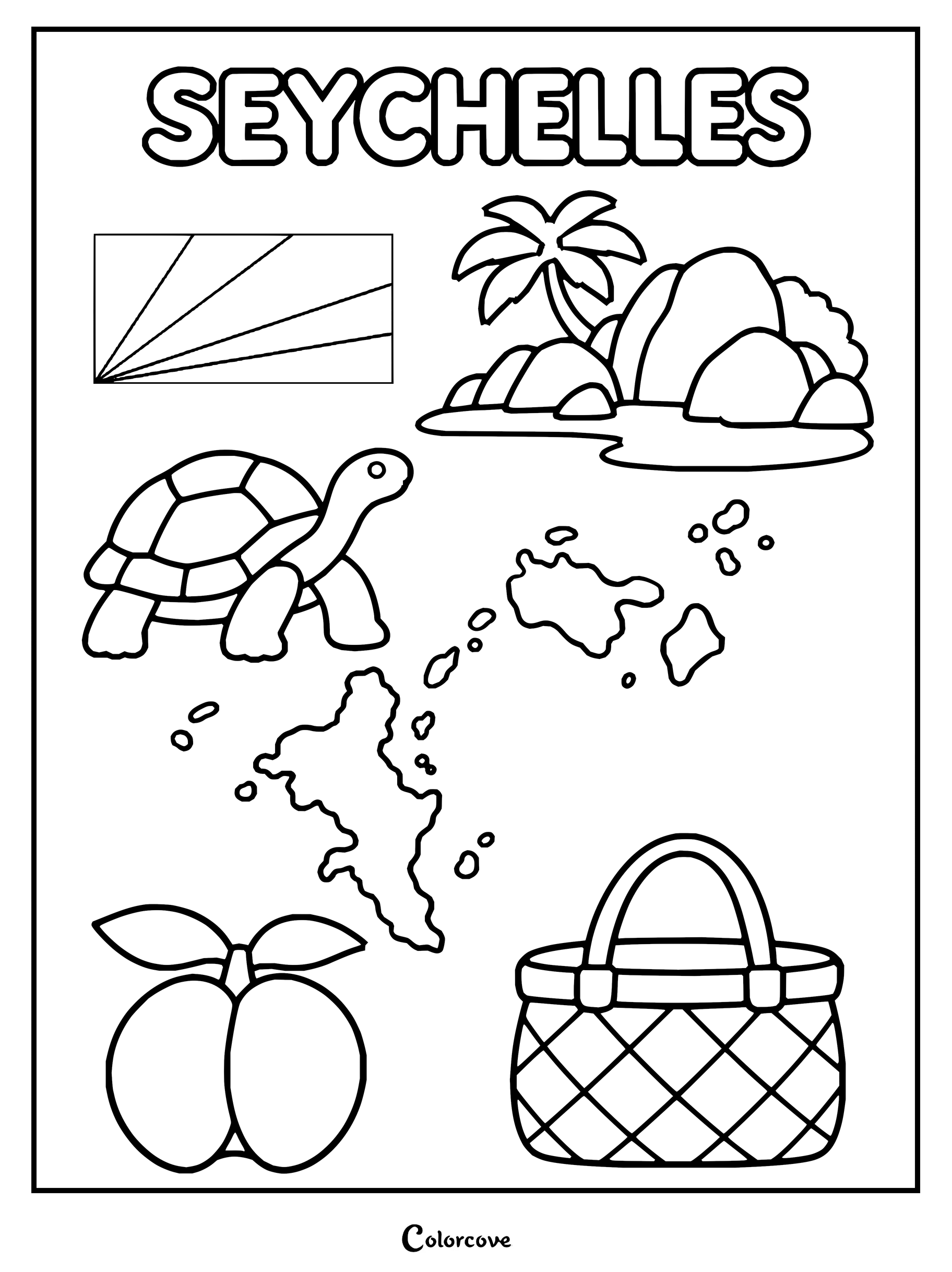
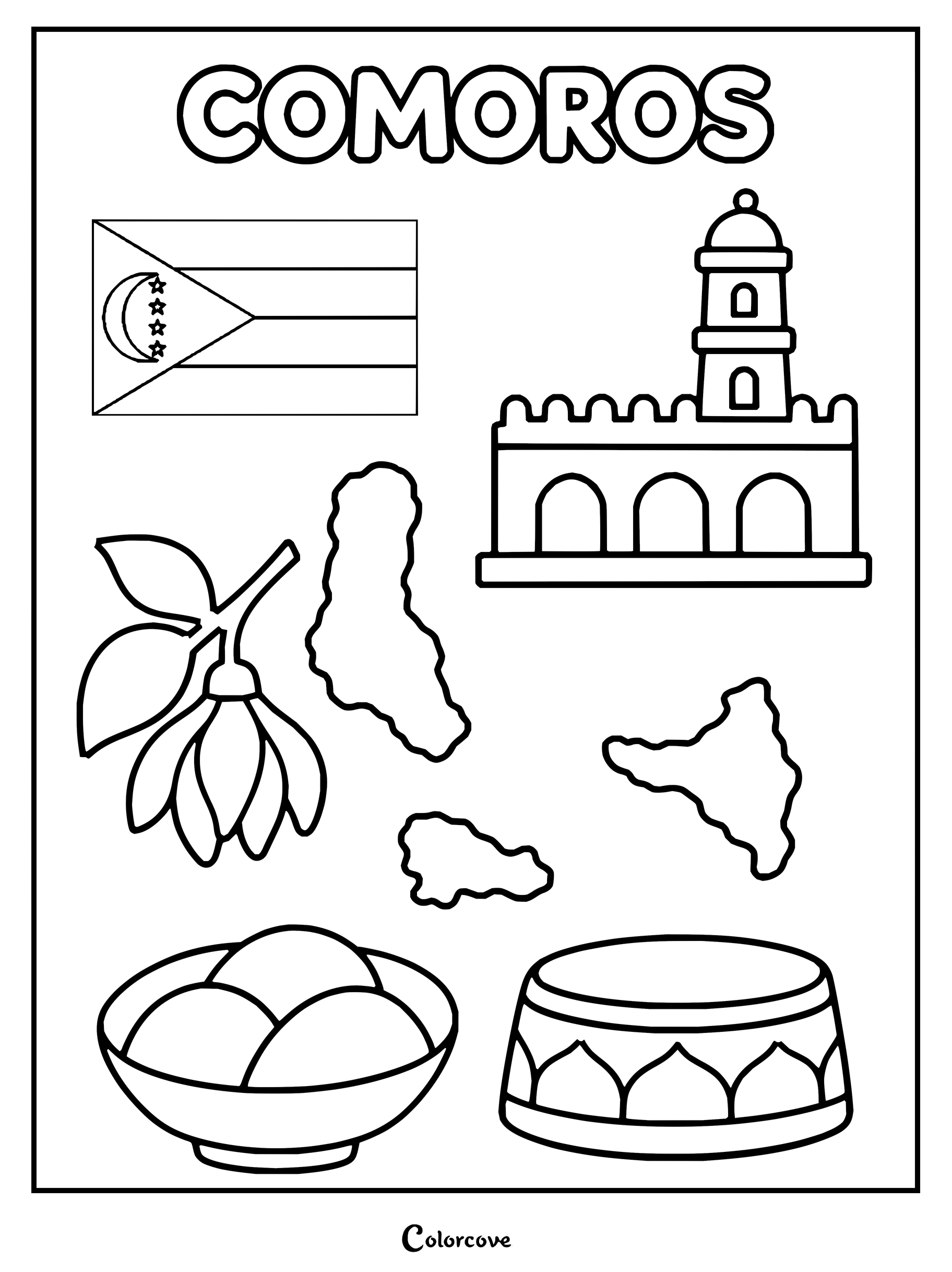
Explore Kenya with this educational coloring page featuring its national symbols.Explore Tanzania with this educational coloring page featuring iconic national symbols.Uganda geography and culture coloring page showing landmarks, flag, and map.Explore Ethiopia with cultural symbols like its map, flag, and coffee.Coloring page showing Eritrea map, flag, camel, food, and architecture.Somalia coloring page featuring landmarks, map, flag, and cultural elements.Djibouti coloring page featuring national symbols, map, flag, and cultural icons.Explore Madagascar with this educational country coloring page featuring a lemur and map.Mauritius page featuring the national flag, map, and dodo.Discover Seychelles with a map, giant tortoise, and tropical beach icons.Explore the unique culture and landmarks of Comoros.
Southern African Countries
Admire sweeping Kalahari desert plains, dramatic coastline capes, and thriving wildlife parks spanning the continent’s southern tip. These diverse coloring pages encourage bold shading techniques using copper reds, sunset golds, and deep brush greens.
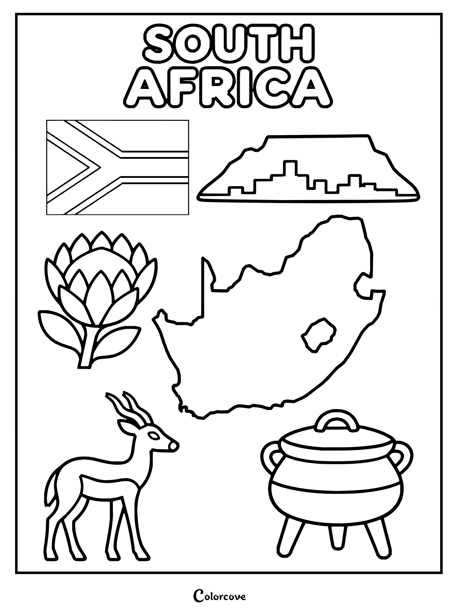
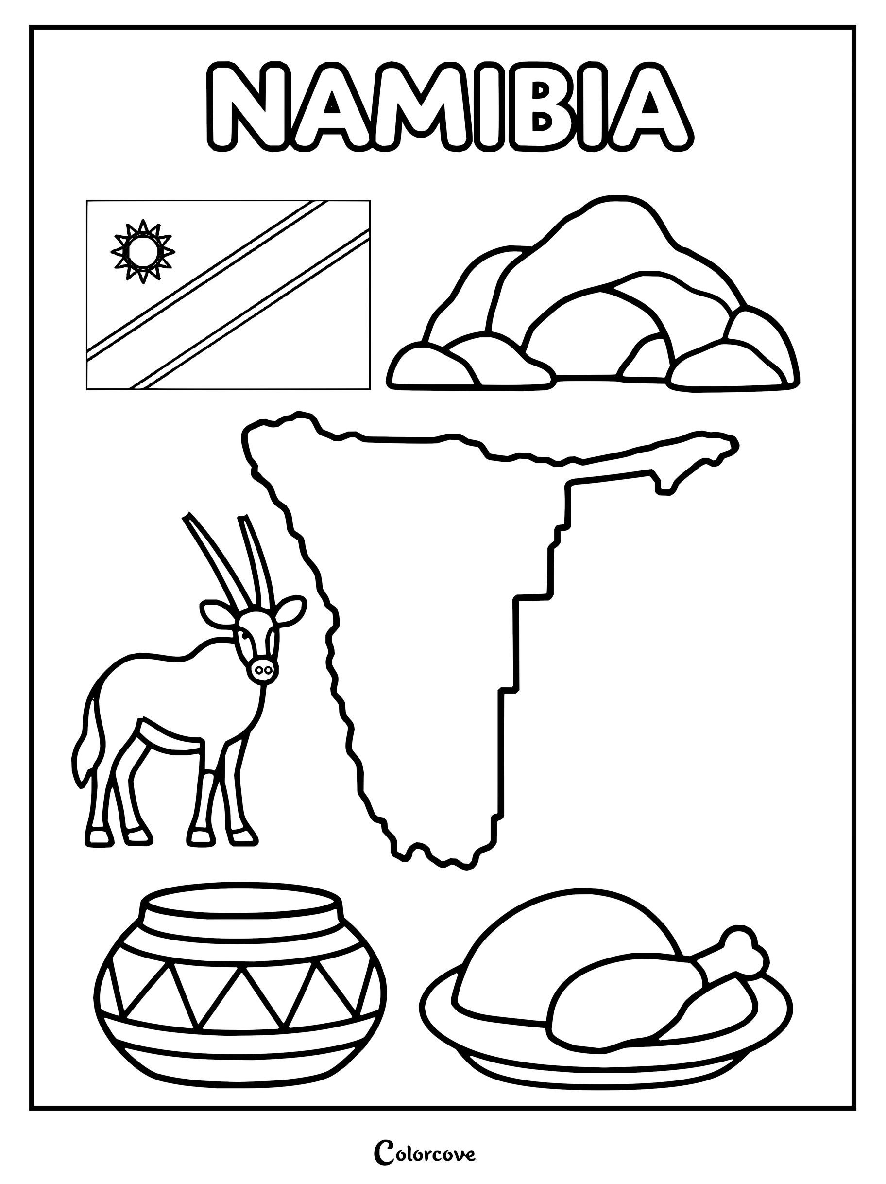
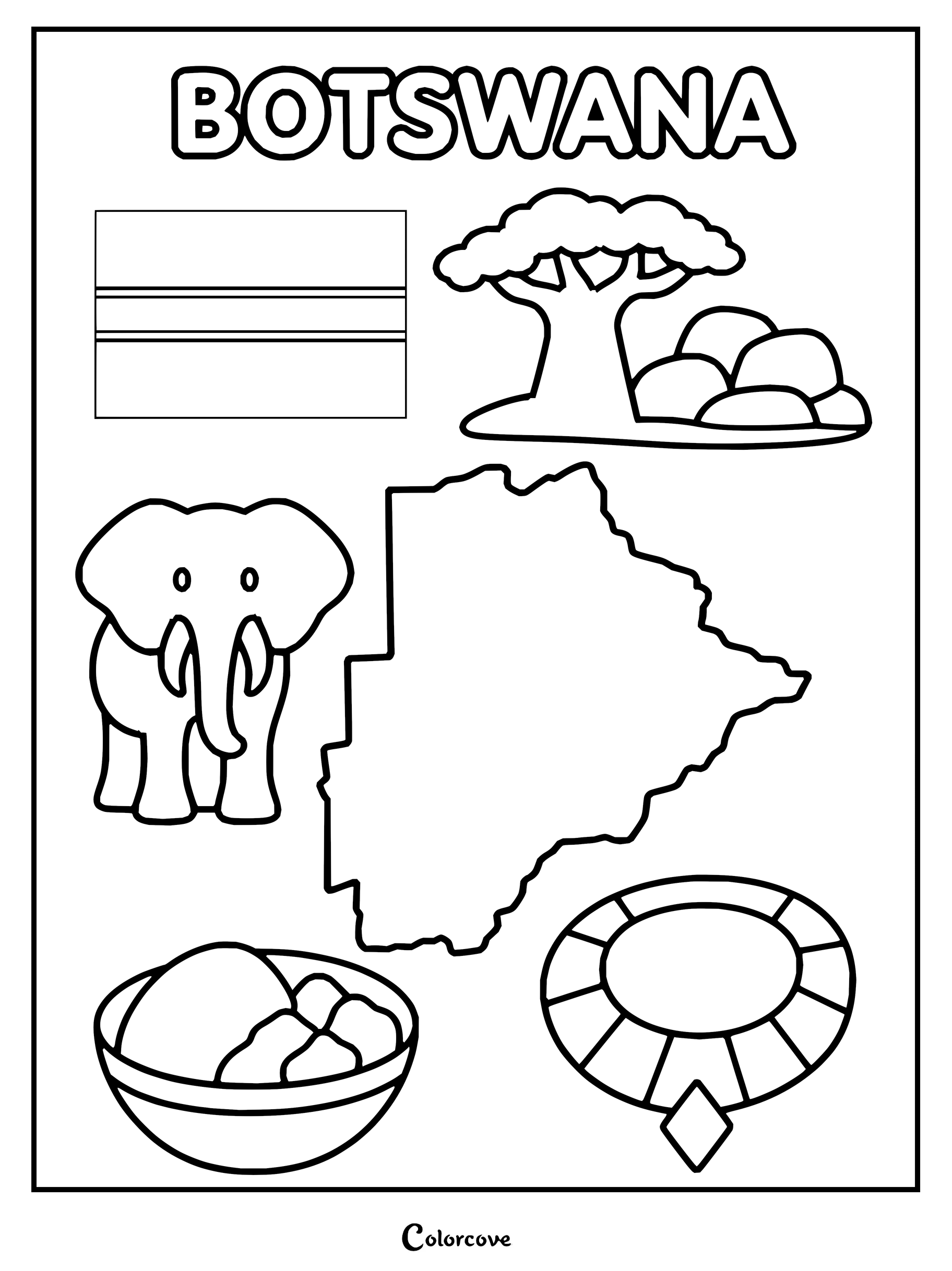
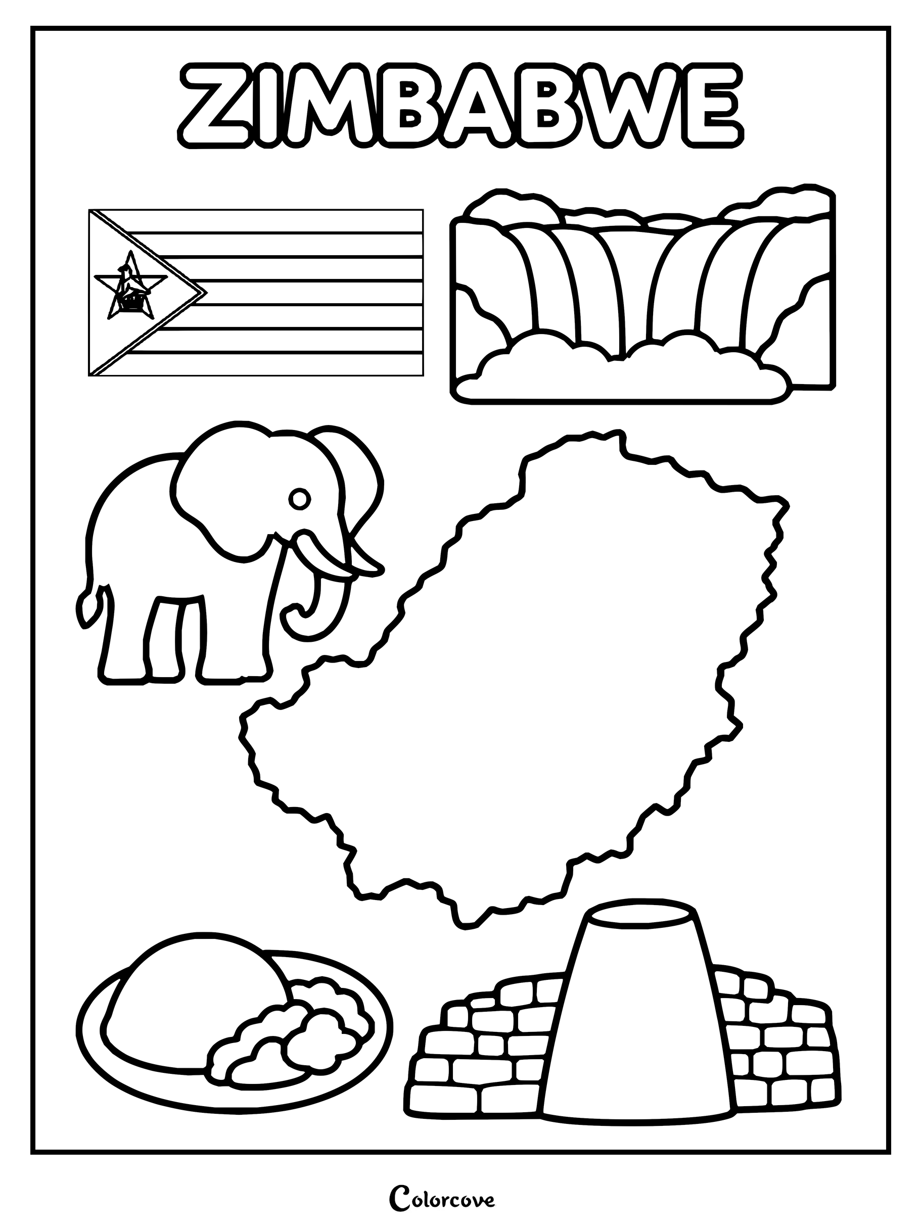
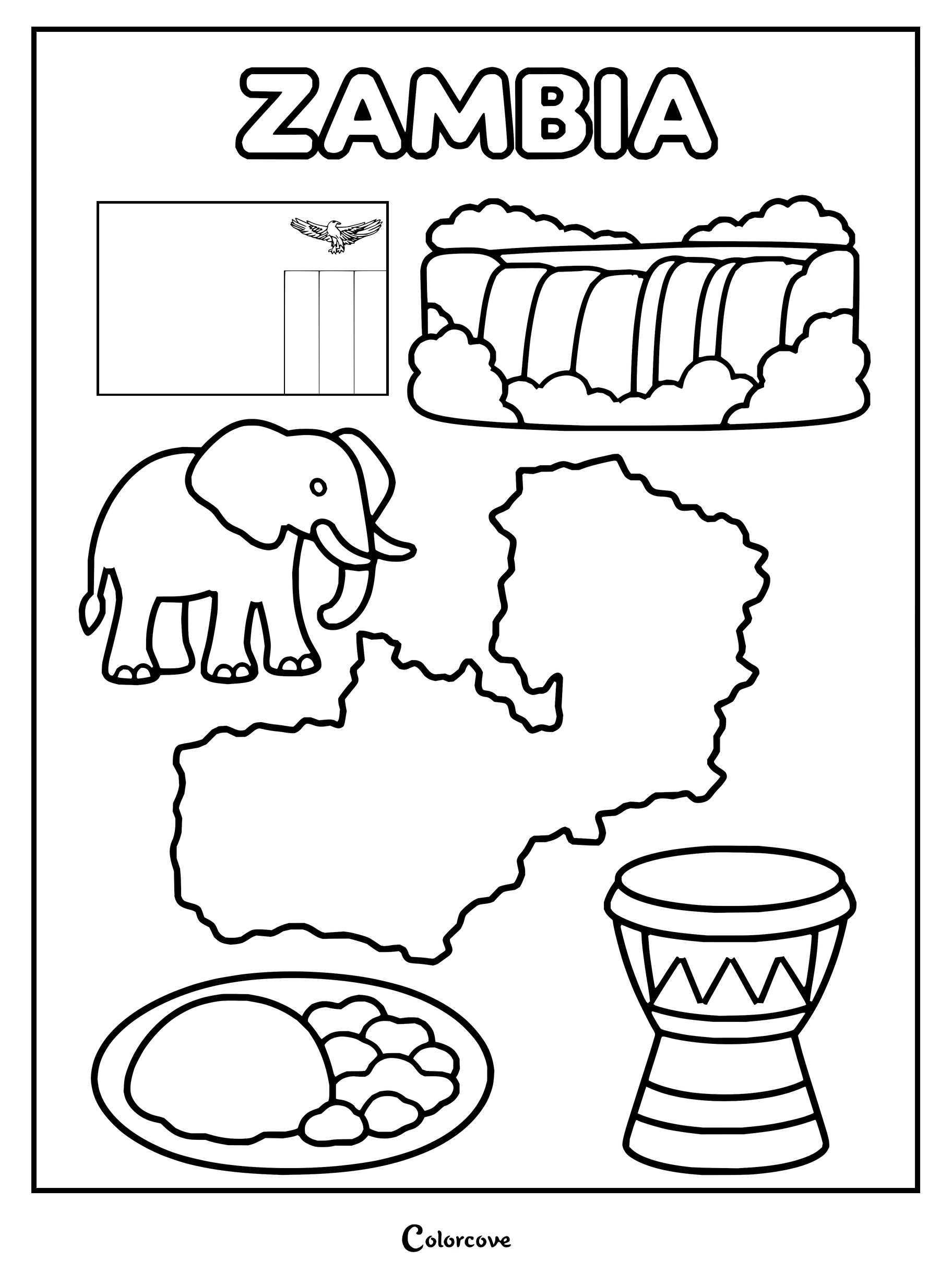
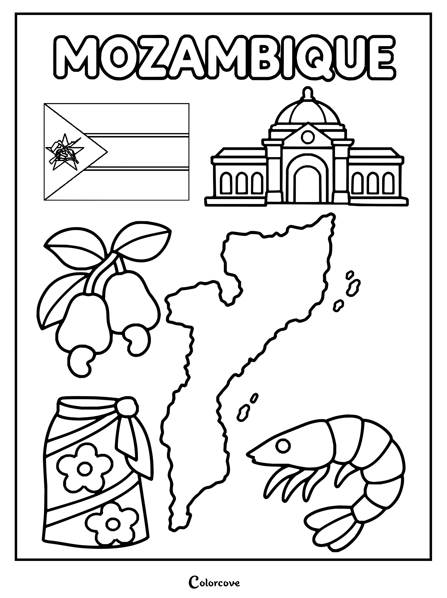
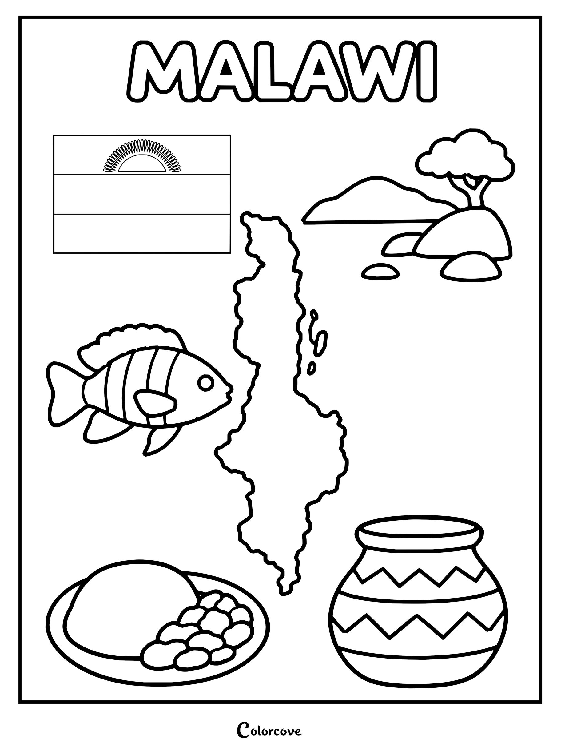
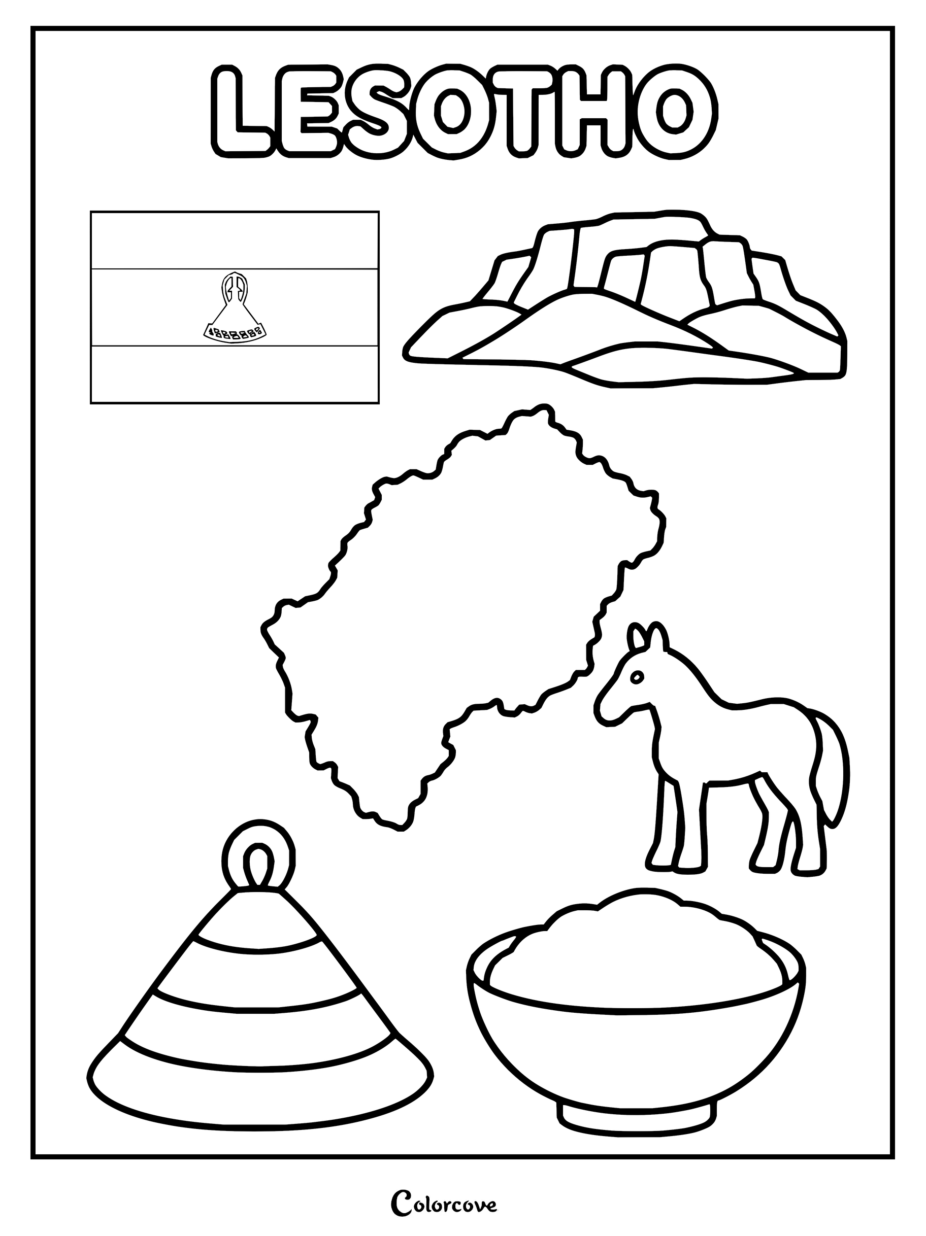
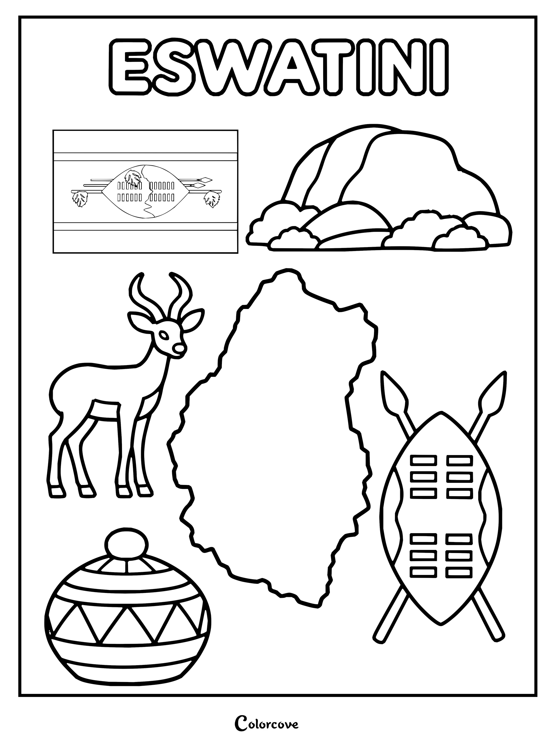
Discover national symbols of South Africa with this printable coloring page.Discover Namibia with its national map, flag, and cultural icons.Botswana coloring page featuring the country’s flag, map, and national symbols.Explore the geography and national symbols of Zimbabwe with this printable coloring page.Educational coloring page featuring Zambia’s map, flag, wildlife, and cultural symbols.Explore Mozambique with this detailed cultural coloring page.Explore Malawi with symbols including its flag, map, and culture.Explore the geography and culture of Lesotho.Coloring page featuring the flag, map, and national symbols of Eswatini.
Watch Easy Drawing and Coloring Tips for Kids
Follow this easy step-by-step video tutorial to learn simple drawing and coloring techniques for your coloring pages.
Classroom Geography and Homeschooling Lesson Plans with World Country Printables
Integrating 195 sovereign nation outlines into an elementary or middle school curriculum transforms abstract world maps into tangible, hands-on learning experiences. Rather than merely memorizing lists of capitals and borderlines from a textbook, students build deep spatial awareness, fine motor control, and cultural appreciation by actively coloring and categorizing each country.
Passport to the World Challenge: Distribute blank booklets where students paste a miniature copy of each finished country coloring sheet after completing a brief research card on its capital city, national language, and biome. Young learners who enjoy cross-cultural studies can also pair their passports with our Cute Princesses From Around The World Coloring Pages to explore traditional folk costumes.
Continental Wall Mural Collaborative Project: Divide large bulletin boards into the seven continental regions and assign individual nations to different student teams. Once students fill their assigned countries with realistic landform shading—marking mountain ranges in earthy sienna and rivers in cerulean—they assemble the sheets into a giant, textured mosaic of planet Earth.
Flag and Border Matching Relay: Use the printable country sheets alongside world flags for an energetic classroom review game. Students identify matching flag color schemes, color in the national borders accordingly, and describe neighboring sovereign states to earn team points during geography trivia sessions.
Biome and Climate Zone Color Coding: Teach ecological geography by assigning specific palette keys to world biomes instead of standard political boundaries. Have students color tundra and alpine regions in frosty cyan, tropical rainforest zones in emerald green, arid deserts in warm ochre, and temperate grasslands in golden olive to visually comprehend how climate zones traverse international borders.
ColorCove on the go!Color and save pages directly from your Android device.